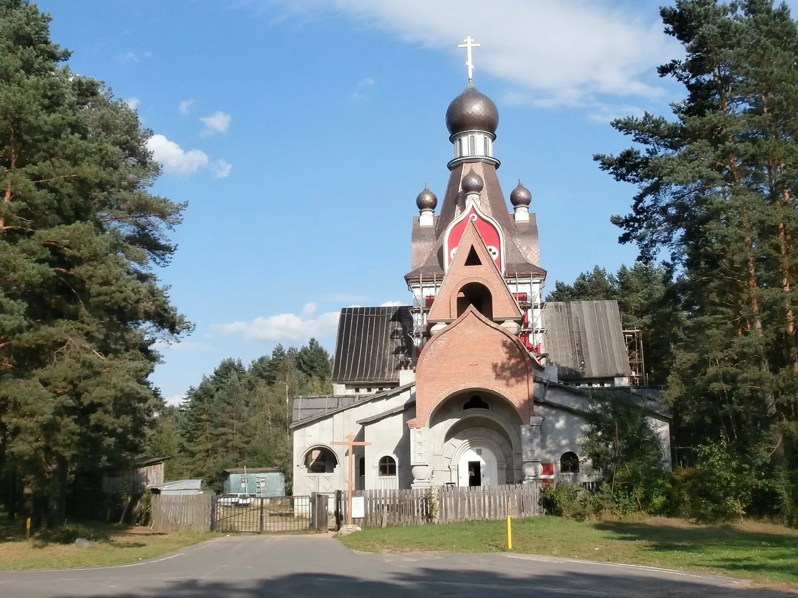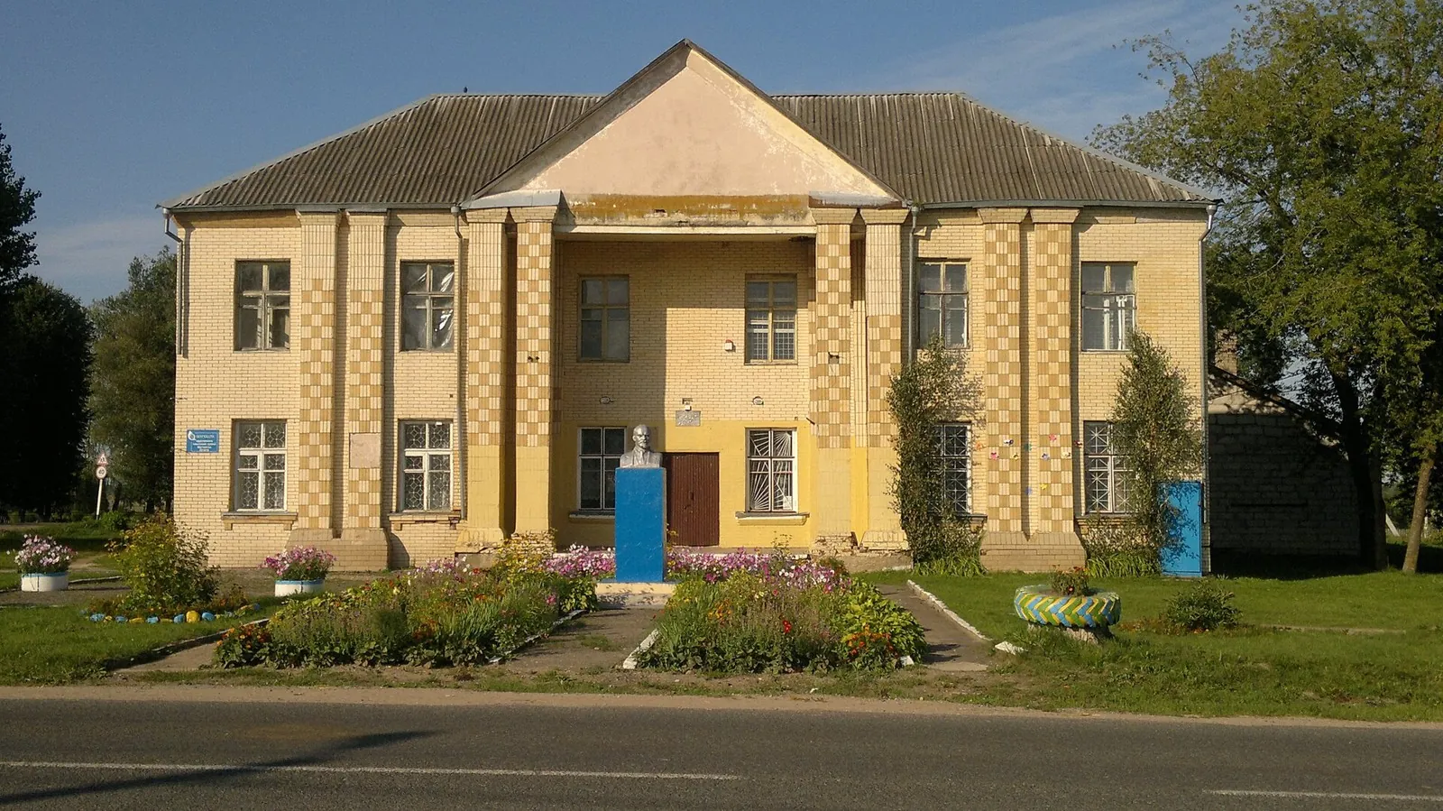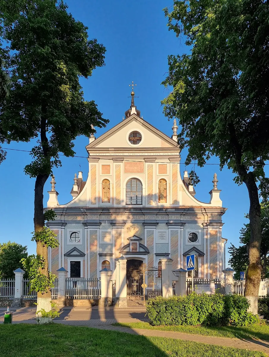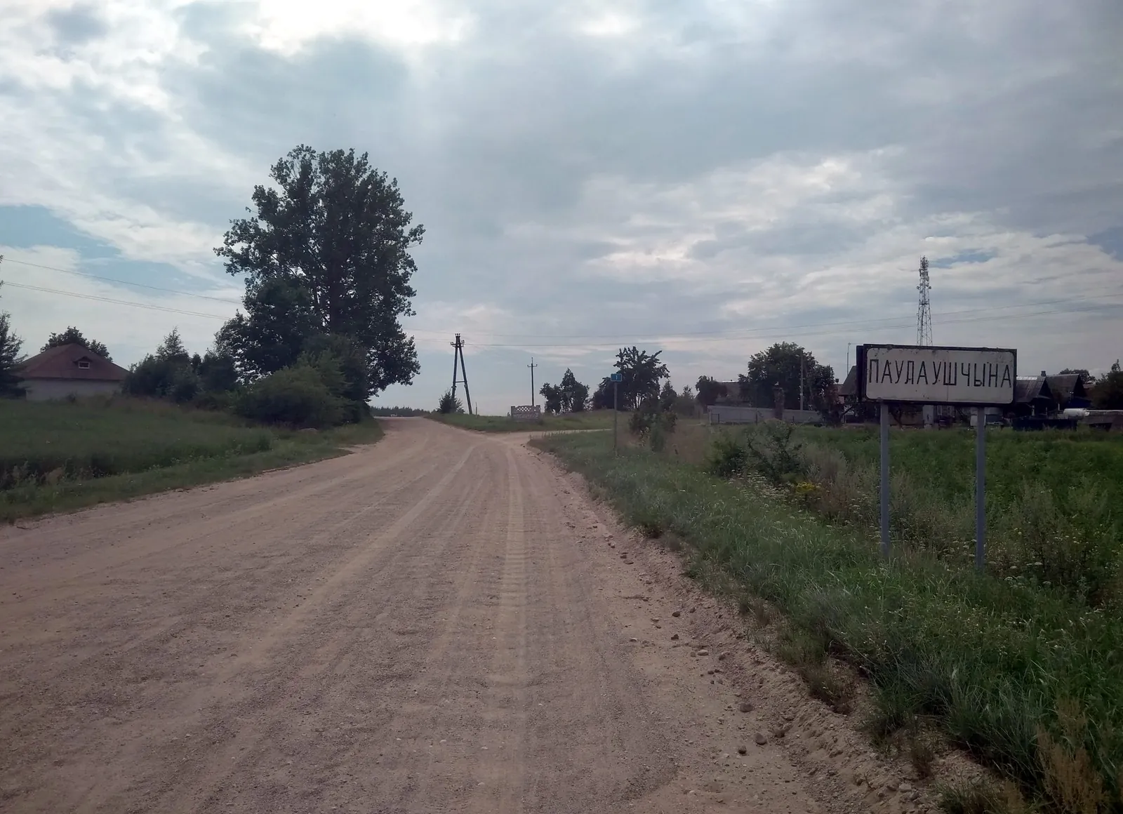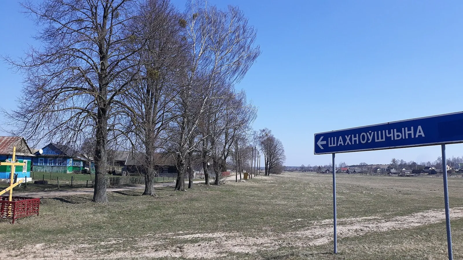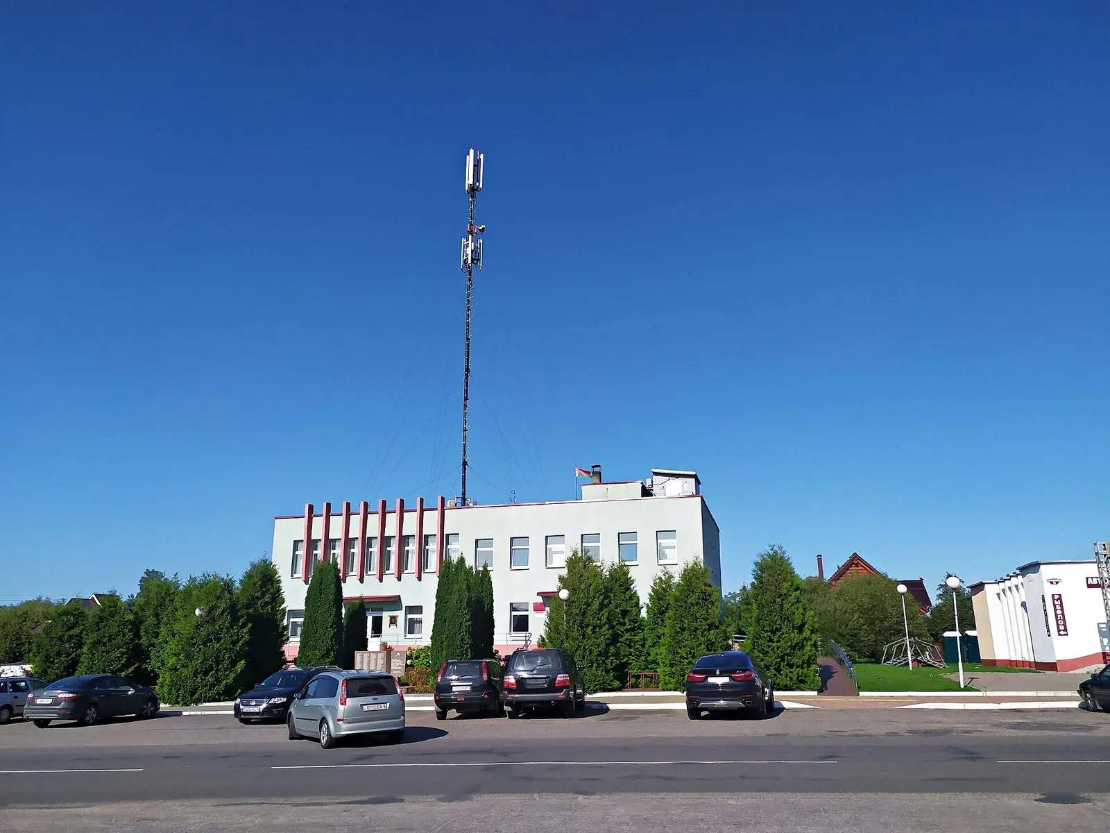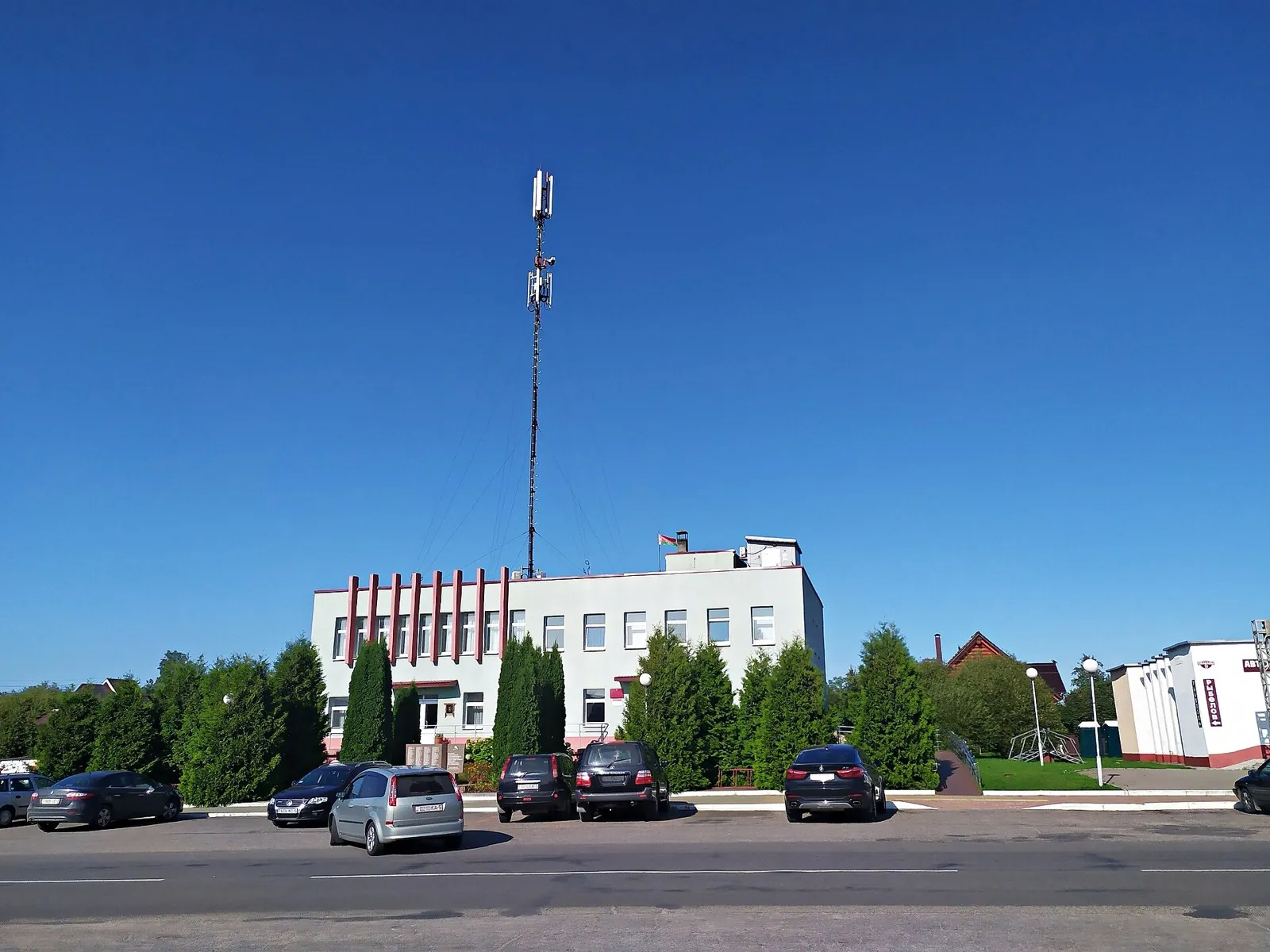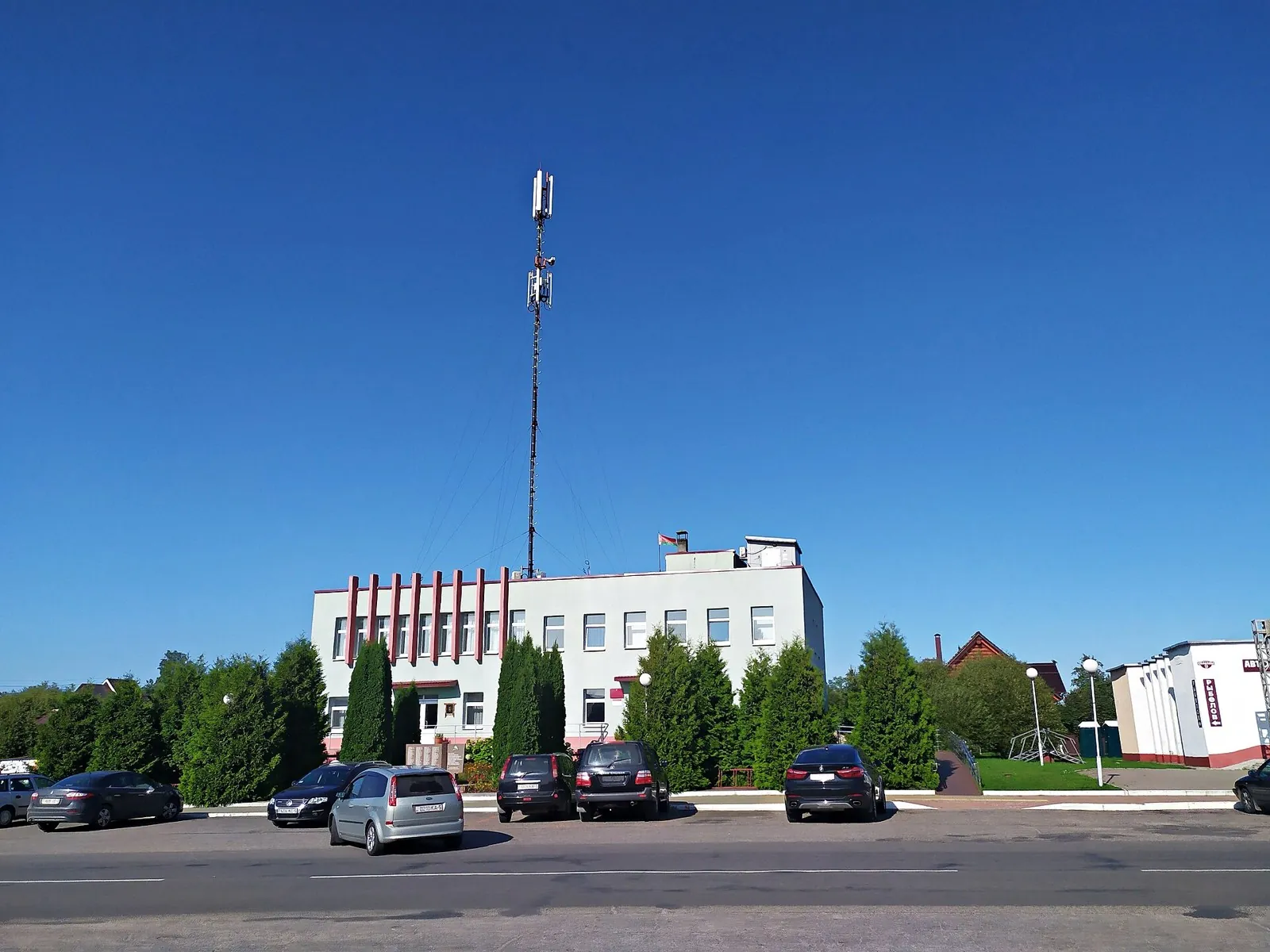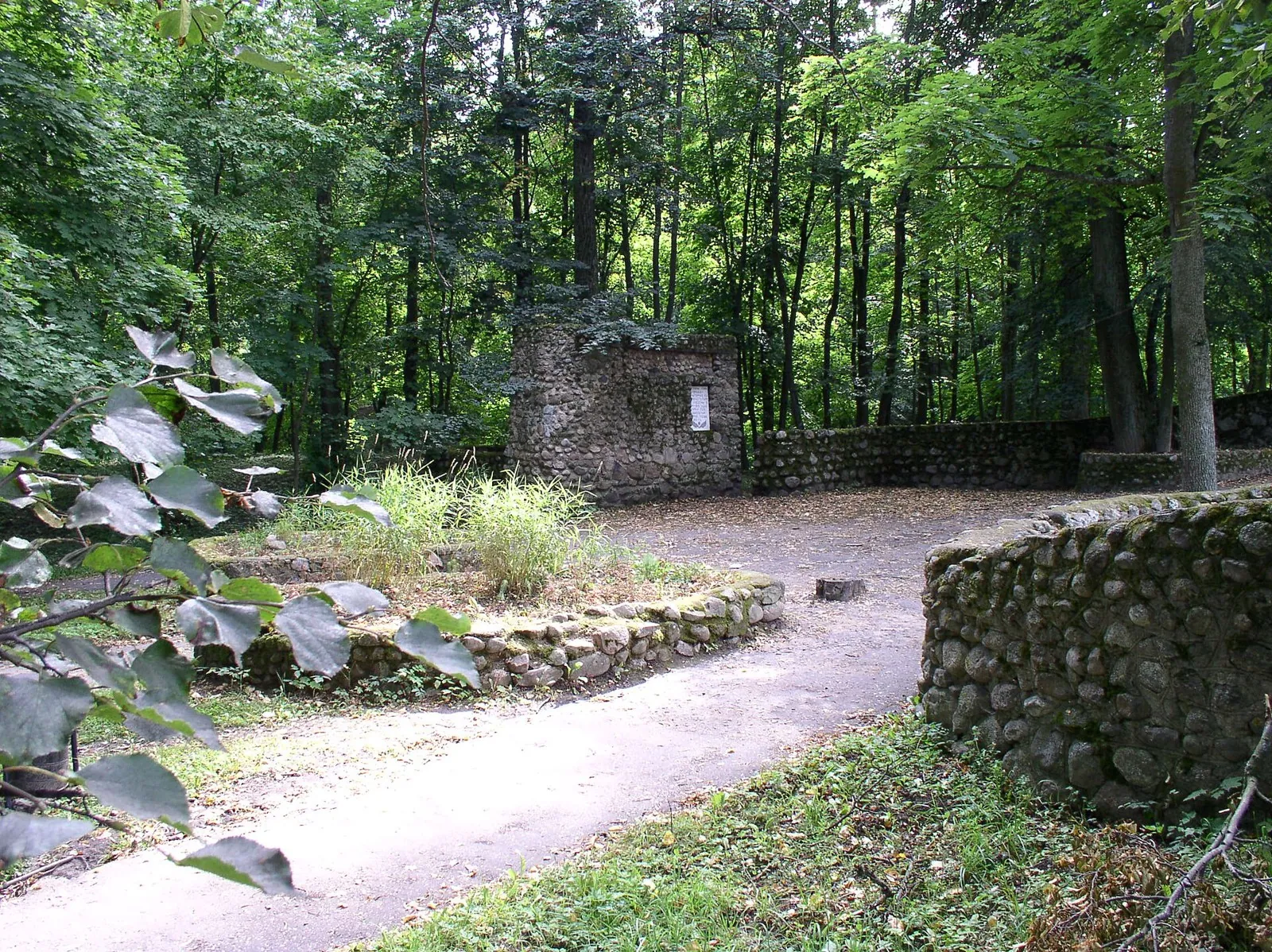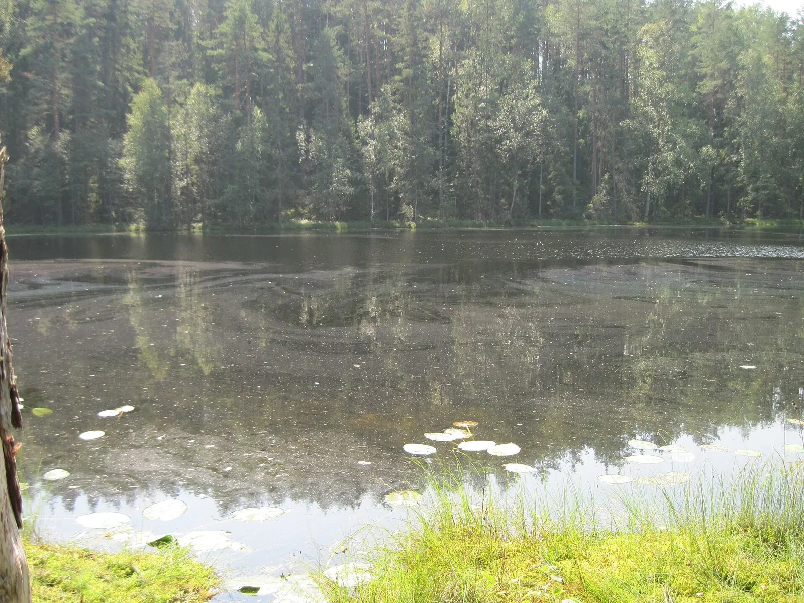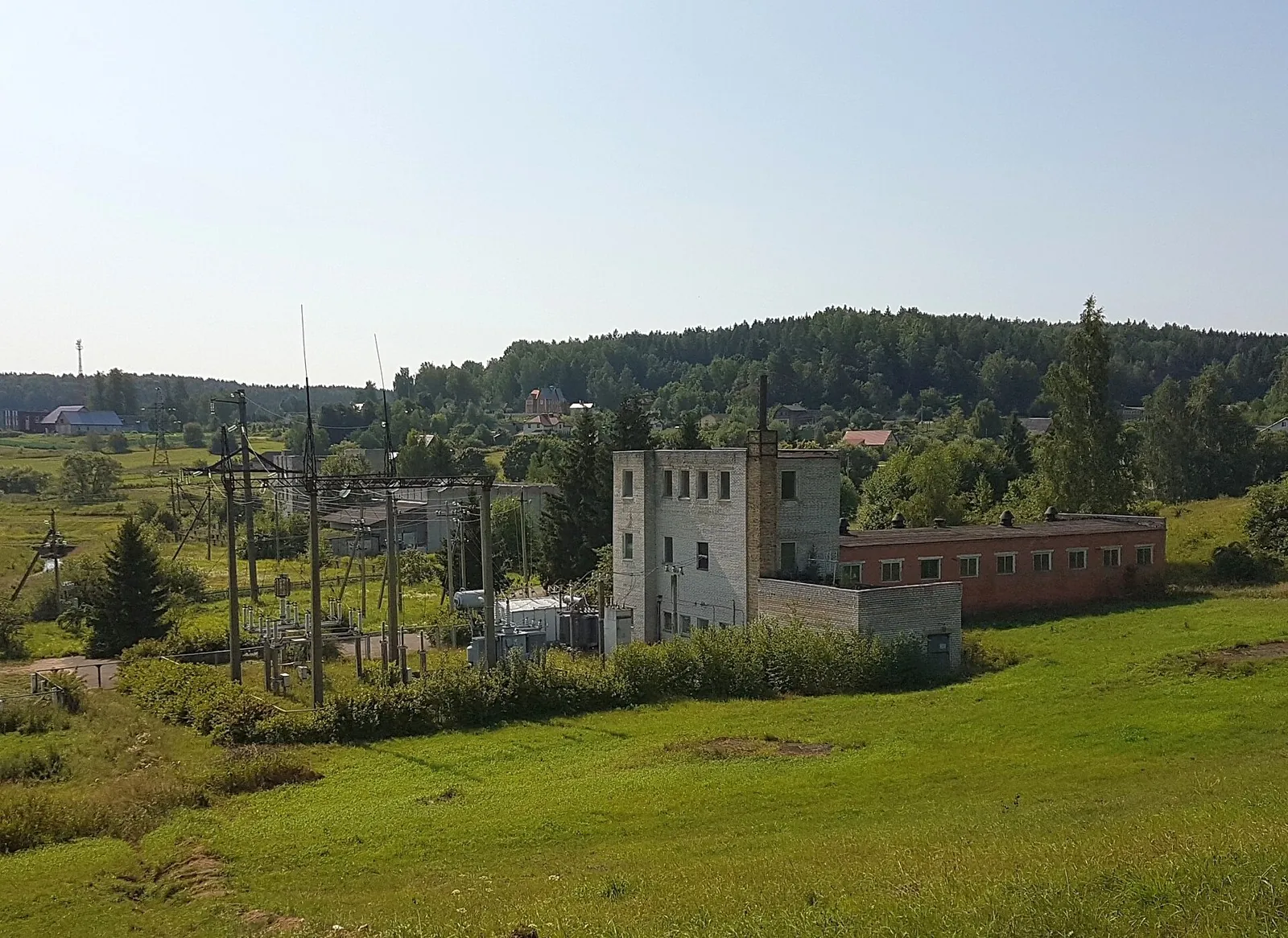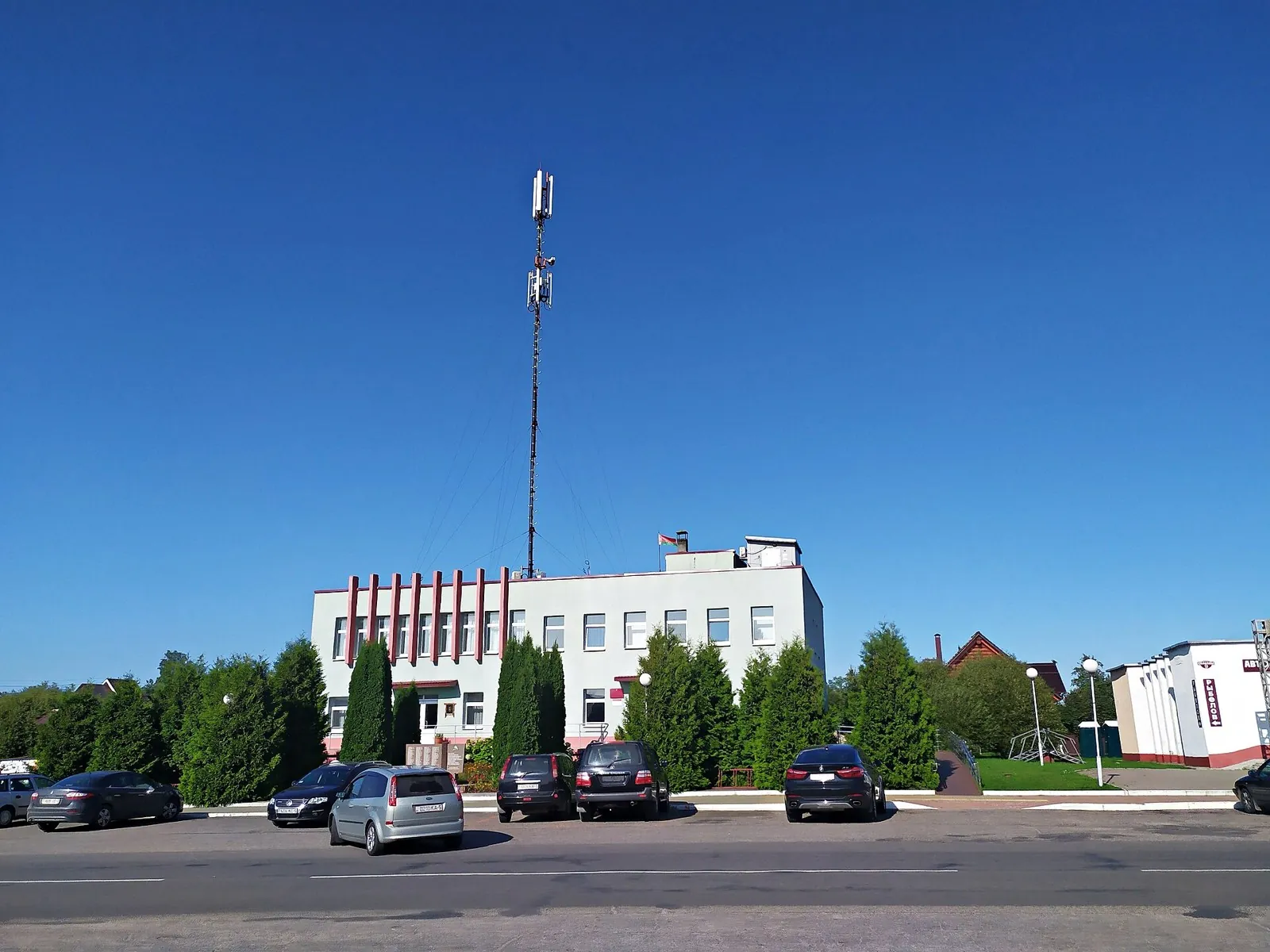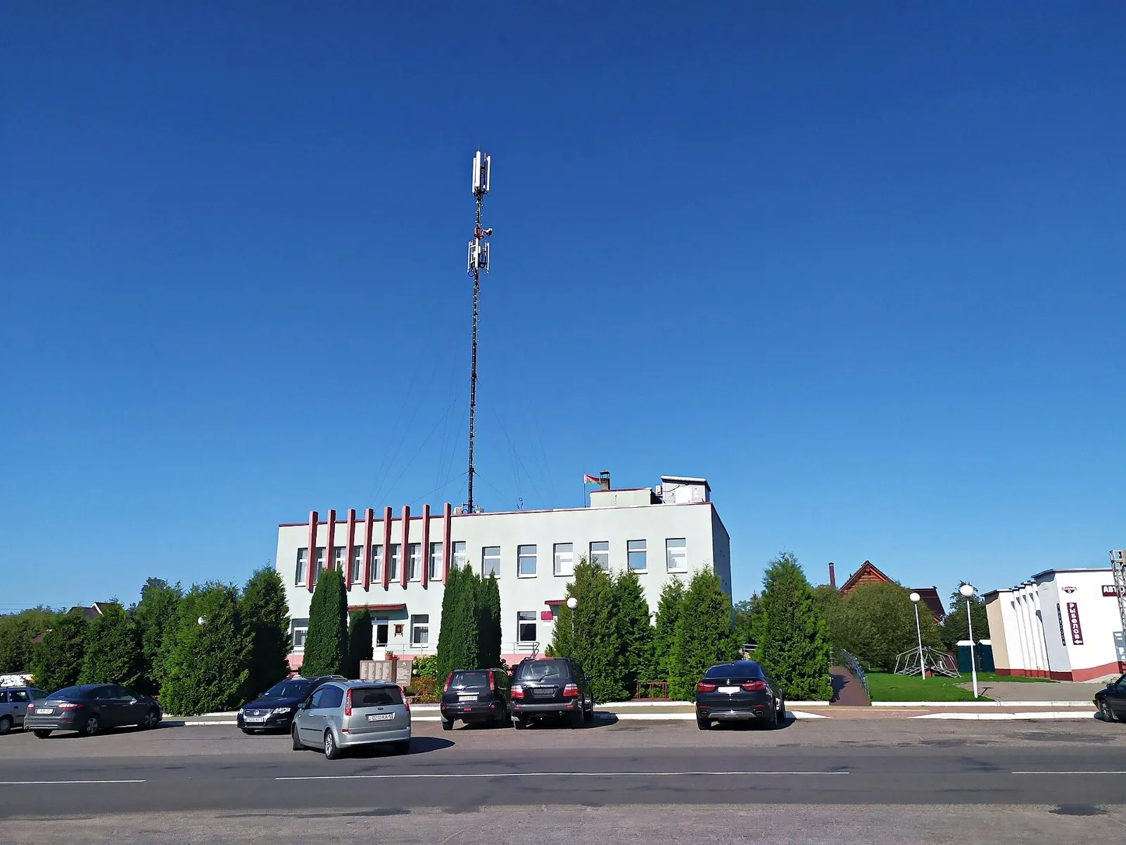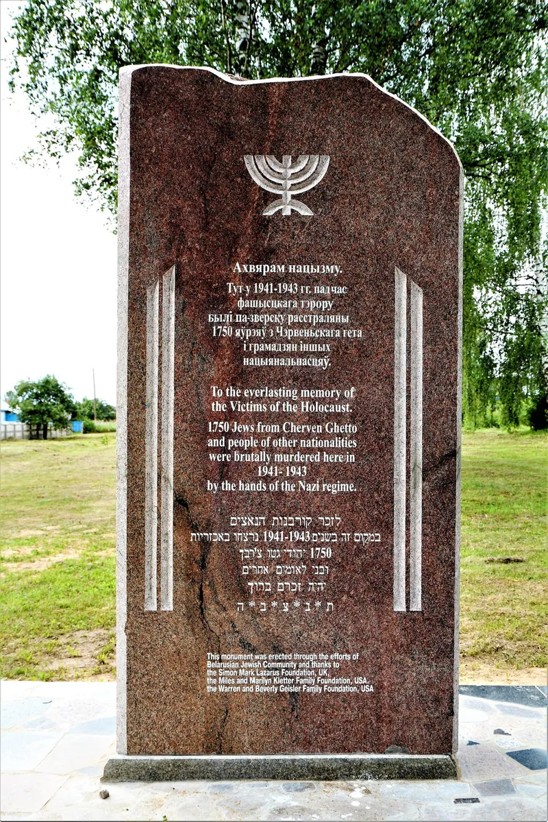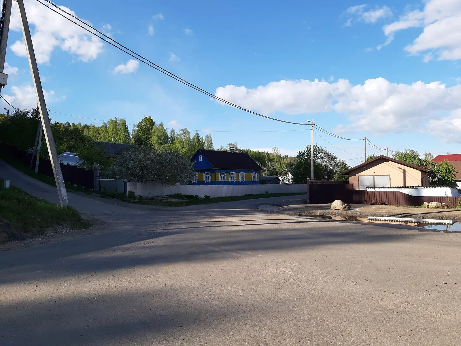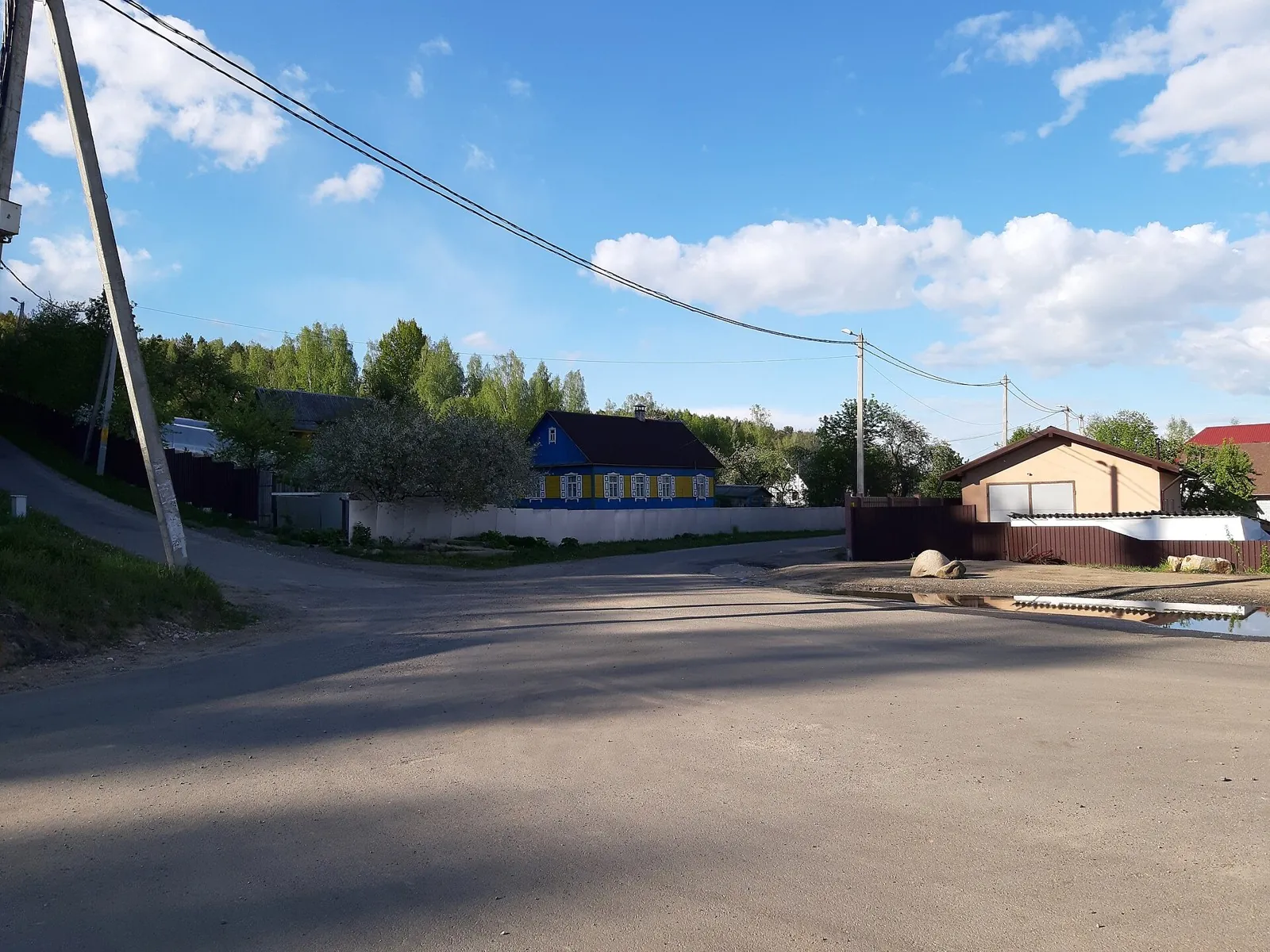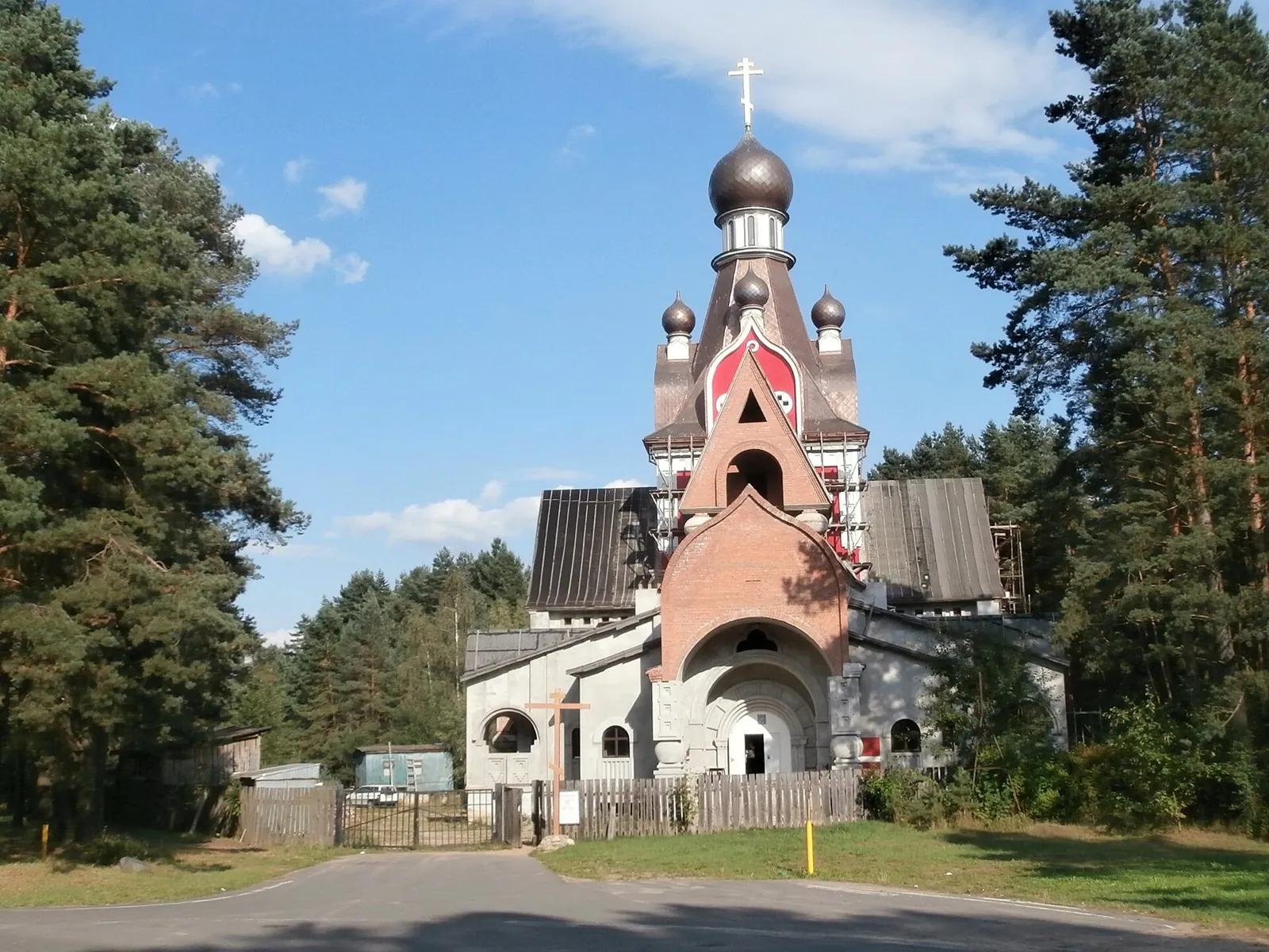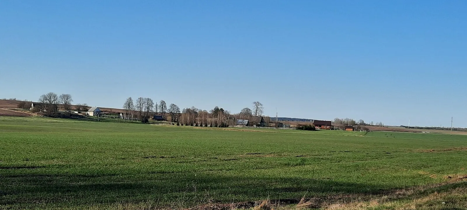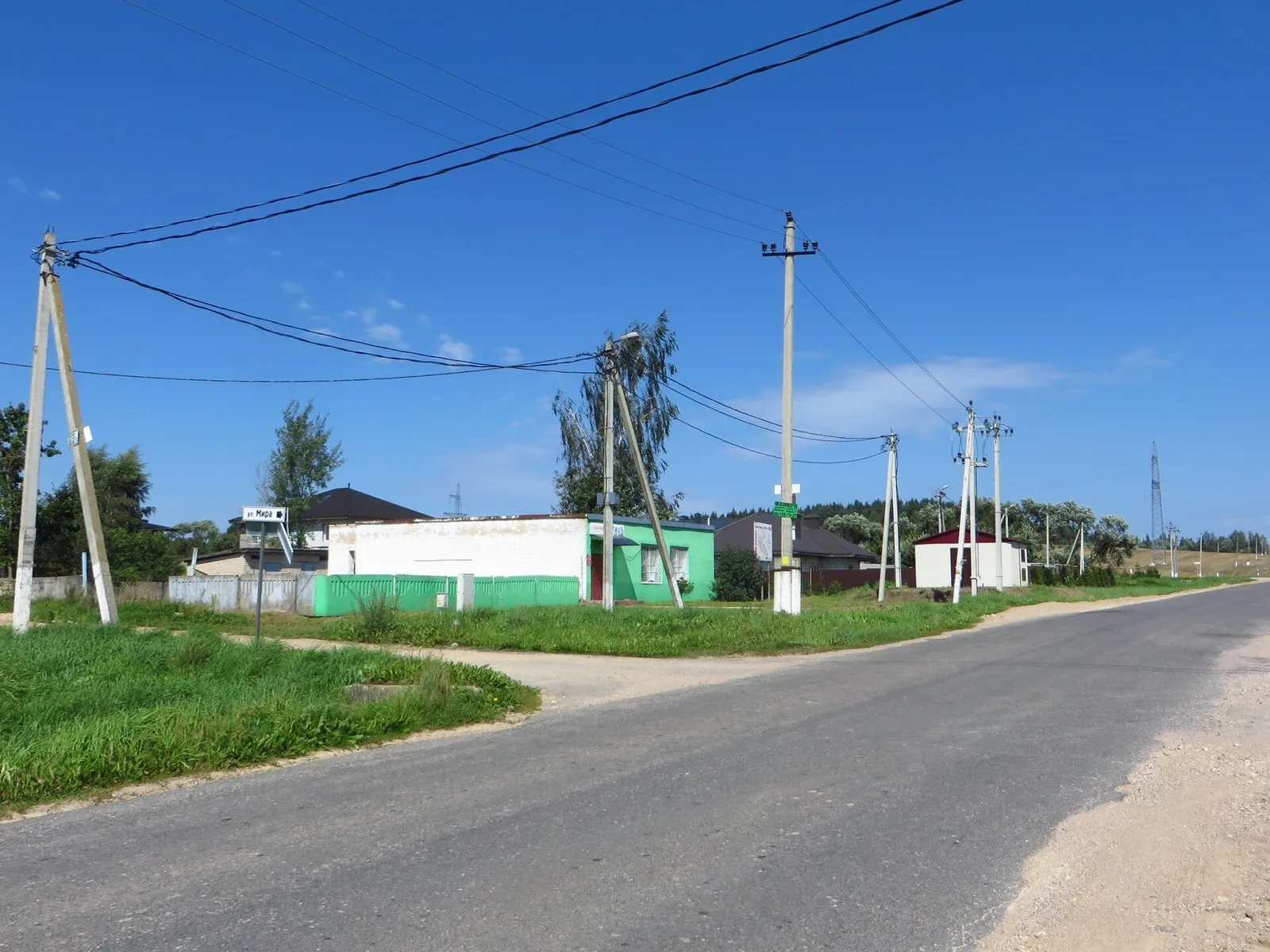


Malinovka Scenic End-of-Summer Route
The rhythm of this 39.63 km point-to-point walking route reflects the landscape: woodland is one of the route's main feat…

Маршруты с геометрией, которые можно открыть на карте и скачать.
Подборка
На этой странице собраны маршруты с gpx и связанные материалы по региону Беларуси. Используйте карточки маршрутов, GPX и карту TrailTrack, чтобы быстро выбрать подходящий вариант.
644 routes
The rhythm of this 39.63 km point-to-point walking route reflects the landscape: woodland is one of the route's main feat…
Across this 8.75 km point-to-point walking route, the setting unfolds gradually: shore or waterside sections are recorded…
This 155.72 km point-to-point walking route is worth taking at a steady pace; woodland is one of the route's main feature…
On this 60.21 km point-to-point walking route, the landscape makes its character clear early: shore or waterside sections…
The track links Krasivoe zabolochenoe Lake, Polyany vdol berega, Lake Bezdonnoe into one continuous outdoor outing. Fores…
Across this 2.62 km point-to-point walking route, the setting unfolds gradually: shore or waterside sections are recorded…
Mapped stops at Ivenetskiy Museum Traditsionnoy Kultury GU, Museum-galereya «Yanushkevichy, Staryy park add clear points …
The route gives you good reasons to pause at Ivenetskiy Museum Traditsionnoy Kultury GU, Museum-galereya «Yanushkevichy, …
The track links Ivenetskiy Museum Traditsionnoy Kultury GU, Museum-galereya «Yanushkevichy, Bridge into one continuous ou…
Treat this 5.45 km circular walking route as a complete outing, paying attention to the terrain and changing surface unde…
Mapped stops at Mapped Route Point, Mostik-brevno, Mapped Route Point add clear points of interest along the way. Forest …
On this 7.63 km circular walking route, the landscape makes its character clear early: woodland is one of the route's mai…
The rhythm of this 4.66 km circular walking route reflects the landscape: woodland is one of the route's main features. N…
Across this 10.27 km circular walking route, the setting unfolds gradually: woodland is one of the route's main features.…
This 10.1 km point-to-point walking route is worth taking at a steady pace; shore or waterside sections are recorded on t…
On this 0.3 km point-to-point walking route, the landscape makes its character clear early: woodland is one of the route'…
The interest of this 40.88 km point-to-point walking route lies in travelling the distance itself: its gradients, surface…
Across this 37.83 km point-to-point walking route, the setting unfolds gradually: woodland is one of the route's main fea…
This 1.1 km circular walking route is worth taking at a steady pace; woodland is one of the route's main features. Gentle…
On this 1.28 km circular walking route, the landscape makes its character clear early: woodland is one of the route's mai…
The interest of this 48.35 km circular cross-country skiing route lies in travelling the distance itself: its gradients, …
Treat this 32.56 km point-to-point cross-country skiing route as a complete outing, paying attention to the terrain and c…
This 4 km circular cycling route is worth taking at a steady pace; woodland is one of the route's main features. Rolling …
This 1.78 km point-to-point cycling route is shaped by its terrain, surface and pace rather than a single landmark. Gentl…
Материалы
FAQ
Смотрите дистанцию и набор высоты. Для спокойного выезда начинайте с коротких маршрутов, а сложные варианты оставляйте для подготовленной группы.
Проверяйте сезонность. Зимой часть маршрутов может требовать лыж, снегоступов или другой подготовки, а после дождей грунт меняется.
Открывайте карту и GPX. Карточки TrailTrack помогают заранее оценить трек, точки, покрытие и логистику.
Похожие страницы