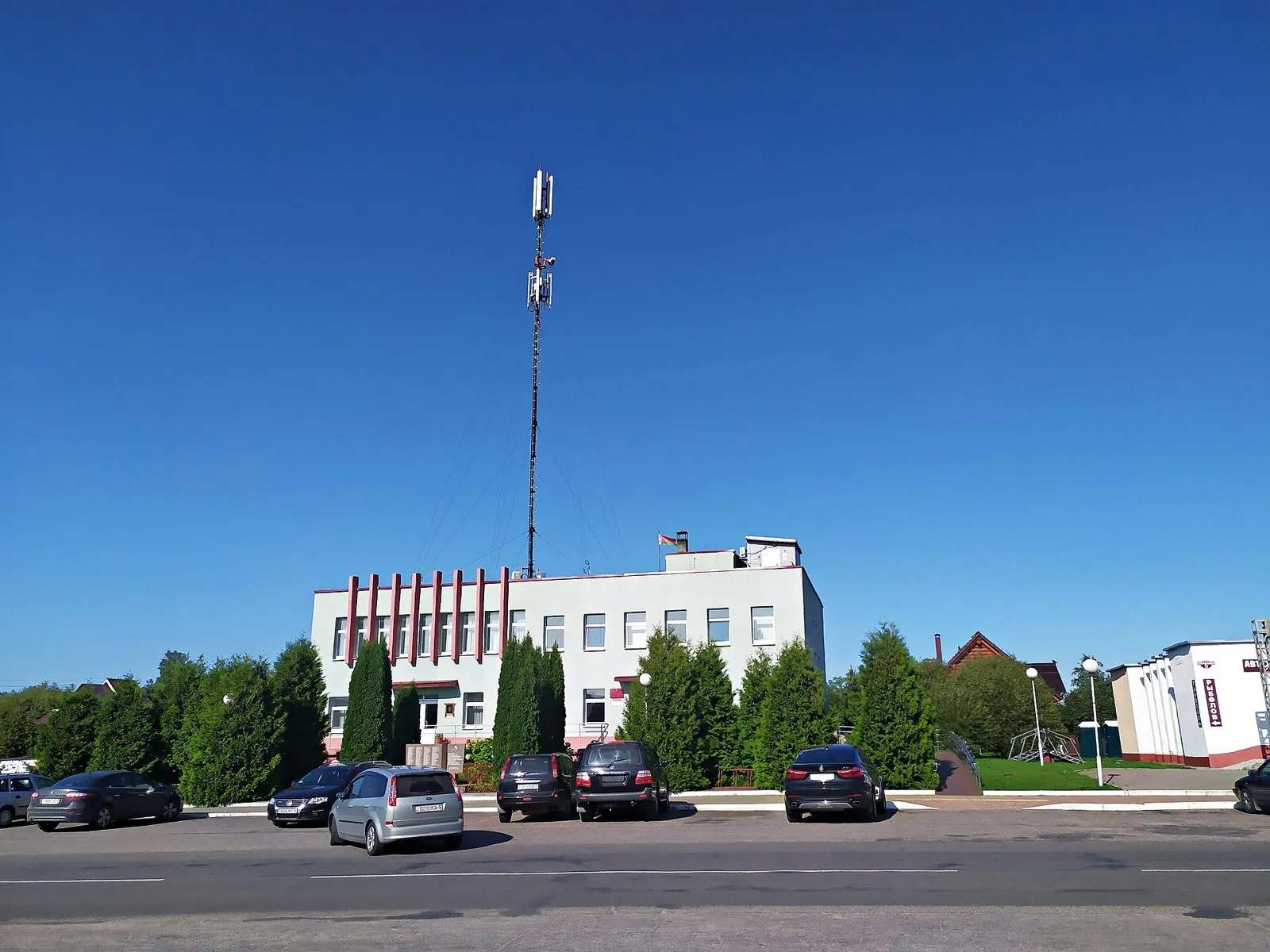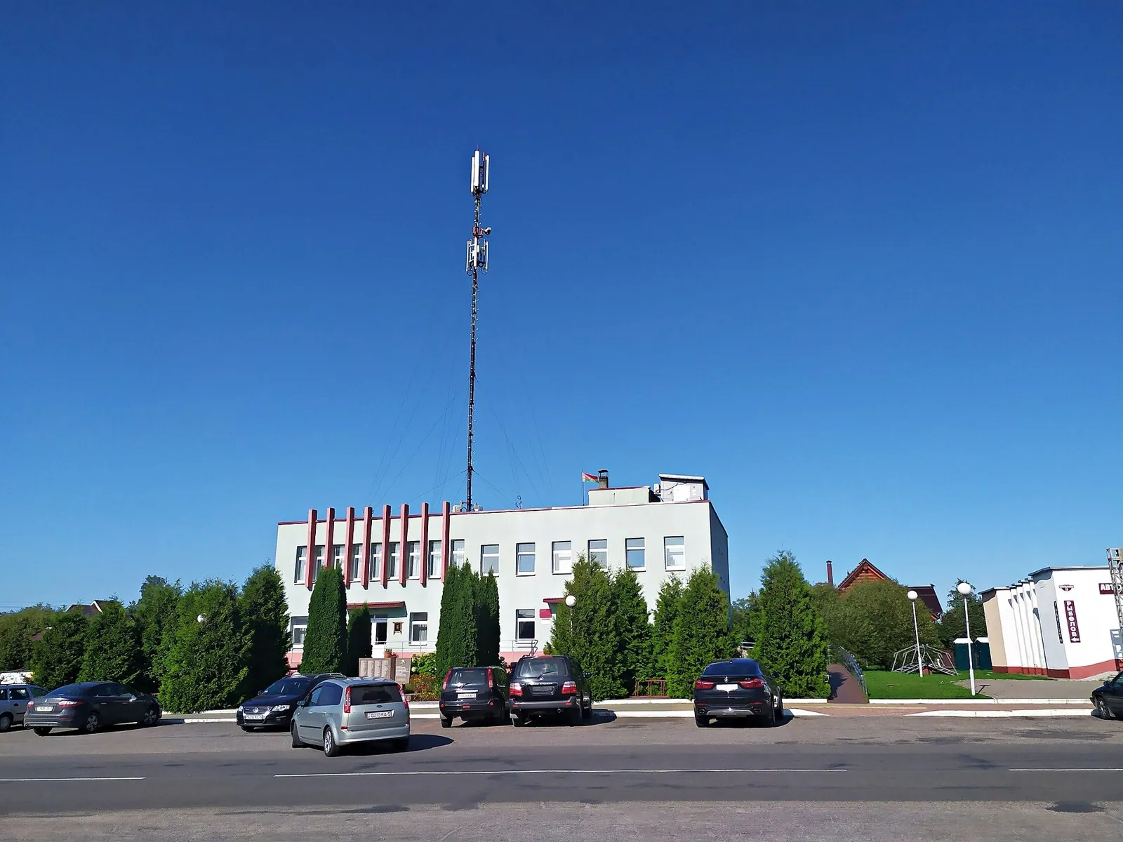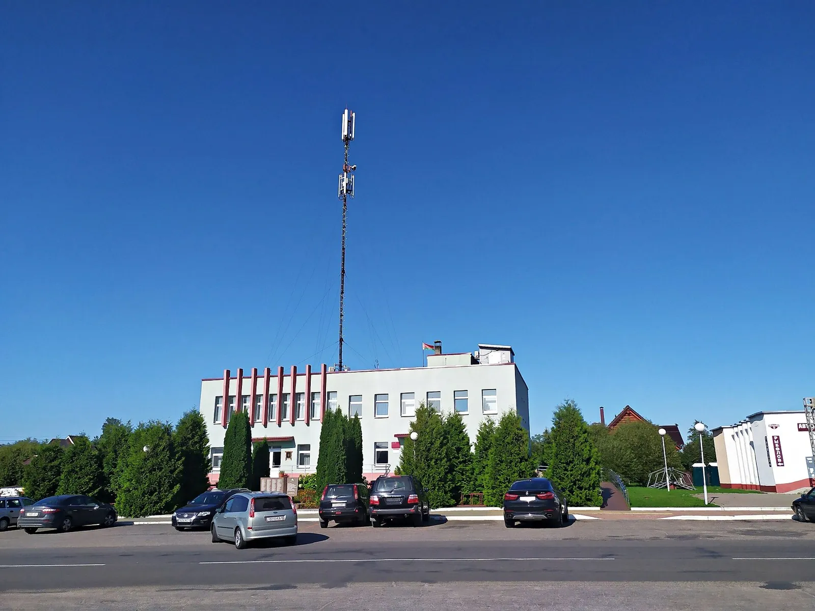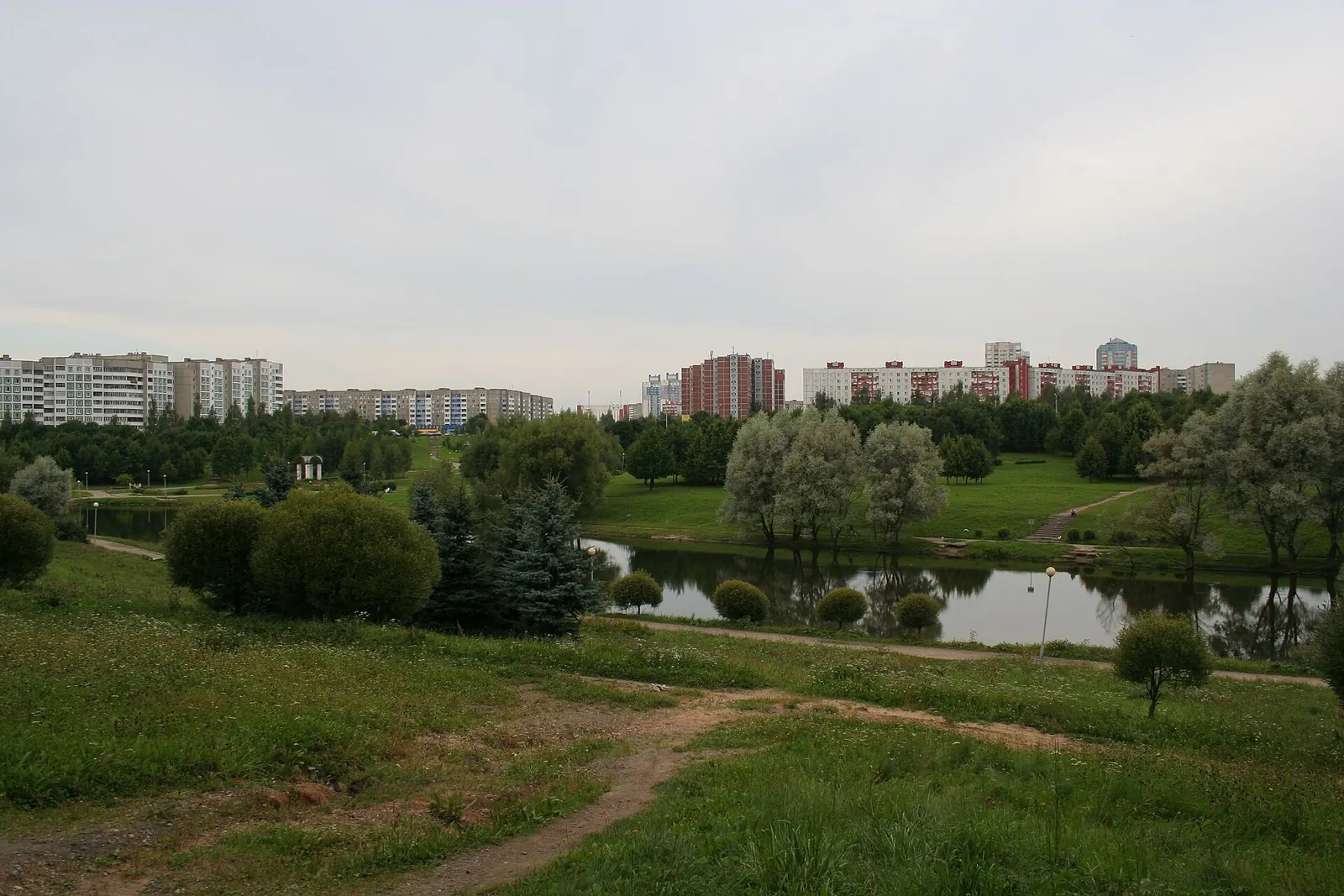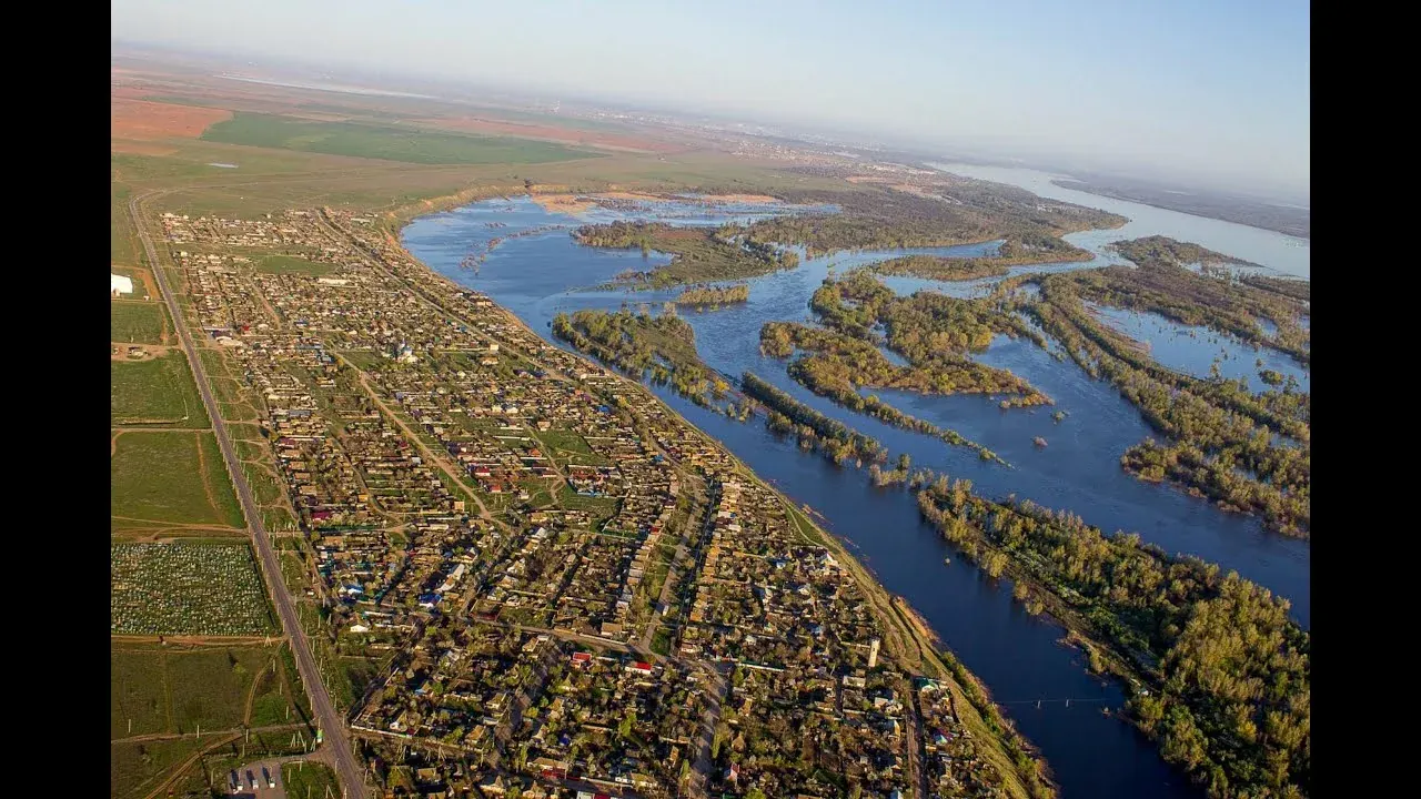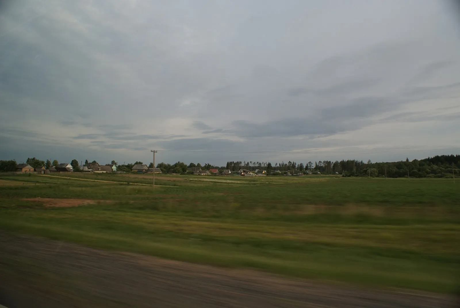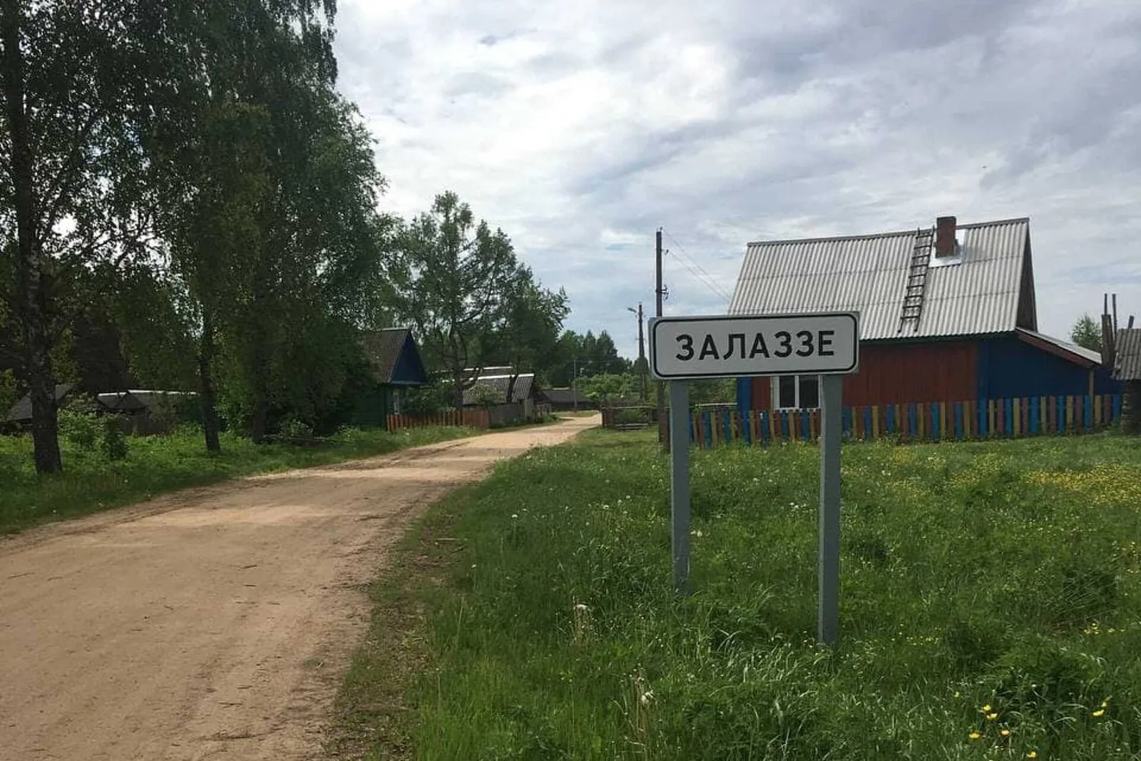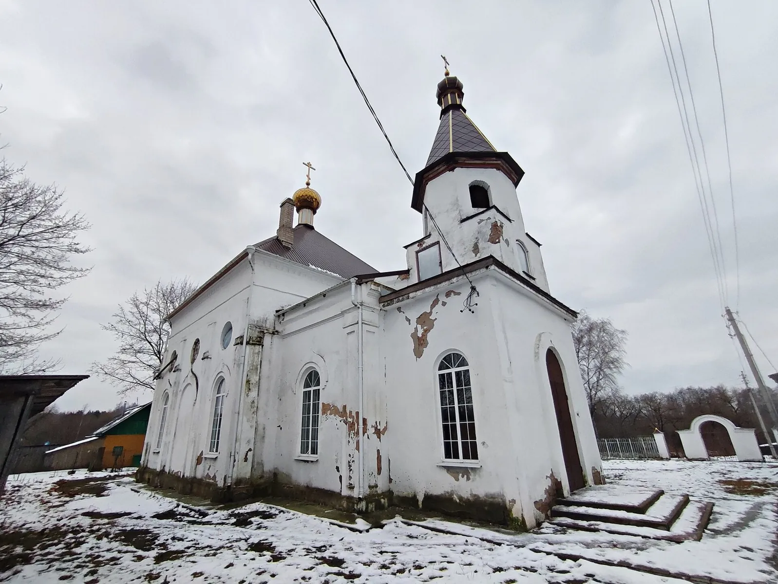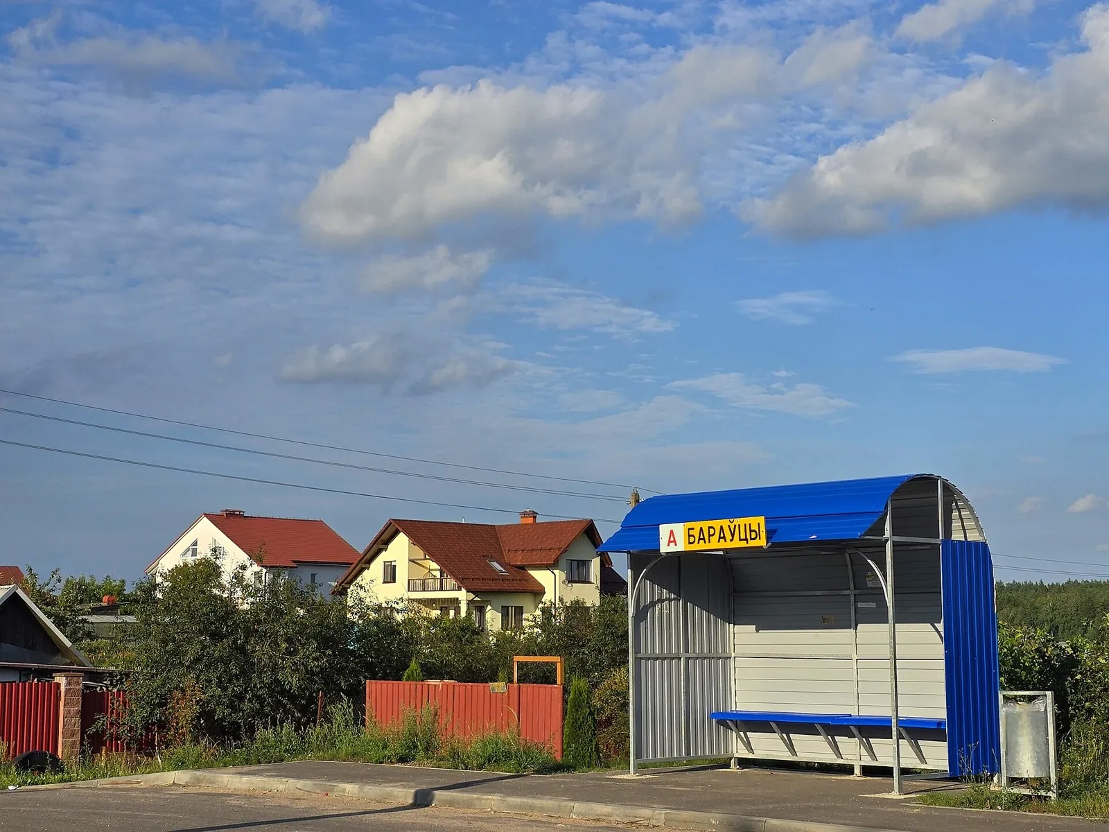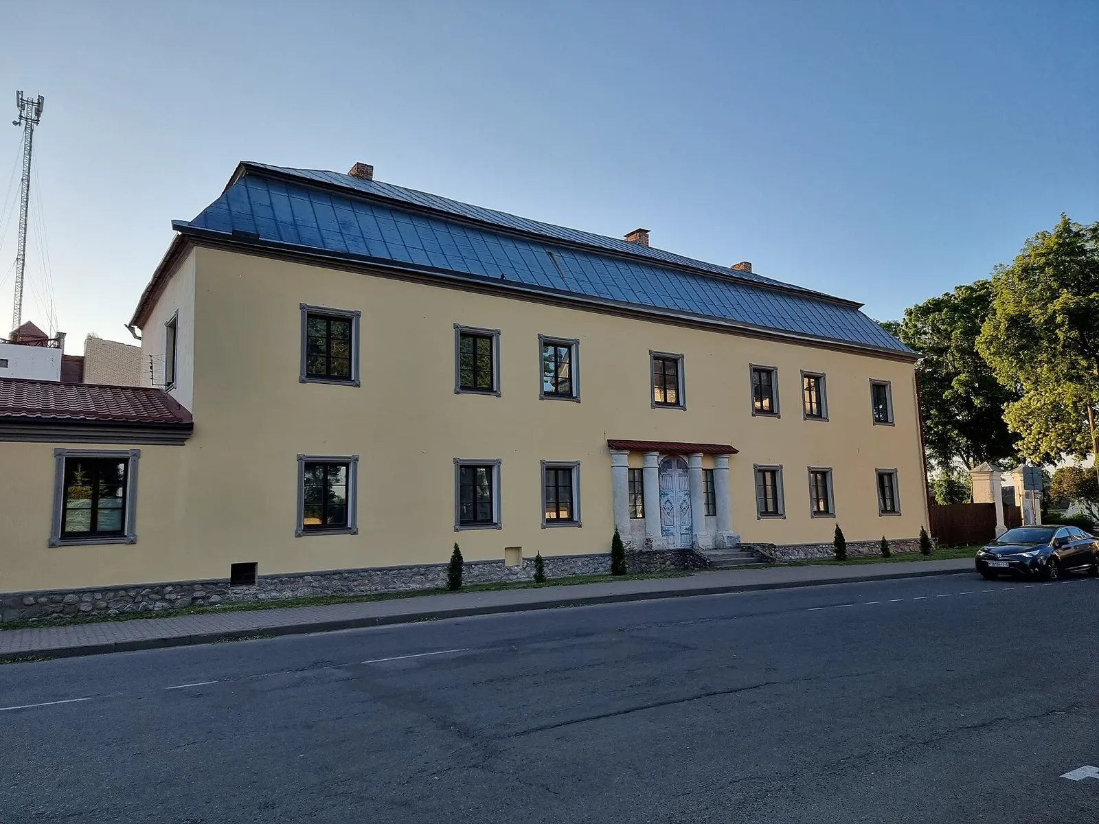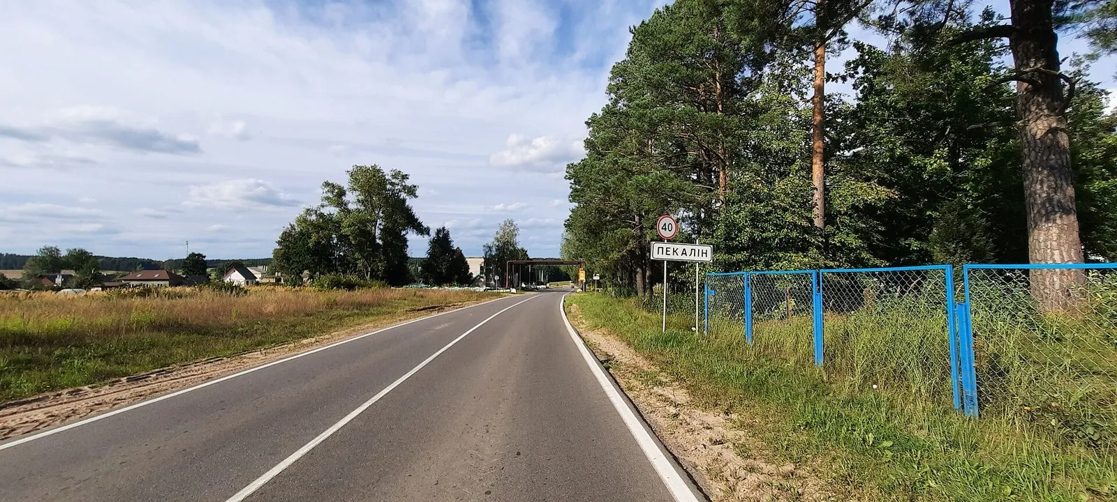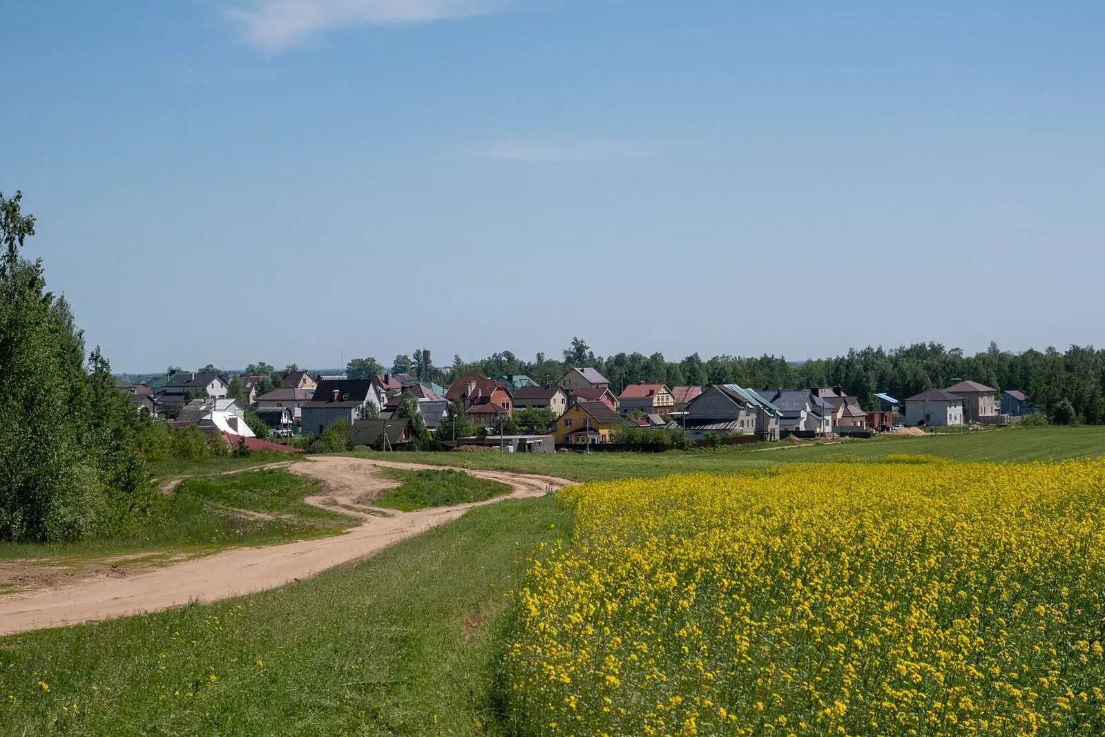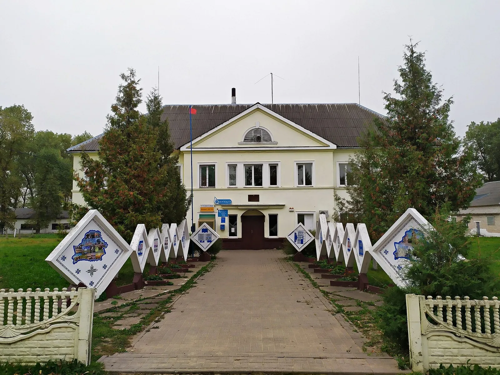


Neman Fords near Dzerzhinsk: Multi-Day Route
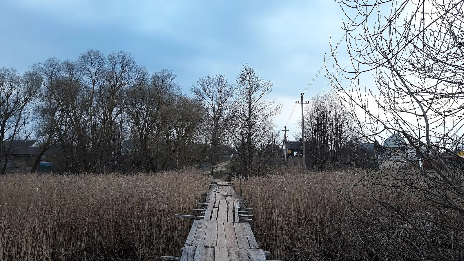
Shore or waterside sections are recorded on the route along this 71.22 km point-to-point walking route. Gentle terrain: 5…

Трейлы с фотографиями с картой, параметрами и полезными материалами.
Подборка
На этой странице собраны трейлы с фотографиями и связанные материалы по региону Беларуси. Используйте карточки маршрутов, GPX и карту TrailTrack, чтобы быстро выбрать подходящий вариант.
147 routes
Shore or waterside sections are recorded on the route along this 71.22 km point-to-point walking route. Gentle terrain: 5…
This is a 21.59 km circular walking route. Woodland is one of the route's main features. Gentle terrain: 18 m of total as…
This 111.31 km point-to-point walking route passes through terrain where woodland is one of the route's main features. Ge…
Mapped stops at Spring add clear points of interest along the way. Forest sections: woodland is one of the route's main f…
Mapped stops at Museum Ya. Kolasa. F1, obzorka add clear points of interest along the way. Near the water: shore or water…
The interest of this 34.88 km point-to-point walking route lies in travelling the distance itself: its gradients, surface…
The recorded line is a 65.17 km point-to-point walking route, with woodland is one of the route's main features. Gentle t…
Expect shore or waterside sections are recorded on the route on this 8.75 km point-to-point walking route. Gentle terrain…
The track links Lake Bezdonnoye into one continuous outdoor outing. Forest sections: woodland is one of the route's main …
Mapped stops at Ivenetskiy Museum Traditsionnoy Kultury GU, Museum-galereya «Yanushkevichy, Staryy park add clear points …
The route gives you good reasons to pause at Ivenetskiy Museum Traditsionnoy Kultury GU, Museum-galereya «Yanushkevichy, …
The track links Ivenetskiy Museum Traditsionnoy Kultury GU, Museum-galereya «Yanushkevichy, Bridge into one continuous ou…
The main recorded stops are togkaya tropochka vdol berega, making this a route to explore rather than rush through. Fores…
Expect shore or waterside sections are recorded on the route on this 148.63 km point-to-point walking route. Gentle terra…
The route includes sites with cultural context along this 312.49 km point-to-point walking route. Gentle terrain: 219 m o…
This 78.36 km circular walking route passes through terrain where shore or waterside sections are recorded on the route. …
Expect shore or waterside sections are recorded on the route on this 976.79 km point-to-point walking route. Gentle terra…
Woodland is one of the route's main features along this 109.13 km circular walking route. Gentle terrain: 359 m of total …
The recorded line is a 360.69 km point-to-point walking route, with woodland is one of the route's main features. Gentle …
This 59.27 km point-to-point walking route passes through terrain where woodland is one of the route's main features. Gen…
Woodland is one of the route's main features along this 109.9 km point-to-point walking route. Gentle terrain: 100 m of t…
This 0.36 km point-to-point walking route passes through terrain where woodland is one of the route's main features. Stro…
Expect woodland is one of the route's main features on this 10.23 km circular walking route. Rolling terrain: 134 m of to…
The recorded line is a 19.63 km circular walking route, with woodland is one of the route's main features. Gentle terrain…
Материалы
FAQ
Смотрите дистанцию и набор высоты. Для спокойного выезда начинайте с коротких маршрутов, а сложные варианты оставляйте для подготовленной группы.
Проверяйте сезонность. Зимой часть маршрутов может требовать лыж, снегоступов или другой подготовки, а после дождей грунт меняется.
Открывайте карту и GPX. Карточки TrailTrack помогают заранее оценить трек, точки, покрытие и логистику.
Похожие страницы