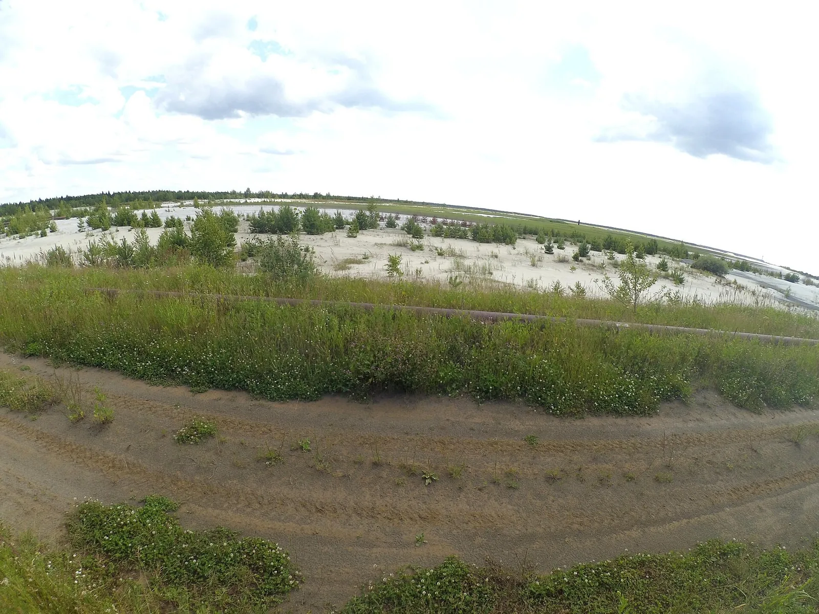


Oka riverside dunes (Akri — Turovo)
The multi-section hiking route “Oka riverside dunes (Akri — Turovo)” is approximately 26.1 km long, with about 210 m of a…

Походы с фотографиями с картой, параметрами и полезными материалами.
Подборка
На этой странице собраны походы с фотографиями и связанные материалы по региону Москвы и Московской области. Используйте карточки маршрутов, GPX и карту TrailTrack, чтобы быстро выбрать подходящий вариант.
59 routes
The multi-section hiking route “Oka riverside dunes (Akri — Turovo)” is approximately 26.1 km long, with about 210 m of a…
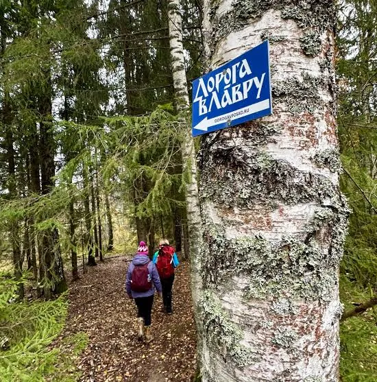
The point-to-point hiking route “Road to the Trinity Lavra (Moscow to Sergiev Posad)” is approximately 113.1 km long. The…
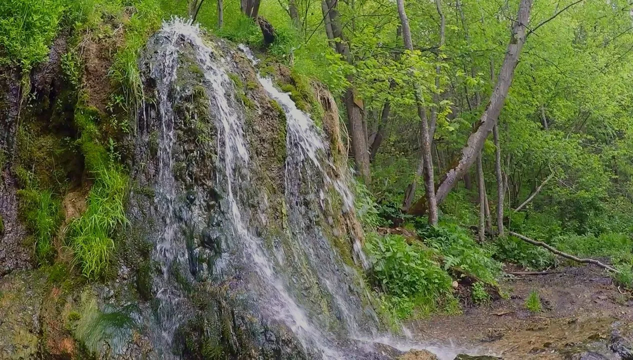
The multi-section hiking route “To Raduzhny waterfall” is approximately 18.3 km long, with about 80 m of ascent from the …
The multi-section hiking route “Bunchikha Ravine (Belopesotsky to Zhilevo)” is approximately 30.8 km long, with about 230…
The multi-section hiking route “Lopatino Quarries” is approximately 37.4 km long, with about 160 m of ascent from the GPX…
The multi-section hiking route “Nerskaya River” is approximately 23.2 km long, with about 80 m of ascent from the GPX. Th…
The multi-section hiking route “«Phystech» (Mytishchi — Dolgoprudnyy)” is approximately 19.8 km long. The route provides …
The loop hiking route “Moscow Green Ring” is approximately 162.2 km long. The route provides a ready-made line for explor…
The multi-section hiking route “Firsanovka to Serednikovo Estate” is approximately 14.1 km long, with about 100 m of asce…
The multi-section hiking route “Borovsk — Vereya” is approximately 49.9 km long, with about 420 m of ascent from the GPX.…
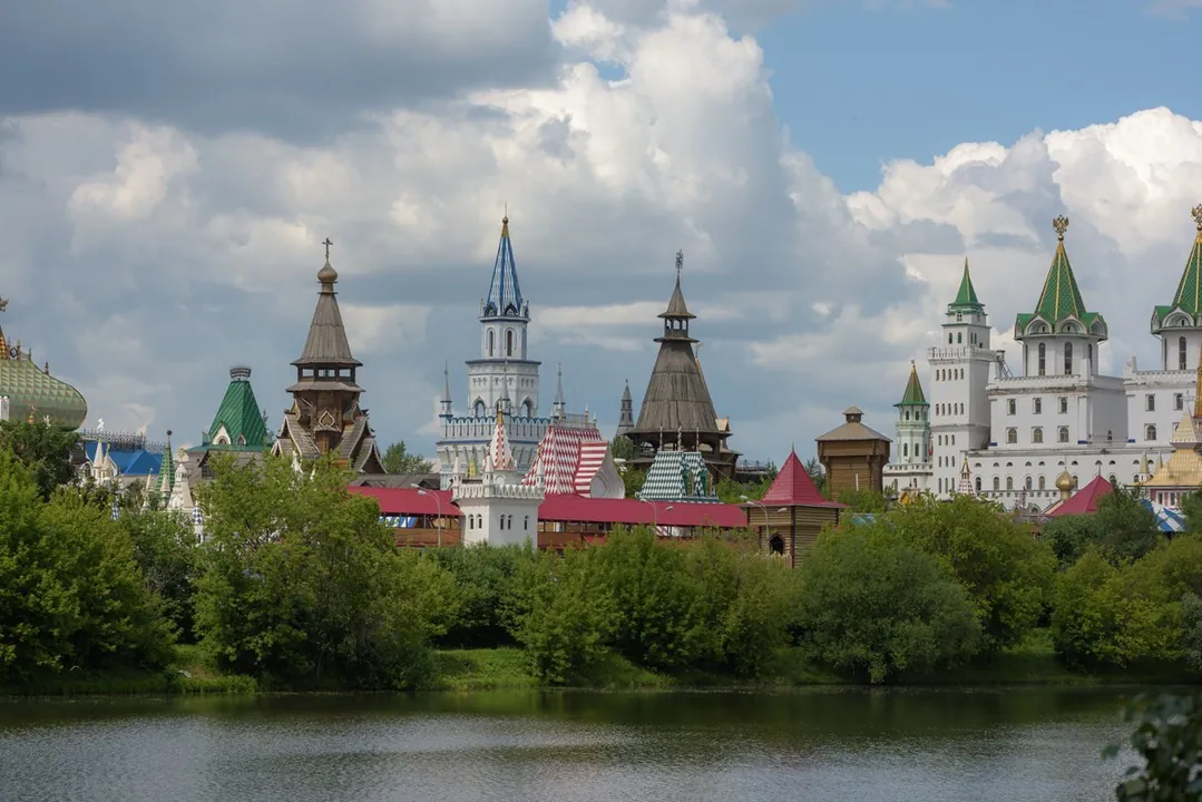
Notable places along the way include Moscow Kremlin, VDNKh, and Trinity Lavra of St Sergius. Old streets, historic buildi…
Материалы
FAQ
Смотрите дистанцию и набор высоты. Для спокойного выезда начинайте с коротких маршрутов, а сложные варианты оставляйте для подготовленной группы.
Проверяйте сезонность. Зимой часть маршрутов может требовать лыж, снегоступов или другой подготовки, а после дождей грунт меняется.
Открывайте карту и GPX. Карточки TrailTrack помогают заранее оценить трек, точки, покрытие и логистику.
Похожие страницы