Road to the Lavra: Walking Route from the Kremlin to Sergiev Posad
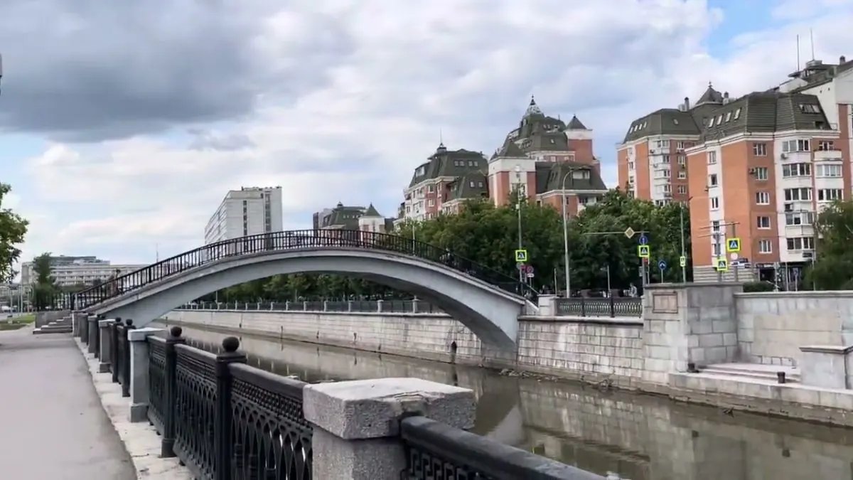
A practical route for discovering Moscow and the north-east of Moscow Region: about 155.6 km, recognisable landmarks and a landscape that changes gradually along the way.
Verified routes with descriptions, difficulty, surface details and trip planning.
A practical route for discovering Moscow and the north-east of Moscow Region: about 155.6 km, recognisable landmarks and a landscape that changes gradually along the way.
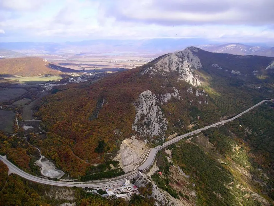
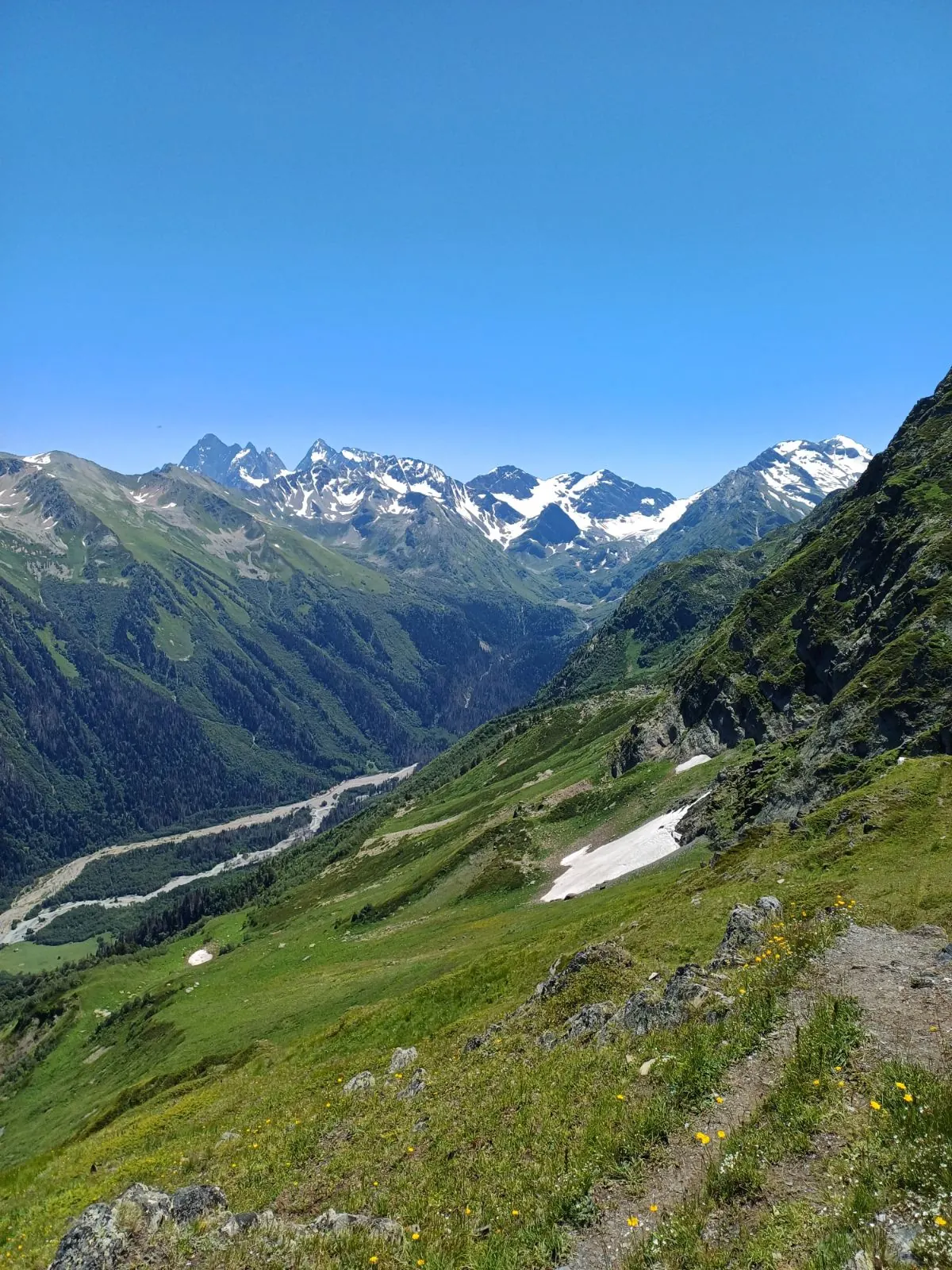
A practical route for discovering the Crimean Mountains: about 10.2 km, recognisable landmarks and a landscape that changes gradually along the way.
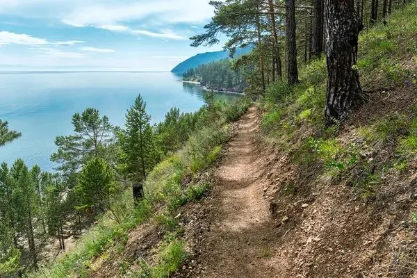
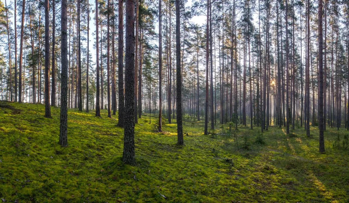
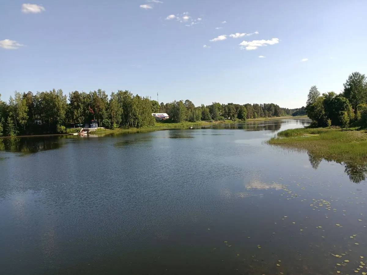
A long day route of about 38 km through Lake Ladoga and the north-east of Leningrad Region, with the main interest in pine forest, sandy paths, stone piers and open lake shore.
This is a linear route of about 7.7 km in the Crimean Mountains, suitable for travellers who want a clear route plan rather than a random walk.
A full day walk of about 8 km through Lake Ladoga and the north-east of Leningrad Region, with the main interest in pine forest, sandy paths, stone piers and open lake shore.
A scenic route in Moscow and the north-east of Moscow Region where access, distance and terrain can be planned in advance without losing the feeling of a real walk.
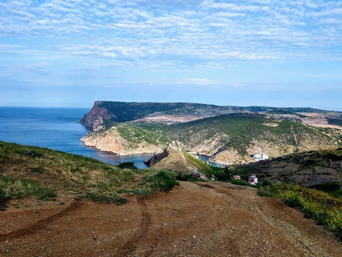
A full day walk of about 17 km through the Crimean Mountains, with the main interest in forest roads, stones, yayla paths and open slopes.
A scenic route in Toksovo and the northern suburbs of Saint Petersburg where access, distance and terrain can be planned in advance without losing the feeling of a real walk.
A scenic route in Leningrad Region where access, distance and terrain can be planned in advance without losing the feeling of a real walk.
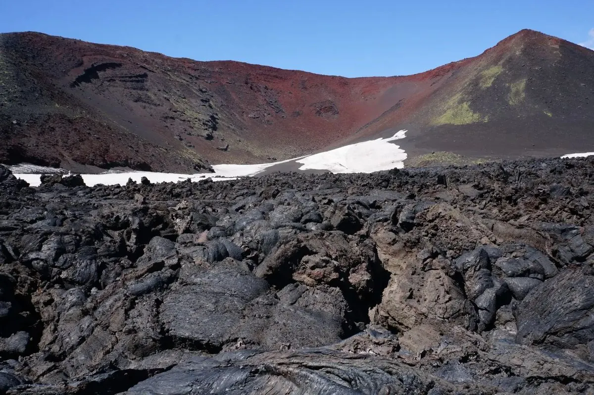
A full day walk of about 8.3 km through Kamchatka, with the main interest in volcanic ash, open fields and remote stony ground.
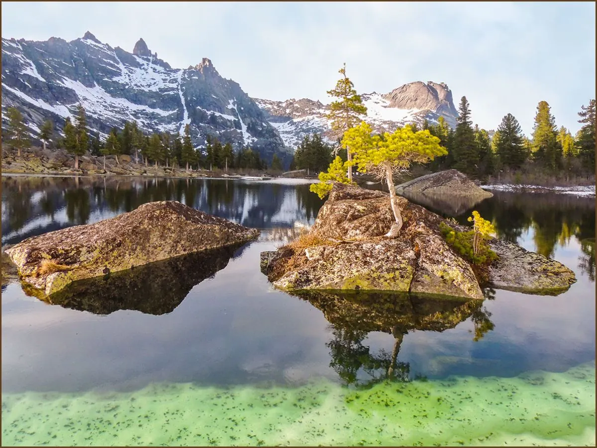
A full day walk of about 8.7 km through Ergaki Nature Park, with the main interest in taiga, lakes, kurumnik and granite peaks.
This is a linear route of about 48.1 km in Ergaki Nature Park, suitable for travellers who want a clear route plan rather than a random walk.
A scenic route in Toksovo and the northern suburbs of Saint Petersburg where access, distance and terrain can be planned in advance without losing the feeling of a real walk.
A practical route for discovering Leningrad Region: about 10.9 km, recognisable landmarks and a landscape that changes gradually along the way.
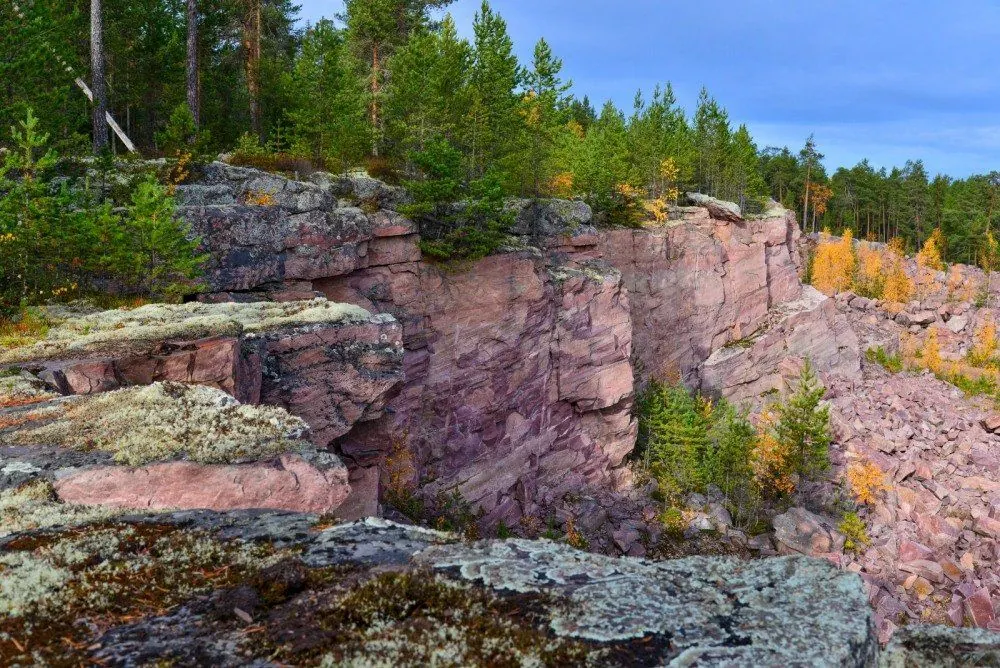
A scenic route in Karelia and the Onega area where access, distance and terrain can be planned in advance without losing the feeling of a real walk.
This is a linear route of about 7.7 km in Ergaki Nature Park, suitable for travellers who want a clear route plan rather than a random walk.
A short outing of about 3.4 km through Toksovo and the northern suburbs of Saint Petersburg, with the main interest in forest paths, lakes, estate roads and suburban stations.
A practical route for discovering the Southern Urals: about 21.6 km, recognisable landmarks and a landscape that changes gradually along the way.
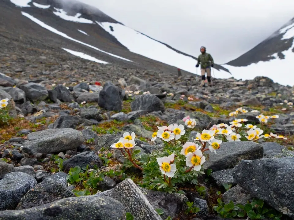
A full day walk of about 9.1 km through Swedish Lapland, with the main interest in tundra paths, stones, streams and open valleys.
This is a loop route of about 364.9 km in the pilgrimage routes of Spain and Portugal, suitable for travellers who want a clear route plan rather than a random walk.
This is a linear route of about 7.2 km in the Carpathians, suitable for travellers who want a clear route plan rather than a random walk.
A scenic route in Swedish Lapland where access, distance and terrain can be planned in advance without losing the feeling of a real walk.
A practical route for discovering Leningrad Region: about 17.3 km, recognisable landmarks and a landscape that changes gradually along the way.
A practical route for discovering Swedish Lapland: about 7.3 km, recognisable landmarks and a landscape that changes gradually along the way.