TrailTrack routes

Маршруты с подготовленным описанием, сложностью, покрытием и планированием визита.

Найдено 58 routes
Choose a route from the list or view routes on the map.
TrailTrack

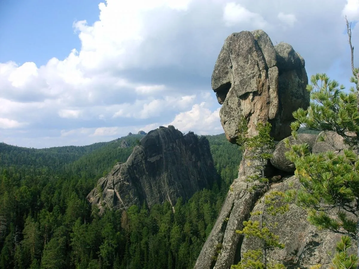
Yellow Trail (Kashtak Trail): Rocky Trail above Krasnoyarsk

Hiking · One-day

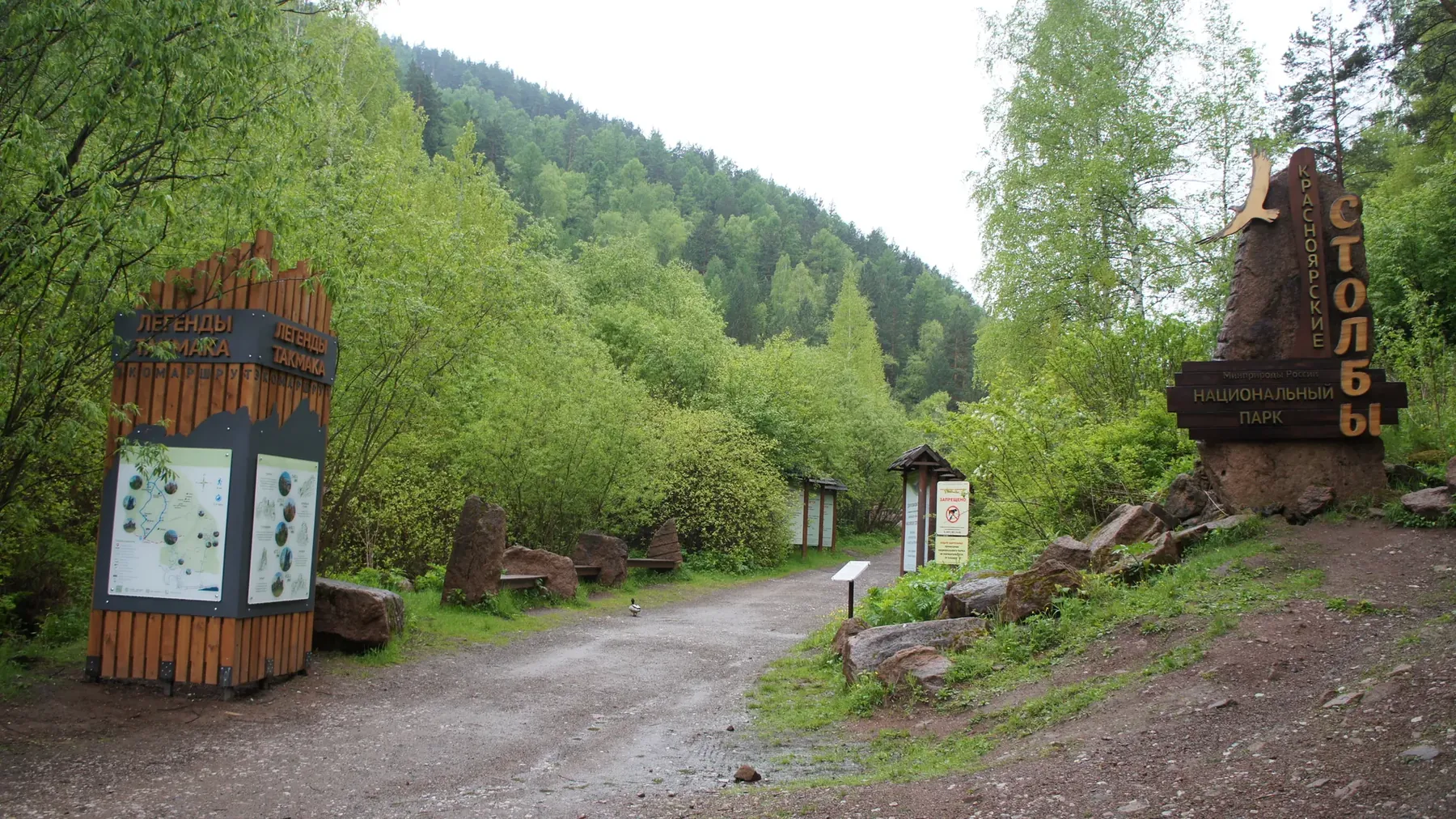
Among the main landmarks are Krasnoyarsk Stolby National Park, Takmak, and Chinese Wall. Woodland and valley sections gradually give way to mountain meadows, rocky slopes and open views.

16.5 km 190 +1032 m Moderate
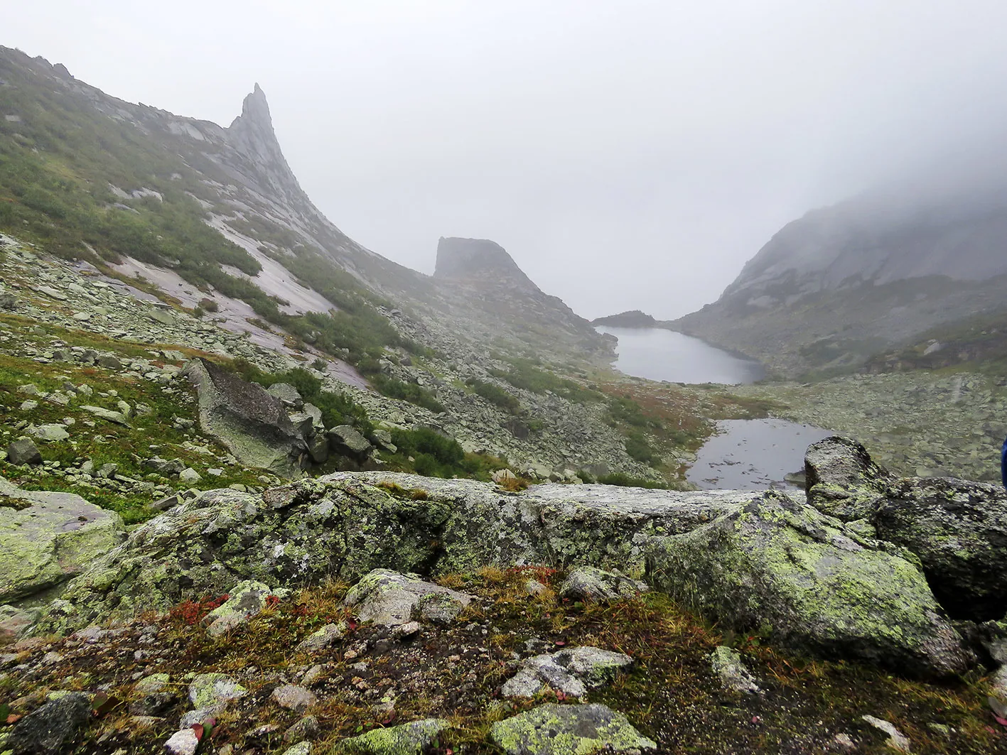
Ergaki: lake Karovoe, lake Khudozhnikov i lake Svetloe
TrailTrack

Ergaki: lake Karovoe, lake Khudozhnikov i lake Svetloe

Ergaki: lake Karovoe · Hiking · Multi-day

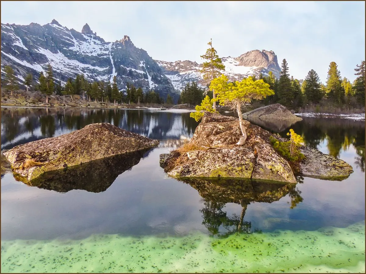
Key places on the way include Ergaki, Lake Karovoye, and Lake of the Artists. Woodland and valley sections gradually give way to mountain meadows, rocky slopes and open views.

48.1 km 172 +6077 m Moderate
Lake Svetloye, Jerboa Waterfall, Marble Lake, West Cadets’ Pass and Artists’ Lake
TrailTrack

Lake Svetloye, Jerboa Waterfall, Marble Lake, West Cadets’ Pass and Artists’ Lake

Lake Svetloye · Hiking · One-day

The point-to-point hiking route “Lake Svetloye, Jerboa Waterfall, Marble Lake, West Cadets’ Pass and Artists’ Lake” is approximately 7.4 km long. The main objective is the waterfall or cascade named in the route title; conditions beside the water depend on season and rainfall. The start and finish are in different places, so return travel must be planned in advance. The line comes from an OpenStreetMap route relation and is not evidence of a recent field check. Compare the GPX with a current map, forecast and local access rules before setting out.

8.7 km 170 +780 m Moderate
Lake Zolotarnoye via Zelyony and Pikantny Passes
TrailTrack

Lake Zolotarnoye via Zelyony and Pikantny Passes

Hiking · One-day

The point-to-point hiking route “Lake Zolotarnoye via Zelyony and Pikantny Passes” is approximately 3.1 km long. The route combines mountain terrain with lake sections; exposed ground can be affected by wind, fog and rapid weather changes. The start and finish are in different places, so return travel must be planned in advance. The line comes from an OpenStreetMap route relation and is not evidence of a recent field check. Compare the GPX with a current map, forecast and local access rules before setting out.

7.7 km 162 +969 m Moderate
Kordon Tushkanchik-lake Svetloe: Route to the Stone Peaks of Ergaki
TrailTrack

Kordon Tushkanchik-lake Svetloe: Route to the Stone Peaks of Ergaki

Hiking · One-day

Among the main landmarks are Jerboa Ranger Station – Lake Svetloye, Ergaki Nature Park, and Lake Svetloye. Woodland and valley sections gradually give way to mountain meadows, rocky slopes and open views.

12.9 km 158 +583 m Moderate
Lake Svetloye to Pikantny Pass
TrailTrack

Lake Svetloye to Pikantny Pass

Hiking · One-day

The point-to-point hiking route “Lake Svetloye to Pikantny Pass” is approximately 4.7 km long. The route combines mountain terrain with lake sections; exposed ground can be affected by wind, fog and rapid weather changes. The start and finish are in different places, so return travel must be planned in advance. The line comes from an OpenStreetMap route relation and is not evidence of a recent field check. Compare the GPX with a current map, forecast and local access rules before setting out.

4.9 km 152 +558 m Moderate
Purple Trail to Manskaya Baba: Rocky Trail above Krasnoyarsk
TrailTrack

Purple Trail to Manskaya Baba: Rocky Trail above Krasnoyarsk

Hiking · One-day

Notable places along the way include Krasnoyarsk Stolby National Park, Takmak, and Chinese Wall. Woodland and valley sections gradually give way to mountain meadows, rocky slopes and open views.

5.2 km 145 +349 m Moderate
Lake Svetloye to Lake Medvezhye
TrailTrack

Lake Svetloye to Lake Medvezhye

Hiking · One-day

The point-to-point hiking route “Lake Svetloye to Lake Medvezhye” is approximately 0.7 km long. The route provides a ready-made line for exploring the area and the places named in the title. The start and finish are in different places, so return travel must be planned in advance. The line comes from an OpenStreetMap route relation and is not evidence of a recent field check. Compare the GPX with a current map, forecast and local access rules before setting out.

0.7 km 141 +39 m Moderate
Route na sever khrebta Ergaki: Route to the Stone Peaks of Ergaki
TrailTrack

Route na sever khrebta Ergaki: Route to the Stone Peaks of Ergaki

Hiking · One-day

Key places on the way include Ergaki Nature Park, Lake Svetloye, and Lake of the Artists. Woodland and valley sections gradually give way to mountain meadows, rocky slopes and open views.

13.5 km 137 +1764 m Moderate
TrailTrack

Orange Route to the Chinese Wall

Hiking · One-day

The point-to-point hiking route “Orange Route to the Chinese Wall” is approximately 4.2 km long. The route provides a ready-made line for exploring the area and the places named in the title. The start and finish are in different places, so return travel must be planned in advance. The line comes from an OpenStreetMap route relation and is not evidence of a recent field check. Compare the GPX with a current map, forecast and local access rules before setting out.

4.5 km 130 +407 m Moderate
Visitor Centre to Tushkanchik Pass
TrailTrack

Visitor Centre to Tushkanchik Pass

Hiking · One-day

The point-to-point hiking route “Visitor Centre to Tushkanchik Pass” is approximately 4.1 km long. The route crosses mountain or strongly broken terrain, so distance alone does not represent the full physical or technical effort. The start and finish are in different places, so return travel must be planned in advance. The line comes from an OpenStreetMap route relation and is not evidence of a recent field check. Compare the GPX with a current map, forecast and local access rules before setting out.

4.1 km 127 +362 m Moderate
Route 4 ozera Raduzhnoe-Lazurnoe-Khudozhnikov-Karovoe
TrailTrack

Route 4 ozera Raduzhnoe-Lazurnoe-Khudozhnikov-Karovoe

Hiking · One-day

Key places on the way include Ergaki Nature Park, Lake Svetloye, and Lake of the Artists. Woodland and valley sections gradually give way to mountain meadows, rocky slopes and open views.

14.3 km 122 +2149 m Moderate
TrailTrack

Blue Trail (Central Pillars): Forest Hike to the Rock Pillars and Viewpoints

Hiking · One-day

Notable places along the way include Krasnoyarsk Stolby National Park, Takmak, and Chinese Wall. Woodland and valley sections gradually give way to mountain meadows, rocky slopes and open views.

3.9 km 97 +308 m Moderate
TrailTrack

Red Route to Maly Berkut and Takmak

Hiking · One-day

The point-to-point hiking route “Red Route to Maly Berkut and Takmak” is approximately 6.4 km long. The route provides a ready-made line for exploring the area and the places named in the title. The start and finish are in different places, so return travel must be planned in advance. The line comes from an OpenStreetMap route relation and is not evidence of a recent field check. Compare the GPX with a current map, forecast and local access rules before setting out.

6.4 km 94 +599 m Moderate
Dragon’s Tooth from Warm Lake
TrailTrack

Dragon’s Tooth from Warm Lake

Hiking · One-day

The point-to-point hiking route “Dragon’s Tooth from Warm Lake” is approximately 1.8 km long. The route provides a ready-made line for exploring the area and the places named in the title. The start and finish are in different places, so return travel must be planned in advance. The line comes from an OpenStreetMap route relation and is not evidence of a recent field check. Compare the GPX with a current map, forecast and local access rules before setting out.

2.3 km 93 +485 m Moderate
Light Blue Route around Takmak
TrailTrack

Light Blue Route around Takmak

Hiking · One-day

The point-to-point hiking route “Light Blue Route around Takmak” is approximately 4.4 km long. The route provides a ready-made line for exploring the area and the places named in the title. The start and finish are in different places, so return travel must be planned in advance. The line comes from an OpenStreetMap route relation and is not evidence of a recent field check. Compare the GPX with a current map, forecast and local access rules before setting out.

5.5 km 91 +524 m Moderate
TrailTrack

Тропа на Висячий Камень- перевал Тушканчик- озеро Светлое

Hiking · One-day

This Ergaki hiking route leads to Hanging Rock, then crosses Jerboa Pass and continues to Lake Svetloye.

21.7 km 64 +1287 m Hard
TrailTrack

Озеро Горных Духов-Цветные Озера-пик Зуб Дракона

Hiking · One-day

One-day hiking with clear details and difficulty hard.

10.6 km 60 +2855 m Hard
TrailTrack

Hanging Stone, Jerboa Pass and Lake Svetloye

Hanging Stone · Hiking · One-day

The multi-section hiking route “Hanging Stone, Jerboa Pass and Lake Svetloye” is approximately 12.8 km long. The route combines mountain terrain with lake sections; exposed ground can be affected by wind, fog and rapid weather changes. The file contains several lines or stages; select the intended sequence before departure. The line comes from an OpenStreetMap route relation and is not evidence of a recent field check. Compare the GPX with a current map, forecast and local access rules before setting out.

12.8 km 12 +0 m Moderate
TrailTrack

Karst Trail

Hiking · One-day

The loop hiking route “Karst Trail” is approximately 8.6 km long. The route provides a ready-made line for exploring the area and the places named in the title. It returns to the starting point. The line comes from an OpenStreetMap route relation and is not evidence of a recent field check. Compare the GPX with a current map, forecast and local access rules before setting out.

8.6 km 6 +0 m Easy
TrailTrack

Waterfall at the Foot of the Borus Ridge

Остановка "Сосновый бор" · Hiking · One-day

The point-to-point hiking route “Waterfall at the Foot of the Borus Ridge” is approximately 8.7 km long, with about 710 m of ascent from the GPX. The main objective is the waterfall or cascade named in the route title; conditions beside the water depend on season and rainfall. The start and finish are in different places, so return travel must be planned in advance. The track is based on a published trail description; surface conditions and access should be checked before departure. Compare the GPX with a current map, forecast and local access rules before setting out.

8.7 km 4 +751 m Hard
TrailTrack

Yellow Route: Kashtak Trail

Hiking · One-day

The point-to-point hiking route “Yellow Route: Kashtak Trail” is approximately 6.0 km long. The route provides a ready-made line for exploring the area and the places named in the title. The start and finish are in different places, so return travel must be planned in advance. The line comes from an OpenStreetMap route relation and is not evidence of a recent field check. Compare the GPX with a current map, forecast and local access rules before setting out.

6.0 km 4 +0 m Easy
TrailTrack

Blue Route: Central Pillars

Hiking · One-day

The point-to-point hiking route “Blue Route: Central Pillars” is approximately 2.9 km long. The route provides a ready-made line for exploring the area and the places named in the title. The start and finish are in different places, so return travel must be planned in advance. The line comes from an OpenStreetMap route relation and is not evidence of a recent field check. Compare the GPX with a current map, forecast and local access rules before setting out.

2.9 km 4 +0 m Easy
TrailTrack

Purple Route to Manskaya Baba

Hiking · One-day

The multi-section hiking route “Purple Route to Manskaya Baba” is approximately 3.6 km long. The route provides a ready-made line for exploring the area and the places named in the title. The file contains several lines or stages; select the intended sequence before departure. The line comes from an OpenStreetMap route relation and is not evidence of a recent field check. Compare the GPX with a current map, forecast and local access rules before setting out.

3.6 km 4 +0 m Easy
Page 1 of 3 Next
Home Map Routes Regions Profile