✓ TrailTrack
Boz Taptyr
Hiking
·
One-day
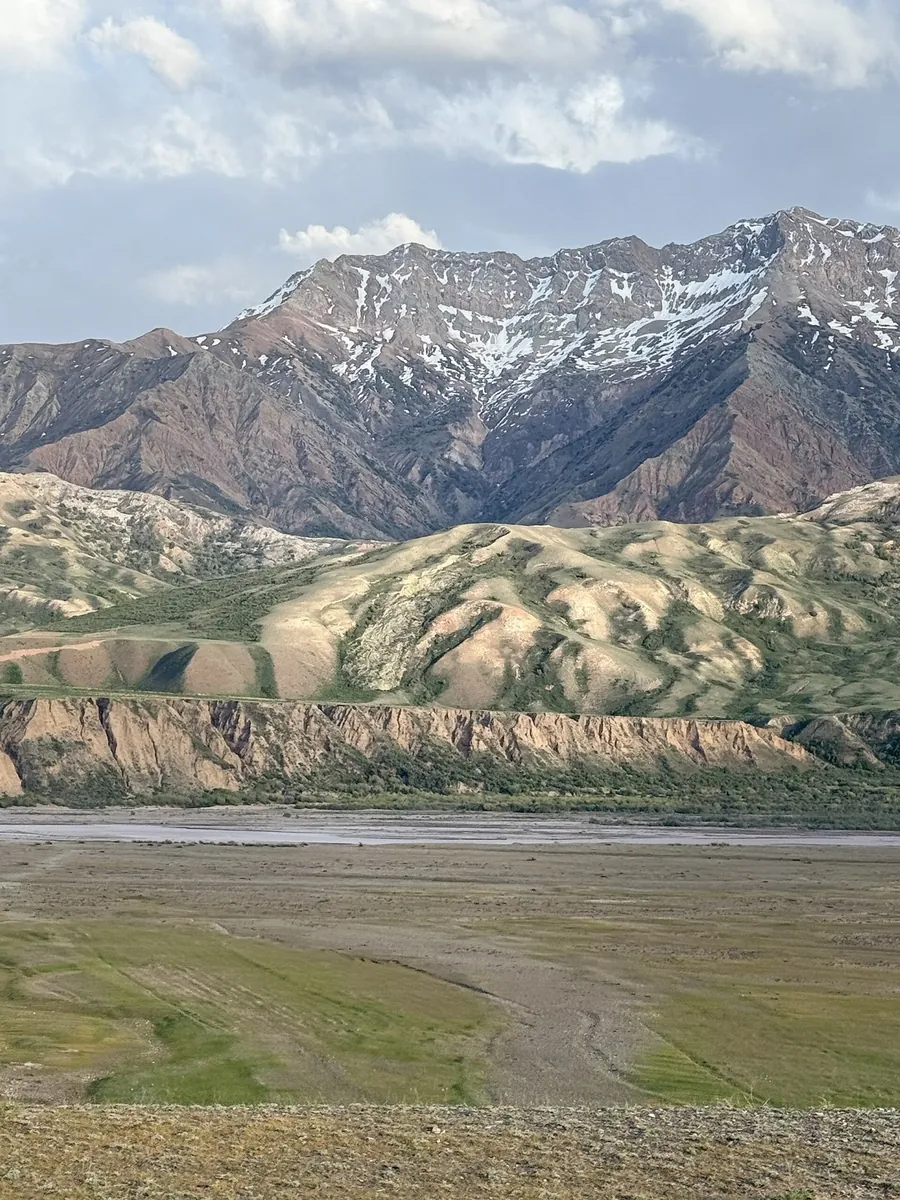
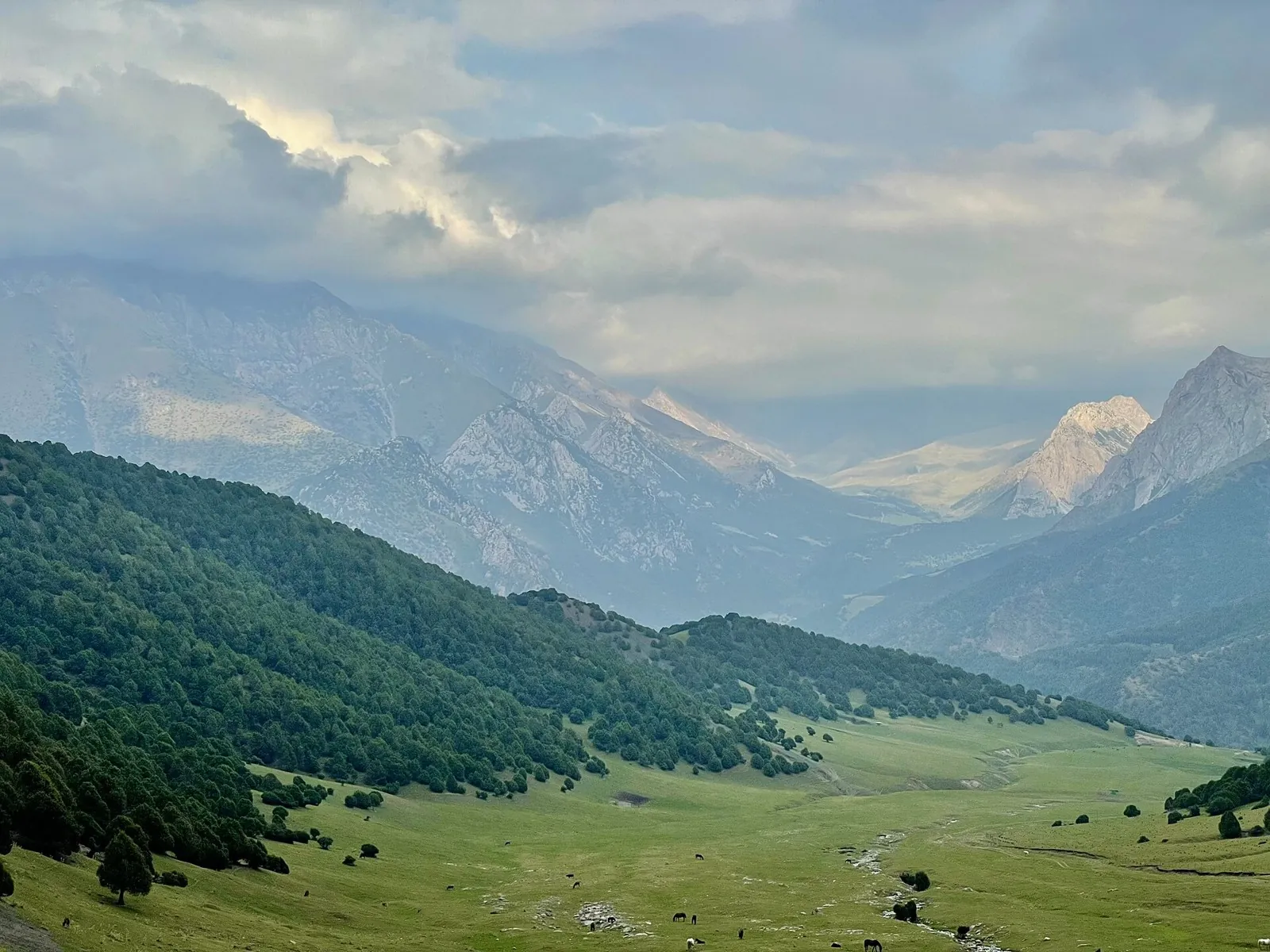
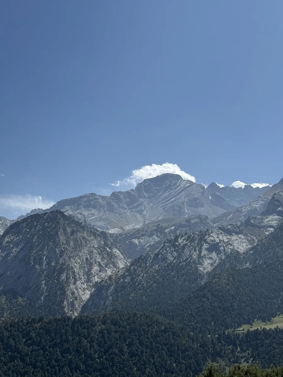
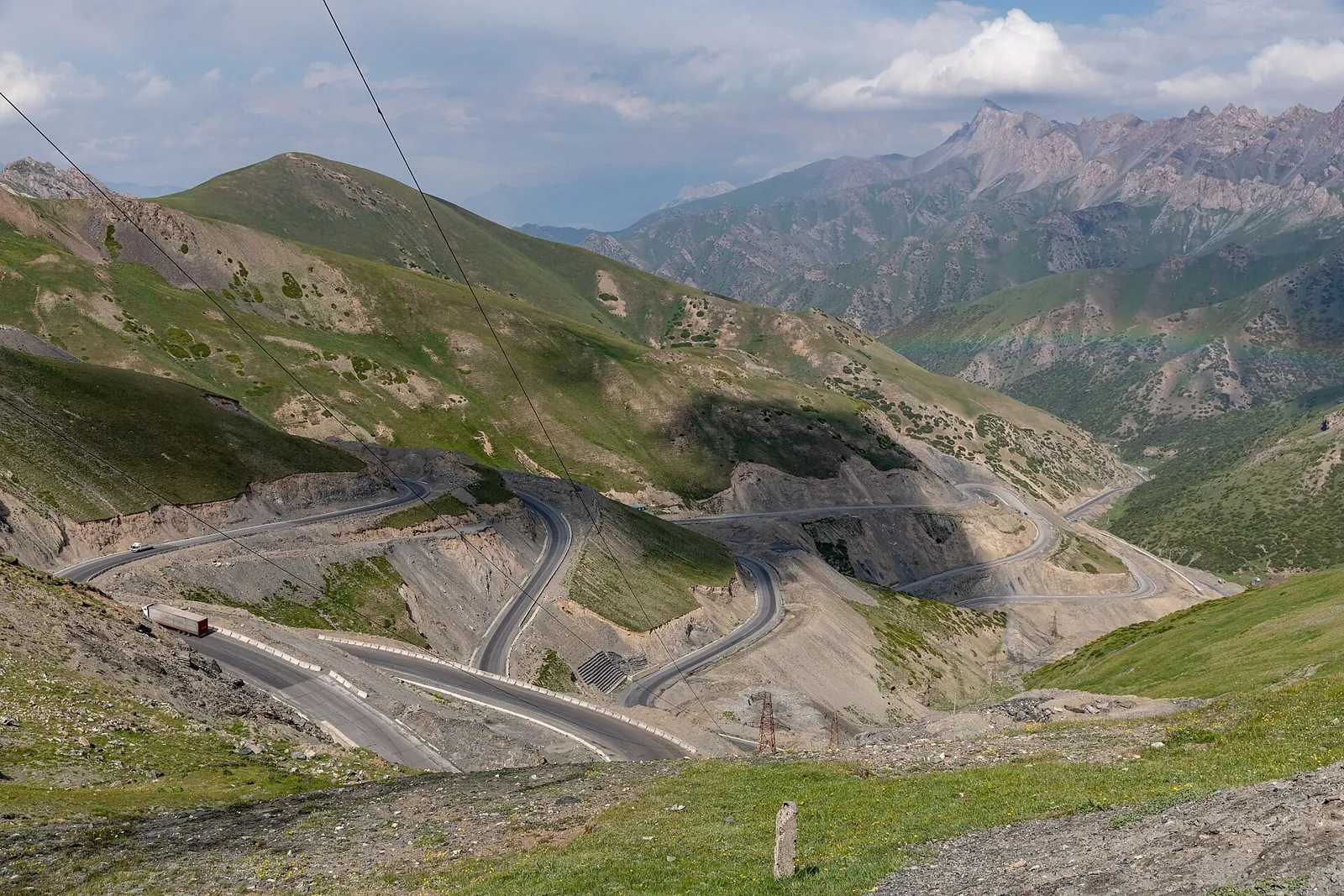
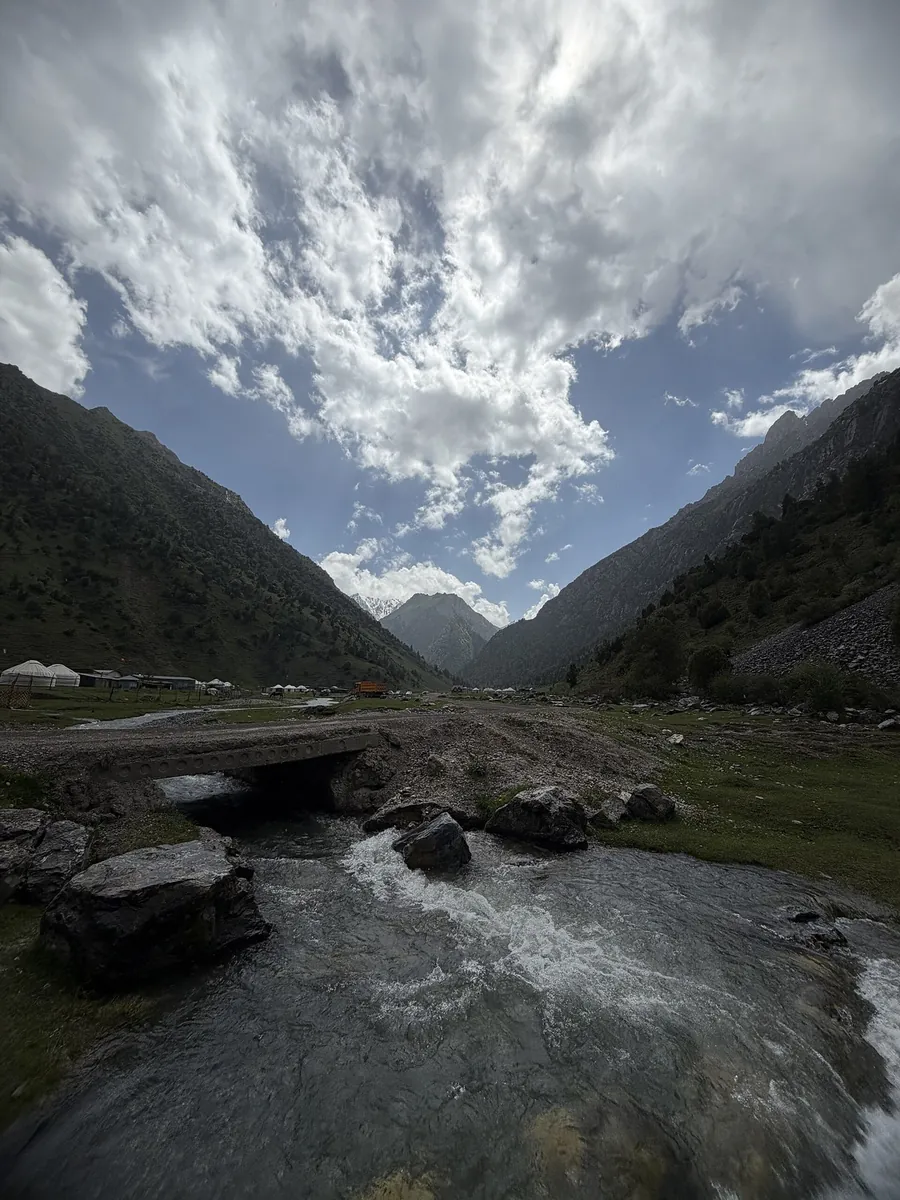
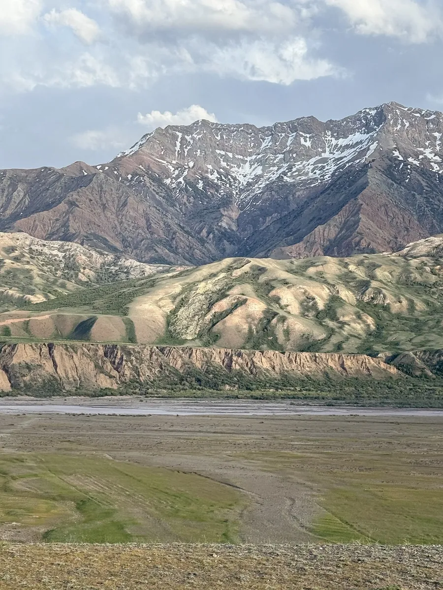
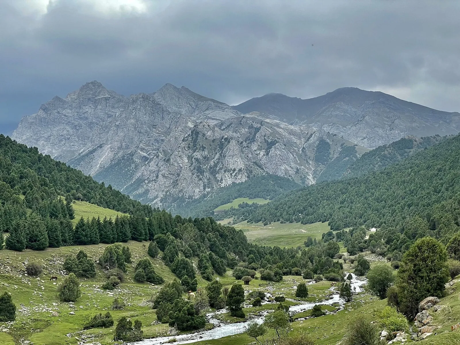
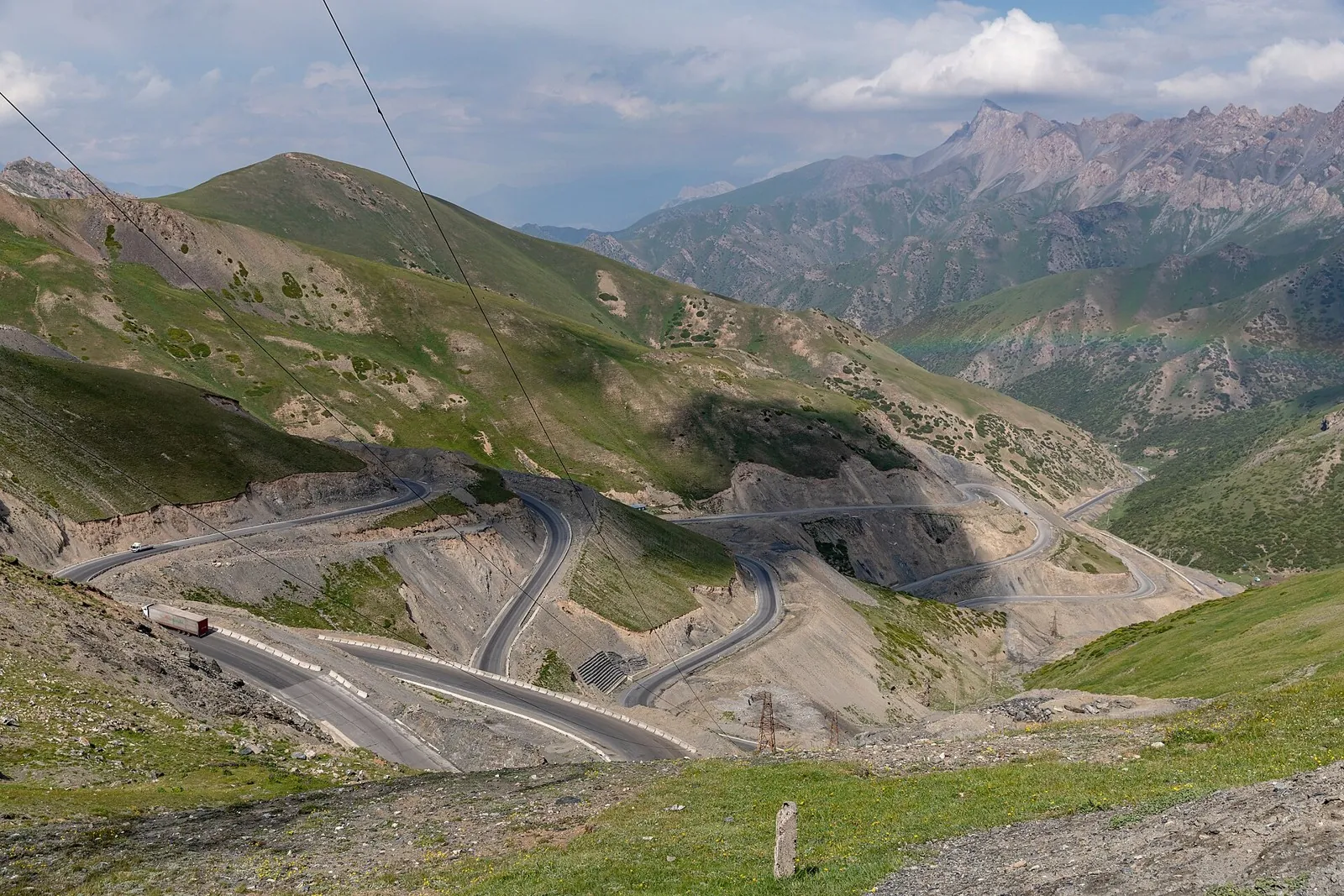
Expect roughly 6.9 km of high-mountain travel. The format is point-to-point, and Jiptik is the starting reference. Use Jiptik as the starting reference and Jiptik as the finishing reference; plan the return in advance. Features worth noticing include Boztaptir Pass (mountain pass, 3320 m, directly beside the route); West Boztapir Pass (mountain pass, 3151 m, about 1.9 km away); Kyzyl-Bulak (spring, directly beside the route). The route itself has no recorded elevations, but nearby named features rise to about 3320 m. This matters for weather and acclimatisation. Original material: OpenStreetMap — https://www.openstreetmap.org/relation/19851286.
6.9 km
3
+599 m
Easy