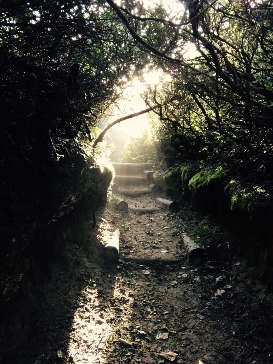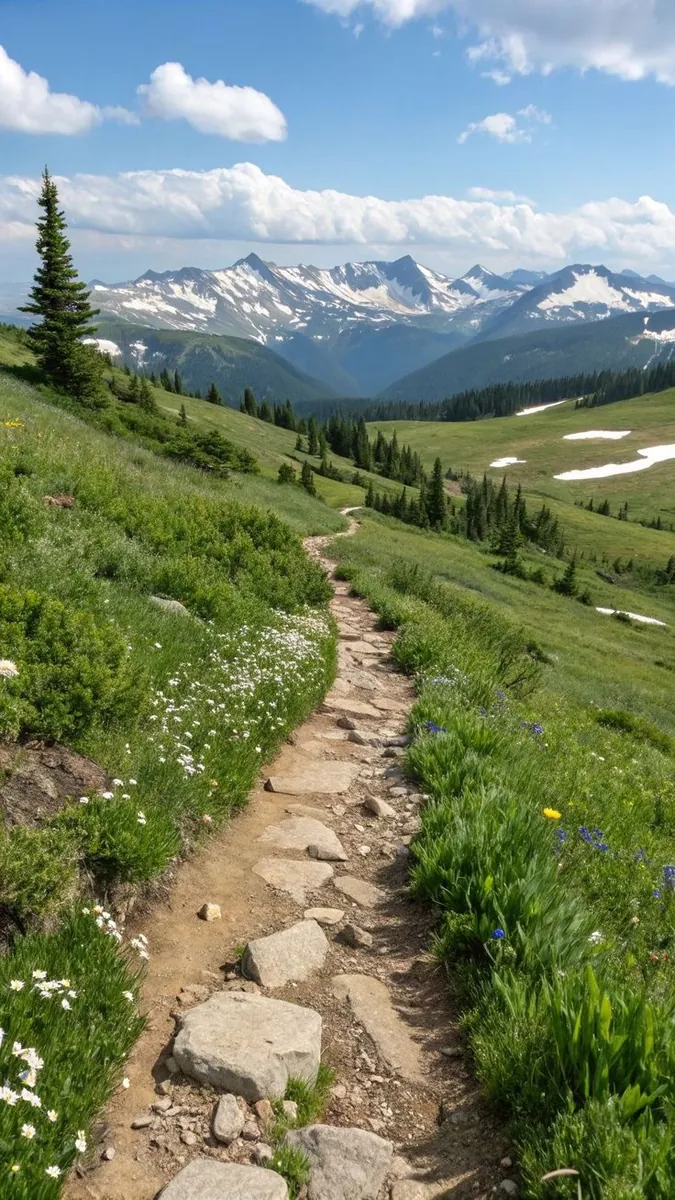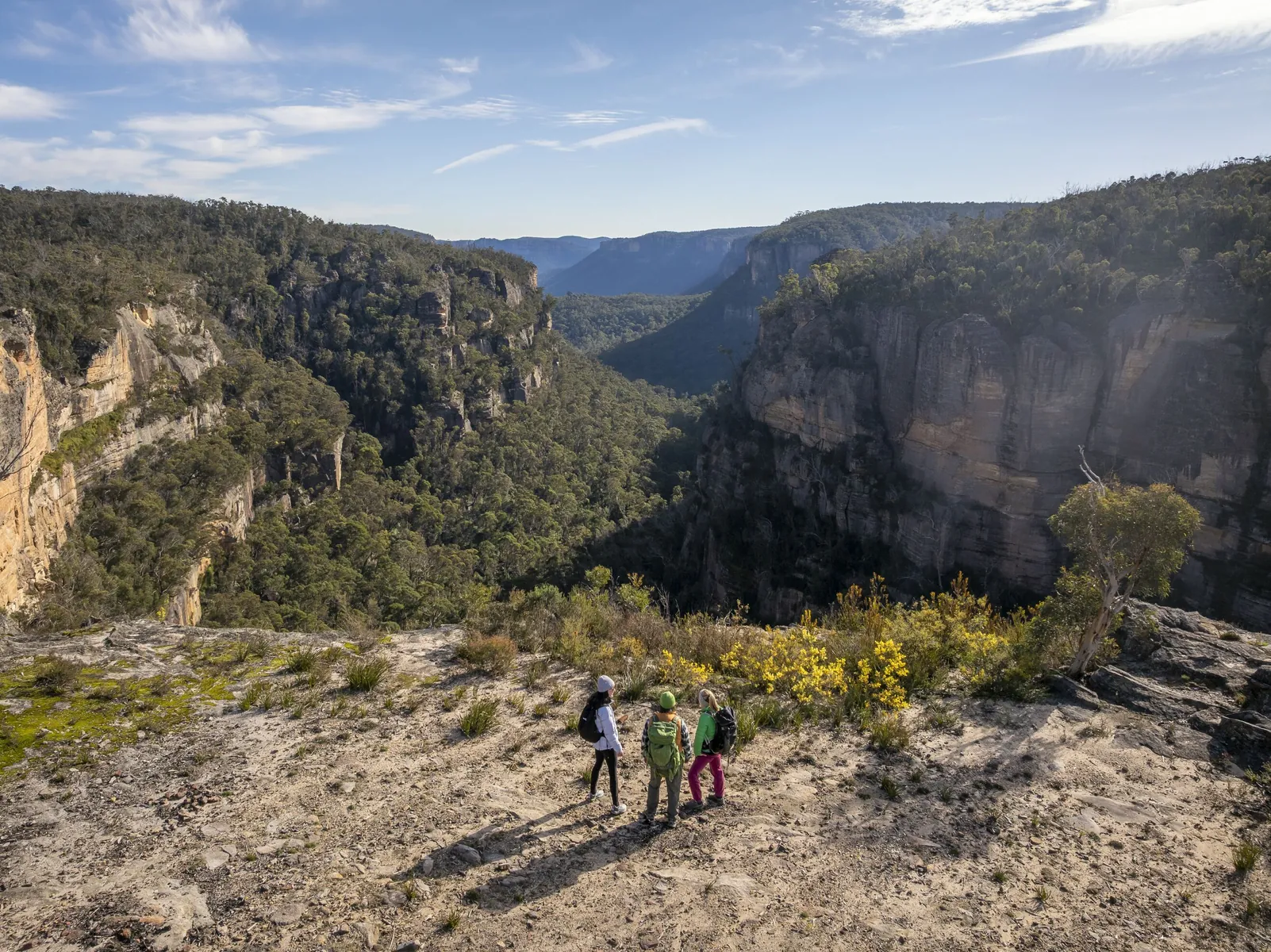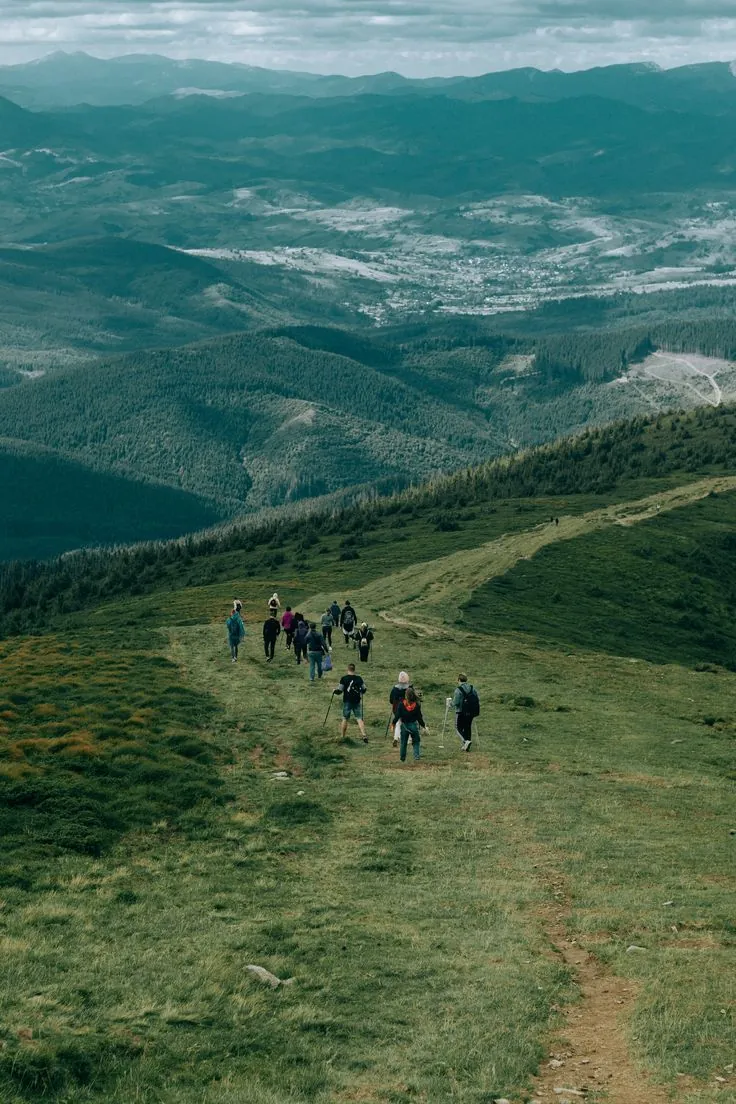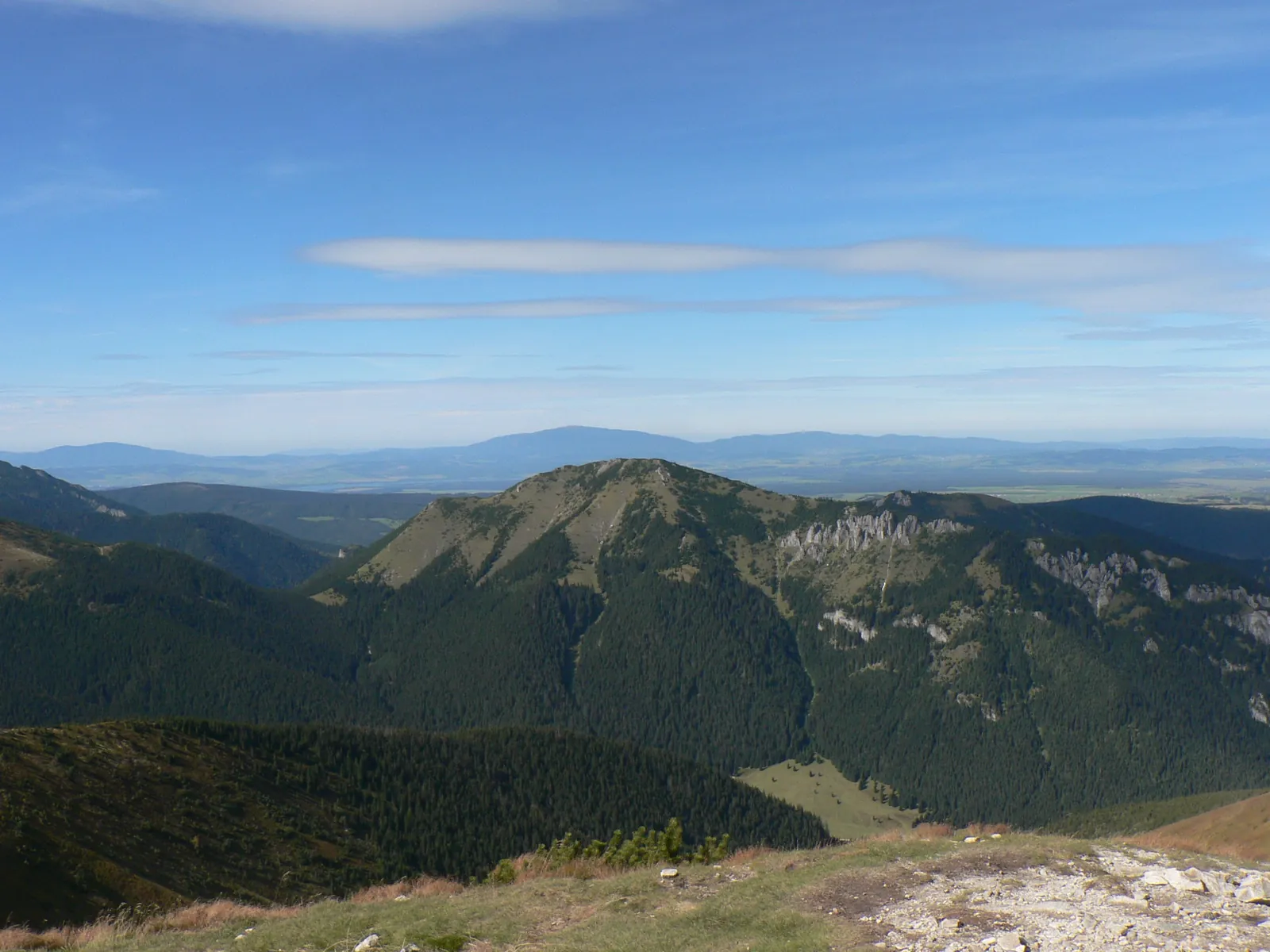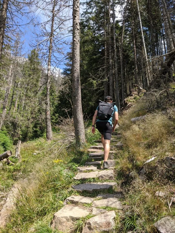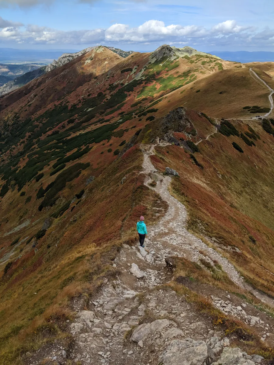
Trail above Zakopane: Przysłop Miętusi - Przełęcz w Grzybowcu
A practical route for discovering the Polish Tatras: about 2 km, recognisable landmarks and a landscape that changes gradually along the way.
Verified routes with descriptions, difficulty, surface details and trip planning.
A practical route for discovering the Polish Tatras: about 2 km, recognisable landmarks and a landscape that changes gradually along the way.
A scenic route in the Polish Tatras where access, distance and terrain can be planned in advance without losing the feeling of a real walk.
A short outing of about 1.9 km through the Polish Tatras, with the main interest in stone paths, valleys, lakes and hut approaches.
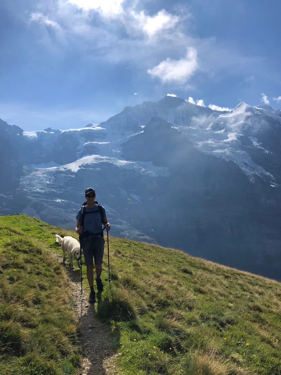
A scenic route in Zermatt and the Valais valleys where access, distance and terrain can be planned in advance without losing the feeling of a real walk.
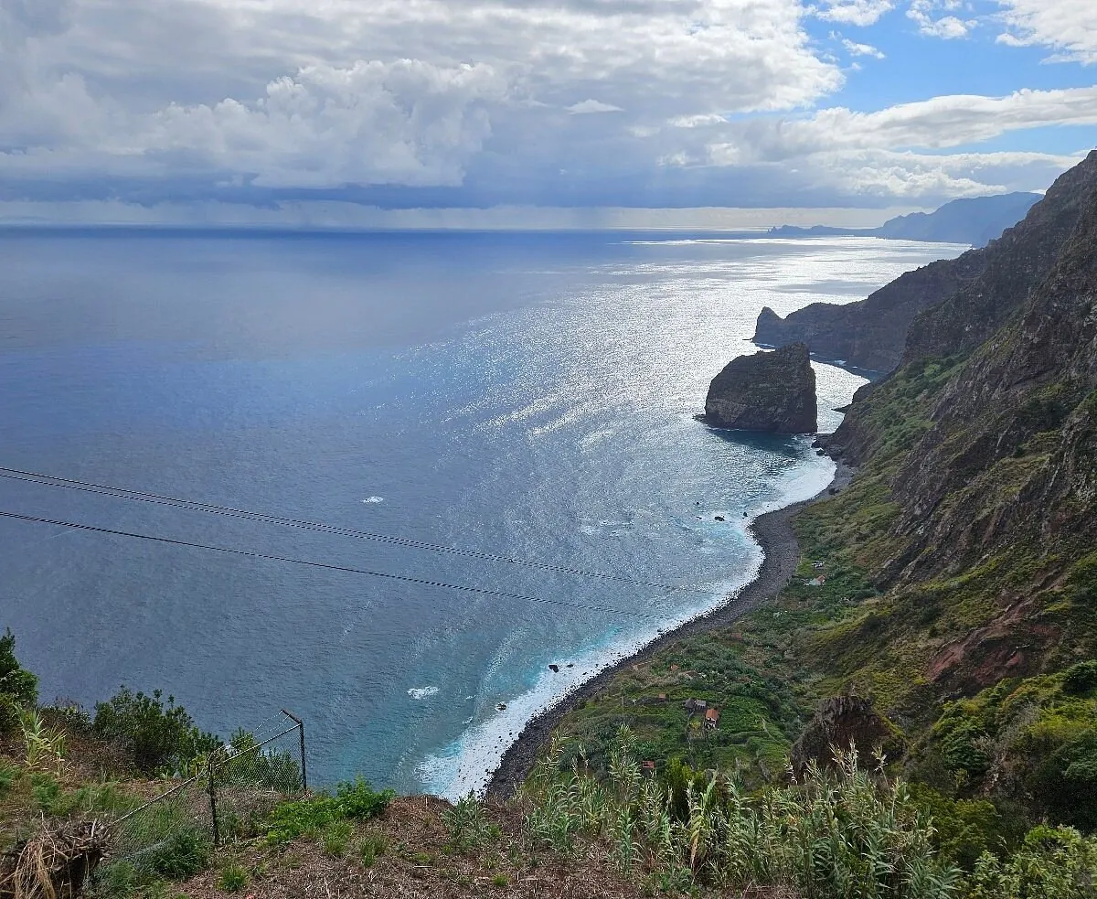
This is a linear route of about 21.4 km in Madeira, suitable for travellers who want a clear route plan rather than a random walk.
A short outing of about 1.5 km through Madeira, with the main interest in levadas, veredas, humid forest, steps and coastal slopes.
A full day walk of about 16.5 km through Krasnoyarsk Stolby National Park, with the main interest in forest climbs, rock pillars and viewpoints above Krasnoyarsk.
A practical route for discovering Krasnoyarsk Stolby National Park: about 5.5 km, recognisable landmarks and a landscape that changes gradually along the way.
This is a linear route of about 5.2 km in Krasnoyarsk Stolby National Park, suitable for travellers who want a clear route plan rather than a random walk.
A short outing of about 4.5 km through Krasnoyarsk Stolby National Park, with the main interest in forest climbs, rock pillars and viewpoints above Krasnoyarsk.
A practical route for discovering Swedish Lapland: about 14.3 km, recognisable landmarks and a landscape that changes gradually along the way.
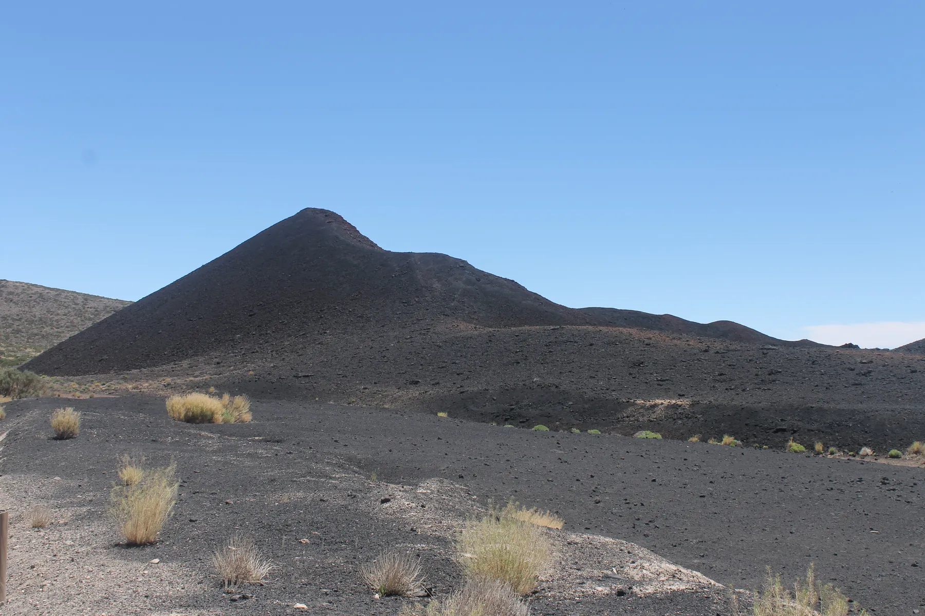
A full day walk of about 7.1 km through Tenerife and Teide National Park, with the main interest in lava ground, pine sections and open volcanic slopes.
A practical route for discovering Tyrol and the Innsbruck area: about 13.7 km, recognisable landmarks and a landscape that changes gradually along the way.
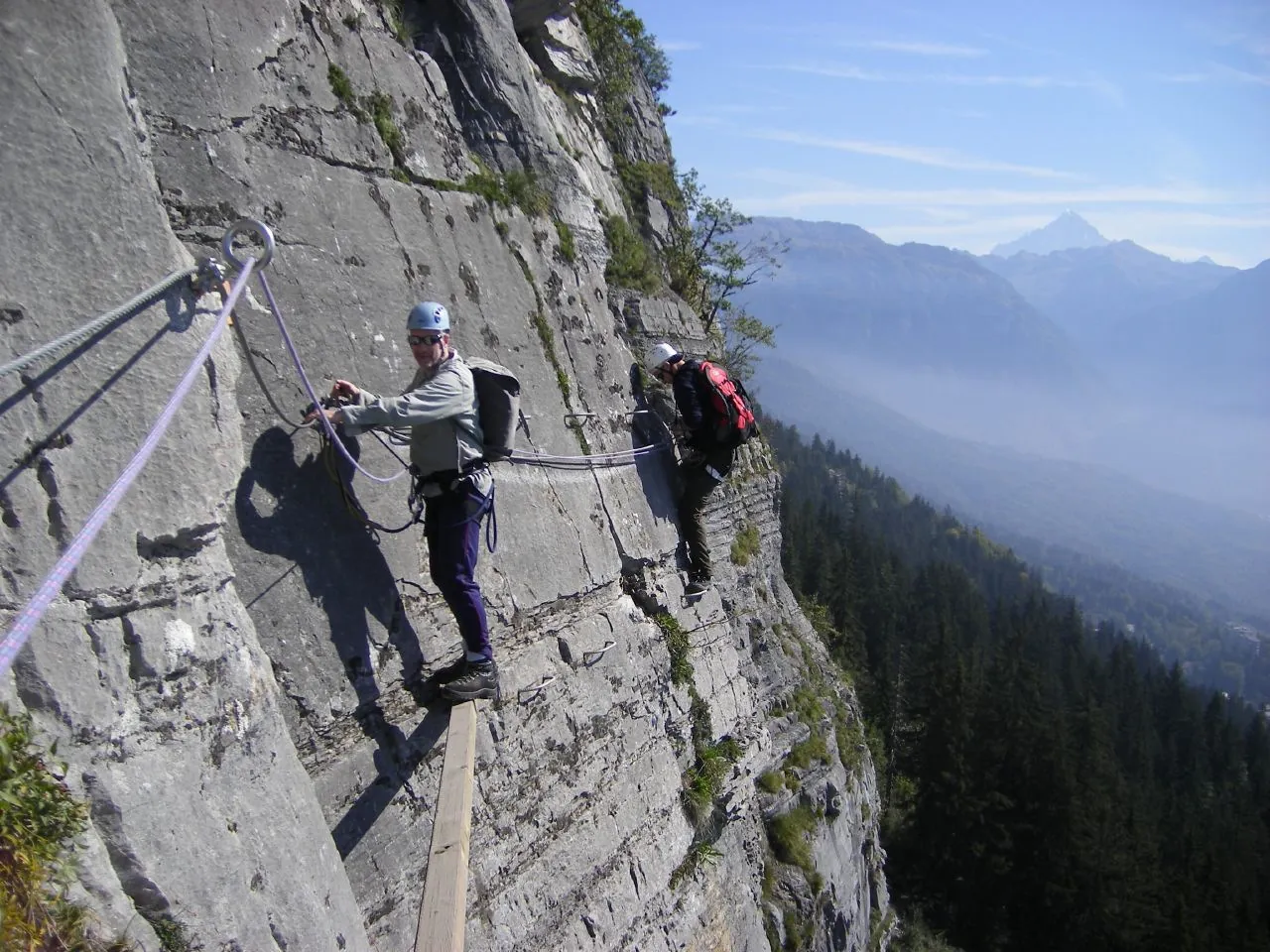
A short outing of about 3.9 km through Tyrol and the Innsbruck area, with the main interest in forest climbs, alpine meadows and sections near cable cars.
A practical route for discovering Tyrol and the Innsbruck area: about 4 km, recognisable landmarks and a landscape that changes gradually along the way.
A practical route for discovering Tyrol and the Innsbruck area: about 13.1 km, recognisable landmarks and a landscape that changes gradually along the way.
A scenic route in Tyrol and the Innsbruck area where access, distance and terrain can be planned in advance without losing the feeling of a real walk.
A scenic route in Norwegian mountains and fjord valleys where access, distance and terrain can be planned in advance without losing the feeling of a real walk.
A scenic route in Krasnaya Polyana and Rosa Khutor where access, distance and terrain can be planned in advance without losing the feeling of a real walk.
A full day walk of about 17.4 km through Krasnaya Polyana and Rosa Khutor, with the main interest in forest trails, resort roads, waterfalls and alpine meadows.
A scenic route in Dombay where access, distance and terrain can be planned in advance without losing the feeling of a real walk.
A practical route for discovering Tusheti: about 71.6 km, recognisable landmarks and a landscape that changes gradually along the way.