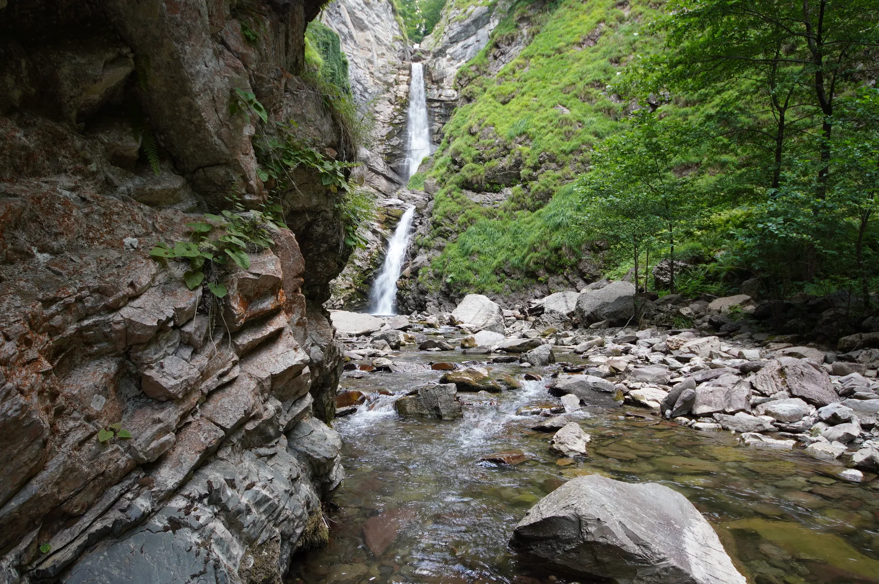
Waterfall Fermerskii: scenic route ot kurorta
Notable places along the way include Farmers' Waterfall, Krasnaya Polyana, and Aibga Ridge. Woodland and valley sections gradually give way to mountain meadows, rocky slopes and open views.
Маршруты с подготовленным описанием, сложностью, покрытием и планированием визита.
Notable places along the way include Farmers' Waterfall, Krasnaya Polyana, and Aibga Ridge. Woodland and valley sections gradually give way to mountain meadows, rocky slopes and open views.
Key places on the way include Cabana Bâlea Cascadă, Curmătura Bâlei, and L. Bâlea. Woodland and valley sections gradually give way to mountain meadows, rocky slopes and open views.
The main points along the way are Izv. Podu Giurgiului, Șaua Orzănele, and Făgăraș Mountains. Woodland and valley sections gradually give way to mountain meadows, rocky slopes and open views.
Key places on the way include Yalta Mountain Forest Nature Reserve, Ai-Petri, and Chatyr-Dag. Woodland and valley sections gradually give way to mountain meadows, rocky slopes and open views.
Key places on the way include Serra de Tramuntana. Woodland and local roads alternate with bays, beaches and open coastal views.
The main points along the way are Altai Mountains, Chuya Highway, and Altai mountain valleys. Woodland and valley sections gradually give way to mountain meadows, rocky slopes and open views.
Key places on the way include Victoria, Hârtopu Urșilor, and Portița Viștei. Woodland and valley sections gradually give way to mountain meadows, rocky slopes and open views.
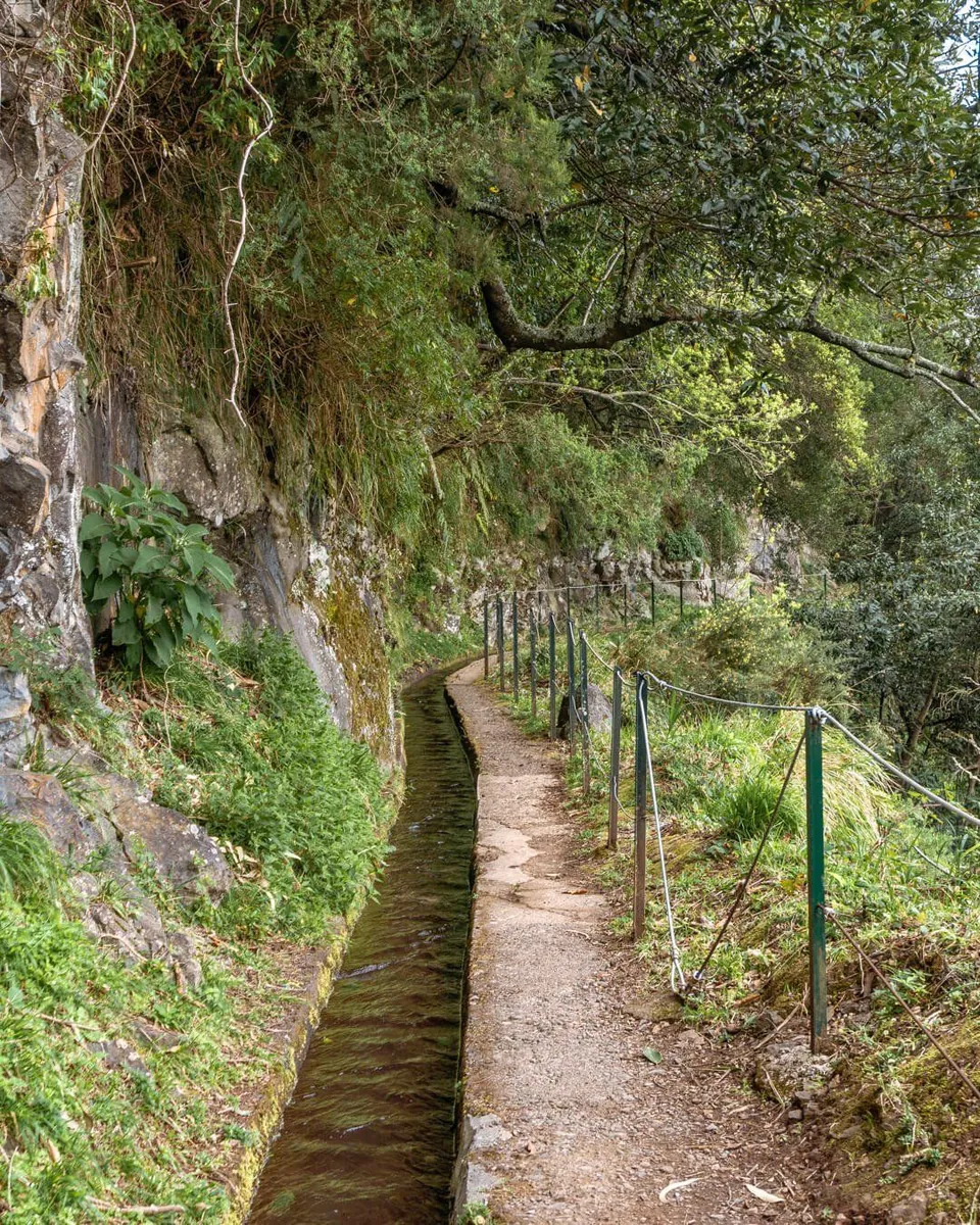
Notable places along the way include Levada da Rocha Vermelha and Madeira laurel forest. Woodland and valley sections gradually give way to mountain meadows, rocky slopes and open views.
The main points along the way are Unnamed Waterfall, Krasnaya Polyana, and Aibga Ridge. Woodland and valley sections gradually give way to mountain meadows, rocky slopes and open views.
Notable places along the way include Vf. Șerbota, Căldarea Pietroasă, and Șaua Cleopatra. Woodland and valley sections gradually give way to mountain meadows, rocky slopes and open views.
The main points along the way are Fosta Cabană Urlea, Vf. Urlea, and creasta principală. Woodland and valley sections gradually give way to mountain meadows, rocky slopes and open views.
One-day hiking with clear details and difficulty hard.
Key places on the way include Serra de Tramuntana and Ljuk. Woodland and valley sections gradually give way to mountain meadows, rocky slopes and open views.
Notable places along the way include Waterfall Pass, Mount Fisht, and Caucasus Biosphere Reserve. Woodland and valley sections gradually give way to mountain meadows, rocky slopes and open views.
The main points along the way are Madeira laurel forest. Woodland and valley sections gradually give way to mountain meadows, rocky slopes and open views.
One-day hiking with clear details and difficulty moderate.
One-day hiking with clear details and difficulty hard.
Notable places along the way include Son Cladera, Son Fuster, and Carril Bici. Natural areas, small settlements and local landmarks alternate along the way.
Hiking route: “Borovsk — Vereya”, with a calculated length of 49.9 km. The main geographic area is Moscow Oblast; Borovsk, a map reference 0.1 km in a straight line from the main line start. Geometry: multi-part. Approximately 31.3% of the length lies outside Moscow and Moscow Oblast; this is a cross-region version. The file contains 3 separate lines. The stated distance is their sum and may include branches, stages or alternatives rather than one continuous itinerary. The start and end coordinates below refer to the longest line. No artificial lines were drawn across gaps. The geometry comes from a publicly downloadable GPX and has been preserved in normalized GPX/KML files. The catalogue title was edited; no routing-engine path replaced the supplied points or lines. Source: RUTRAIL: https://rutrail.org/trails/16/ Original title: Боровск — Верея. No field inspection was carried out for this collection; see the source page for its own status and updates.
Cycling route: “Tayninskaya — Mytishchi Forest Park cycling loop”, with a calculated length of 35.3 km. The main geographic area is Moscow Oblast; Tayninka, a map reference 0.3 km in a straight line from the main line start. Geometry: loop. The recorded start and end lie close together, so the geometry forms a loop; current continuity and access have not been verified. The geometry comes from a publicly downloadable GPX and has been preserved in normalized GPX/KML files. The catalogue title was edited; no routing-engine path replaced the supplied points or lines. Source: mosregdata: https://mosregdata.ru/article/files-cycling-routes-mo Original title: GPX Download: Domik Babusi Kiosk, Lesopark – Mytishchi Forest Park loop from Тайнинская. No field inspection was carried out for this collection; see the source page for its own status and updates.
Walking route: “Health trail — Oktyabrskiy”, with a calculated length of 3.0 km. The main geographic area is Moscow Oblast; Oktyabrskiy, a map reference 0.7 km in a straight line from the main line start. Geometry: linear. The line has different start and end points. Plan a return connection or separate transport from the finish before travelling. The geometry was exported from an OpenStreetMap route relation, not from a personally recorded GPS activity. © OpenStreetMap contributors, ODbL: https://www.openstreetmap.org/copyright Source: OpenStreetMap: https://www.openstreetmap.org/relation/16559770 Original title: Тропа здоровья. No field inspection was carried out for this collection; see the source page for its own status and updates.
Cycling route: “Balashikha — cycling loop towards Shchyolkovo Embankment”, with a calculated length of 49.4 km. The main geographic area is Moscow Oblast; Balashikha, a map reference 1.3 km in a straight line from the main line start. Geometry: loop. The recorded start and end lie close together, so the geometry forms a loop; current continuity and access have not been verified. The geometry comes from a publicly downloadable GPX and has been preserved in normalized GPX/KML files. The catalogue title was edited; no routing-engine path replaced the supplied points or lines. Source: mosregdata: https://mosregdata.ru/article/files-cycling-routes-mo Original title: GPX Download: Wooden Bridge Over the River – New Embankment Shchyolkovo loop from Балашиха. No field inspection was carried out for this collection; see the source page for its own status and updates.
Running route: “Pionerskaya-Skolkovo”, with a calculated length of 14.3 km. The main geographic area is Moscow Oblast; VNIISSOK, a map reference 1.2 km in a straight line from the main line start. Geometry: linear. The line has different start and end points. Plan a return connection or separate transport from the finish before travelling. The geometry comes from a publicly downloadable GPX and has been preserved in normalized GPX/KML files. The catalogue title was edited; no routing-engine path replaced the supplied points or lines. Source: Треки от Afanas: https://gps.100km.ru/pio-skol/ Original title: Пионерская-Сколково. No field inspection was carried out for this collection; see the source page for its own status and updates.
Walking route: “Deer trail”, with a calculated length of 0.9 km. The main geographic area is Moscow Oblast; Druzhba, a map reference 2.4 km in a straight line from the main line start. Geometry: linear. The line has different start and end points. Plan a return connection or separate transport from the finish before travelling. The geometry was exported from an OpenStreetMap route relation, not from a personally recorded GPS activity. © OpenStreetMap contributors, ODbL: https://www.openstreetmap.org/copyright Source: OpenStreetMap: https://www.openstreetmap.org/relation/19451232 Original title: Оленья тропа. No field inspection was carried out for this collection; see the source page for its own status and updates.