TrailTrack routes

Маршруты с подготовленным описанием, сложностью, покрытием и планированием визита.

Found 26 routes
Choose a route from the list or view routes on the map.
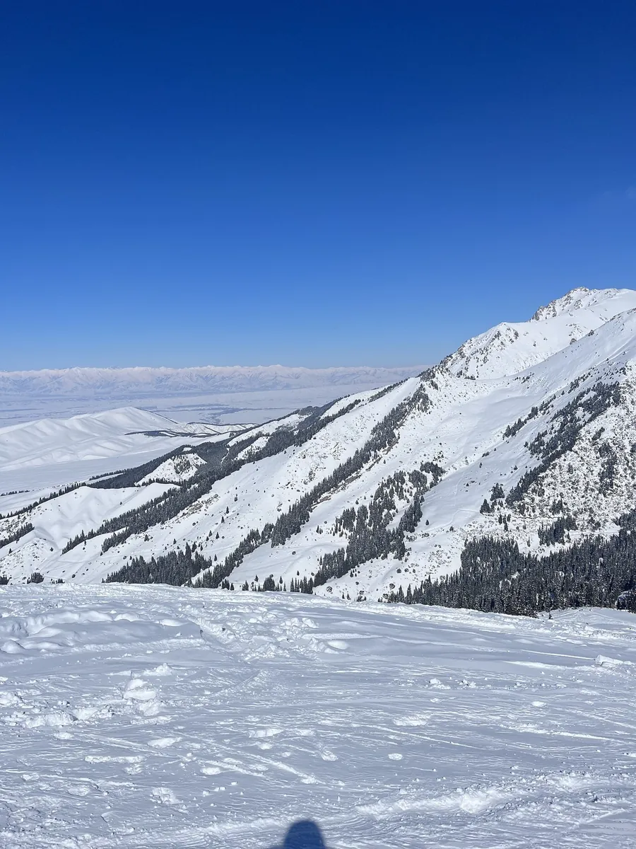
Karakol Gorge - Ala-Kul - Altyn Arashan - Ak-Suu village
✓ TrailTrack

Karakol Gorge - Ala-Kul - Altyn Arashan - Ak-Suu village

Karakol Gorge · Hiking · Multi-day

This is a multi-part hiking route of about 49.9 km. The clearest starting reference is Лесное. The route contains 5 separate parts; establish how they connect before travelling. Features worth noticing include Ala Kol Pass (mountain pass, 3920 m, directly beside the route); Ласточкино гнездо (hot spring, directly beside the route); Ala-Kul Guesthouse (mountain hut, directly beside the route); Царевна-лягушка (hot spring, directly beside the route); Sirota Hut (wilderness hut, directly beside the route). The route itself has no recorded elevations, but nearby named features rise to about 3920 m. This matters for weather and acclimatisation. Original material: OpenStreetMap — https://www.openstreetmap.org/relation/12350207.

50.0 km 1 +2260 m Hard
Kok-Jaiyk Waterfall
✓ TrailTrack

Kok-Jaiyk Waterfall

Hiking · One-day

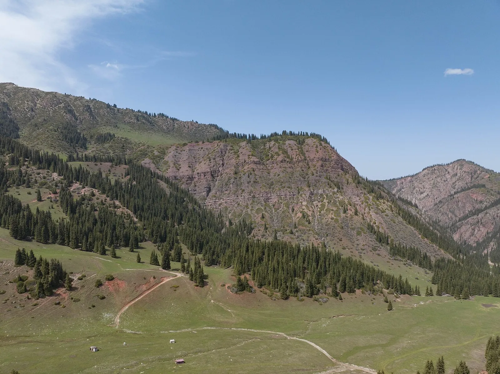
This loop route is about 2.5 km long. Use Jeti-Ögüz kurort to locate the starting area. The route returns to its starting area, so a separate finish transfer is usually unnecessary. Features worth noticing include Yurt camp (mountain hut, about 0.8 km away); Kosmonauts house (mountain hut, about 1.0 km away); Yurt Camp Kochevnik (camp site, about 0.9 km away). There is no reliable elevation profile, so climbs and descents should be checked on a detailed map. Original material: KG Nomad — https://kgnomad.com/treks/kok-jaiyk-waterfall/. It states: published distance: 2.5 km; published duration: 1-1.5 hours; author difficulty: Easy.

2.5 km 1 +427 m Easy
Back Page 2 of 2