TrailTrack routes

Маршруты с подготовленным описанием, сложностью, покрытием и планированием визита.

Найдено 190 routes
Choose a route from the list or view routes on the map.
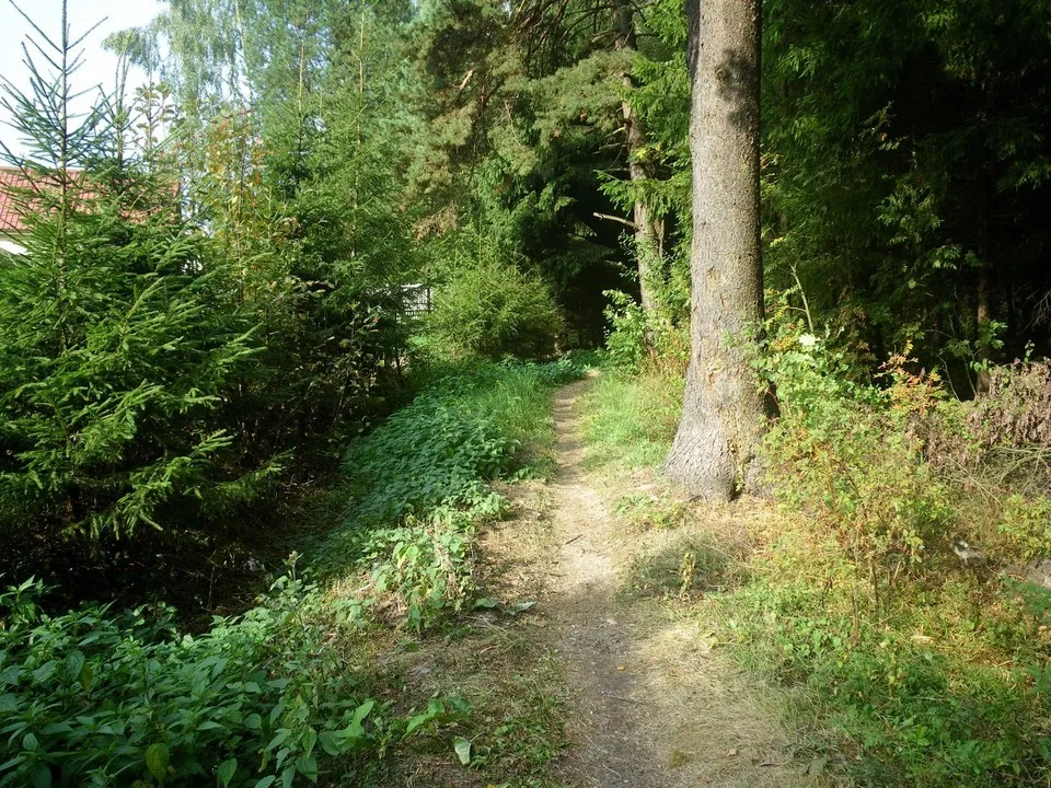
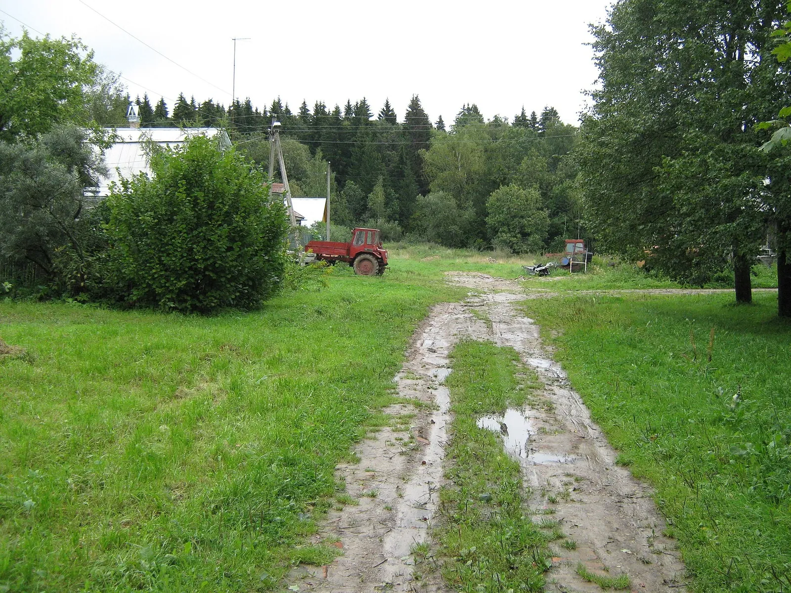
Running route near Obruchevskiy — 2.2 km
TrailTrack

Running route near Obruchevskiy — 2.2 km

Moscow region · Run · One-day

The loop running route “Running route near Obruchevskiy — 2.2 km” is approximately 2.2 km long. The track is useful for planning a long run or trail session, but it does not guarantee permanent marking or unrestricted access. It returns to the starting point. The line comes from an OpenStreetMap route relation and is not evidence of a recent field check. Compare the GPX with a current map, forecast and local access rules before setting out.

2.2 km 6 +0 m Easy
Esino — Kuzyaevo
TrailTrack

Esino — Kuzyaevo

Moscow region · Run · One-day

The point-to-point running route “Esino — Kuzyaevo” is approximately 26.2 km long, with about 650 m of ascent from the GPX. The track is useful for planning a long run or trail session, but it does not guarantee permanent marking or unrestricted access. The start and finish are in different places, so return travel must be planned in advance. This is a sports or training track; permanent waymarking is not guaranteed. Compare the GPX with a current map, forecast and local access rules before setting out.

26.2 km 6 +1234 m Hard
Povarovka — Katuar
TrailTrack

Povarovka — Katuar

Moscow region · Run · One-day

The point-to-point running route “Povarovka — Katuar” is approximately 36.5 km long, with about 130 m of ascent from the GPX. The track is useful for planning a long run or trail session, but it does not guarantee permanent marking or unrestricted access. The start and finish are in different places, so return travel must be planned in advance. This is a sports or training track; permanent waymarking is not guaranteed. Compare the GPX with a current map, forecast and local access rules before setting out.

36.5 km 6 +323 m Hard
Polushkino — Chastsovskaya
TrailTrack

Polushkino — Chastsovskaya

Moscow region · Run · One-day

The point-to-point running route “Polushkino — Chastsovskaya” is approximately 28.7 km long, with about 150 m of ascent from the GPX. The track is useful for planning a long run or trail session, but it does not guarantee permanent marking or unrestricted access. The start and finish are in different places, so return travel must be planned in advance. This is a sports or training track; permanent waymarking is not guaranteed. Compare the GPX with a current map, forecast and local access rules before setting out.

28.7 km 6 +370 m Hard
TrailTrack

Povarovo — Istra

Moscow region · Run · One-day

The point-to-point running route “Povarovo — Istra” is approximately 35.9 km long, with about 350 m of ascent from the GPX. The track is useful for planning a long run or trail session, but it does not guarantee permanent marking or unrestricted access. The start and finish are in different places, so return travel must be planned in advance. This is a sports or training track; permanent waymarking is not guaranteed. Compare the GPX with a current map, forecast and local access rules before setting out.

35.9 km 6 +995 m Hard
Katuar — Iksha — Version 2
TrailTrack

Katuar — Iksha — Version 2

Moscow region · Run · One-day

The point-to-point running route “Katuar — Iksha — Version 2” is approximately 21.8 km long, with about 70 m of ascent from the GPX. The track is useful for planning a long run or trail session, but it does not guarantee permanent marking or unrestricted access. The start and finish are in different places, so return travel must be planned in advance. This is a sports or training track; permanent waymarking is not guaranteed. Compare the GPX with a current map, forecast and local access rules before setting out.

21.8 km 6 +210 m Moderate
Strogino — Perkhushkovo-31
TrailTrack

Strogino — Perkhushkovo-31

Moscow region · Run · One-day

The point-to-point running route “Strogino — Perkhushkovo-31” is approximately 29.8 km long, with about 510 m of ascent from the GPX. The track is useful for planning a long run or trail session, but it does not guarantee permanent marking or unrestricted access. The start and finish are in different places, so return travel must be planned in advance. This is a sports or training track; permanent waymarking is not guaranteed. Compare the GPX with a current map, forecast and local access rules before setting out.

29.8 km 6 +1124 m Hard
Pionerskaya — Skolkovo
TrailTrack

Pionerskaya — Skolkovo

Moscow region · Run · One-day

The point-to-point running route “Pionerskaya — Skolkovo” is approximately 14.3 km long, with about 130 m of ascent from the GPX. The track is useful for planning a long run or trail session, but it does not guarantee permanent marking or unrestricted access. The start and finish are in different places, so return travel must be planned in advance. This is a sports or training track; permanent waymarking is not guaranteed. Compare the GPX with a current map, forecast and local access rules before setting out.

14.3 km 6 +384 m Moderate
Sima — Belozyorovo
TrailTrack

Sima — Belozyorovo

Moscow region · Run · One-day

The loop running route “Sima — Belozyorovo” is approximately 32.7 km long, with about 550 m of ascent from the GPX. The track is useful for planning a long run or trail session, but it does not guarantee permanent marking or unrestricted access. It returns to the starting point. This is a sports or training track; permanent waymarking is not guaranteed. Compare the GPX with a current map, forecast and local access rules before setting out.

32.7 km 6 +1171 m Hard
Through the Krasnogorsk Forests to Generalskoye
TrailTrack

Through the Krasnogorsk Forests to Generalskoye

Moscow region · Run · One-day

The loop running route “Through the Krasnogorsk Forests to Generalskoye” is approximately 37.6 km long, with about 560 m of ascent from the GPX. The track is useful for planning a long run or trail session, but it does not guarantee permanent marking or unrestricted access. It returns to the starting point. This is a sports or training track; permanent waymarking is not guaranteed. Compare the GPX with a current map, forecast and local access rules before setting out.

37.6 km 6 +1324 m Hard
Birdwatching Trail
TrailTrack

Birdwatching Trail

Moscow region · Hiking · One-day

The point-to-point hiking route “Birdwatching Trail” is approximately 1.0 km long. The route provides a ready-made line for exploring the area and the places named in the title. The start and finish are in different places, so return travel must be planned in advance. The line comes from an OpenStreetMap route relation and is not evidence of a recent field check. Compare the GPX with a current map, forecast and local access rules before setting out.

1.0 km 5 +0 m Easy
First Microdistrict Nature Trail
TrailTrack

First Microdistrict Nature Trail

Moscow region · Hiking · One-day

The point-to-point hiking route “First Microdistrict Nature Trail” is approximately 1.5 km long. The route provides a ready-made line for exploring the area and the places named in the title. The start and finish are in different places, so return travel must be planned in advance. The line comes from an OpenStreetMap route relation and is not evidence of a recent field check. Compare the GPX with a current map, forecast and local access rules before setting out.

1.5 km 5 +0 m Easy
Morning Path
TrailTrack

Morning Path

Moscow region · Hiking · One-day

The loop hiking route “Morning Path” is approximately 2.3 km long. The route provides a ready-made line for exploring the area and the places named in the title. It returns to the starting point. The line comes from an OpenStreetMap route relation and is not evidence of a recent field check. Compare the GPX with a current map, forecast and local access rules before setting out.

2.3 km 5 +0 m Easy
Road to the Lavra
TrailTrack

Road to the Lavra

Moscow region · Hiking · Multi-day

The multi-section hiking route “Road to the Lavra” is approximately 126.7 km long. The route focuses on the historical, cultural or memorial site named in the title and provides a ready-made approach track. The file contains several lines or stages; select the intended sequence before departure. The line comes from an OpenStreetMap route relation and is not evidence of a recent field check. Compare the GPX with a current map, forecast and local access rules before setting out.

126.7 km 5 +0 m Hard
Walking route near Verbilki — 0.8 km
TrailTrack

Walking route near Verbilki — 0.8 km

Moscow region · Hiking · One-day

The loop hiking route “Walking route near Verbilki — 0.8 km” is approximately 0.8 km long. The route provides a ready-made line for exploring the area and the places named in the title. It returns to the starting point. The line comes from an OpenStreetMap route relation and is not evidence of a recent field check. Compare the GPX with a current map, forecast and local access rules before setting out.

0.8 km 5 +0 m Easy
Borovsk Road
TrailTrack

Borovsk Road

Moscow region · Hiking · One-day

The point-to-point hiking route “Borovsk Road” is approximately 15.2 km long, with about 60 m of ascent from the GPX. The route provides a ready-made line for exploring the area and the places named in the title. The start and finish are in different places, so return travel must be planned in advance. The track is based on a published trail description; surface conditions and access should be checked before departure. Compare the GPX with a current map, forecast and local access rules before setting out.

15.2 km 5 +115 m Moderate
Estates and Shrines: the Kalistovo Junction
TrailTrack

Estates and Shrines: the Kalistovo Junction

Moscow region · Hiking · Multi-day

The multi-section hiking route “Estates and Shrines: the Kalistovo Junction” is approximately 37.3 km long, with about 340 m of ascent from the GPX. The route focuses on the historical, cultural or memorial site named in the title and provides a ready-made approach track. The file contains several lines or stages; select the intended sequence before departure. The track is based on a published trail description; surface conditions and access should be checked before departure. Compare the GPX with a current map, forecast and local access rules before setting out.

37.3 km 5 +400 m Hard
Oka riverside dunes (Akri — Turovo)
TrailTrack

Oka riverside dunes (Akri — Turovo)

Moscow region · Hiking · One-day

The multi-section hiking route “Oka riverside dunes (Akri — Turovo)” is approximately 26.1 km long, with about 210 m of ascent from the GPX. The route provides a ready-made line for exploring the area and the places named in the title. The file contains several lines or stages; select the intended sequence before departure. The track is based on a published trail description; surface conditions and access should be checked before departure. Compare the GPX with a current map, forecast and local access rules before setting out.

26.1 km 5 +456 m Hard
Nerskaya River
TrailTrack

Nerskaya River

Moscow region · Hiking · One-day

The multi-section hiking route “Nerskaya River” is approximately 23.2 km long, with about 80 m of ascent from the GPX. The route provides a ready-made line for exploring the area and the places named in the title. The file contains several lines or stages; select the intended sequence before departure. The track is based on a published trail description; surface conditions and access should be checked before departure. Compare the GPX with a current map, forecast and local access rules before setting out.

23.2 km 5 +139 m Moderate
Ski route near Klimovsk — 3.4 km
TrailTrack

Ski route near Klimovsk — 3.4 km

Moscow region · Skiing · One-day

The loop cross-country ski route “Ski route near Klimovsk — 3.4 km” is approximately 3.4 km long. The line is intended for skiing once a stable snow cover has formed; the actual track may depend on the season and recent snowfall. It returns to the starting point. The line comes from an OpenStreetMap route relation and is not evidence of a recent field check. Compare the GPX with a current map, forecast and local access rules before setting out.

3.4 km 5 +0 m Easy
Ski route near Ostrovtsy — 3.0 km
TrailTrack

Ski route near Ostrovtsy — 3.0 km

Moscow region · Skiing · One-day

The loop cross-country ski route “Ski route near Ostrovtsy — 3.0 km” is approximately 3.0 km long. The line is intended for skiing once a stable snow cover has formed; the actual track may depend on the season and recent snowfall. It returns to the starting point. The line comes from an OpenStreetMap route relation and is not evidence of a recent field check. Compare the GPX with a current map, forecast and local access rules before setting out.

3.0 km 5 +0 m Easy
Alleya — Snegiri
TrailTrack

Alleya — Snegiri

Moscow region · Skiing · One-day

The point-to-point cross-country ski route “Alleya — Snegiri” is approximately 0.7 km long. The line is intended for skiing once a stable snow cover has formed; the actual track may depend on the season and recent snowfall. The start and finish are in different places, so return travel must be planned in advance. The line comes from an OpenStreetMap route relation and is not evidence of a recent field check. Compare the GPX with a current map, forecast and local access rules before setting out.

0.7 km 5 +0 m Easy
Morozki — Radonezh — Morozki(2017)
TrailTrack

Morozki — Radonezh — Morozki(2017)

Moscow region · Skiing · Multi-day

The loop cross-country ski route “Morozki — Radonezh — Morozki(2017)” is approximately 56.9 km long, with about 520 m of ascent from the GPX. The line is intended for skiing once a stable snow cover has formed; the actual track may depend on the season and recent snowfall. It returns to the starting point. This is a sports or training track; permanent waymarking is not guaranteed. Compare the GPX with a current map, forecast and local access rules before setting out.

56.9 km 5 +1168 m Hard
Radonezh Loop
TrailTrack

Radonezh Loop

Moscow region · Skiing · One-day

The loop cross-country ski route “Radonezh Loop” is approximately 31.4 km long, with about 450 m of ascent from the GPX. The line is intended for skiing once a stable snow cover has formed; the actual track may depend on the season and recent snowfall. It returns to the starting point. This is a sports or training track; permanent waymarking is not guaranteed. Compare the GPX with a current map, forecast and local access rules before setting out.

31.4 km 5 +1100 m Hard
Back Page 6 of 8 Next
Home Map Routes Regions Profile