North Tyrol Panorama Trail: Melkboden
A short outing of about 1.3 km through Tyrol and the Innsbruck area, with the main interest in forest climbs, alpine meadows and sections near cable cars.
Verified routes with descriptions, difficulty, surface details and trip planning.
A short outing of about 1.3 km through Tyrol and the Innsbruck area, with the main interest in forest climbs, alpine meadows and sections near cable cars.
A long stage or multi-day section of about 296.2 km through Norwegian mountains and fjord valleys, with the main interest in roads of varying quality, villages, climbs and mountain stops.
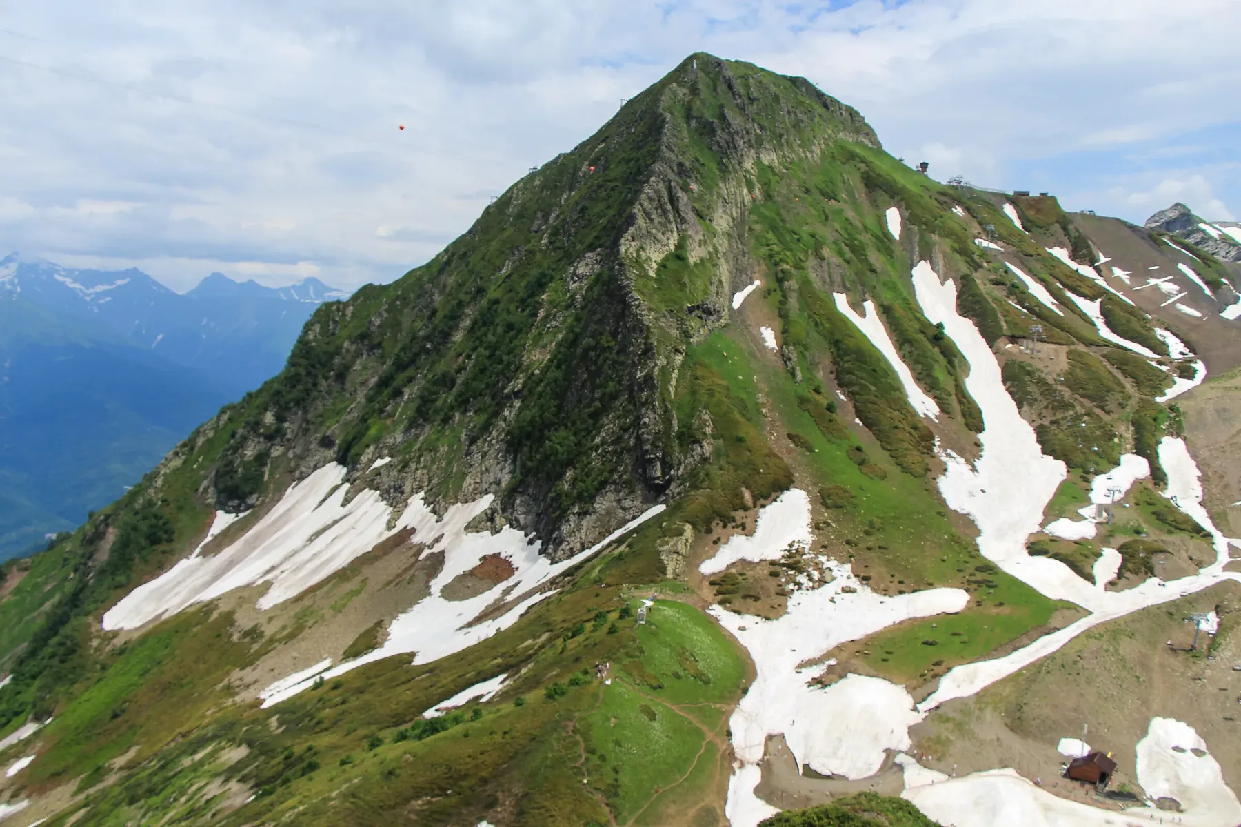
This is a linear route of about 0.5 km in Krasnaya Polyana and Rosa Khutor, suitable for travellers who want a clear route plan rather than a random walk.
A practical route for discovering Krasnaya Polyana and Rosa Khutor: about 6.5 km, recognisable landmarks and a landscape that changes gradually along the way.
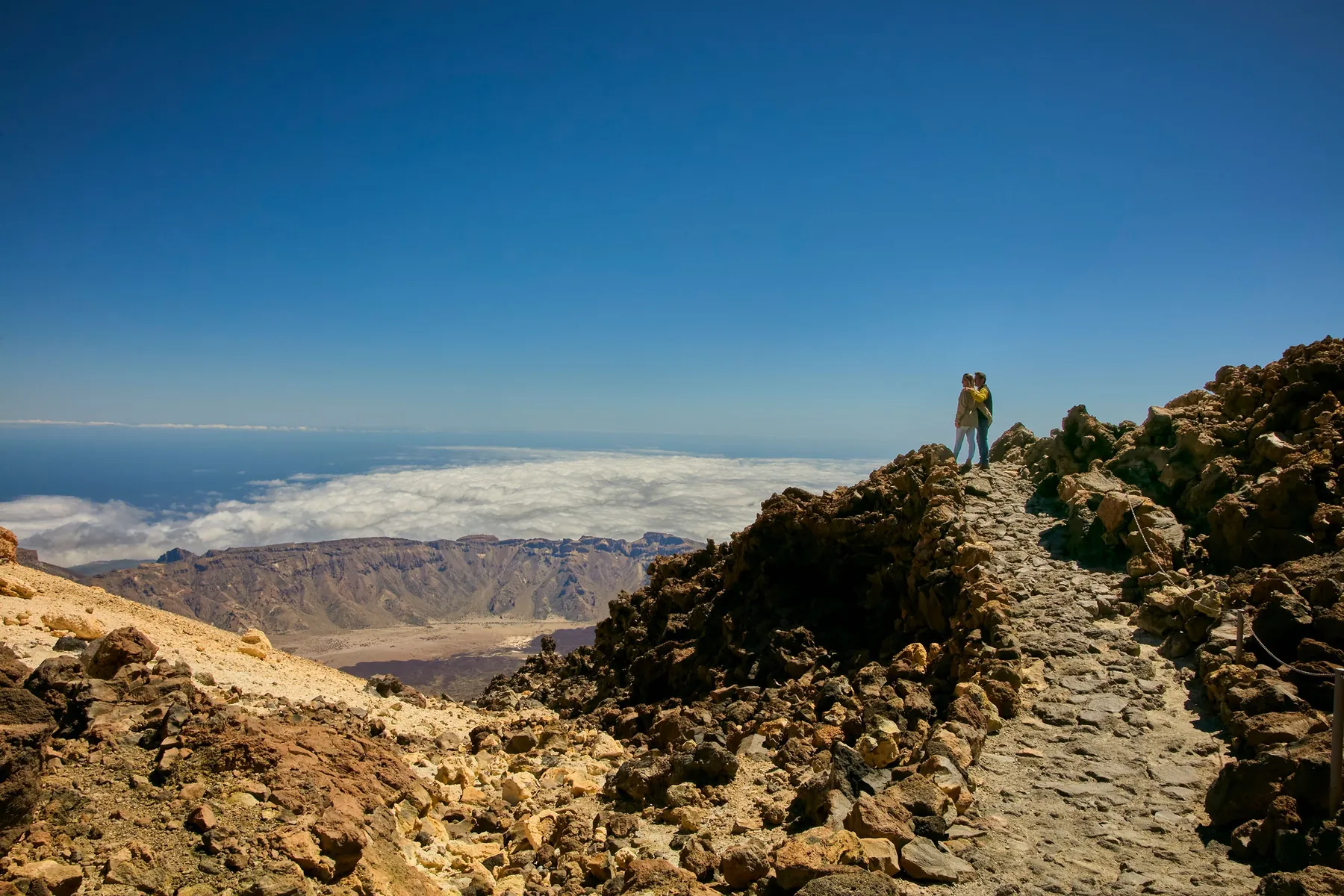
A scenic route in Tenerife and Teide National Park where access, distance and terrain can be planned in advance without losing the feeling of a real walk.
A practical route for discovering Tenerife and Teide National Park: about 1.2 km, recognisable landmarks and a landscape that changes gradually along the way.
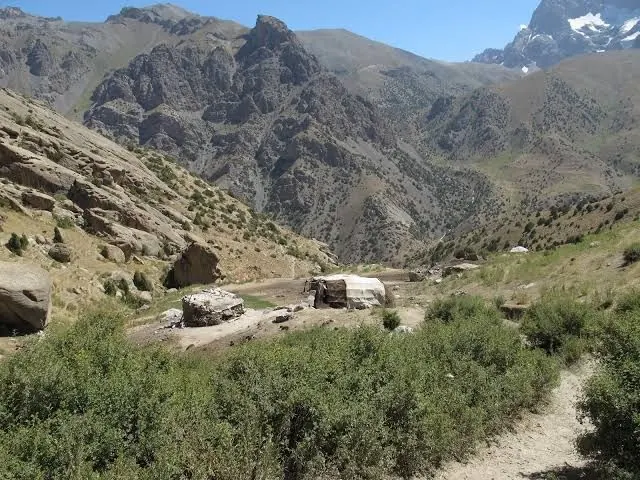
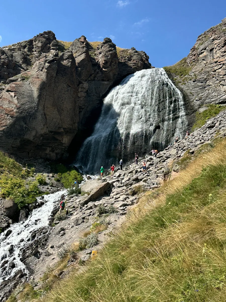
This is a linear route of about 5.1 km in the Central Caucasus, suitable for travellers who want a clear route plan rather than a random walk.
This is a linear route of about 149.1 km in the Southern Urals, suitable for travellers who want a clear route plan rather than a random walk.
A practical route for discovering the Scottish Highlands: about 23.5 km, recognisable landmarks and a landscape that changes gradually along the way.
This is a linear route of about 6.3 km in the Carpathians, suitable for travellers who want a clear route plan rather than a random walk.
A scenic route in the Carpathians where access, distance and terrain can be planned in advance without losing the feeling of a real walk.
A long day route of about 31.6 km through the central Pyrenees, with the main interest in mountain paths, rocks, climbs and open viewpoints.
A full day walk of about 19.8 km through the central Pyrenees, with the main interest in mountain paths, rocks, climbs and open viewpoints.
A practical route for discovering the Lake District: about 21.1 km, recognisable landmarks and a landscape that changes gradually along the way.
A long stage or multi-day section of about 126.8 km through Durmitor and northern Montenegro, with the main interest in mountain plateaus, lakes, forests and canyon views.
This is a loop route of about 0.2 km in the Bernese Oberland, suitable for travellers who want a clear route plan rather than a random walk.
This is a loop route of about 0.2 km in Tyrol and the Innsbruck area, suitable for travellers who want a clear route plan rather than a random walk.
A full day walk of about 7.3 km through Tyrol and the Innsbruck area, with the main interest in forest climbs, alpine meadows and sections near cable cars.
A long stage or multi-day section of about 865.3 km through the Munich to Venice long-distance route, with the main interest in alpine valleys, passes, huts and long-distance trail sections.
This is a linear route of about 0.6 km in the Julian Alps and Triglav National Park, suitable for travellers who want a clear route plan rather than a random walk.
This is a linear route of about 0.9 km in the Polish Tatras, suitable for travellers who want a clear route plan rather than a random walk.
A practical route for discovering the Polish Tatras: about 1.9 km, recognisable landmarks and a landscape that changes gradually along the way.
A practical route for discovering the Polish Tatras: about 8.2 km, recognisable landmarks and a landscape that changes gradually along the way.
This is a linear route of about 1.3 km in Zermatt and the Valais valleys, suitable for travellers who want a clear route plan rather than a random walk.