TrailTrack routes

Routes with a prepared description, difficulty, surface details and visit planning.

Found 1895 routes
Choose a route from the list or view routes on the map.
Kruglogo ozera: Walking Route
✓ TrailTrack

Kruglogo ozera: Walking Route

Hiking · One-day

Plan this 7.3 km point-to-point walking route from its verified distance, gradients and recorded surface rather than unconfirmed landmarks. Estimated moving time is about 2.1 hours; add time for pauses and navigation.

7.3 km 71 +0 m Easy
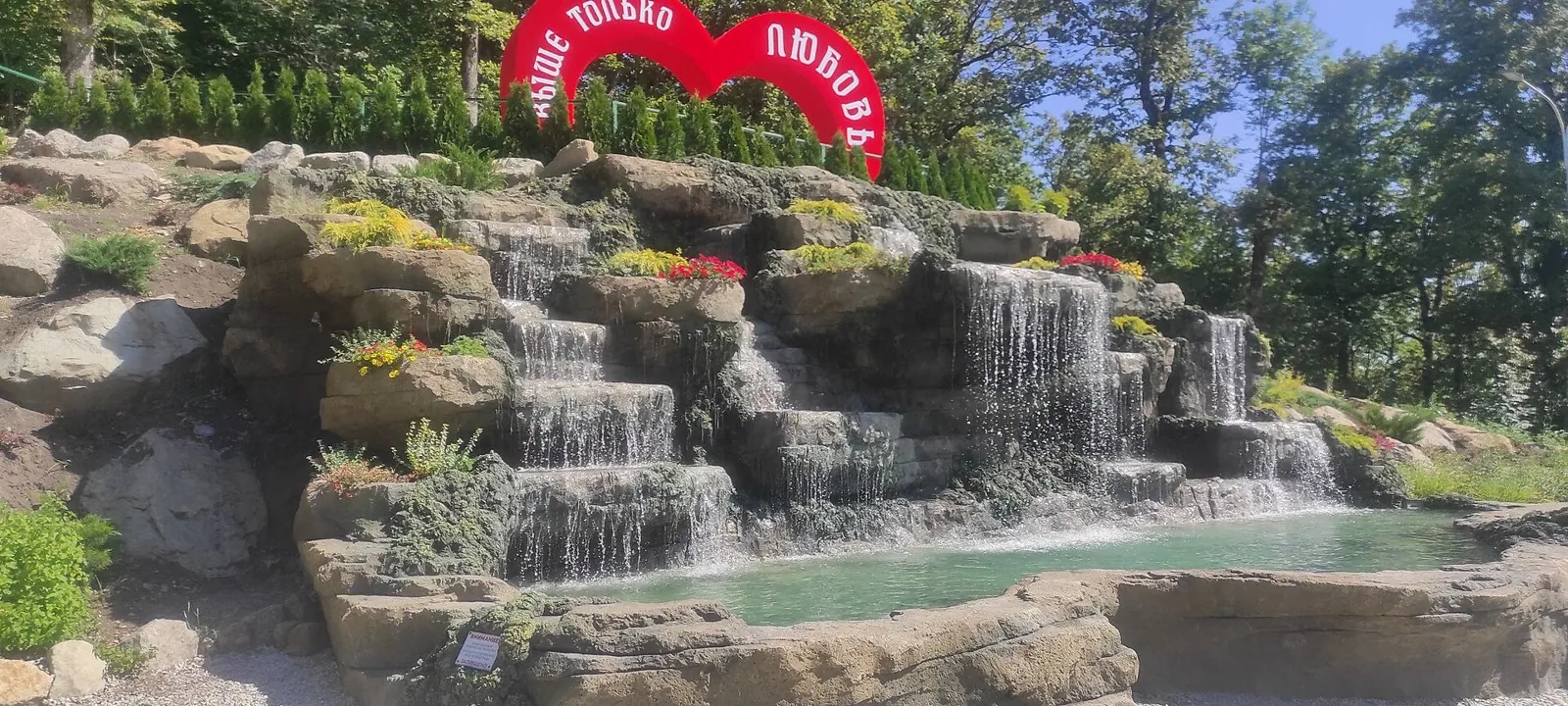
Health trail — the Caucasus, 1.51 km
✓ TrailTrack

Health trail — the Caucasus, 1.51 km

Health trail · Hiking · One-day

Plan this 1.51 km point-to-point walking route from its verified distance, gradients and recorded surface rather than unconfirmed landmarks. Estimated moving time is about 0.6 hours; add time for pauses and navigation.

1.5 km 71 +0 m Easy
Promenad po naberezhnoy
✓ TrailTrack

Promenad po naberezhnoy

Bicycle · One-day

Plan this 6.73 km point-to-point cycling route from its verified distance, gradients and recorded surface rather than unconfirmed landmarks. Estimated moving time is about 0.7 hours; add time for pauses and navigation.

6.7 km 71 +0 m Easy
Ayrankanty Pass
✓ TrailTrack

Ayrankanty Pass

Hiking · One-day

Expect roughly 11.5 km of high-mountain travel. The format is point-to-point, and Chal-Kuyruk is the starting reference. Use Chal-Kuyruk as the starting reference and Jiptik as the finishing reference; plan the return in advance. Features worth noticing include Sary-Goy Pass (mountain pass, 3450 m, directly beside the route); the nearest pass (mountain pass, 3700 m, directly beside the route); Kyzyl-Bel Pass (mountain pass, directly beside the route); Kashkasu Pass (mountain pass, about 1.2 km away). The route itself has no recorded elevations, but nearby named features rise to about 3700 m. This matters for weather and acclimatisation. Original material: OpenStreetMap — https://www.openstreetmap.org/relation/19851283.

11.5 km 71 +528 m Moderate
Ayry-Bel Pass
✓ TrailTrack

Ayry-Bel Pass

Hiking · Multi-day

This is a multi-part hiking route of about 30.3 km. The clearest starting reference is Gülchö. The route contains 2 separate parts; establish how they connect before travelling. Features worth noticing include the nearest pass (mountain pass, 2950 m, directly beside the route); Kara-Bulak Pass (mountain pass, 2785 m, directly beside the route); Sari Oy Yurt Camp (mountain hut, about 0.7 km away); Suu (spring, about 0.1 km away); Колонка с водой, кран внутри (drinking water, about 0.2 km away). The route itself has no recorded elevations, but nearby named features rise to about 2950 m. This matters for weather and acclimatisation. Original material: OpenStreetMap — https://www.openstreetmap.org/relation/19851245.

30.3 km 71 +1529 m Hard
Bolshoe Almatinskoe ozero
✓ TrailTrack

Bolshoe Almatinskoe ozero

Hiking · One-day

This point-to-point route is about 5.3 km long. Use Kokshoky to locate the starting area. Use Kokshoky as the starting reference and Озёрный as the finishing reference; plan the return in advance. Features worth noticing include Hut Shukyr (wilderness hut, about 1.0 km away); Скалистый (peak, 3332 m, about 1.8 km away); Bermuda (peak, 2827 m, about 1.8 km away); Radiotelescope (Tyan-Shan’ observatory) (attraction, about 0.5 km away); Big Lake (attraction, 2511 m, about 0.7 km away). The route itself has no recorded elevations, but nearby named features rise to about 3332 m. This matters for weather and acclimatisation. Original material: OpenStreetMap — https://www.openstreetmap.org/relation/17055124.

5.3 km 71 +694 m Easy
XCO Alatau
✓ TrailTrack

XCO Alatau

Bicycle · One-day

Expect roughly 4.3 km of lowland or foothill travel. The format is multi-part, and Tastybulak is the starting reference. The route contains 2 separate parts; establish how they connect before travelling. Features worth noticing include Вид на город (viewpoint, about 0.1 km away); Звёздная поляна (viewpoint, about 0.8 km away). There is no reliable elevation profile, so climbs and descents should be checked on a detailed map. Original material: OpenStreetMap — https://www.openstreetmap.org/relation/17946061.

4.3 km 71 +125 m Easy
Hills of the Minsk Region: Quiet-road variant
✓ TrailTrack

Hills of the Minsk Region: Quiet-road variant

M · Bicycle · Multi-day

This 204.23 km point-to-point cycling route is shaped by its terrain, surface and pace rather than a single landmark. Gentle terrain: 432 m of total ascent over 204.23 km. Allow at least 3 days and verify overnight and exit options independently.

204.2 km 71 +432 m Hard
Minsk Grand Circuit: Long-range variant
✓ TrailTrack

Minsk Grand Circuit: Long-range variant

Kp1, Ive, 129 · Bicycle · Multi-day

This 1003.17 km point-to-point cycling route passes through terrain where woodland is one of the route's main features. Gentle terrain: 395 m of total ascent over 1003.17 km. Surface: asphalt. Allow at least 14 days and verify overnight and exit options independently.

1003.2 km 71 +395 m Hard
Belarusian Fleche across the Grodno Region: via Malyavki
✓ TrailTrack

Belarusian Fleche across the Grodno Region: via Malyavki

Kp0 Minsk · Hiking · Multi-day

This is a 404.57 km point-to-point walking route with a complete recorded line to follow from start to finish. Gentle terrain: 222 m of total ascent over 404.57 km. Surface: asphalt plus improved surface. Allow at least 18 days and verify overnight and exit options independently.

404.6 km 71 +222 m Hard
Roads of Belarus: Open-country variant
✓ TrailTrack

Roads of Belarus: Open-country variant

Kp1 Ozera Azs 118 km · Hiking · Multi-day

This is a 1203.09 km point-to-point walking route with a complete recorded line to follow from start to finish. Gentle terrain: 510 m of total ascent over 1203.09 km. Surface: asphalt. Allow at least 51 days and verify overnight and exit options independently.

1203.1 km 71 +510 m Hard
Lake Country Route: via Grodno
✓ TrailTrack

Lake Country Route: via Grodno

Bicycle · Multi-day

The recorded line is a 1003.09 km circular cycling route, with shore or waterside sections are recorded on the route. Gentle terrain: 432 m of total ascent over 1003.09 km. Surface: asphalt. Allow at least 14 days and verify overnight and exit options independently.

1003.1 km 71 +432 m Hard
Road to Greater Things
✓ TrailTrack

Road to Greater Things

Kp 1 Iagazin · Hiking · Multi-day

Expect woodland is one of the route's main features on this 407.88 km circular walking route. Gentle terrain: 117 m of total ascent over 407.88 km. Surface: asphalt plus improved surface. Allow at least 18 days and verify overnight and exit options independently.

407.9 km 71 +117 m Hard
Gorki: Kamenni: Scenic variant
✓ TrailTrack

Gorki: Kamenni: Scenic variant

001 · Bicycle · Multi-day

Mapped stops at Museum Division named after Kastsyushki add clear points of interest along the way. Open views: mapped viewpoints occur along the way. Gentle terrain: 271 m of total ascent over 406.53 km. Allow at least 6 days and verify overnight and exit options independently.

406.5 km 71 +271 m Hard
Road to Litvinia
✓ TrailTrack

Road to Litvinia

Kp1 Lepel · Bicycle · Multi-day

Expect shore or waterside sections are recorded on the route on this 600.67 km point-to-point cycling route. Gentle terrain: 229 m of total ascent over 600.67 km. Surface: asphalt. Allow at least 8 days and verify overnight and exit options independently.

600.7 km 71 +229 m Hard
From the Dnieper to the Bug
✓ TrailTrack

From the Dnieper to the Bug

M · Bicycle · Multi-day

This 1000.86 km point-to-point cycling route passes through terrain where shore or waterside sections are recorded on the route. Gentle terrain: 205 m of total ascent over 1000.86 km. Surface: asphalt. Allow at least 14 days and verify overnight and exit options independently.

1000.9 km 71 +205 m Hard
Minsk: Brest: Paryzh: Lake-country variant
✓ TrailTrack

Minsk: Brest: Paryzh: Lake-country variant

R · Bicycle · Multi-day

This 1220.72 km point-to-point cycling route passes through terrain where shore or waterside sections are recorded on the route. Gentle terrain: 295 m of total ascent over 1220.72 km. Surface: asphalt. Allow at least 16 days and verify overnight and exit options independently.

1220.7 km 71 +295 m Hard
Green Circuit near Domachevo
✓ TrailTrack

Green Circuit near Domachevo

Bicycle · One-day

Expect woodland is one of the route's main features on this 93.78 km point-to-point cycling route. Gentle terrain: 31 m of total ascent over 93.78 km. Surface: asphalt plus compacted ground. Estimated moving time is about 8.6 hours; add time for pauses and navigation.

93.8 km 71 +31 m Hard
Walking Route in the Caucasus — 16,6 km
✓ TrailTrack

Walking Route in the Caucasus — 16,6 km

Caucasus · Hiking · One-day

Plan this 16.57 km circular walking route from its verified distance, gradients and recorded surface rather than unconfirmed landmarks. Estimated moving time is about 4.9 hours; add time for pauses and navigation.

16.6 km 70 +0 m Moderate
Plesetskie Waterfalls
✓ TrailTrack

Plesetskie Waterfalls

Hiking · One-day

Plan this 5.89 km point-to-point walking route from its verified distance, gradients and recorded surface rather than unconfirmed landmarks. Estimated moving time is about 1.7 hours; add time for pauses and navigation.

5.9 km 70 +0 m Easy
Dantovo ushchele to Mount Sapun: Walking Route
✓ TrailTrack

Dantovo ushchele to Mount Sapun: Walking Route

Hiking · One-day

Plan this 3.17 km circular walking route from its verified distance, gradients and recorded surface rather than unconfirmed landmarks. Estimated moving time is about 1.0 hours; add time for pauses and navigation.

3.2 km 70 +0 m Easy
Walking Route in the Caucasus — 6,0 km
✓ TrailTrack

Walking Route in the Caucasus — 6,0 km

Walking Route in the Caucasus · Hiking · One-day

Plan this 6 km point-to-point walking route from its verified distance, gradients and recorded surface rather than unconfirmed landmarks. Estimated moving time is about 1.8 hours; add time for pauses and navigation.

6.0 km 70 +0 m Easy
Kulduk Pass
✓ TrailTrack

Kulduk Pass

Hiking · One-day

This is a point-to-point hiking route of about 8.5 km. The clearest starting reference is Чалкойдо. Use Чалкойдо as the starting reference and Чалкойдо as the finishing reference; plan the return in advance. Features worth noticing include Kulduk pass (mountain pass, directly beside the route). There is no reliable elevation profile, so climbs and descents should be checked on a detailed map. Original material: OpenStreetMap — https://www.openstreetmap.org/relation/19849251.

8.5 km 70 +534 m Easy
Pass 2630m
✓ TrailTrack

Pass 2630m

Hiking · One-day

The route covers about 12.3 km as a multi-part hiking route, with Кызыл-Суу as the most useful starting reference. The route contains 2 separate parts; establish how they connect before travelling. Features worth noticing include the nearest pass (mountain pass, directly beside the route); Source (spring, about 1.6 km away). There is no reliable elevation profile, so climbs and descents should be checked on a detailed map. Original material: OpenStreetMap — https://www.openstreetmap.org/relation/19848363.

12.3 km 70 +778 m Moderate
Back Page 70 of 79 Next