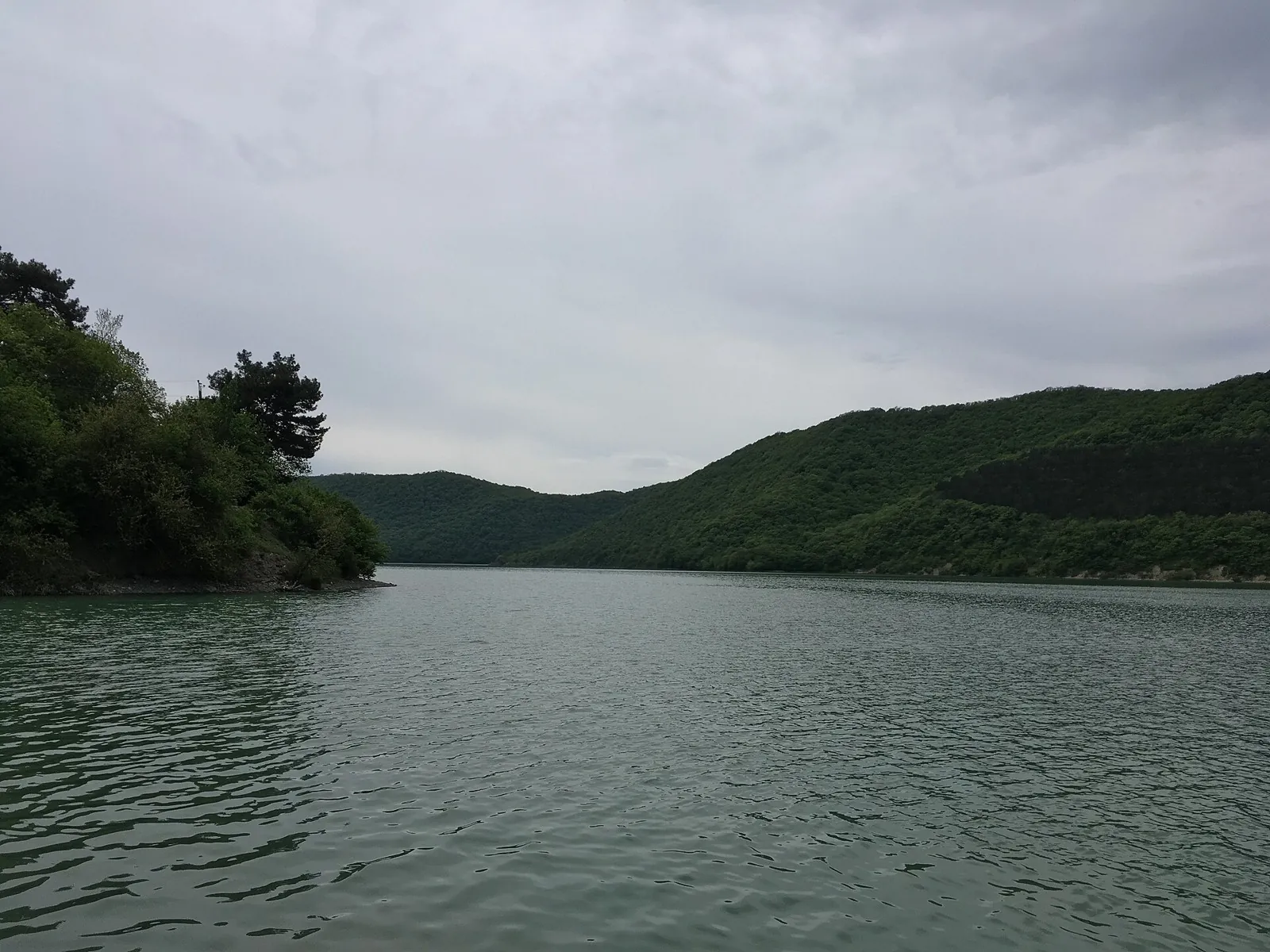
Vinogradnyy terruar
Plan this 8.28 km point-to-point walking route from its verified distance, gradients and recorded surface rather than unconfirmed landmarks. Estimated moving time is about 2.4 hours; add time for pauses and navigation.
Routes with a prepared description, difficulty, surface details and visit planning.
Plan this 8.28 km point-to-point walking route from its verified distance, gradients and recorded surface rather than unconfirmed landmarks. Estimated moving time is about 2.4 hours; add time for pauses and navigation.
Expect roughly 7.0 km of high-mountain travel. The format is point-to-point, and Chal-Kuyruk is the starting reference. Use Chal-Kuyruk as the starting reference and Chal-Kuyruk as the finishing reference; plan the return in advance. Features worth noticing include the nearest pass (mountain pass, 3630 m, about 0.1 km away); Zagara Pass (mountain pass, 3620 m, about 0.7 km away); Kashkasu Pass (mountain pass, about 1.1 km away). The route itself has no recorded elevations, but nearby named features rise to about 3630 m. This matters for weather and acclimatisation. Original material: OpenStreetMap — https://www.openstreetmap.org/relation/19851264.
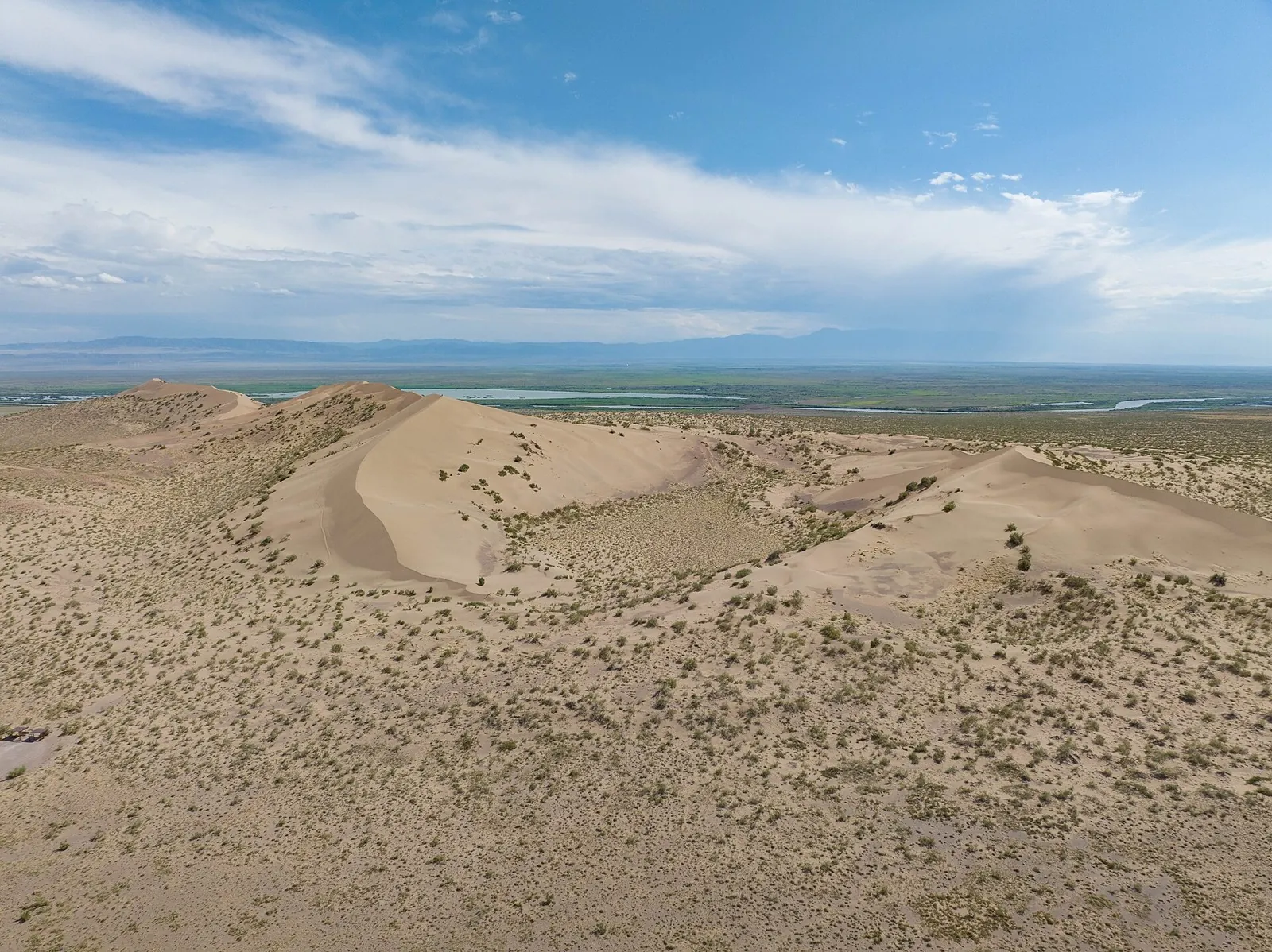
During independent agreed cycling visits, see the actual turanga grove edge and Valikhanov Spring’s location. The central departure, western branch and subsequent eastern road have different access-planning needs.
The recorded line is a 204.1 km circular cycling route, with woodland is one of the route's main features. Gentle terrain: 238 m of total ascent over 204.1 km. Surface: asphalt plus improved surface. Allow at least 3 days and verify overnight and exit options independently.
This 202.18 km point-to-point cycling route passes through terrain where woodland is one of the route's main features. Gentle terrain: 456 m of total ascent over 202.18 km. Surface: asphalt. Allow at least 3 days and verify overnight and exit options independently.
The interest of this 202.94 km point-to-point cycling route lies in travelling the distance itself: its gradients, surface and rhythm. Gentle terrain: 487 m of total ascent over 202.94 km. Allow at least 3 days and verify overnight and exit options independently.
Woodland is one of the route's main features along this 200.63 km circular cycling route. Gentle terrain: 489 m of total ascent over 200.63 km. Surface: asphalt plus concrete. Allow at least 3 days and verify overnight and exit options independently.
Treat this 1200.14 km circular walking route as a complete outing, paying attention to the terrain and changing surface underfoot. Gentle terrain: 493 m of total ascent over 1200.14 km. Allow at least 51 days and verify overnight and exit options independently.
This 1005.66 km circular cycling route passes through terrain where woodland is one of the route's main features. Gentle terrain: 391 m of total ascent over 1005.66 km. Surface: asphalt. Allow at least 14 days and verify overnight and exit options independently.
This 203.21 km circular cycling route is shaped by its terrain, surface and pace rather than a single landmark. Gentle terrain: 102 m of total ascent over 203.21 km. Surface: asphalt. Allow at least 3 days and verify overnight and exit options independently.
Shore or waterside sections are recorded on the route along this 1005.66 km circular cycling route. Gentle terrain: 391 m of total ascent over 1005.66 km. Surface: asphalt. Allow at least 14 days and verify overnight and exit options independently.
This is a 202.17 km point-to-point cycling route with a complete recorded line to follow from start to finish. Gentle terrain: 189 m of total ascent over 202.17 km. Surface: asphalt. Allow at least 3 days and verify overnight and exit options independently.
Expect shore or waterside sections are recorded on the route on this 600.68 km circular cycling route. Gentle terrain: 119 m of total ascent over 600.68 km. Surface: asphalt. Allow at least 8 days and verify overnight and exit options independently.
Shore or waterside sections are recorded on the route along this 602.87 km point-to-point cycling route. Gentle terrain: 389 m of total ascent over 602.87 km. Surface: asphalt. Allow at least 8 days and verify overnight and exit options independently.
Plan this 2.1 km point-to-point walking route from its verified distance, gradients and recorded surface rather than unconfirmed landmarks. Estimated moving time is about 0.7 hours; add time for pauses and navigation.
Plan this 4.03 km point-to-point walking route from its verified distance, gradients and recorded surface rather than unconfirmed landmarks. Estimated moving time is about 1.2 hours; add time for pauses and navigation.
Plan this 3.9 km circular walking route from its verified distance, gradients and recorded surface rather than unconfirmed landmarks. Estimated moving time is about 1.2 hours; add time for pauses and navigation.
Plan this 4.94 km point-to-point cycling route from its verified distance, gradients and recorded surface rather than unconfirmed landmarks. Estimated moving time is about 0.6 hours; add time for pauses and navigation.
This is a point-to-point hiking route of about 9.9 km. The clearest starting reference is Ара-Кол. Use Ара-Кол as the starting reference and Ара-Кол as the finishing reference; plan the return in advance. Few named sights are mapped nearby, so Ара-Кол and Ара-Кол remain the main references. There is no reliable elevation profile, so climbs and descents should be checked on a detailed map. Original material: OpenStreetMap — https://www.openstreetmap.org/relation/19855862.
Expect roughly 32.0 km of high-mountain travel. The format is multi-part, and Jiptik is the starting reference. The route contains 3 separate parts; establish how they connect before travelling. Features worth noticing include the nearest pass (mountain pass, 4185 m, directly beside the route); Kaltaboz Pass (mountain pass, about 1.0 km away); Kara Bel pass (mountain pass, 3574 m, about 1.9 km away); CBT Yurt Camp (camp site, directly beside the route); CBT Sary Mogul office (visitor information, about 0.5 km away). The route itself has no recorded elevations, but nearby named features rise to about 4185 m. This matters for weather and acclimatisation. Original material: OpenStreetMap — https://www.openstreetmap.org/relation/19851310.
Expect roughly 5.9 km of high-mountain travel. The format is point-to-point, and Канджыга is the starting reference. Use Канджыга as the starting reference and Ара-Кол as the finishing reference; plan the return in advance. Features worth noticing include Pass 1920m (mountain pass, about 1.2 km away). There is no reliable elevation profile, so climbs and descents should be checked on a detailed map. Original material: OpenStreetMap — https://www.openstreetmap.org/relation/19848400.
The interest of this 399.89 km circular cycling route lies in travelling the distance itself: its gradients, surface and rhythm. Gentle terrain: 150 m of total ascent over 399.89 km. Allow at least 6 days and verify overnight and exit options independently.
This 308.54 km point-to-point cycling route is shaped by its terrain, surface and pace rather than a single landmark. Gentle terrain: 285 m of total ascent over 308.54 km. Allow at least 5 days and verify overnight and exit options independently.
This 304.68 km circular cycling route is shaped by its terrain, surface and pace rather than a single landmark. Gentle terrain: 310 m of total ascent over 304.68 km. Allow at least 5 days and verify overnight and exit options independently.
Pick where to start
Share a trip