✓ TrailTrack
Kum Bel pass
Hiking
·
One-day
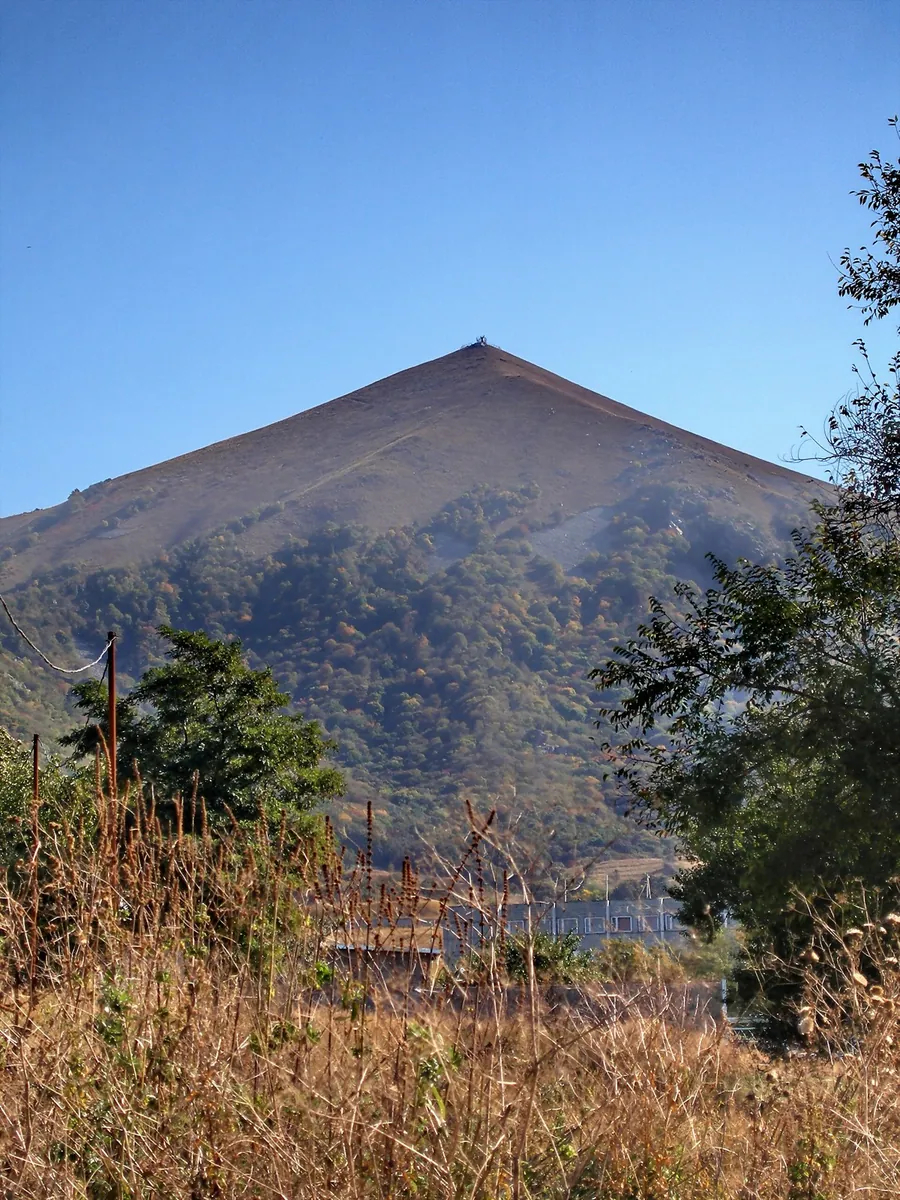
The route covers about 11.4 km as a point-to-point hiking route, with Канджыга as the most useful starting reference. Use Канджыга as the starting reference and Канджыга as the finishing reference; plan the return in advance. Features worth noticing include the nearest pass (mountain pass, directly beside the route); Pass 1920m (mountain pass, about 1.4 km away). There is no reliable elevation profile, so climbs and descents should be checked on a detailed map. Original material: OpenStreetMap — https://www.openstreetmap.org/relation/19848390.
11.4 km
63
+461 m
Moderate