TrailTrack routes

Routes with a prepared description, difficulty, surface details and visit planning.

Found 1895 routes
Choose a route from the list or view routes on the map.
Kum Bel pass
✓ TrailTrack

Kum Bel pass

Hiking · One-day

The route covers about 11.4 km as a point-to-point hiking route, with Канджыга as the most useful starting reference. Use Канджыга as the starting reference and Канджыга as the finishing reference; plan the return in advance. Features worth noticing include the nearest pass (mountain pass, directly beside the route); Pass 1920m (mountain pass, about 1.4 km away). There is no reliable elevation profile, so climbs and descents should be checked on a detailed map. Original material: OpenStreetMap — https://www.openstreetmap.org/relation/19848390.

11.4 km 63 +461 m Moderate
Novogrudok Circuit: western route
✓ TrailTrack

Novogrudok Circuit: western route

Bicycle · Multi-day

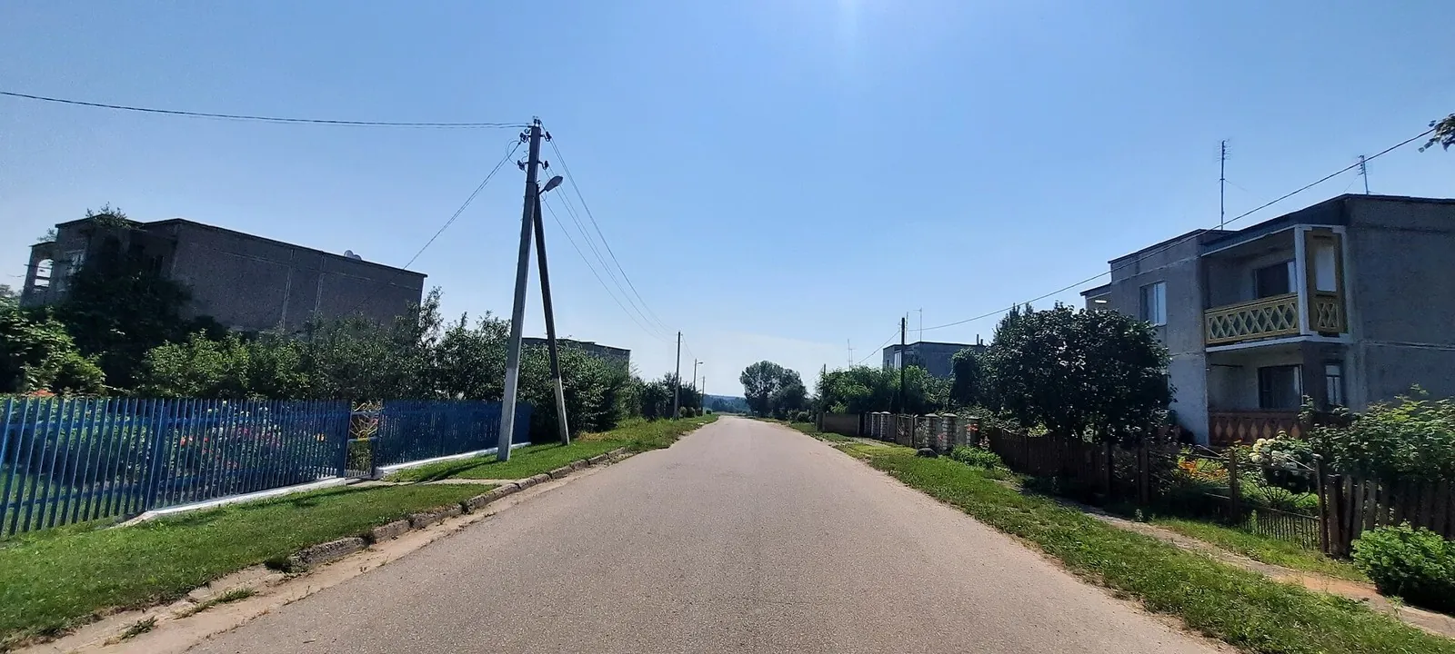
Treat this 410.92 km circular cycling route as a complete outing, paying attention to the terrain and changing surface underfoot. Gentle terrain: 418 m of total ascent over 410.92 km. Allow at least 6 days and verify overnight and exit options independently.

410.9 km 63 +418 m Hard
Lida Loop: via Novogrudok
✓ TrailTrack

Lida Loop: via Novogrudok

Start Kp0 · Bicycle · Multi-day

Treat this 201.07 km point-to-point cycling route as a complete outing, paying attention to the terrain and changing surface underfoot. Gentle terrain: 212 m of total ascent over 201.07 km. Allow at least 3 days and verify overnight and exit options independently.

201.1 km 63 +212 m Hard
Western Belarus: Part one
✓ TrailTrack

Western Belarus: Part one

Bicycle · Multi-day

This 315.78 km circular cycling route is shaped by its terrain, surface and pace rather than a single landmark. Gentle terrain: 292 m of total ascent over 315.78 km. Allow at least 5 days and verify overnight and exit options independently.

315.8 km 63 +292 m Hard
Road into Summer
✓ TrailTrack

Road into Summer

Kp1 Olekshitsy · Bicycle · Multi-day

The recorded line is a 206.03 km point-to-point cycling route, with woodland is one of the route's main features. Gentle terrain: 178 m of total ascent over 206.03 km. Surface: asphalt. Allow at least 3 days and verify overnight and exit options independently.

206.0 km 63 +178 m Hard
Gorki: Krichev: Gomel
✓ TrailTrack

Gorki: Krichev: Gomel

Kp4 Park · Bicycle · Multi-day

This 403.46 km point-to-point cycling route is shaped by its terrain, surface and pace rather than a single landmark. Gentle terrain: 165 m of total ascent over 403.46 km. Allow at least 6 days and verify overnight and exit options independently.

403.5 km 63 +165 m Hard
Belarus Lake Country: Quiet-road variant
✓ TrailTrack

Belarus Lake Country: Quiet-road variant

Kp2, Lyntupy, 202km · Bicycle · Multi-day

Shore or waterside sections are recorded on the route along this 602.95 km point-to-point cycling route. Gentle terrain: 409 m of total ascent over 602.95 km. Surface: asphalt. Allow at least 8 days and verify overnight and exit options independently.

603.0 km 63 +409 m Hard
Grand Route across Belarus: from Gorki
✓ TrailTrack

Grand Route across Belarus: from Gorki

Kp0. Gorki. Gorodskie Tsvety · Bicycle · Multi-day

The interest of this 2010.61 km circular cycling route lies in travelling the distance itself: its gradients, surface and rhythm. Gentle terrain: 206 m of total ascent over 2010.61 km. Allow at least 27 days and verify overnight and exit options independently.

2010.6 km 63 +206 m Hard
The Long Road: Southern route
✓ TrailTrack

The Long Road: Southern route

Kp 0 Start Ploshchad Svobody · Bicycle · Multi-day

Expect shore or waterside sections are recorded on the route on this 400.48 km point-to-point cycling route. Gentle terrain: 215 m of total ascent over 400.48 km. Surface: asphalt. Allow at least 6 days and verify overnight and exit options independently.

400.5 km 63 +215 m Hard
Meeting Friends: via Obol
✓ TrailTrack

Meeting Friends: via Obol

Kp 0 Start Kostel · Bicycle · Multi-day

The recorded line is a 200.98 km point-to-point cycling route, with shore or waterside sections are recorded on the route. Gentle terrain: 127 m of total ascent over 200.98 km. Surface: asphalt. Allow at least 3 days and verify overnight and exit options independently.

201.0 km 63 +127 m Hard
Meeting Friends: Open-country variant
✓ TrailTrack

Meeting Friends: Open-country variant

Kp 0 Start Sobor · Bicycle · Multi-day

Expect shore or waterside sections are recorded on the route on this 202.4 km point-to-point cycling route. Gentle terrain: 133 m of total ascent over 202.4 km. Surface: asphalt. Allow at least 3 days and verify overnight and exit options independently.

202.4 km 63 +133 m Hard
Polotsk: Novopolotsk: Grand Circuit to the Horizon
✓ TrailTrack

Polotsk: Novopolotsk: Grand Circuit to the Horizon

Kp 0. Start. Sofiyskiy Sobor · Bicycle · Multi-day

The recorded line is a 301.34 km point-to-point cycling route, with shore or waterside sections are recorded on the route. Gentle terrain: 170 m of total ascent over 301.34 km. Surface: asphalt. Allow at least 4 days and verify overnight and exit options independently.

301.3 km 63 +170 m Hard
Luninets: Long-Distance Route
✓ TrailTrack

Luninets: Long-Distance Route

Kp 1 · Bicycle · Multi-day

The recorded line is a 201.92 km circular cycling route, with woodland is one of the route's main features. Gentle terrain: 26 m of total ascent over 201.92 km. Surface: asphalt plus natural ground. Allow at least 3 days and verify overnight and exit options independently.

201.9 km 63 +26 m Hard
Across the Brest Polesie: Suburban variant
✓ TrailTrack

Across the Brest Polesie: Suburban variant

Kp0, Kp6 Brest, Azs · Bicycle · Multi-day

Expect woodland is one of the route's main features on this 301.22 km circular cycling route. Gentle terrain: 152 m of total ascent over 301.22 km. Surface: asphalt. Allow at least 4 days and verify overnight and exit options independently.

301.2 km 63 +152 m Hard
Roads of Belarus: Suburban variant
✓ TrailTrack

Roads of Belarus: Suburban variant

Kp1 Ozera Azs 118 km · Hiking · Multi-day

This 1203.09 km point-to-point walking route is shaped by its terrain, surface and pace rather than a single landmark. Gentle terrain: 510 m of total ascent over 1203.09 km. Allow at least 51 days and verify overnight and exit options independently.

1203.1 km 62 +510 m Hard
Road to Zhirovichi: Western route
✓ TrailTrack

Road to Zhirovichi: Western route

Kp 1 Synkavichi Tserkov-krepost · Bicycle · Multi-day

Woodland is one of the route's main features along this 206.28 km point-to-point cycling route. Gentle terrain: 235 m of total ascent over 206.28 km. Surface: asphalt. Allow at least 3 days and verify overnight and exit options independently.

206.3 km 62 +235 m Hard
Novopolotsk: Grand Circuit to the Horizon
✓ TrailTrack

Novopolotsk: Grand Circuit to the Horizon

Kp 0 / 7 Novopolotsk Azs · Bicycle · Multi-day

Expect shore or waterside sections are recorded on the route on this 400.99 km circular cycling route. Gentle terrain: 177 m of total ascent over 400.99 km. Surface: asphalt plus compacted ground. Allow at least 6 days and verify overnight and exit options independently.

401.0 km 62 +177 m Hard
The Long Road: Interregional variant
✓ TrailTrack

The Long Road: Interregional variant

Kp 1 Lepel magazin · Bicycle · Multi-day

Shore or waterside sections are recorded on the route along this 400.95 km point-to-point cycling route. Gentle terrain: 197 m of total ascent over 400.95 km. Surface: asphalt. Allow at least 6 days and verify overnight and exit options independently.

401.0 km 62 +197 m Hard
Polesie Circuit
✓ TrailTrack

Polesie Circuit

Kp 0 · Bicycle · Multi-day

The recorded line is a 205.82 km circular cycling route, with woodland is one of the route's main features. Gentle terrain: 80 m of total ascent over 205.82 km. Surface: asphalt. Allow at least 3 days and verify overnight and exit options independently.

205.8 km 62 +80 m Hard
Bolshoy Alolskiy Circuit
✓ TrailTrack

Bolshoy Alolskiy Circuit

VER-PARK · Hiking · One-day

Plan this 21.31 km circular walking route from its verified distance, gradients and recorded surface rather than unconfirmed landmarks. Rolling terrain: 198 m of total ascent over 21.31 km. Estimated moving time is about 6.6 hours; add time for pauses and navigation.

21.3 km 61 +198 m Moderate
Belaya Romashka => Beshtaugorskoe Loop
✓ TrailTrack

Belaya Romashka => Beshtaugorskoe Loop

Caucasus · Hiking · One-day

Plan this 3.94 km point-to-point walking route from its verified distance, gradients and recorded surface rather than unconfirmed landmarks. Estimated moving time is about 1.2 hours; add time for pauses and navigation.

3.9 km 61 +0 m Easy
Hills of the Minsk Region: via Tsnyanka
✓ TrailTrack

Hills of the Minsk Region: via Tsnyanka

Kp1, Galimtsy, 55km · Bicycle · Multi-day

Treat this 198.53 km point-to-point cycling route as a complete outing, paying attention to the terrain and changing surface underfoot. Gentle terrain: 435 m of total ascent over 198.53 km. Allow at least 3 days and verify overnight and exit options independently.

198.5 km 61 +435 m Hard
Borisov Loop: Forest variant
✓ TrailTrack

Borisov Loop: Forest variant

Kp0, Kp6 Borovaya · Bicycle · Multi-day

Woodland is one of the route's main features along this 205 km circular cycling route. Gentle terrain: 370 m of total ascent over 205 km. Surface: asphalt. Allow at least 3 days and verify overnight and exit options independently.

205.0 km 61 +370 m Hard
Vileyka Loop: Suburban variant
✓ TrailTrack

Vileyka Loop: Suburban variant

P · Bicycle · Multi-day

The interest of this 300.37 km point-to-point cycling route lies in travelling the distance itself: its gradients, surface and rhythm. Gentle terrain: 446 m of total ascent over 300.37 km. Allow at least 4 days and verify overnight and exit options independently.

300.4 km 61 +446 m Hard
Back Page 77 of 79 Next