Tyrolean Trail above Innsbruck: Sebastian-Kandler-Lauf
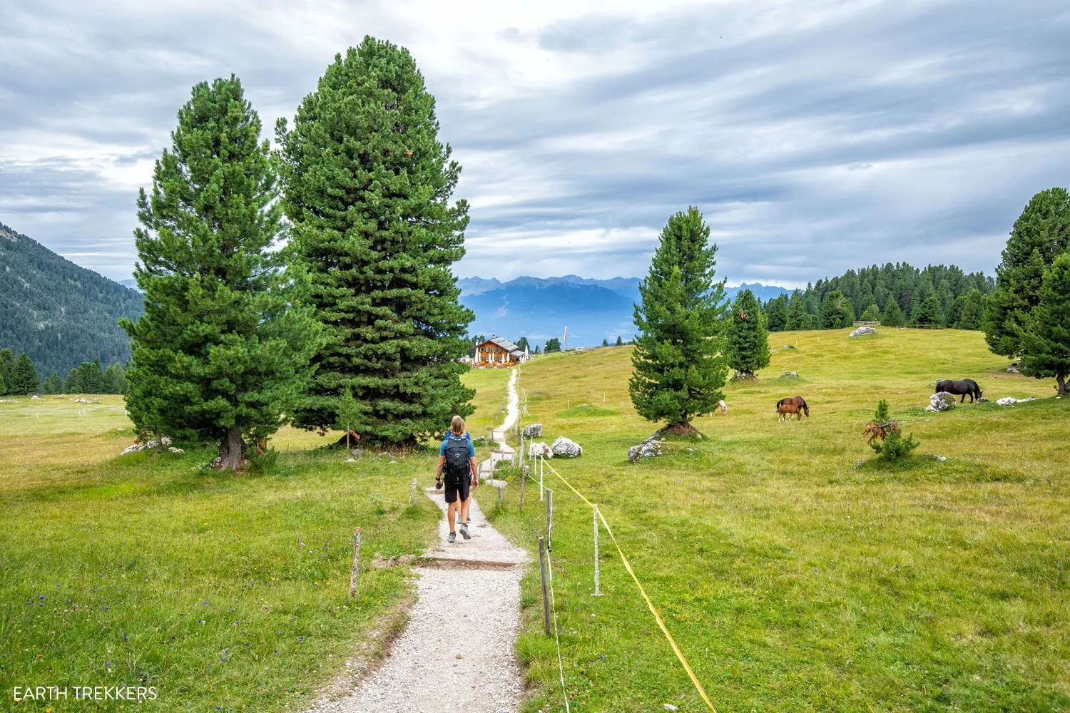
A full day walk of about 7.3 km through Tyrol and the Innsbruck area, with the main interest in forest climbs, alpine meadows and sections near cable cars.
Verified routes with descriptions, difficulty, surface details and trip planning.
A full day walk of about 7.3 km through Tyrol and the Innsbruck area, with the main interest in forest climbs, alpine meadows and sections near cable cars.
A practical route for discovering Norwegian mountains and fjord valleys: about 38.5 km, recognisable landmarks and a landscape that changes gradually along the way.
A long stage or multi-day section of about 865.3 km through the Munich to Venice long-distance route, with the main interest in alpine valleys, passes, huts and long-distance trail sections.
This is a linear route of about 0.6 km in the Julian Alps and Triglav National Park, suitable for travellers who want a clear route plan rather than a random walk.
This is a linear route of about 4.2 km in the Julian Alps and Triglav National Park, suitable for travellers who want a clear route plan rather than a random walk.
A short outing of about 5.5 km through the Julian Alps and Triglav National Park, with the main interest in alpine paths, huts, forests and limestone ridges.
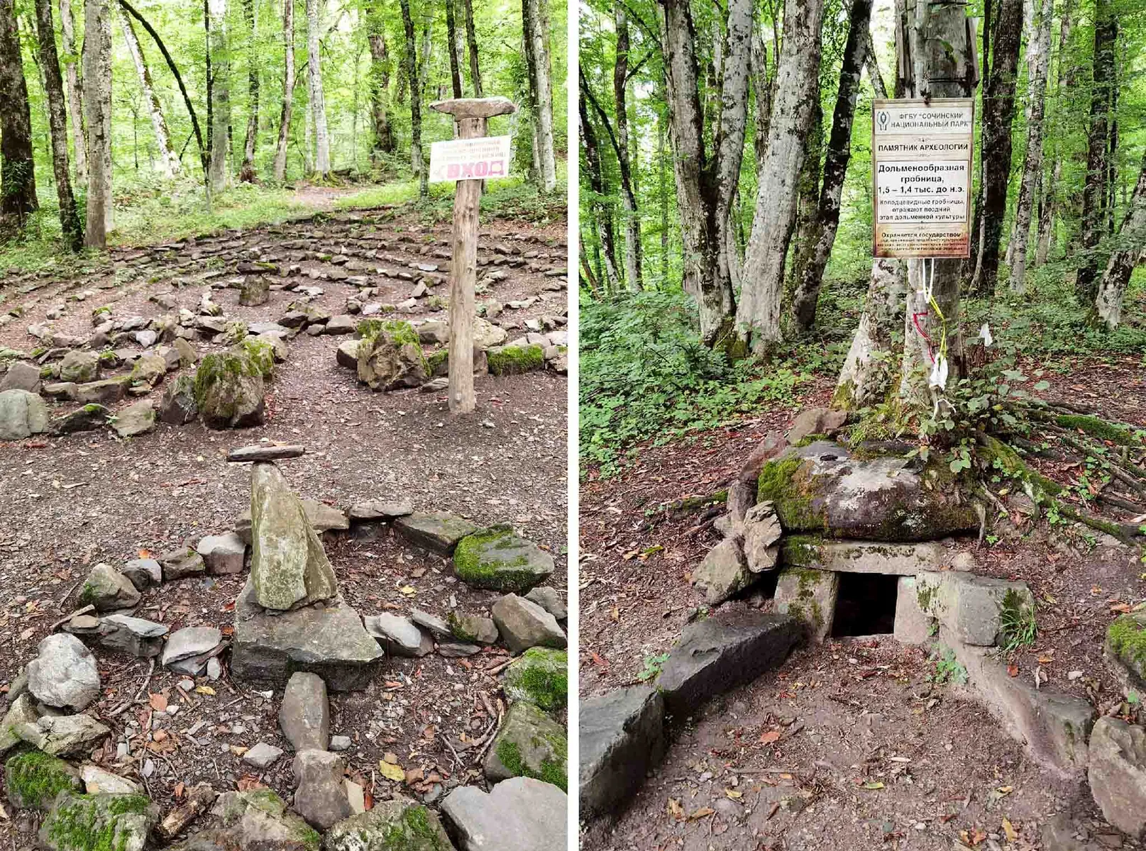
This is a linear route of about 1 km in Krasnaya Polyana and Rosa Khutor, suitable for travellers who want a clear route plan rather than a random walk.
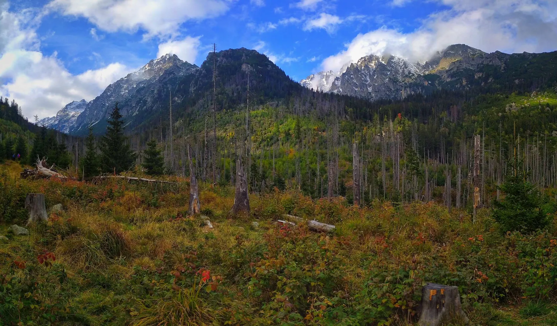
This is a linear route of about 0.9 km in the Polish Tatras, suitable for travellers who want a clear route plan rather than a random walk.
A short outing of about 0.8 km through the Polish Tatras, with the main interest in stone paths, valleys, lakes and hut approaches.
A practical route for discovering the Polish Tatras: about 1.9 km, recognisable landmarks and a landscape that changes gradually along the way.
A practical route for discovering the Polish Tatras: about 0.8 km, recognisable landmarks and a landscape that changes gradually along the way.
A practical route for discovering the Polish Tatras: about 8.2 km, recognisable landmarks and a landscape that changes gradually along the way.
This is a linear route of about 1.3 km in Zermatt and the Valais valleys, suitable for travellers who want a clear route plan rather than a random walk.
A short outing of about 2.4 km through Zermatt and the Valais valleys, with the main interest in alpine paths, pastures, moraines and glacier views.
A practical route for discovering Zermatt and the Valais valleys: about 3.2 km, recognisable landmarks and a landscape that changes gradually along the way.
A scenic route in Madeira where access, distance and terrain can be planned in advance without losing the feeling of a real walk.
This is a linear route of about 1.6 km in Madeira, suitable for travellers who want a clear route plan rather than a random walk.
A short outing of about 3.8 km through Krasnaya Polyana and Rosa Khutor, with the main interest in forest trails, resort roads, waterfalls and alpine meadows.
A scenic route in Krasnaya Polyana and Rosa Khutor where access, distance and terrain can be planned in advance without losing the feeling of a real walk.
A practical route for discovering Borjomi-Kharagauli and the Lesser Caucasus: about 30 km, recognisable landmarks and a landscape that changes gradually along the way.
A scenic route in Borjomi-Kharagauli and the Lesser Caucasus where access, distance and terrain can be planned in advance without losing the feeling of a real walk.
A scenic route in Ecrins and Oisans where access, distance and terrain can be planned in advance without losing the feeling of a real walk.
A practical route for discovering the Altai Mountains: about 51.1 km, recognisable landmarks and a landscape that changes gradually along the way.
A practical route for discovering Tenerife and Teide National Park: about 7.5 km, recognisable landmarks and a landscape that changes gradually along the way.