TrailTrack routes

Маршруты с подготовленным описанием, сложностью, покрытием и планированием визита.

Found 637 routes
Choose a route from the list or view routes on the map.
Gomel: Long-Distance Route
✓ TrailTrack

Gomel: Long-Distance Route

Старт · Hiking · Multi-day

This 203.71 km point-to-point walking route is shaped by its terrain, surface and pace rather than a single landmark. Gentle terrain: 91 m of total ascent over 203.71 km. Allow at least 9 days and verify overnight and exit options independently.

203.7 km 86 +91 m Hard
Vitebsk: Grand Circuit to the Horizon
✓ TrailTrack

Vitebsk: Grand Circuit to the Horizon

СТАРТ · Bicycle · Multi-day

Expect shore or waterside sections are recorded on the route on this 203.79 km point-to-point cycling route. Gentle terrain: 132 m of total ascent over 203.79 km. Surface: asphalt. Allow at least 3 days and verify overnight and exit options independently.

203.8 km 86 +132 m Hard
Grand Brest Circuit: via Chernavchitsy
✓ TrailTrack

Grand Brest Circuit: via Chernavchitsy

КП1 АЗС · Bicycle · Multi-day

Treat this 200.5 km circular cycling route as a complete outing, paying attention to the terrain and changing surface underfoot. Gentle terrain: 130 m of total ascent over 200.5 km. Allow at least 3 days and verify overnight and exit options independently.

200.5 km 86 +130 m Hard
Berezina
✓ TrailTrack

Berezina

старт · Hiking · Multi-day

Expect shore or waterside sections are recorded on the route on this 200.87 km point-to-point walking route. Gentle terrain: 139 m of total ascent over 200.87 km. Surface: asphalt. Allow at least 9 days and verify overnight and exit options independently.

200.9 km 85 +139 m Hard
Krinitsa and the Pine Forest
✓ TrailTrack

Krinitsa and the Pine Forest

Пицца 1 · Hiking · Multi-day

This 37.93 km circular walking route passes through terrain where woodland is one of the route's main features. Gentle terrain: 136 m of total ascent over 37.93 km. Surface: compacted ground plus asphalt. Allow at least 2 days and verify overnight and exit options independently.

37.9 km 85 +136 m Hard
Borisov Loop: Long-range variant
✓ TrailTrack

Borisov Loop: Long-range variant

КП0, КП6 Боровая · Bicycle · Multi-day

This 204.98 km circular cycling route passes through terrain where woodland is one of the route's main features. Gentle terrain: 369 m of total ascent over 204.98 km. Surface: asphalt. Allow at least 3 days and verify overnight and exit options independently.

205.0 km 85 +369 m Hard
Spring Journey: via Zaslavl
✓ TrailTrack

Spring Journey: via Zaslavl

КП Раков, 38км · Bicycle · Multi-day

The recorded line is a 205.73 km circular cycling route, with woodland is one of the route's main features. Gentle terrain: 407 m of total ascent over 205.73 km. Surface: asphalt. Allow at least 3 days and verify overnight and exit options independently.

205.7 km 85 +407 m Hard
Zarechnoye Station: Route to the Trail
✓ TrailTrack

Zarechnoye Station: Route to the Trail

АЗС · Bicycle · One-day

Expect shore or waterside sections are recorded on the route on this 5.07 km point-to-point cycling route. Gentle terrain: 17 m of total ascent over 5.07 km. Surface: asphalt plus paving stones. Estimated moving time is about 0.6 hours; add time for pauses and navigation.

5.1 km 85 +17 m Easy
Borisov Loop: Southern route
✓ TrailTrack

Borisov Loop: Southern route

Bicycle · One-day

This 14.36 km point-to-point cycling route is shaped by its terrain, surface and pace rather than a single landmark. Gentle terrain: 23 m of total ascent over 14.36 km. Estimated moving time is about 1.3 hours; add time for pauses and navigation.

14.4 km 85 +23 m Moderate
Dunai Loop: Northern route
✓ TrailTrack

Dunai Loop: Northern route

КП2 Лукавец, 71км · Bicycle · Multi-day

The mapped line covers a 199.65 km point-to-point cycling route; terrain and surface are the main verified planning details available. Gentle terrain: 202 m of total ascent over 199.65 km. Surface: asphalt. Allow at least 3 days and verify overnight and exit options independently.

199.7 km 85 +202 m Hard
Trans-Belarus: Ferry-Free Route
✓ TrailTrack

Trans-Belarus: Ferry-Free Route

Bicycle · One-day

Shore or waterside sections are recorded on the route along this 82.03 km point-to-point cycling route. Gentle terrain: 54 m of total ascent over 82.03 km. Surface: asphalt. Estimated moving time is about 7.5 hours; add time for pauses and navigation.

82.0 km 85 +54 m Hard
To the Lighthouse through the Vitebsk Lake District: Western route
✓ TrailTrack

To the Lighthouse through the Vitebsk Lake District: Western route

КП 0 Новополоцк АЗС · Bicycle · Multi-day

The route gives you good reasons to pause at zamkovaya Mountain, Spring, rather than treating the outing as distance alone. Near the water: shore or waterside sections are recorded on the route. Gentle terrain: 87 m of total ascent over 299.97 km. Surface: asphalt.

300.0 km 85 +87 m Hard
Trail between the Lakes
✓ TrailTrack

Trail between the Lakes

Hiking · One-day

The recorded line is a 1.52 km point-to-point walking route, with shore or waterside sections are recorded on the route. Gentle terrain: 3 m of total ascent over 1.52 km. Estimated moving time is about 0.6 hours; add time for pauses and navigation.

1.5 km 85 +3 m Easy
Through Brest: The Railway Museum and Fortress Streets
✓ TrailTrack

Through Brest: The Railway Museum and Fortress Streets

А · Bicycle · One-day

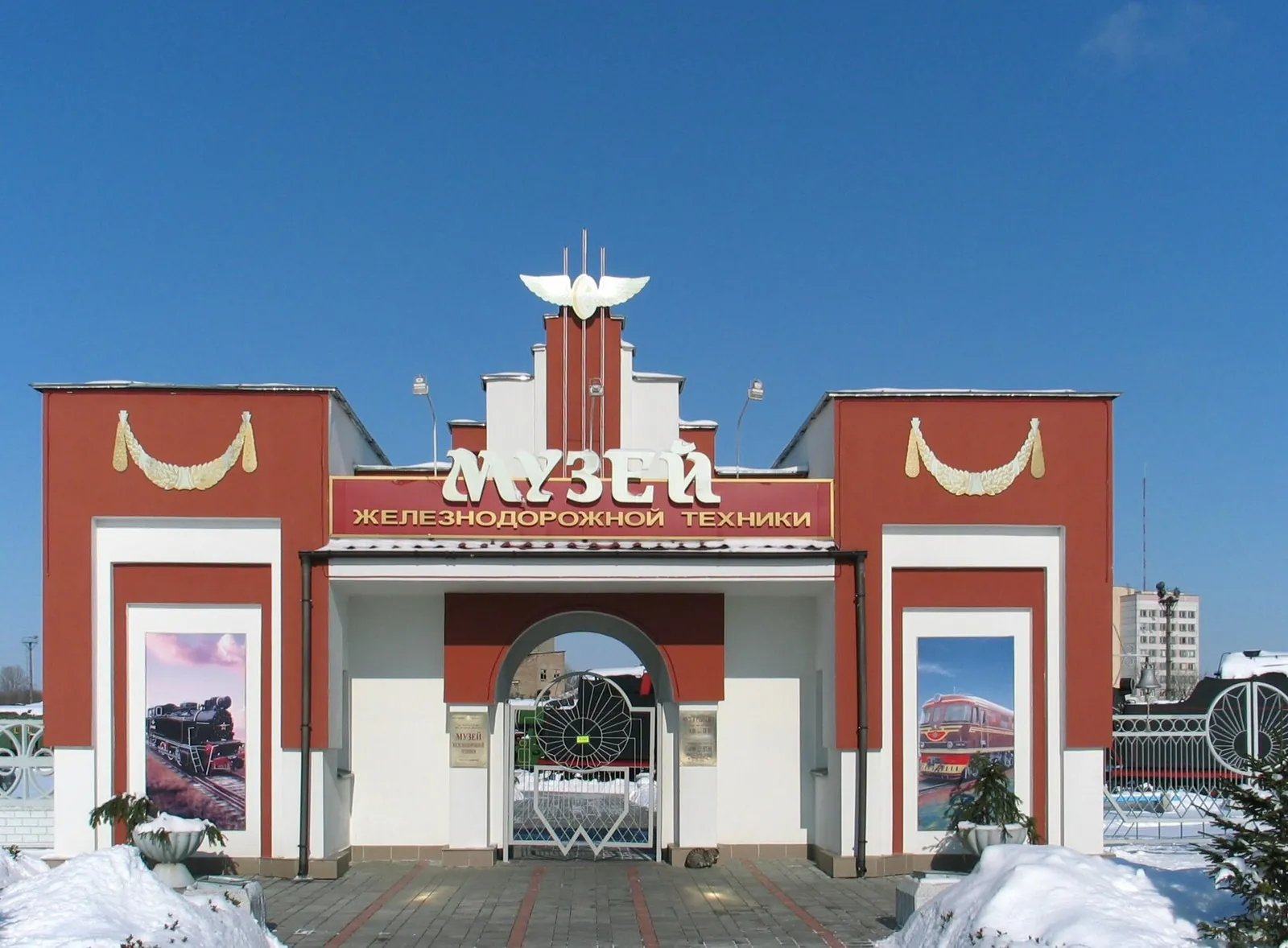
The railway museum and 1812 memorial stone provide specific reasons to linger in the fortress district between the two city edges.

22.0 km 85 +26 m Moderate
Spring Roads of the Minsk Region
✓ TrailTrack

Spring Roads of the Minsk Region

магазин · Hiking · Multi-day

Woodland is one of the route's main features along this 109.9 km point-to-point walking route. Gentle terrain: 100 m of total ascent over 109.9 km. Surface: asphalt plus concrete. Allow at least 5 days and verify overnight and exit options independently.

109.9 km 84 +100 m Hard
Pedalyery Team Route
✓ TrailTrack

Pedalyery Team Route

КП 4 · Hiking · Multi-day

Woodland is one of the route's main features along this 437.08 km point-to-point walking route. Gentle terrain: 315 m of total ascent over 437.08 km. Surface: asphalt. Allow at least 19 days and verify overnight and exit options independently.

437.1 km 84 +315 m Hard
Minsk Grand Circuit: Green Route
✓ TrailTrack

Minsk Grand Circuit: Green Route

КП3, Борисов, 165 · Bicycle · Multi-day

This 604.96 km point-to-point cycling route passes through terrain where woodland is one of the route's main features. Gentle terrain: 496 m of total ascent over 604.96 km. Surface: asphalt. Allow at least 8 days and verify overnight and exit options independently.

605.0 km 84 +496 m Hard
Volma Route
✓ TrailTrack

Volma Route

КП 3 Жодино 115км · Bicycle · Multi-day

The available data defines a 209.47 km circular cycling route; check the mapped line closely before setting out. Gentle terrain: 123 m of total ascent over 209.47 km. Surface: asphalt. Allow at least 3 days and verify overnight and exit options independently.

209.5 km 84 +123 m Hard
Slonim to Litovka via Ruzhany: Cycling beside Saints Peter and Paul Church and Chemerovka
✓ TrailTrack

Slonim to Litovka via Ruzhany: Cycling beside Saints Peter and Paul Church and Chemerovka

Bicycle · Multi-day

Link Saints Peter and Paul Church in Ruzhany with the Chemerovka near Litovka on a journey from Slonim. A church stop and a river encounter give individual reasons to pause, while planned stages leave time to enjoy them.

201.3 km 84 +352 m Hard
Grodno towards Mogilev: Lida Castle, Oshmyany and Hlybokaye
✓ TrailTrack

Grodno towards Mogilev: Lida Castle, Oshmyany and Hlybokaye

Grodno towards Mogilev: Lida Castle · Hiking · Multi-day

Move gradually from the Grodno region into northern and eastern Belarus, connecting Lida Castle, Oshmyany’s architecture and Hlybokaye’s lakeshore. It suits travellers interested in the roads between towns as well as their principal sights.

815.6 km 84 +465 m Hard
Legends of Belarus
✓ TrailTrack

Legends of Belarus

КП 1 Глубокое АЗС · Bicycle · Multi-day

The main recorded stops are Castle, making this a route to explore rather than rush through. Gentle terrain: 267 m of total ascent over 1001.33 km. Allow at least 14 days and verify overnight and exit options independently.

1001.3 km 84 +267 m Hard
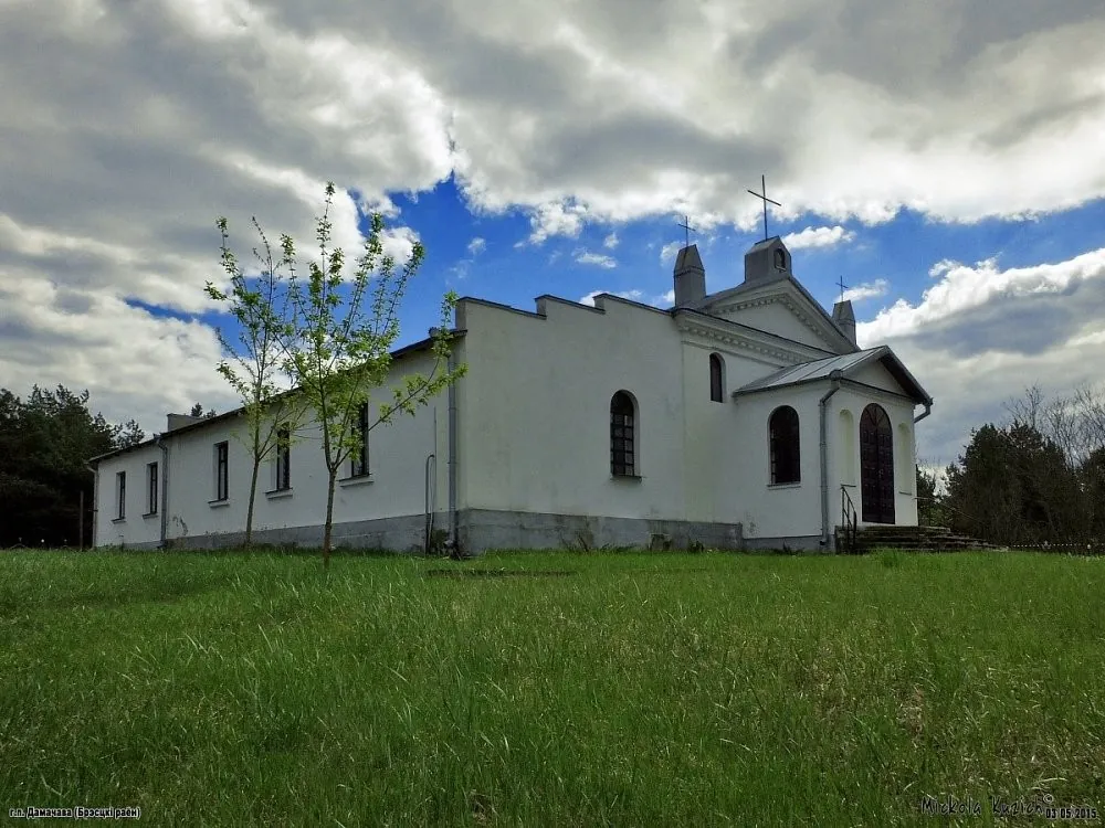
Domachevo: A Meeting Place of Three Cultures
✓ TrailTrack

Domachevo: A Meeting Place of Three Cultures

Bicycle · One-day

The recorded line is a 18.23 km circular cycling route, with the route includes sites with cultural context. Gentle terrain: 40 m of total ascent over 18.23 km. Surface: asphalt plus compacted ground. Estimated moving time is about 1.7 hours; add time for pauses and navigation.

18.2 km 84 +40 m Moderate
A Grand Ride through the Mogilev Region
✓ TrailTrack

A Grand Ride through the Mogilev Region

+ · Hiking · Multi-day

This 78.36 km circular walking route passes through terrain where shore or waterside sections are recorded on the route. Gentle terrain: 232 m of total ascent over 78.36 km. Surface: compacted ground plus asphalt. Allow at least 4 days and verify overnight and exit options independently.

78.4 km 83 +232 m Hard
Across the Mogilev Region
✓ TrailTrack

Across the Mogilev Region

Hiking · Multi-day

Expect shore or waterside sections are recorded on the route on this 976.79 km point-to-point walking route. Gentle terrain: 96 m of total ascent over 976.79 km. Allow at least 41 days and verify overnight and exit options independently.

976.8 km 83 +96 m Hard
Back Page 9 of 27 Next