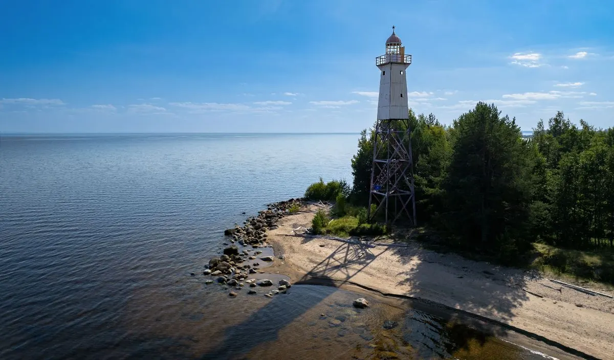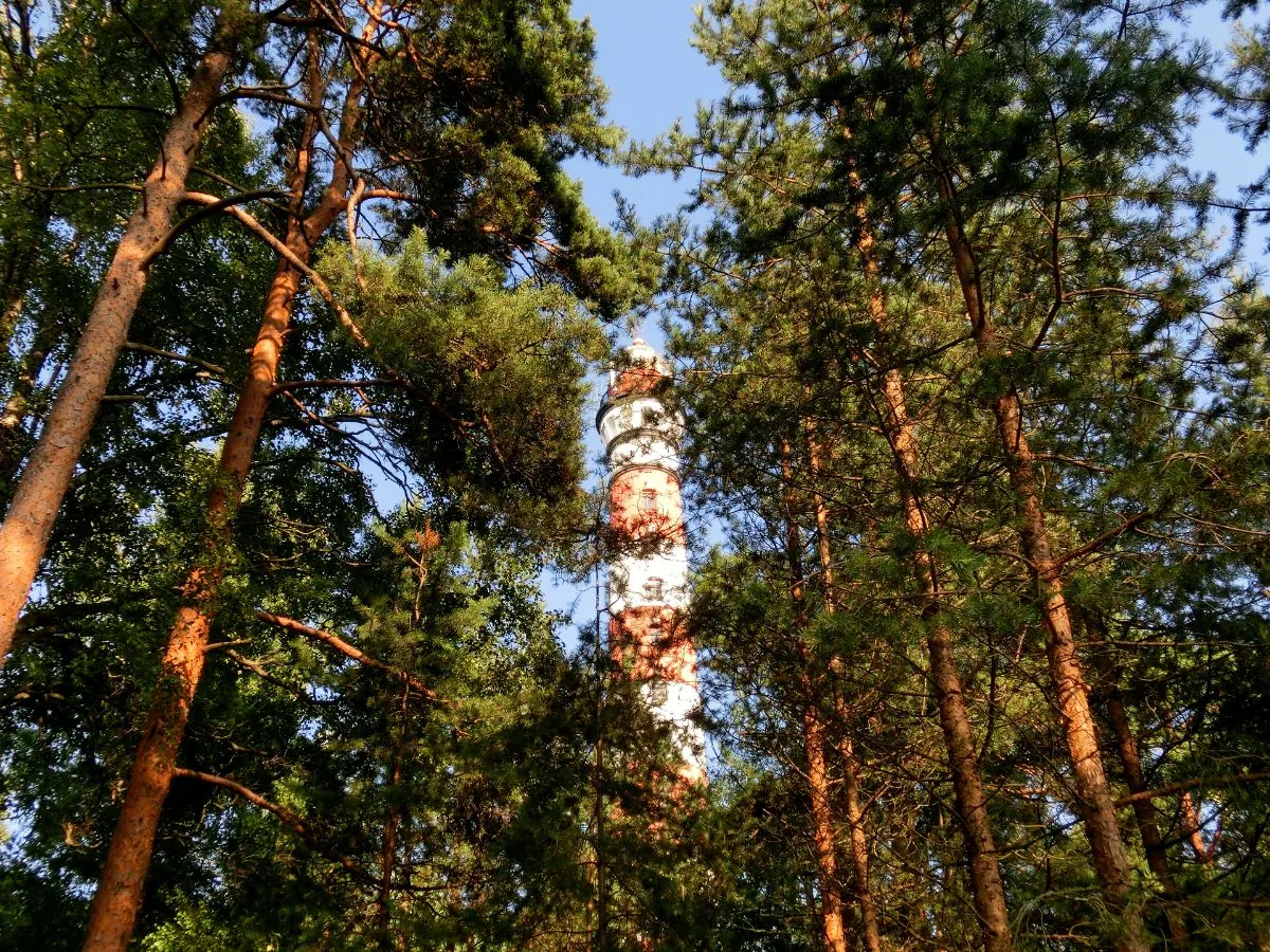
Osinovets Lighthouse and Lake Ladoga Station
A scenic route in Lake Ladoga and the north-east of Leningrad Region where access, distance and terrain can be planned in advance without losing the feeling of a real walk.
Verified routes with descriptions, difficulty, surface details and trip planning.
A scenic route in Lake Ladoga and the north-east of Leningrad Region where access, distance and terrain can be planned in advance without losing the feeling of a real walk.
A practical route for discovering Moscow and the north-east of Moscow Region: about 155.6 km, recognisable landmarks and a landscape that changes gradually along the way.
Экотропа «Дудергофские высоты» — компактный круговой маршрут по одному из самых выразительных рельефов Петербурга.
A full day walk of about 8 km through Lake Ladoga and the north-east of Leningrad Region, with the main interest in pine forest, sandy paths, stone piers and open lake shore.
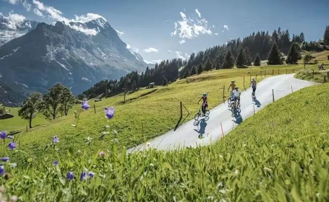
A long stage or multi-day section of about 59.7 km through the Bernese Oberland, with the main interest in valley paths, lake approaches, climbs and glacier panoramas.
A practical route for discovering Karelia and the Onega area: about 10.5 km, recognisable landmarks and a landscape that changes gradually along the way.
A scenic route in Toksovo and the northern suburbs of Saint Petersburg where access, distance and terrain can be planned in advance without losing the feeling of a real walk.
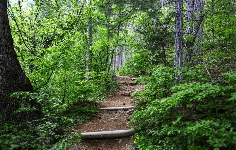
A scenic route in the Crimean Mountains where access, distance and terrain can be planned in advance without losing the feeling of a real walk.
This is a linear route of about 48.1 km in Ergaki Nature Park, suitable for travellers who want a clear route plan rather than a random walk.
A short outing of about 3.4 km through Toksovo and the northern suburbs of Saint Petersburg, with the main interest in forest paths, lakes, estate roads and suburban stations.
Тропа здоровья Хепоярви — длинный круговой маршрут в окрестностях Кавголово и Токсово.
This is a loop route of about 11.1 km in Karelia and the Onega area, suitable for travellers who want a clear route plan rather than a random walk.
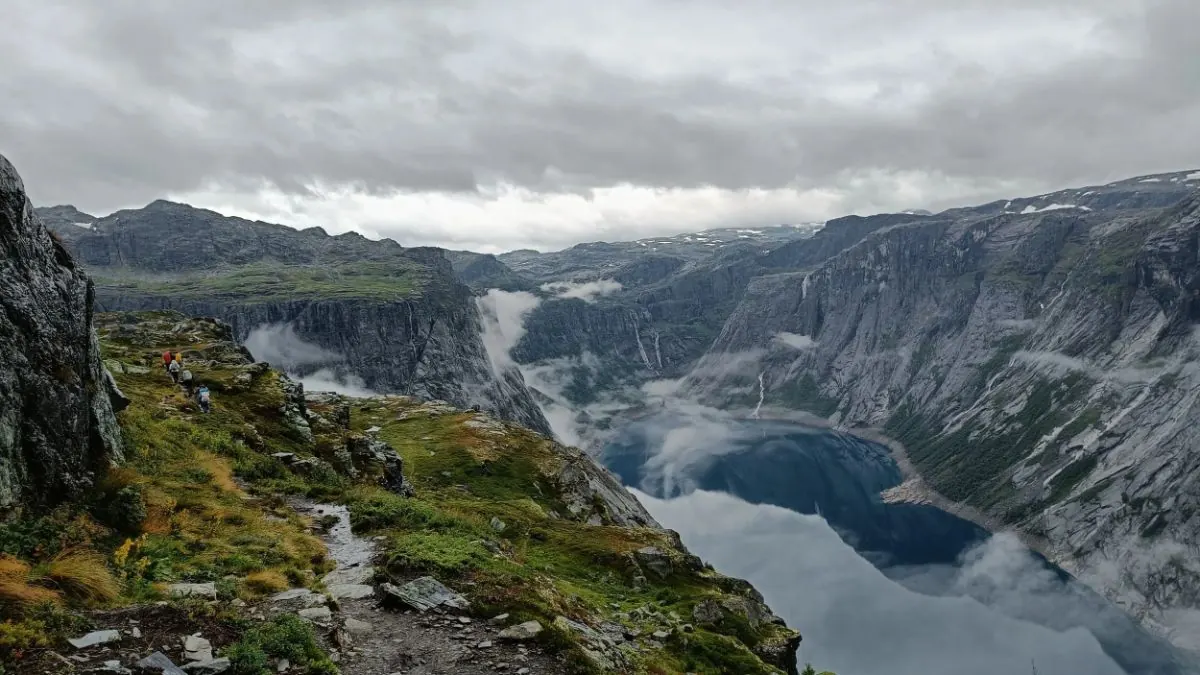
This is a linear route of about 10.7 km in Norwegian mountains and fjord valleys, suitable for travellers who want a clear route plan rather than a random walk.
A practical route for discovering the Central Caucasus: about 9.2 km, recognisable landmarks and a landscape that changes gradually along the way.
Вдоль реки Оредеж из Вырицы — протяжённый линейный маршрут по хорошим тропам, лесным дорогам и береговым участкам.
A practical route for discovering the Rila Mountains: about 27.6 km, recognisable landmarks and a landscape that changes gradually along the way.
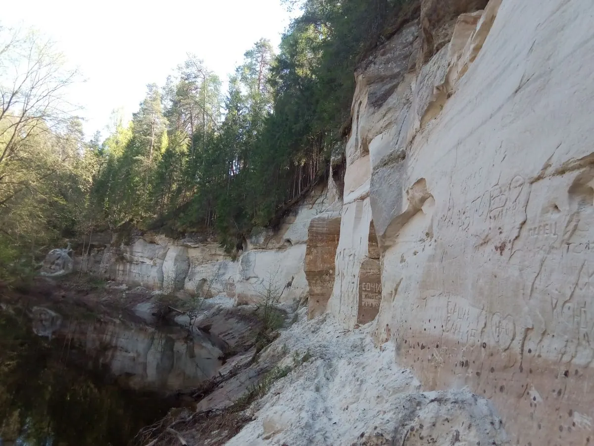
Каньон реки Ящера — круговой маршрут по лесам Лужского района к Белым, или Ящерским, скалам.
A practical route for discovering Borjomi-Kharagauli and the Lesser Caucasus: about 43.3 km, recognisable landmarks and a landscape that changes gradually along the way.
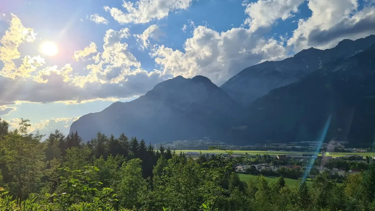
A short outing of about 5.5 km through Tyrol and the Innsbruck area, with the main interest in forest climbs, alpine meadows and sections near cable cars.
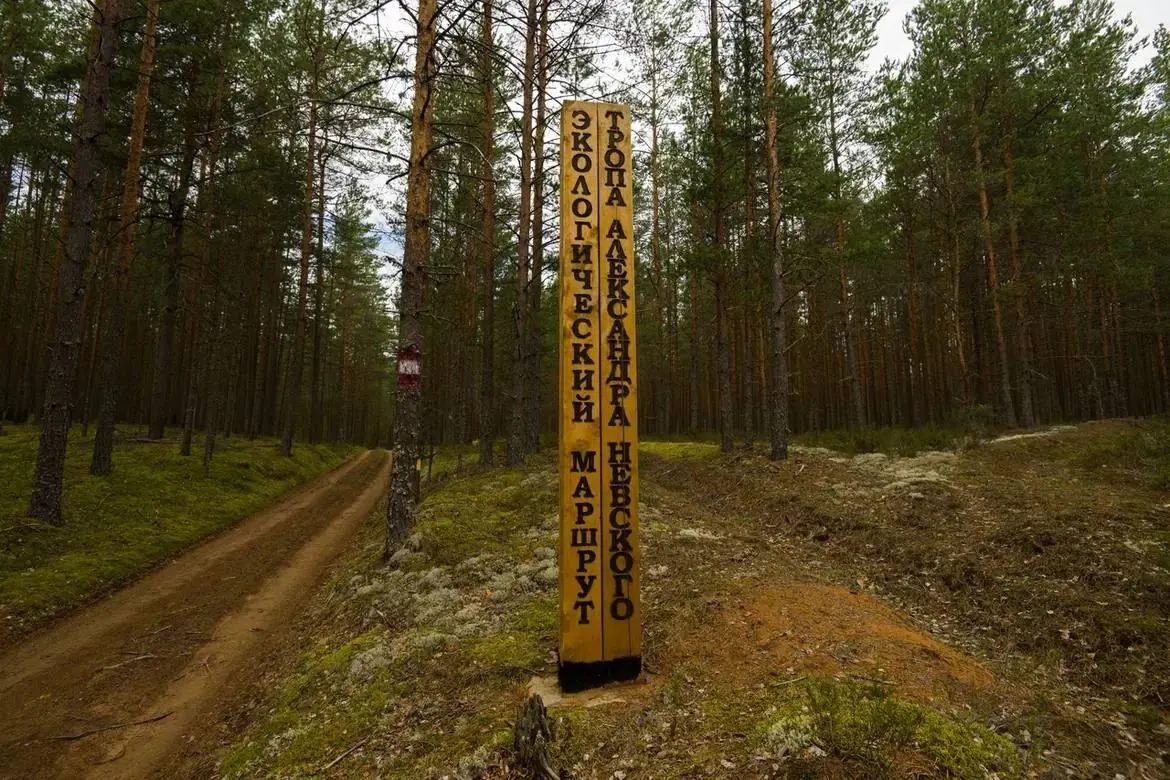
Экотропа «Тропа Александра Невского» — круговой маршрут по Сяберскому заказнику с историко-легендарным сюжетом.