Doroga v Lavru: peshii route ot Kremlia do Sergieva Posada
Notable places along the way include Moscow Kremlin, VDNKh, and Trinity Lavra of St Sergius. Old streets, historic buildings and places connected with the area’s past appear along the way.
Маршруты с подготовленным описанием, сложностью, покрытием и планированием визита.
Notable places along the way include Moscow Kremlin, VDNKh, and Trinity Lavra of St Sergius. Old streets, historic buildings and places connected with the area’s past appear along the way.
Key places on the way include Yauza River, Rostokino Aqueduct, and Yauza Park. The path repeatedly approaches lakes, rivers or the coast and opens up views across the water.
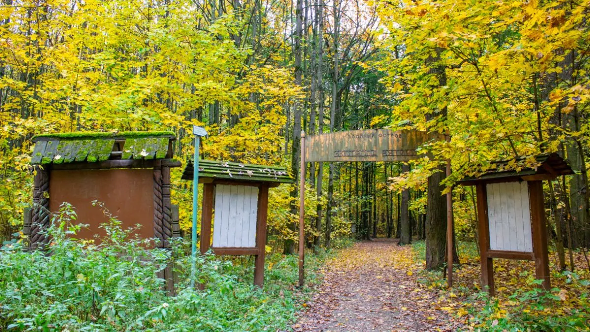
The point-to-point hiking route “Nature Trail Vyatichi” is approximately 1.7 km long. The route provides a ready-made line for exploring the area and the places named in the title. The start and finish are in different places, so return travel must be planned in advance. The line comes from an OpenStreetMap route relation and is not evidence of a recent field check. Compare the GPX with a current map, forecast and local access rules before setting out.
The multi-section cycling route “Krasnogorsk Cross-Country Route” is approximately 2.0 km long. The track provides a ready-made cycling line through the area; the GPX does not establish surface quality or traffic levels. The file contains several lines or stages; select the intended sequence before departure. The line comes from an OpenStreetMap route relation and is not evidence of a recent field check. Compare the GPX with a current map, forecast and local access rules before setting out.
The multi-section hiking route “Borovsk — Vereya” is approximately 49.9 km long, with about 420 m of ascent from the GPX. The route provides a ready-made line for exploring the area and the places named in the title. The file contains several lines or stages; select the intended sequence before departure. The track is based on a published trail description; surface conditions and access should be checked before departure. Compare the GPX with a current map, forecast and local access rules before setting out.
The loop cycling route “Tayninskaya — Mytishchi Forest Park cycling loop” is approximately 35.3 km long, with about 70 m of ascent from the GPX. The track provides a ready-made cycling line through the area; the GPX does not establish surface quality or traffic levels. It returns to the starting point. The track comes from a published cycling-route collection; check current road and access conditions before riding. Compare the GPX with a current map, forecast and local access rules before setting out.
The point-to-point running route “Zhilyovo — Avangard” is approximately 50.9 km long, with about 260 m of ascent from the GPX. The track is useful for planning a long run or trail session, but it does not guarantee permanent marking or unrestricted access. The start and finish are in different places, so return travel must be planned in advance. This is a sports or training track; permanent waymarking is not guaranteed. Compare the GPX with a current map, forecast and local access rules before setting out.
The point-to-point running route “Opalikha — Pionerskaya — Version 2” is approximately 32.7 km long, with about 410 m of ascent from the GPX. The track is useful for planning a long run or trail session, but it does not guarantee permanent marking or unrestricted access. The start and finish are in different places, so return travel must be planned in advance. This is a sports or training track; permanent waymarking is not guaranteed. Compare the GPX with a current map, forecast and local access rules before setting out.
The point-to-point running route “New Year Marathon 2022-23 — Version 2” is approximately 42.3 km long, with about 600 m of ascent from the GPX. The track is useful for planning a long run or trail session, but it does not guarantee permanent marking or unrestricted access. The start and finish are in different places, so return travel must be planned in advance. This is a sports or training track; permanent waymarking is not guaranteed. Compare the GPX with a current map, forecast and local access rules before setting out.
The point-to-point running route “New Year Marathon — 2025” is approximately 41.1 km long, with about 300 m of ascent from the GPX. The track is useful for planning a long run or trail session, but it does not guarantee permanent marking or unrestricted access. The start and finish are in different places, so return travel must be planned in advance. This is a sports or training track; permanent waymarking is not guaranteed. Compare the GPX with a current map, forecast and local access rules before setting out.
The multi-section hiking route “Protected Forest Trail” is approximately 1.8 km long. The route provides a ready-made line for exploring the area and the places named in the title. The file contains several lines or stages; select the intended sequence before departure. The line comes from an OpenStreetMap route relation and is not evidence of a recent field check. Compare the GPX with a current map, forecast and local access rules before setting out.
The point-to-point hiking route “Oktyabrsky Health Trail” is approximately 3.0 km long. The route provides a ready-made line for exploring the area and the places named in the title. The start and finish are in different places, so return travel must be planned in advance. The line comes from an OpenStreetMap route relation and is not evidence of a recent field check. Compare the GPX with a current map, forecast and local access rules before setting out.
The loop hiking route “Lake Bezdonnoye Nature Trail” is approximately 1.0 km long. The route provides a ready-made line for exploring the area and the places named in the title. It returns to the starting point. The line comes from an OpenStreetMap route relation and is not evidence of a recent field check. Compare the GPX with a current map, forecast and local access rules before setting out.
The multi-section hiking route “2012 Nature Trail” is approximately 3.3 km long. The route provides a ready-made line for exploring the area and the places named in the title. The file contains several lines or stages; select the intended sequence before departure. The line comes from an OpenStreetMap route relation and is not evidence of a recent field check. Compare the GPX with a current map, forecast and local access rules before setting out.
The loop hiking route “Vostochny Microdistrict Health Trail” is approximately 4.7 km long. The route provides a ready-made line for exploring the area and the places named in the title. It returns to the starting point. The line comes from an OpenStreetMap route relation and is not evidence of a recent field check. Compare the GPX with a current map, forecast and local access rules before setting out.
The multi-section hiking route “Kotlovka District Health Trail” is approximately 6.8 km long. The route provides a ready-made line for exploring the area and the places named in the title. The file contains several lines or stages; select the intended sequence before departure. The line comes from an OpenStreetMap route relation and is not evidence of a recent field check. Compare the GPX with a current map, forecast and local access rules before setting out.
The multi-section hiking route “Bunchikha Ravine (Belopesotsky to Zhilevo)” is approximately 30.8 km long, with about 230 m of ascent from the GPX. The route crosses mountain or strongly broken terrain, so distance alone does not represent the full physical or technical effort. The file contains several lines or stages; select the intended sequence before departure. The track is based on a published trail description; surface conditions and access should be checked before departure. Compare the GPX with a current map, forecast and local access rules before setting out.
The loop cross-country ski route “Master Loop” is approximately 7.6 km long. The line is intended for skiing once a stable snow cover has formed; the actual track may depend on the season and recent snowfall. It returns to the starting point. The line comes from an OpenStreetMap route relation and is not evidence of a recent field check. Compare the GPX with a current map, forecast and local access rules before setting out.
The multi-section cross-country ski route “Master Ski Trail — Forest Loop” is approximately 2.3 km long. The line is intended for skiing once a stable snow cover has formed; the actual track may depend on the season and recent snowfall. The file contains several lines or stages; select the intended sequence before departure. The line comes from an OpenStreetMap route relation and is not evidence of a recent field check. Compare the GPX with a current map, forecast and local access rules before setting out.
The loop cross-country ski route “Birch Grove Ski Trail” is approximately 2.7 km long. The line is intended for skiing once a stable snow cover has formed; the actual track may depend on the season and recent snowfall. It returns to the starting point. The line comes from an OpenStreetMap route relation and is not evidence of a recent field check. Compare the GPX with a current map, forecast and local access rules before setting out.
The loop cross-country ski route “Trud Youth Sports School Ski Trail” is approximately 4.4 km long. The line is intended for skiing once a stable snow cover has formed; the actual track may depend on the season and recent snowfall. It returns to the starting point. The line comes from an OpenStreetMap route relation and is not evidence of a recent field check. Compare the GPX with a current map, forecast and local access rules before setting out.
The loop cross-country ski route “Short Loop — Klimovsk” is approximately 1.1 km long. The line is intended for skiing once a stable snow cover has formed; the actual track may depend on the season and recent snowfall. It returns to the starting point. The line comes from an OpenStreetMap route relation and is not evidence of a recent field check. Compare the GPX with a current map, forecast and local access rules before setting out.
The loop cross-country ski route “Green Loop — Klimovsk” is approximately 2.2 km long. The line is intended for skiing once a stable snow cover has formed; the actual track may depend on the season and recent snowfall. It returns to the starting point. The line comes from an OpenStreetMap route relation and is not evidence of a recent field check. Compare the GPX with a current map, forecast and local access rules before setting out.
The loop cross-country ski route “Red Loop — Klimovsk” is approximately 4.1 km long. The line is intended for skiing once a stable snow cover has formed; the actual track may depend on the season and recent snowfall. It returns to the starting point. The line comes from an OpenStreetMap route relation and is not evidence of a recent field check. Compare the GPX with a current map, forecast and local access rules before setting out.