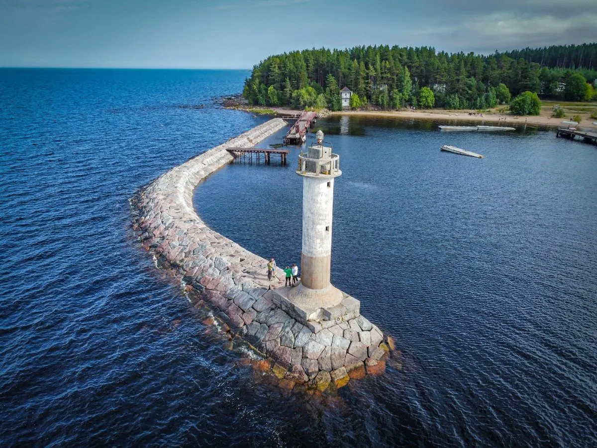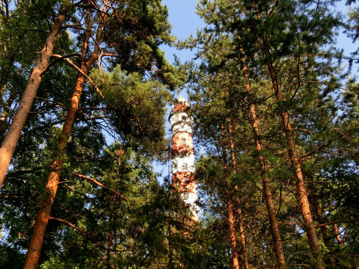
Osinovets Lighthouse and Lake Ladoga Station
A scenic route in Lake Ladoga and the north-east of Leningrad Region where access, distance and terrain can be planned in advance without losing the feeling of a real walk.
Verified routes with descriptions, difficulty, surface details and trip planning.
A scenic route in Lake Ladoga and the north-east of Leningrad Region where access, distance and terrain can be planned in advance without losing the feeling of a real walk.
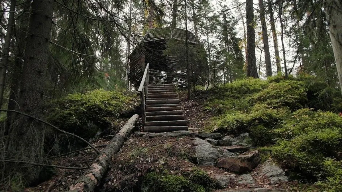
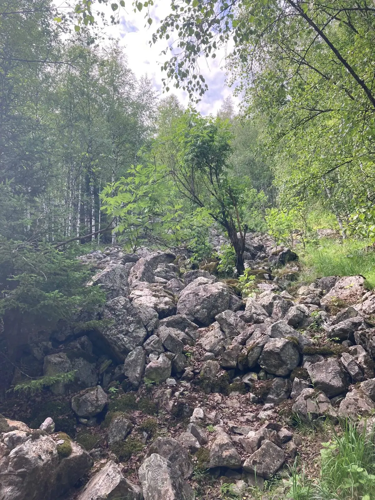
A long day route of about 38 km through Lake Ladoga and the north-east of Leningrad Region, with the main interest in pine forest, sandy paths, stone piers and open lake shore.
A scenic route in Lake Ladoga and the north-east of Leningrad Region where access, distance and terrain can be planned in advance without losing the feeling of a real walk.
A full day walk of about 8 km through Lake Ladoga and the north-east of Leningrad Region, with the main interest in pine forest, sandy paths, stone piers and open lake shore.
A scenic route in Moscow and the north-east of Moscow Region where access, distance and terrain can be planned in advance without losing the feeling of a real walk.
This is a loop route of about 13.6 km in the Southern Urals, suitable for travellers who want a clear route plan rather than a random walk.
A scenic route in Leningrad Region where access, distance and terrain can be planned in advance without losing the feeling of a real walk.
A scenic route in Toksovo and the northern suburbs of Saint Petersburg where access, distance and terrain can be planned in advance without losing the feeling of a real walk.
A scenic route in the Crimean Mountains where access, distance and terrain can be planned in advance without losing the feeling of a real walk.
This is a linear route of about 48.1 km in Ergaki Nature Park, suitable for travellers who want a clear route plan rather than a random walk.
A practical route for discovering the Southern Urals: about 21.6 km, recognisable landmarks and a landscape that changes gradually along the way.
This is a loop route of about 364.9 km in the pilgrimage routes of Spain and Portugal, suitable for travellers who want a clear route plan rather than a random walk.
A practical route for discovering Swedish Lapland: about 7.3 km, recognisable landmarks and a landscape that changes gradually along the way.
A scenic route in the pilgrimage routes of Spain and Portugal where access, distance and terrain can be planned in advance without losing the feeling of a real walk.
This is a linear route of about 44.7 km in the Tien Shan, suitable for travellers who want a clear route plan rather than a random walk.
This is a linear route of about 56.3 km in the Bernese Oberland, suitable for travellers who want a clear route plan rather than a random walk.
This is a linear route of about 70.7 km in Grodno Region and the Augustow Canal, suitable for travellers who want a clear route plan rather than a random walk.
A practical route for discovering Krasnaya Polyana and Rosa Khutor: about 6.5 km, recognisable landmarks and a landscape that changes gradually along the way.
This is a linear route of about 149.1 km in the Southern Urals, suitable for travellers who want a clear route plan rather than a random walk.
This is a linear route of about 53 km in the central Pyrenees, suitable for travellers who want a clear route plan rather than a random walk.
This is a linear route of about 30.9 km in Tyrol and the Innsbruck area, suitable for travellers who want a clear route plan rather than a random walk.
This is a linear route of about 111.7 km in Norwegian mountains and fjord valleys, suitable for travellers who want a clear route plan rather than a random walk.
This is a linear route of about 49.9 km in Norwegian mountains and fjord valleys, suitable for travellers who want a clear route plan rather than a random walk.
This is a linear route of about 35.9 km in the Rila Mountains, suitable for travellers who want a clear route plan rather than a random walk.