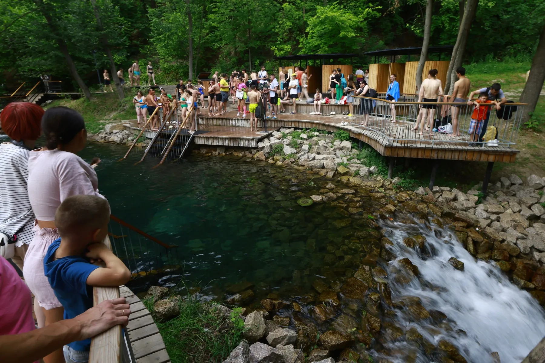

Blue Trail around Takmak
A practical route for discovering Krasnoyarsk Stolby National Park: about 5.5 km, recognisable landmarks and a landscape that changes gradually along the way.

- Distance
- 5.5 km
- Time
- 2 h 29 min
- Elevation gain
- 524 m
- Difficulty
- Moderate
- Route type
- One-day
- Category
- Hiking






 Route at a glance
This route links the most useful landmarks of the area - Central Stolby, Takmak, Bobrovy Log - into one clear itinerary. The length is about 5.5 km, with a linear layout and terrain that should be matched to the season.
Even on a compact route, it is worth checking the exact start point and return option so the walk stays relaxed.
 Route suitability
Without a car
Yes
With children
With caution
With a dog
With caution
By bike
No
With a stroller
No
Signal
Patchy
Information status
Page status
Проверенный маршрут
When checked
Not specified
How it was checked
По данным трека
Editorial review
Reviewed by editors
 Getting there
 Without a car
Use city transport or a taxi from Krasnoyarsk to the needed entrance: Central Stolby, Takmak, Bobrovy Log or the Kashtak trail.
 By car
Drive only to official park entrances and parking areas; the rest of the route is on foot.
 Parking
Use official parking near Bobrovy Log, Central Stolby, Takmak or other permitted areas. On weekends the closest spaces fill early.
What to expect
Blue Trail around Takmak
Central Stolby
Takmak
Bobrovy Log
forest climbs
Difficult sections and safety
Pay attention to junctions, wet surfaces and the return plan near Central Stolby. Some signs may be missing, so an offline map is useful.
How much time to allow
Easy day outing
2-4 h
With long stops
up to half a day
Best time to go
The best window around Central Stolby is usually late spring to early autumn
In the mountains, weather can change within an hour
In shoulder seasons, check snow, storms and local restrictions
What to bring
comfortable broken-in shoes
water and snacks
windbreaker or rain jacket
charged phone
offline map
small first-aid kit
Route markers
0
Elevation profile
There is no elevation data in the track for the chart.
 Surface
Dirt 100%
Surface is defined for 94% of the route.
Dirt
100% · 5.16 km
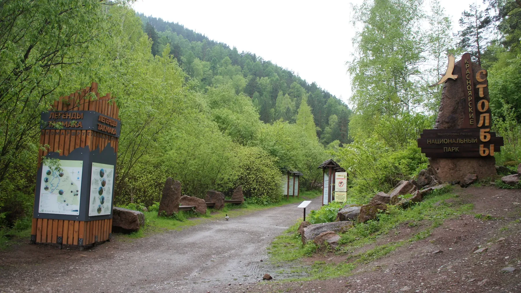
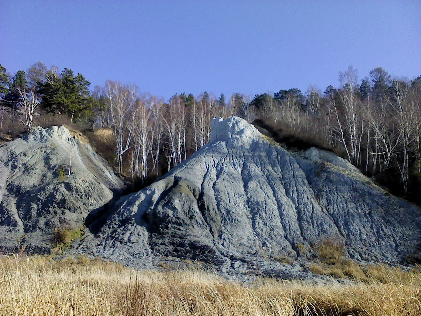
Route photos
4 photos
FAQ
Questions before the trip
Can I do this route without a car?
Use city transport or a taxi from Krasnoyarsk to the needed entrance: Central Stolby, Takmak, Bobrovy Log or the Kashtak trail
Is this route suitable for children?
Possible with caution: review the surface, difficult sections, and extra time for stops in advance.
Can I download GPX and KML?
Yes, GPX and KML are available on the route page. Open the map, download the file, and use it in a navigator before your trip; key route facts: 5.5 km, moderate.

Обсуждение
Комментарии 0
Войдите, чтобы читать обсуждение и оставлять комментарии.
Можно задать вопрос о маршруте, покрытии или поделиться своим опытом.