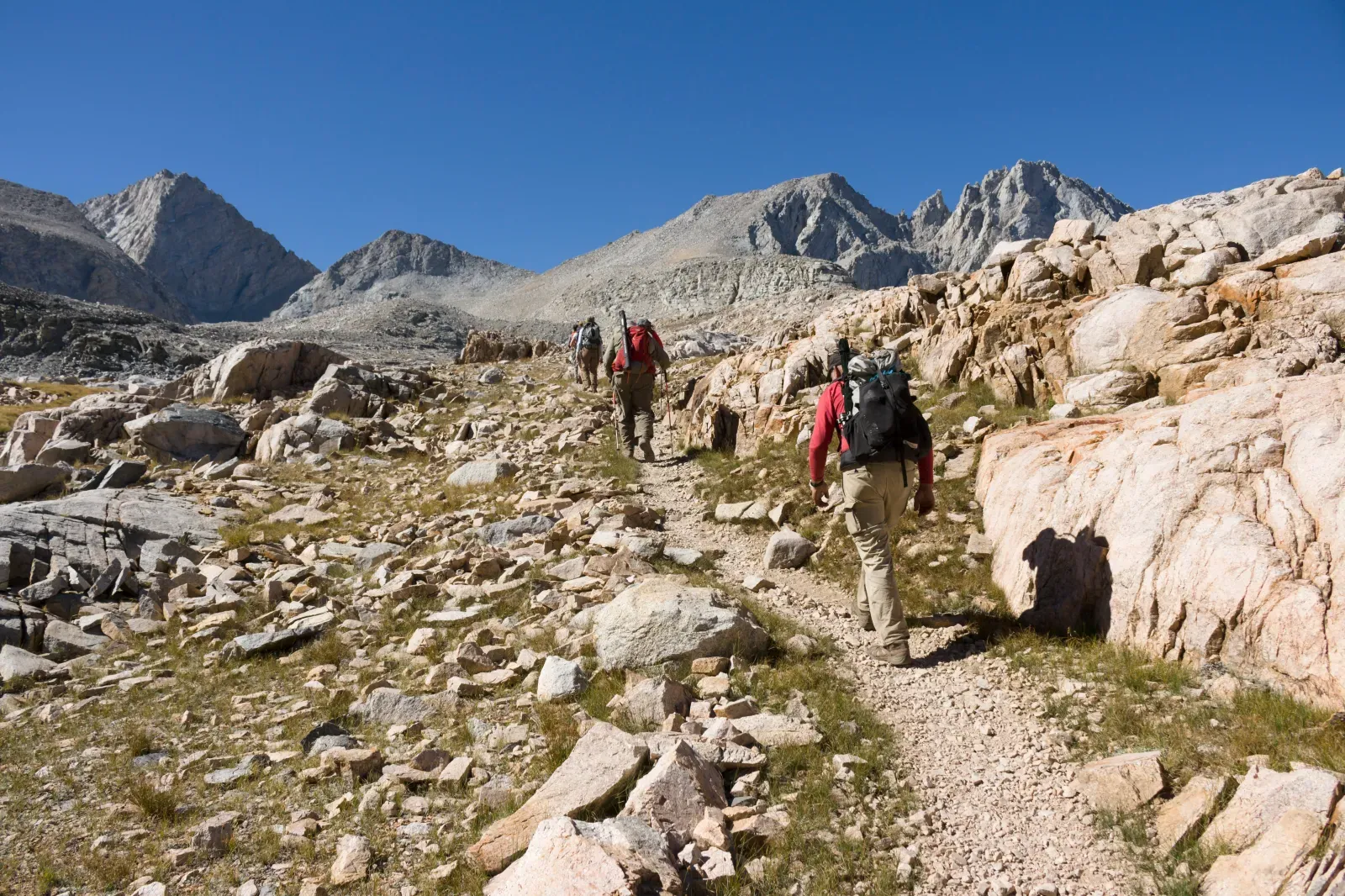

Norwegian Mountain Route: Nasjonal sykkelrute 6
This is a linear route of about 111.7 km in Norwegian mountains and fjord valleys, suitable for travellers who want a clear route plan rather than a random walk.

- Distance
- 111.7 km
- Time
- 10 h 10 min
- Elevation gain
- —
- Difficulty
- Moderate
- Route type
- Multi-day
- Category
- Hiking






 Route at a glance
Plan it as a long stage or multi-day section in Norwegian mountains and fjord valleys. The distance is about 111.7 km, and the route character is shaped by roads of varying quality, villages, climbs and mountain stops. The elevation profile should be checked on a relief map before the trip.
A bike makes the route faster, but it also requires a better plan for water, repairs and safe road crossings.
 Route suitability
Without a car
Hard
With children
No
With a dog
With caution
By bike
Yes
With a stroller
No
Signal
Patchy
Information status
Page status
Проверенный маршрут
When checked
Not specified
How it was checked
По данным трека
Editorial review
Reviewed by editors
 Getting there
 Without a car
Use buses, boats and transfers between valleys, mountain lodges and trail starts. Check schedules in advance.
 By car
It is easier to connect start and finish, but many routes are linear. In season, account for toll roads, parking and ferries.
 Parking
Use parking at mountain lodges, visitor centres and official trail starts. Popular Norwegian car parks are often paid.
What to expect
Nasjonal sykkelrute 6
Odda
Trolltunga
Jotunheimen
roads of varying quality
Difficult sections and safety
The main risks around Odda are wind, cold rain, fog and long gaps between services. Carry warm layers and do not rely on mobile signal everywhere.
How much time to allow
One long stage
7-10 h
Full route
several days
Cycling option
only for prepared riders
Best time to go
The most reliable season around Odda is usually July to September
Early in the season, snow and wet ground are possible
Wind, fog and cold rain can change the difficulty quickly
What to bring
comfortable broken-in shoes
water and snacks
windbreaker or rain jacket
charged phone
offline map
small first-aid kit
warm layer
hat and gloves even in summer
helmet
Route markers
0
Elevation profile
There is no elevation data in the track for the chart.
 Surface
Asphalt 70% · Compacted dirt 21% · Gravel 8%
Surface is defined for 99% of the route.
Asphalt
70% · 77.9 km
Compacted dirt
21% · 23.4 km
Gravel
8% · 9.38 km
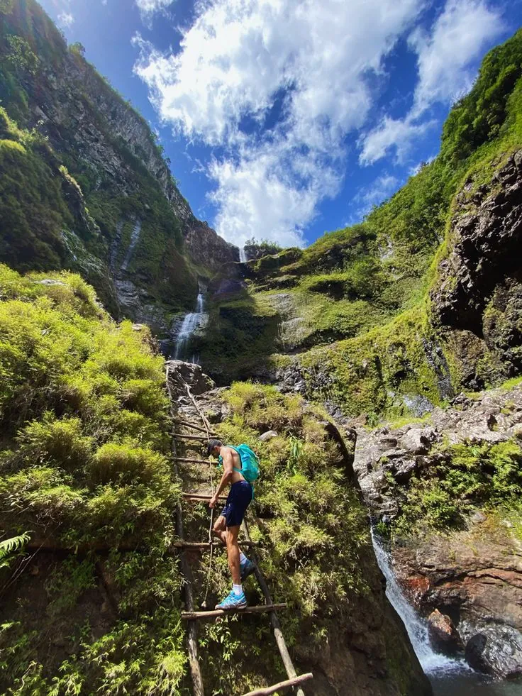
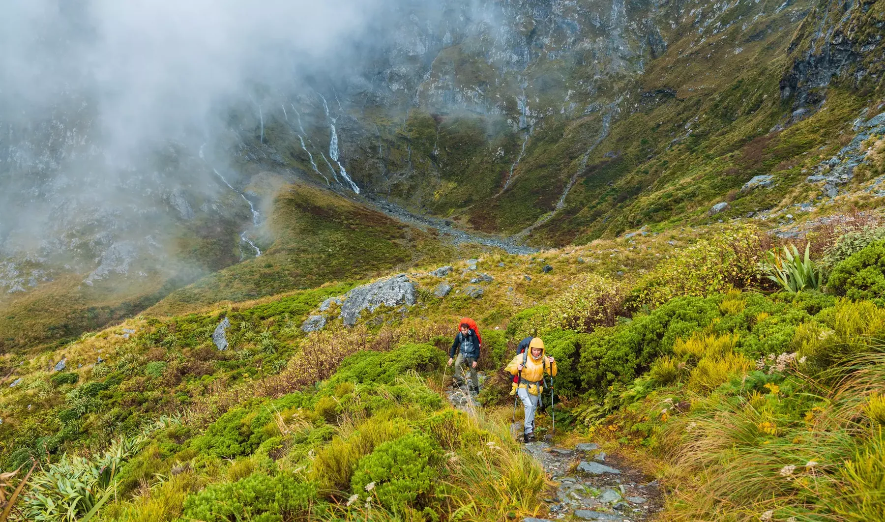
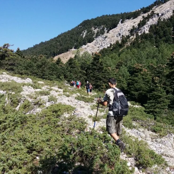
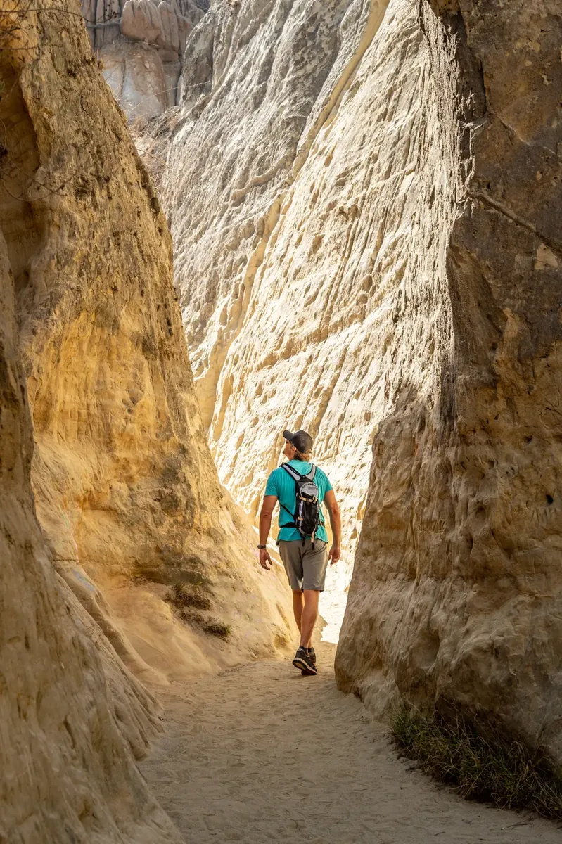
Route photos
8 photos
FAQ
Questions before the trip
Can I do this route without a car?
Use buses, boats and transfers between valleys, mountain lodges and trail starts. Check schedules in advance
Is this route suitable for children?
Do not treat this as a basic child-friendly route: check difficulty, length, and trail conditions before going.
Can I download GPX and KML?
Yes, GPX and KML are available on the route page. Open the map, download the file, and use it in a navigator before your trip; key route facts: 111.7 km, moderate.

Обсуждение
Комментарии 0
Войдите, чтобы читать обсуждение и оставлять комментарии.
Можно задать вопрос о маршруте, покрытии или поделиться своим опытом.