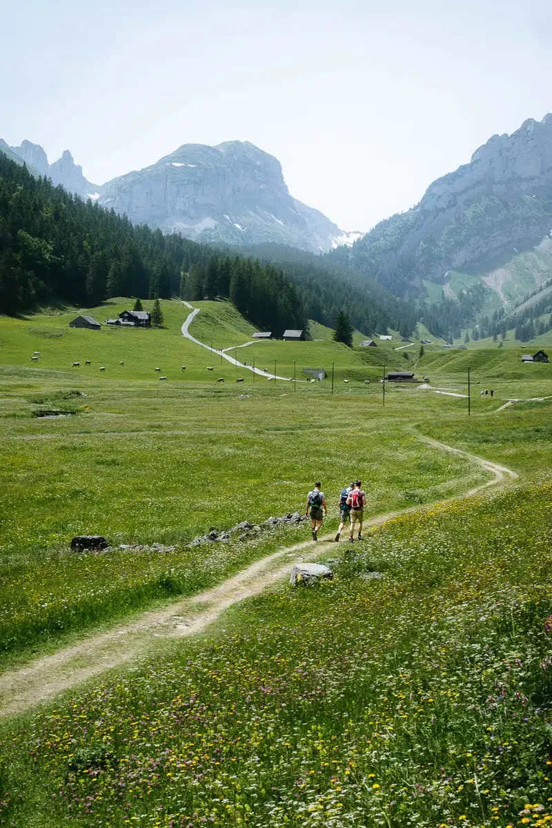


Tsentral'noal'piiskii route
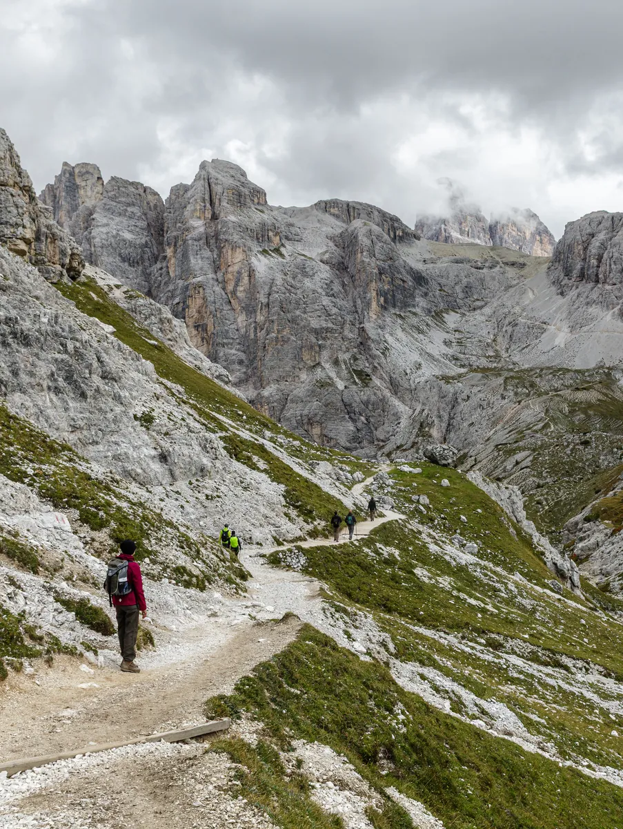
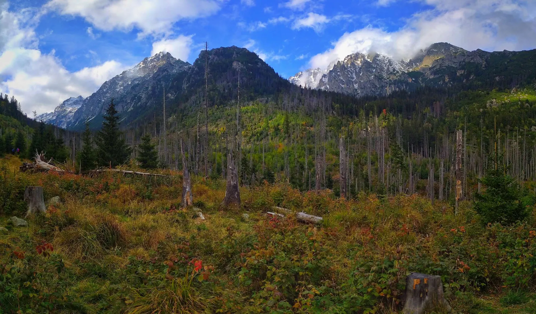
Among the main landmarks are Grossarl Valley and Hüttschlag. Woodland and valley sections gradually give way to mountain meadows, rocky slopes and open views
 Open on map
 Download route

Route status
Added from a track обновление неизвестно No recent trail condition reports
Подробнее о данных маршрута
This route was added from a track. Individual sections have not been checked in the field.
Перед поездкой проверьте доступность тропы, ограничения и прогноз погоды.
Conditions may have changed. Share a report after completing the route.
Последние прохождения
Станьте первым, кто подтвердит прохождение и поможет другим путешественникам.
 Elevation profile
There is no elevation data in the track for the chart.
 Surface
Dirt 8% · Asphalt 8% · Gravel 5% · Не определено 72%
Покрытие определено для 358.5 km из 1270.0 km; оставшаяся часть трека пока не классифицирована.
Before you go
Подготовка к маршруту
 Route at a glance
Route suitability
 Without a car
Hard
With children
No
With a dog
With caution
By bike
No
With a stroller
No
Signal
Patchy
Without a car
Hard
With children
No
With a dog
With caution
By bike
No
With a stroller
No
Signal
Patchy
 Getting there
 Without a car
 By car
Parking
By car
Parking
What to expect
Grossarl Valley
Hüttschlag
Central Alpine Trail
 Difficult sections and safety
 How much time to allow
Расчёт учитывает дистанцию и набор высоты. Добавьте запас на отдых, погоду и навигацию.
Best time to go
Recommended weather window: June–September
Snow and cold may remain at elevation long after the valleys become mild
Start early and keep enough daylight for the descent or the final approach
What to bring
shoes with grippy soles
water and food
a charged phone with an offline map
a small first-aid kit
windproof and waterproof layers
extra food and a power bank
overnight equipment appropriate for the itinerary
FAQ
Questions before the trip
Can I do this route without a car?
Reach Grossarl and Hüttschlag by the main available train or bus connection, then continue to the start of “Central Alpine Trail” by local bus, shuttle, taxi or on foot as appropriate. Check seasonal timetables before travelling
Is this route suitable for children?
Do not treat this as a basic child-friendly route: check difficulty, length, and trail conditions before going.
Can I download GPX and KML?
Yes, GPX and KML are available on the route page. Open the map, download the file, and use it in a navigator before your trip; key route facts: 1270.0 km, moderate.
 22.3 km
Обсуждение
Комментарии 0
Войдите, чтобы читать обсуждение и оставлять комментарии.
Можно задать вопрос о маршруте, покрытии или поделиться своим опытом.