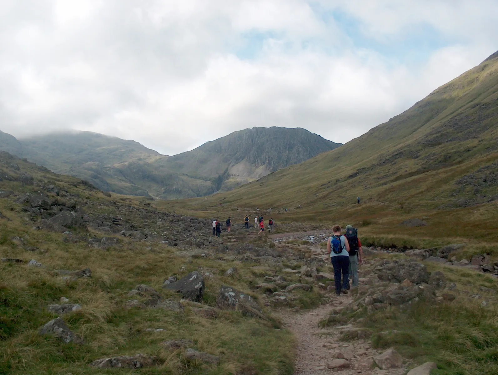


Seatoller, Styhead Tarn and Grains Gill Walk
This is a circular walking route following the recorded track. Recorded figures: 11.2 km and 1248 m of ascent
 Open on map
 Download route

Route status
Added from a track update date unknown No recent trail condition reports
About the route data
This route was added from a track. Individual sections have not been checked in the field.
Before travelling, check trail access, restrictions and the weather forecast.
Conditions may have changed. Share a report after completing the route.
Recent completions
Be the first to confirm a completion and help other travellers.
 Elevation profile
There is no elevation data in the track for the chart.
 Surface
Compacted dirt 22% · Asphalt 11% · Dirt / grass 2% · Unknown 65%
Surface data covers 3.87 km of 11.2 km; the rest of the track is not yet classified.
Before you go
Preparing for the route
 Route at a glance
Route suitability
 Without a car
No verified data
With children
Check distance and terrain
With a dog
Check local restrictions
By bike
Not verified
With a stroller
Not verified
Mobile signal
No verified data
Without a car
No verified data
With children
Check distance and terrain
With a dog
Check local restrictions
By bike
Not verified
With a stroller
Not verified
Mobile signal
No verified data
 Getting there
 Without a car
 By car
Parking
By car
Parking
What to expect
Seatoller — the route start
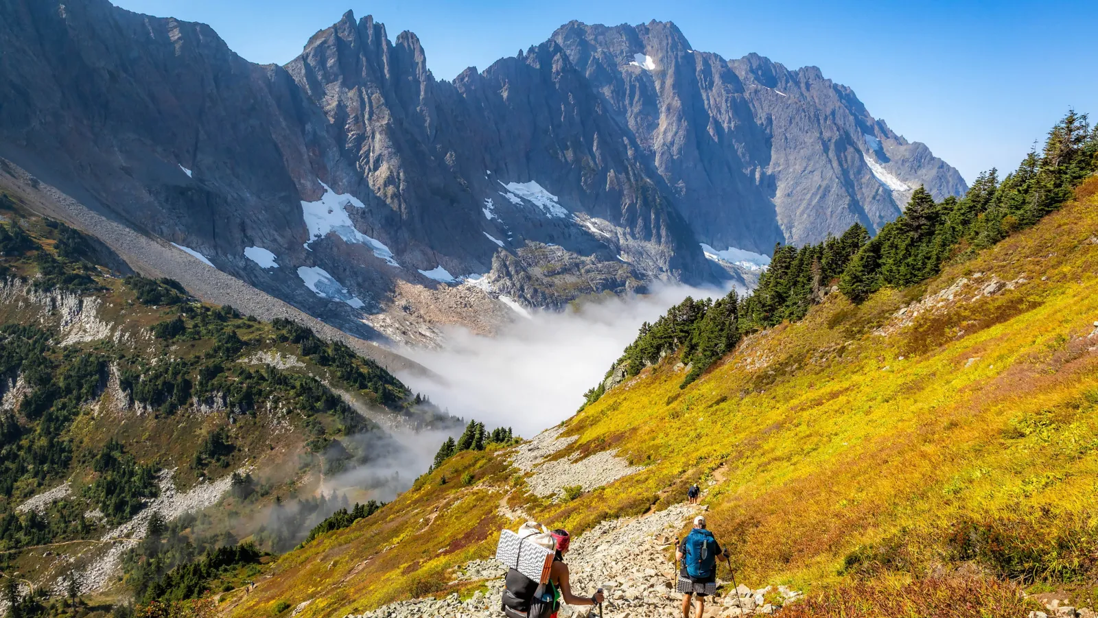
 Styhead Tarn — a mountain lake on the upper loop
Sprinkling Tarn — a second mountain lake on the route
Grains Gill — the mountain stream followed on the return
Great End — one of the peaks above the route
Styhead Tarn — a mountain lake on the upper loop
Sprinkling Tarn — a second mountain lake on the route
Grains Gill — the mountain stream followed on the return
Great End — one of the peaks above the route
 Difficult sections and safety
 How much time to allow
Best time to go
Seasonal conditions have not been verified by the editors. Check weather, trail conditions and daylight before setting out.
What to bring
Footwear with grip suited to the recorded surface
Water and food for the full route duration
A charged phone with the track saved offline
A wind or rain layer chosen for the current forecast
Nearby
FAQ
Questions before the trip
Can I do this route without a car?
A verified public transport plan has not been added yet. Before travelling, compare the start point on the map with the current timetable
Is this route suitable for children?
Do not treat this as a basic child-friendly route: check difficulty, length, and trail conditions before going.
Can I download GPX and KML?
Yes, GPX and KML are available on the route page. Open the map, download the file, and use it in a navigator before your trip; key route facts: 11.2 km, moderate.
Route photos
9 photos
 3.7 km
Discussion
Comments 0
Log in to read the discussion and leave comments.
Ask about the route or its surface, or share your experience.