
English Lakes Route: Wray to Blelham Tarn Circular Walk, Wray Castle
A scenic route in the Lake District where access, distance and terrain can be planned in advance without losing the feeling of a real walk.

- Distance
- 5.6 km
- Time
- 2 h 7 min
- Elevation gain
- 190 m
- Difficulty
- Moderate
- Route type
- One-day
- Category
- Hiking






 Route at a glance
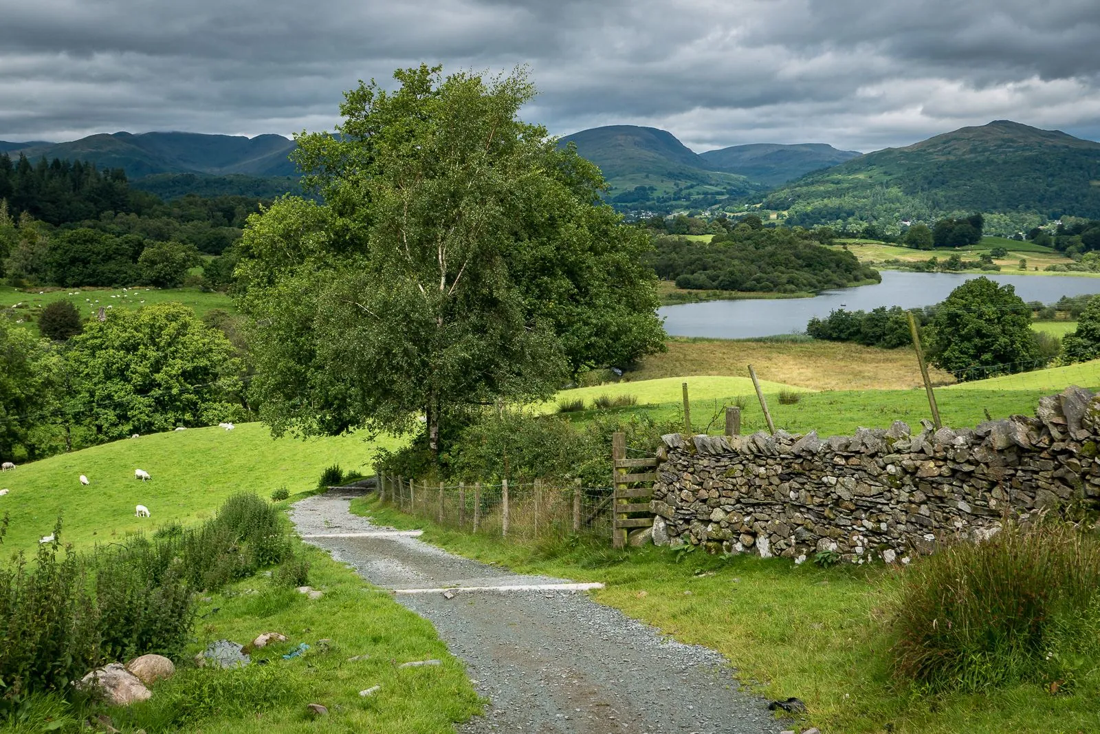
At about 7.9 km, this is not just a viewpoint stop but a complete route through the Lake District. Expect fells, lakes, stone walls, valleys and village paths; the relief is gentle, with elevations staying roughly between 45 and 102 m.
Keep a margin of daylight for the final part, especially if the route passes through forest, mountains or shore sections.
 Route suitability
Without a car
Hard
With children
С осторожностью
With a dog
С осторожностью
By bike
Нет
With a stroller
Нет
Signal
Местами
Information status
Page status
Проверенный маршрут
When checked
Not specified
How it was checked
По данным трека
Editorial review
Reviewed by editors
 Getting there
 Without a car
Use trains to Windermere, Penrith or Oxenholme and continue by bus or ferry to the relevant village or lakeshore stop.
 By car
Drive to the village, lake car park or fell access point. Narrow roads are common.
 Parking
Use official paid car parks in villages, lake areas and trailheads. Avoid blocking farm tracks.
What to expect
Wray to Blelham Tarn Circular Walk, Wray Castle
Keswick
Ambleside
Ullswater
fells
Difficult sections and safety
Near the water, wind and wet shore sections can slow the route. After rain, stones, roots and sand become more tiring than the distance suggests.
How much time to allow
Easy day outing
2-4 h
With long stops
up to half a day
Best time to go
The best window around Keswick is usually late spring to early autumn
In the mountains, weather can change within an hour
In shoulder seasons, check snow, storms and local restrictions
What to bring
comfortable broken-in shoes
water and snacks
windbreaker or rain jacket
charged phone
offline map
small first-aid kit
Route markers
0
Elevation profile
There is no elevation data in the track for the chart.
 Surface
Fine gravel 37% · Compacted dirt 28% · Asphalt 18%
The surface section length differs from the total route distance: 7.87 km versus 5.60 km.
Fine gravel
37% · 2.91 km
Compacted dirt
28% · 2.18 km
Asphalt
18% · 1.39 km
Dirt / grass
14% · 1.07 km
Gravel
4% · 0.30 km
Paving stones
1% · 0.02 km
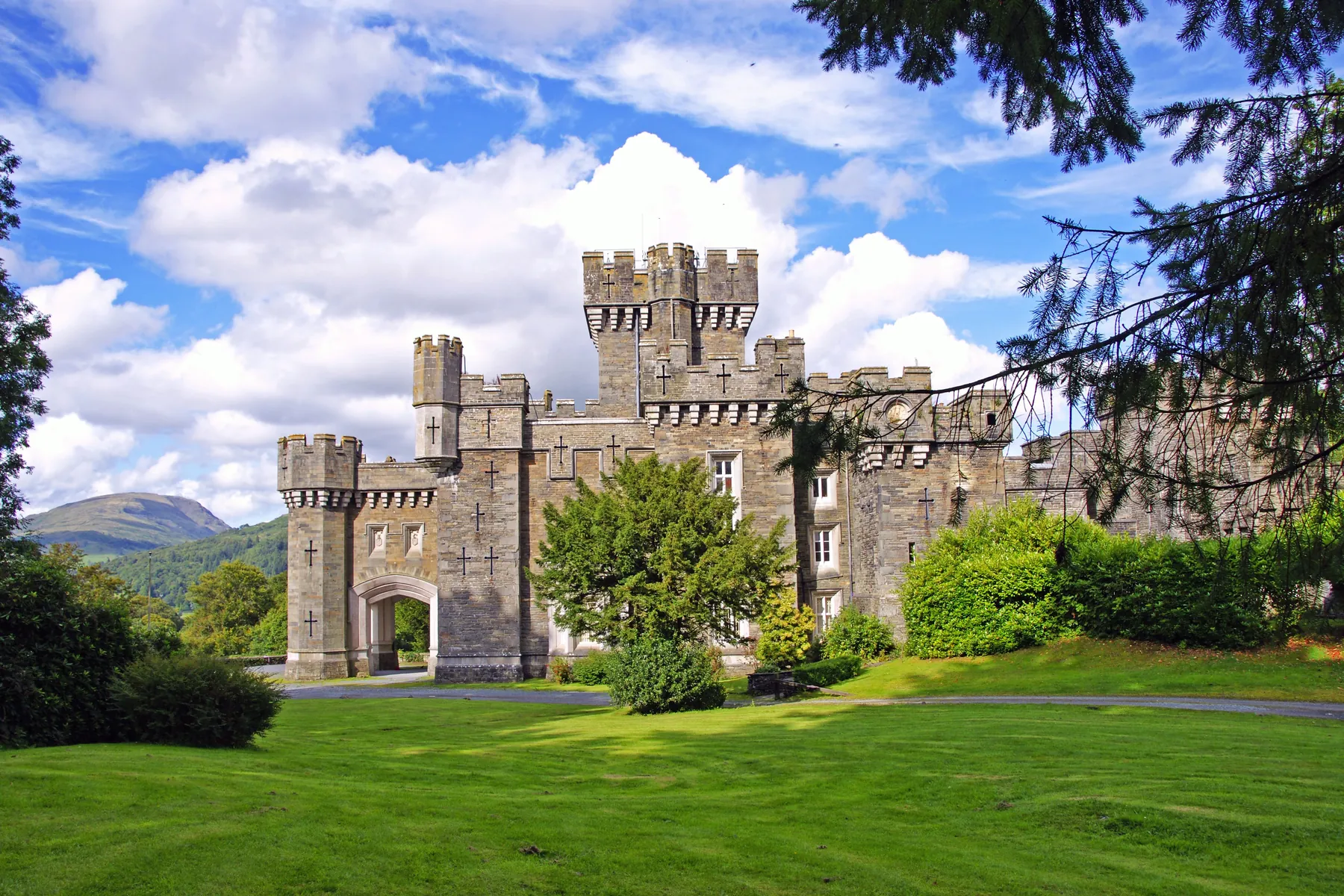
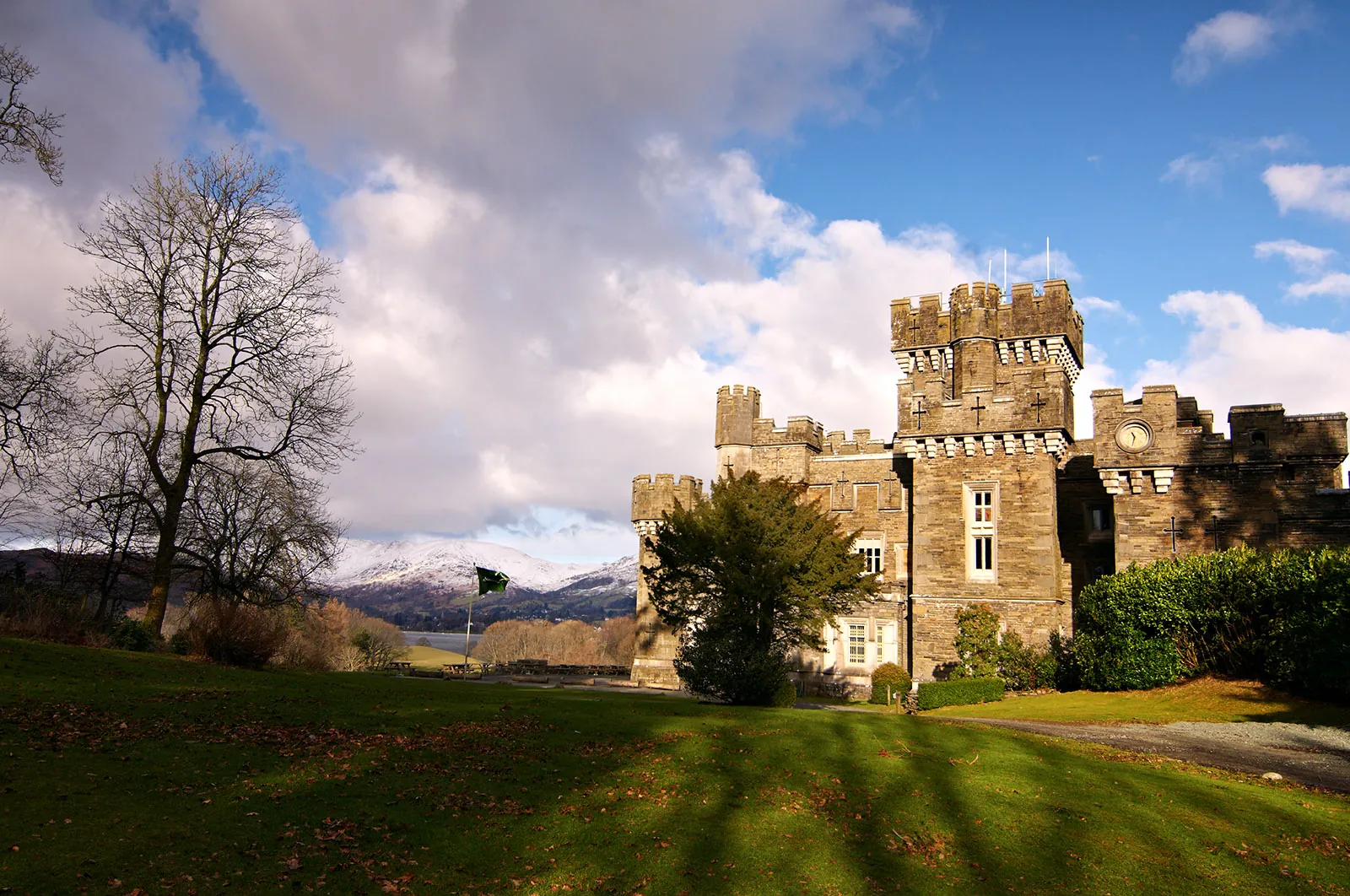
Route photos
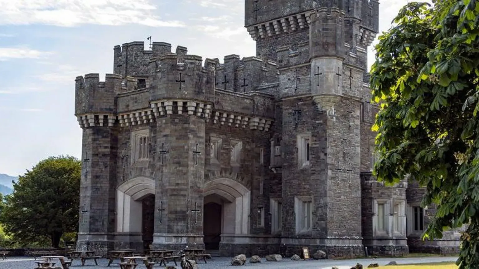
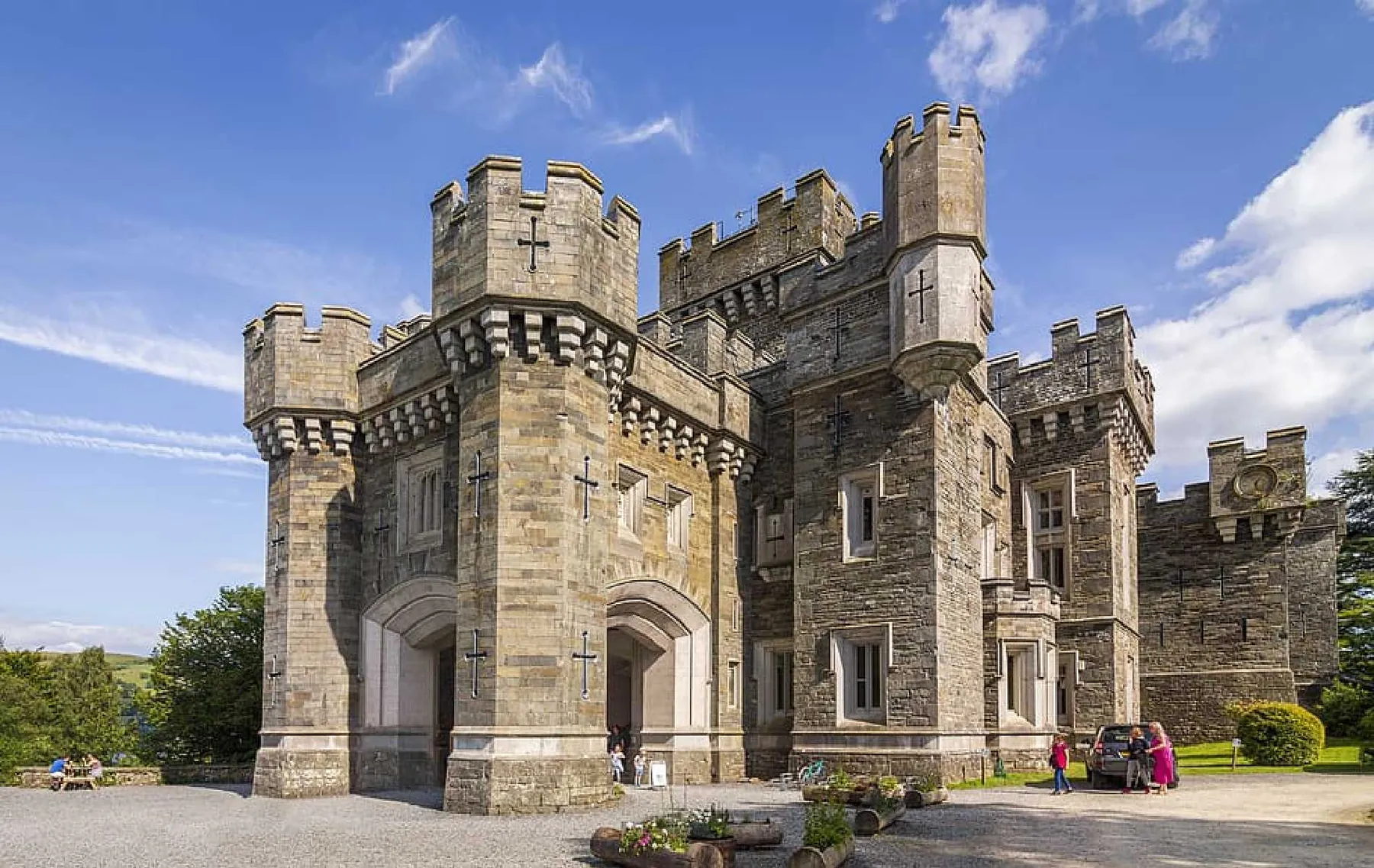
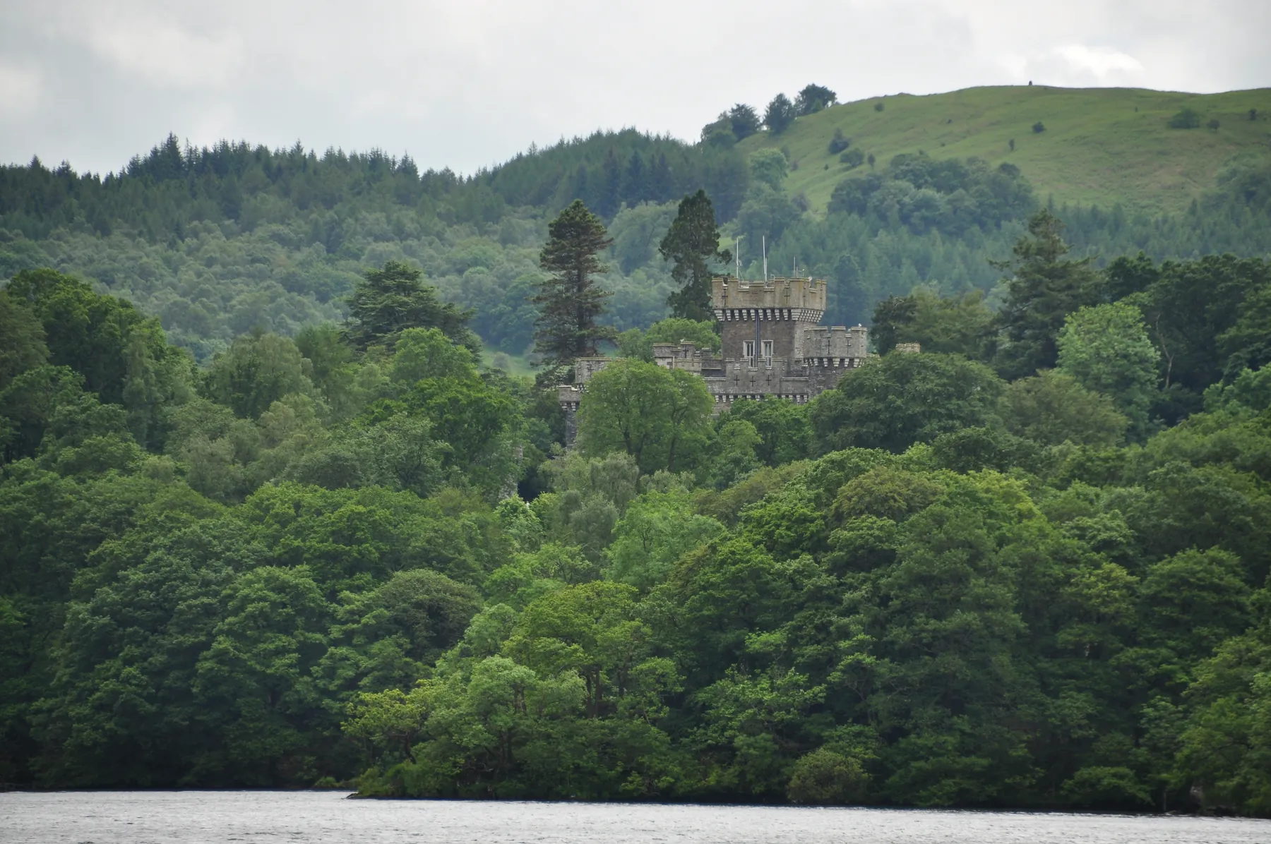
9 photos
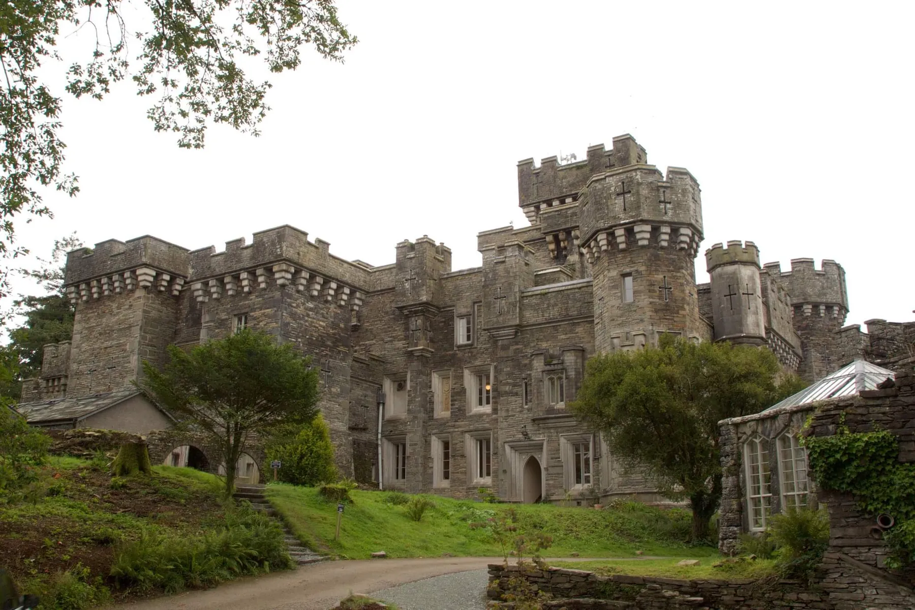
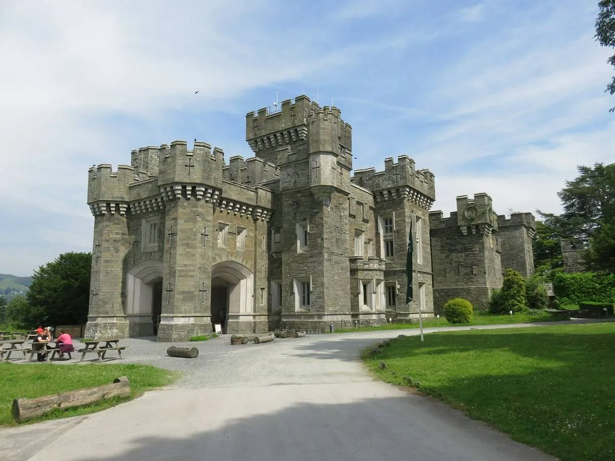
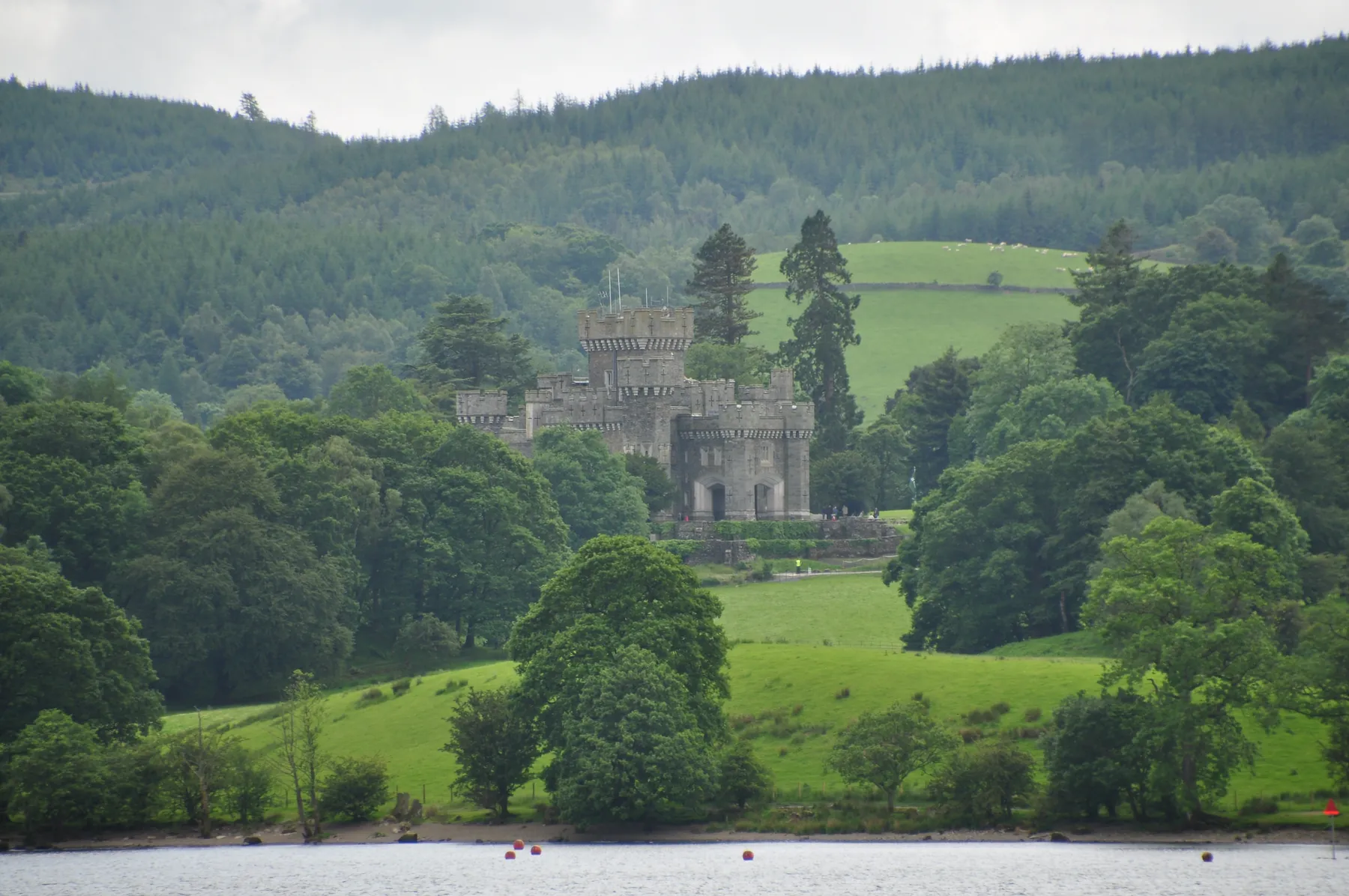
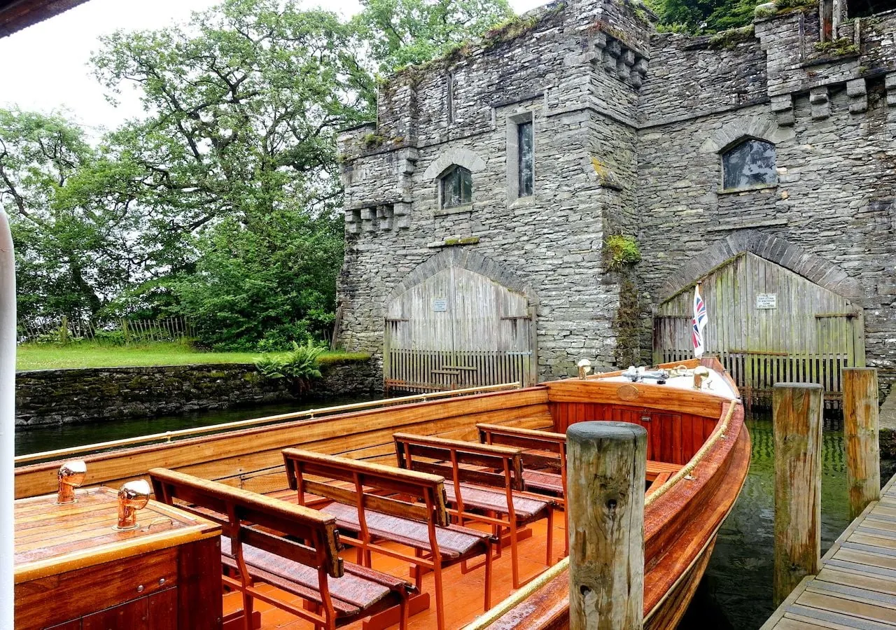
FAQ
Questions before the trip
Can I do this route without a car?
Use trains to Windermere, Penrith or Oxenholme and continue by bus or ferry to the relevant village or lakeshore stop
Is this route suitable for children?
Possible with caution: review the surface, difficult sections, and extra time for stops in advance.
Can I download GPX and KML?
Yes, GPX and KML are available on the route page. Open the map, download the file, and use it in a navigator before your trip; key route facts: 5.6 km, moderate.

Обсуждение
Комментарии 0
Войдите, чтобы читать обсуждение и оставлять комментарии.
Можно задать вопрос о маршруте, покрытии или поделиться своим опытом.