 TrailTrack route
 Hiking
 Crimea
 Multi-day
Mountain routes
Scenic views
History and places
Long routes
Multi-day
Mountain routes
Scenic views
History and places
Long routes
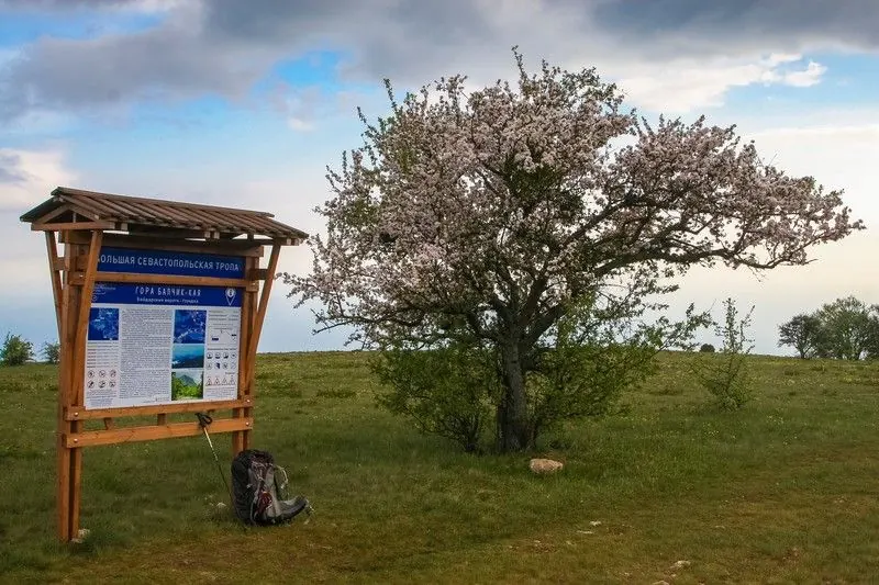
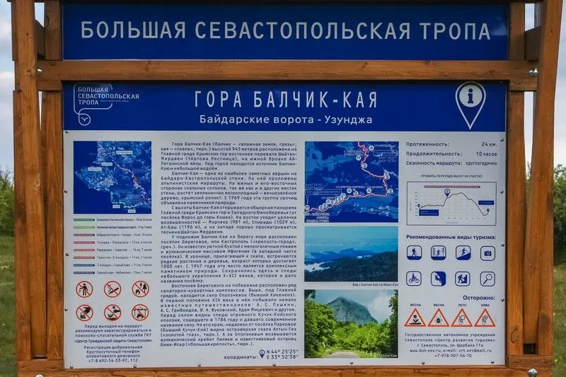
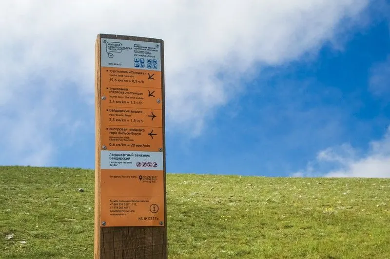
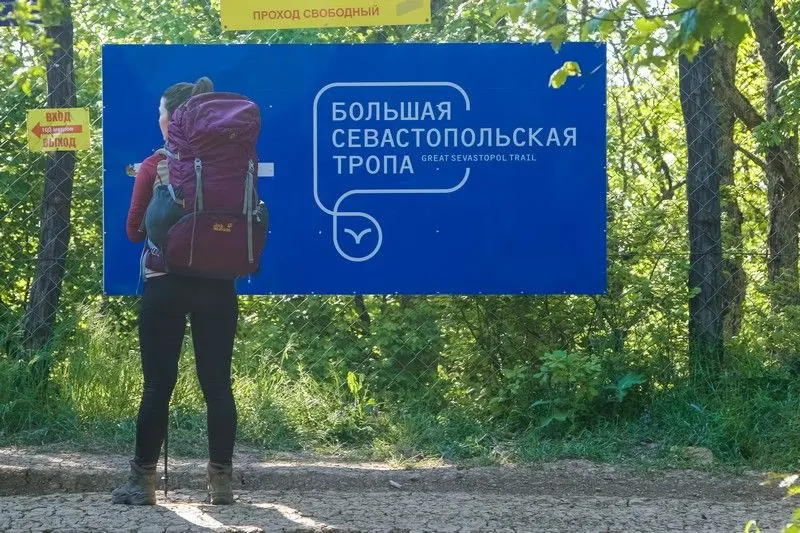
Great Sevastopol Trail
A practical route for discovering the Crimean Mountains: about 231 km, recognisable landmarks and a landscape that changes gradually along the way.

- Distance
- 120.8 km
- Time
- 2 d 12 h
- Elevation gain
- —
- Difficulty
- Hard
- Route type
- Multi-day
- Category
- Hiking




 Route at a glance
This route links the most useful landmarks of the area - Crimean Mountains, yayla plateaus, coast viewpoints - into one clear itinerary. The length is about 231 km, with a linear layout and terrain that should be matched to the season.
The logistics are part of the experience here: transport at both ends, food, water and overnight options should be checked before setting out.
 Route suitability
Without a car
Hard
With children
No
With a dog
With caution
By bike
No
With a stroller
No
Signal
Patchy
Information status
Page status
Проверенный маршрут
When checked
Not specified
How it was checked
По данным трека
Editorial review
Reviewed by editors
 Getting there
 Without a car
Use buses or taxis to the nearest town or mountain village, then walk from the trailhead.
 By car
Drive to the village, pass road or official trail access point, checking seasonal road conditions.
Parking
Use village parking, viewpoint parking or official trailhead areas.
What to expect
Great Sevastopol Trail
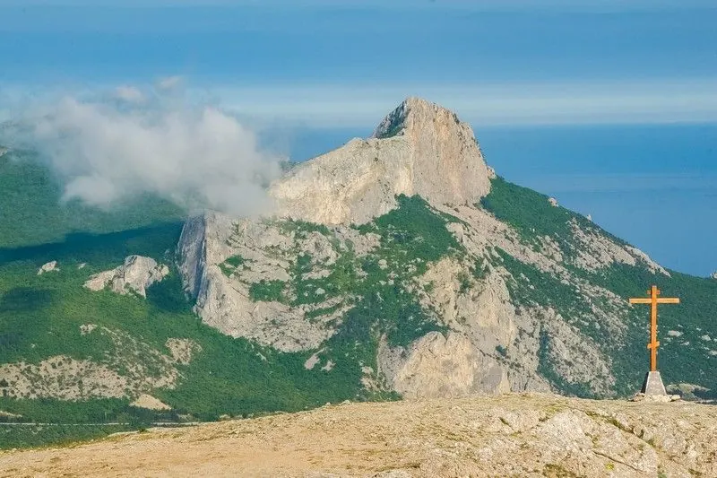
Crimean Mountains
yayla plateaus
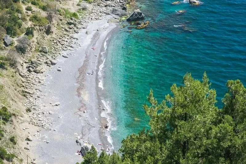
coast viewpoints
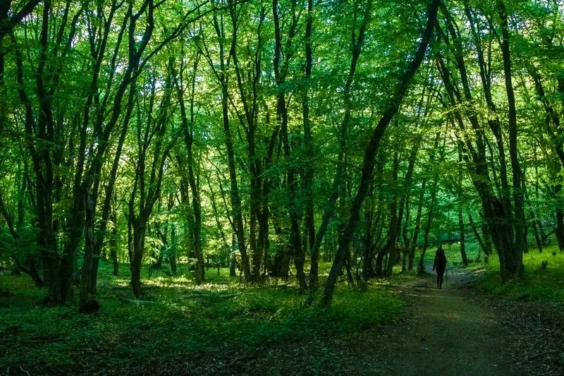
forest roads
Difficult sections and safety
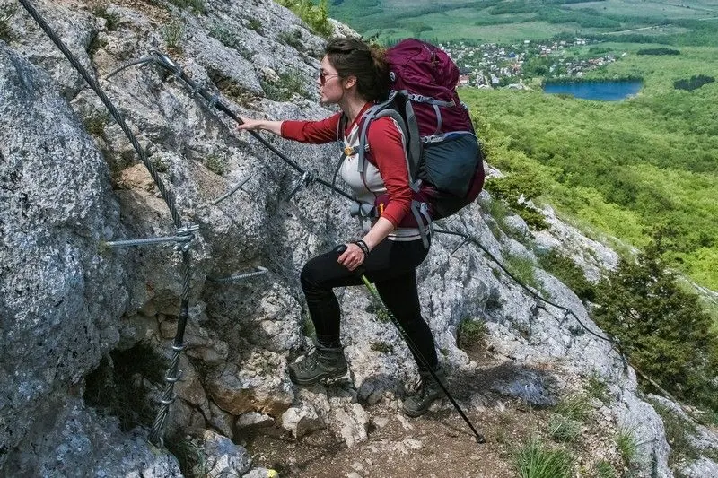
Sun, open slopes and slippery stone after rain are the main things to watch. Start early in hot weather and carry more water than usual.
How much time to allow
One long stage
7-10 h
Full route
several days
Cycling option
only for prepared riders
Best time to go
Spring and autumn are usually the most comfortable seasons around Crimean Mountains
In summer, start early and carry extra water
After heavy rain, stone and clay sections can be slippery
What to bring
comfortable broken-in shoes
water and snacks
windbreaker or rain jacket
charged phone
offline map
small first-aid kit
power bank
cash and documents
overnight gear if needed
Route markers
0
Elevation profile
There is no elevation data in the track for the chart.
 Surface
Dirt 39% · Dirt / grass 31% · Gravel 17%
Surface is defined for 37.1 km of 120.8 km.
Dirt
39% · 14.7 km
Dirt / grass
31% · 11.6 km
Gravel
17% · 6.19 km
Asphalt
5% · 2.02 km
Improved surface
5% · 1.87 km
Compacted dirt
2% · 0.68 km
Concrete
1% · 0.08 km
Paving stones
1% · 0.01 km
Route photos
9 photos

FAQ
Questions before the trip
Can I do this route without a car?
Use buses or taxis to the nearest town or mountain village, then walk from the trailhead
Is this route suitable for children?
Do not treat this as a basic child-friendly route: check difficulty, length, and trail conditions before going.
Can I download GPX and KML?
Yes, GPX and KML are available on the route page. Open the map, download the file, and use it in a navigator before your trip; key route facts: 120.8 km, hard.

Обсуждение
Комментарии 0
Войдите, чтобы читать обсуждение и оставлять комментарии.
Можно задать вопрос о маршруте, покрытии или поделиться своим опытом.