



Route status
Added from a track обновление неизвестно No recent trail condition reports
Подробнее о данных маршрута
This route was added from a track. Individual sections have not been checked in the field.
Перед поездкой проверьте доступность тропы, ограничения и прогноз погоды.
Conditions may have changed. Share a report after completing the route.
Последние прохождения
Станьте первым, кто подтвердит прохождение и поможет другим путешественникам.
 Elevation profile
There is no elevation data in the track for the chart.
 Surface
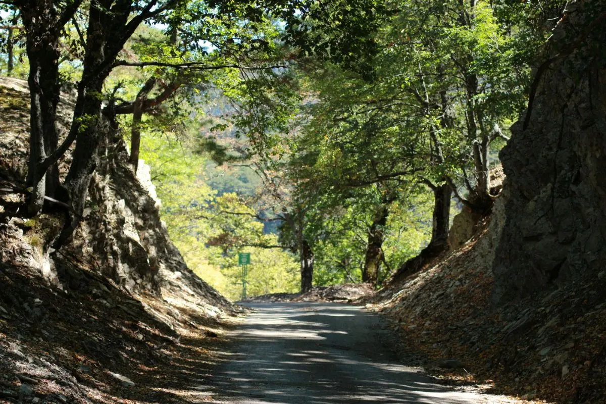
Asphalt 88% · Paving stones 1% · Не определено 12%
Покрытие определено для 47.5 km из 53.9 km; оставшаяся часть трека пока не классифицирована.
Before you go
Подготовка к маршруту
 Route at a glance
 Getting there
 Start
Finish
Route type
Start
Finish
Route type
What to expect
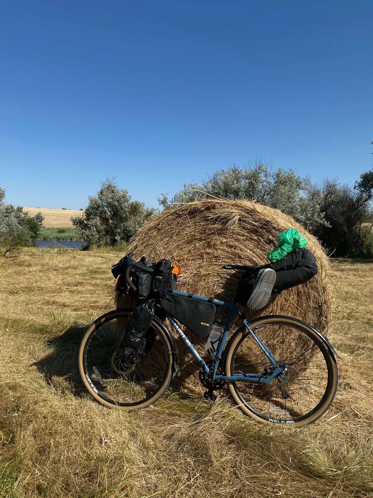
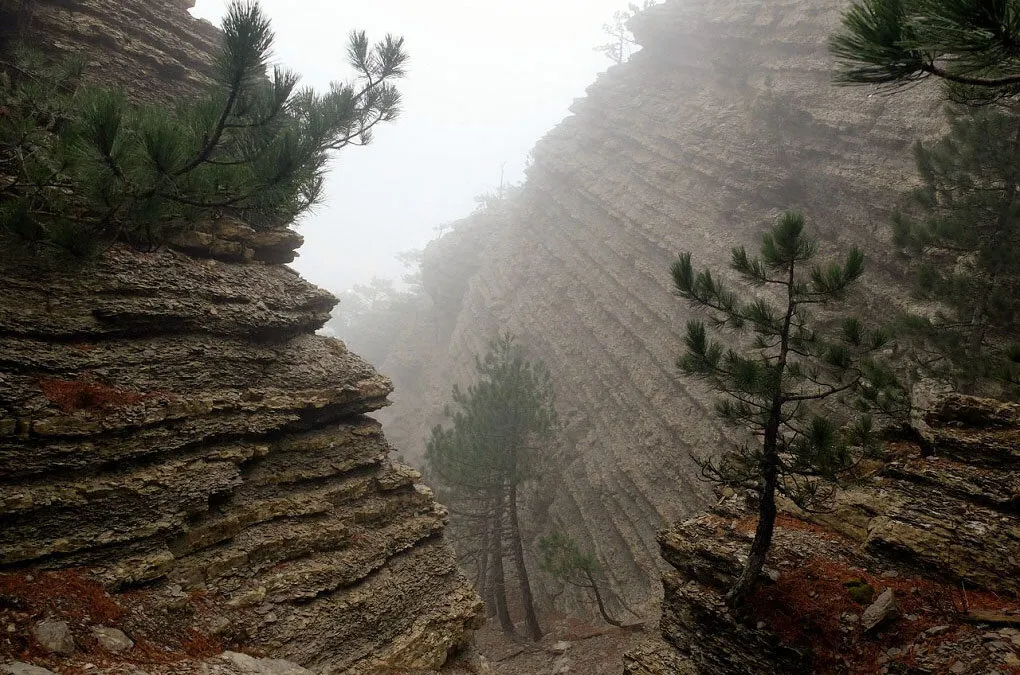
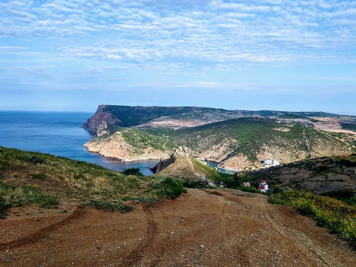
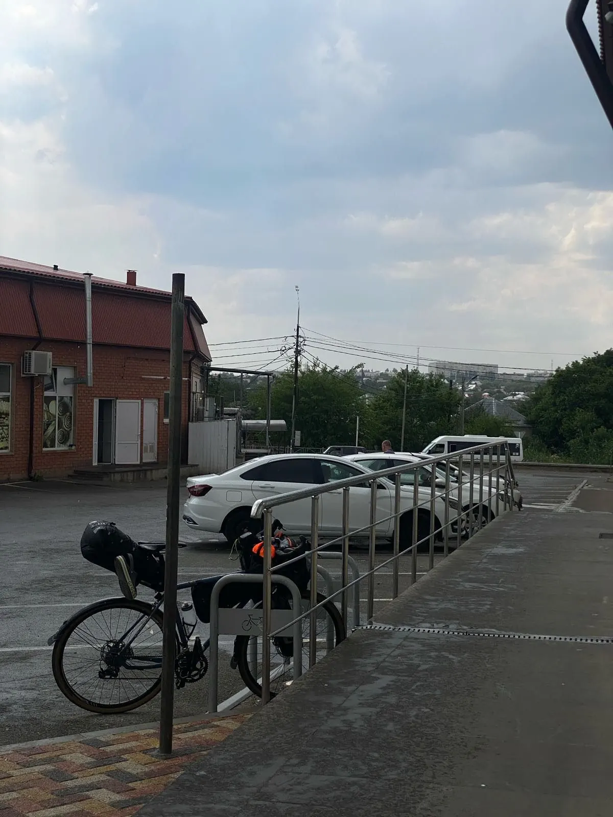
Местность холмистая, но если немного потерпеть можно проехать не слезая.
FAQ
Questions before the trip
Can I do this route without a car?
Check public transport to the start point before your trip. The route page includes a map and coordinates for logistics.
Is this route suitable for children?
Assess the route by length, difficulty, and elevation gain. If you go with children, allow more time and choose a calm pace.
Can I download GPX and KML?
Yes, GPX and KML are available on the route page. Open the map, download the file, and use it in a navigator before your trip; key route facts: 53.9 km, moderate.
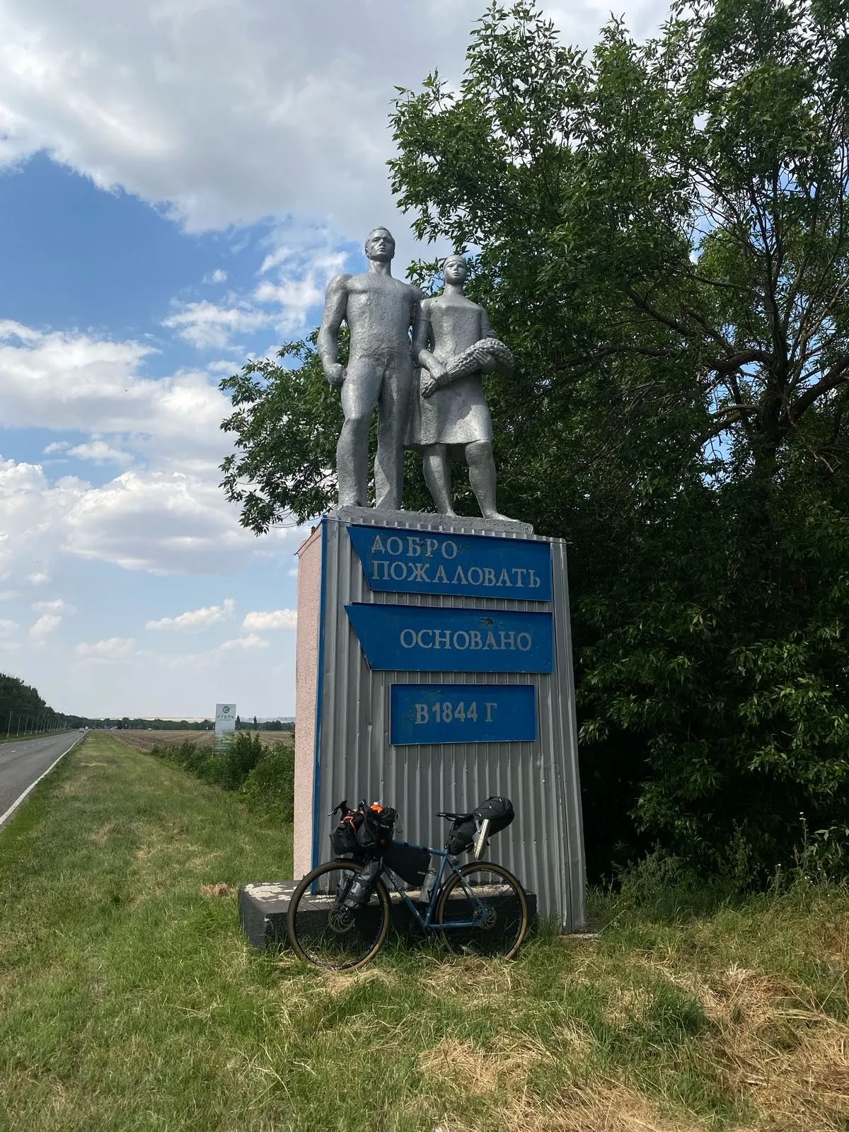
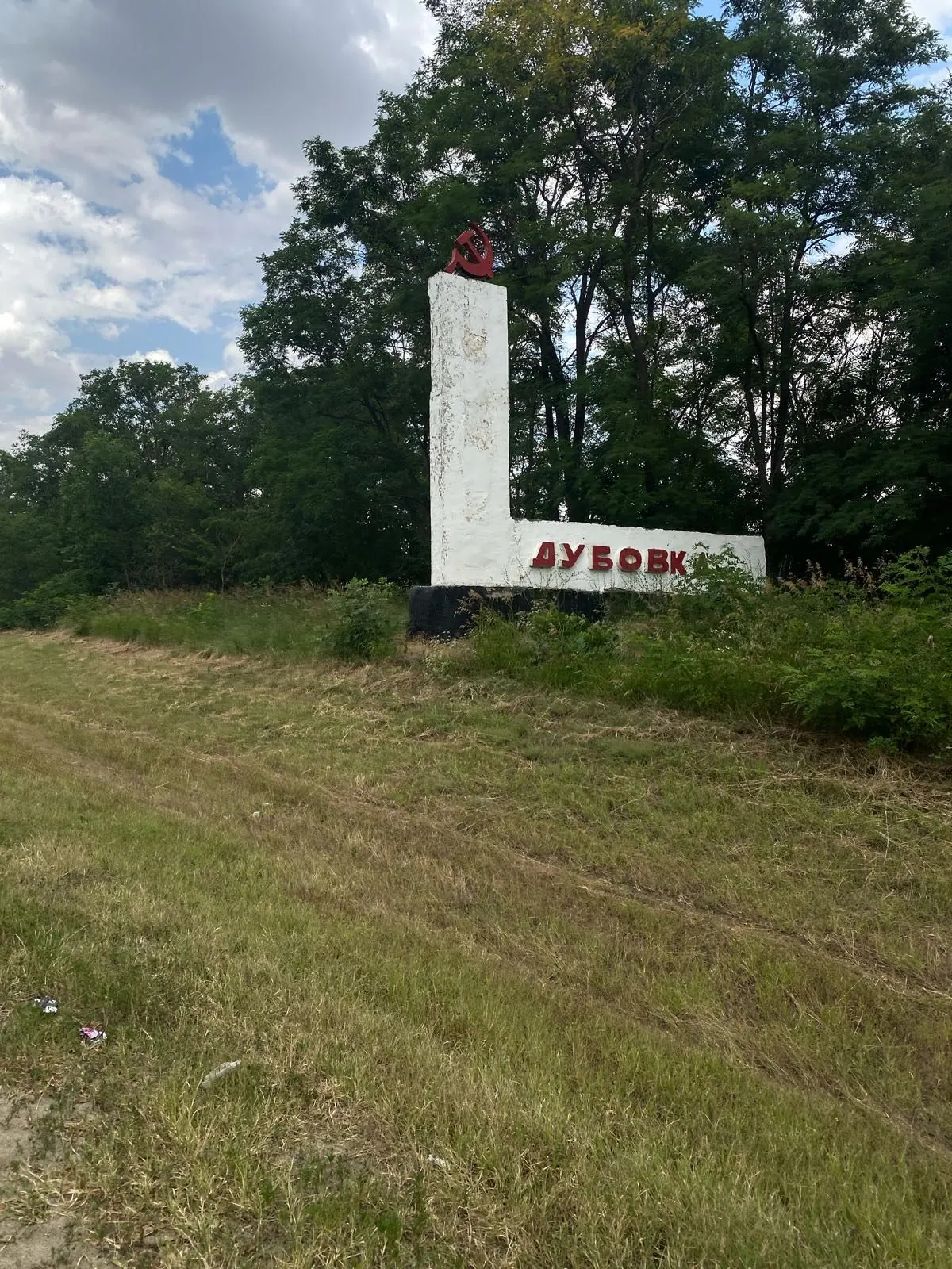
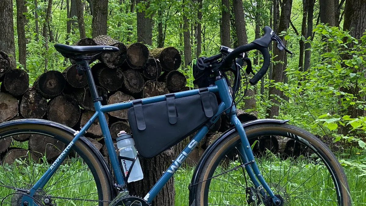
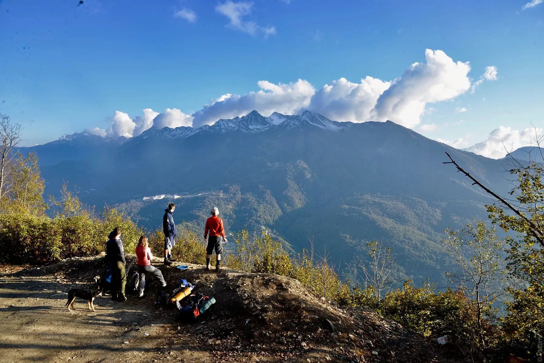
Route photos
7 photos
 49.2 km
 Moderate
 One-day
Обсуждение
Комментарии 0
Войдите, чтобы читать обсуждение и оставлять комментарии.
Можно задать вопрос о маршруте, покрытии или поделиться своим опытом.