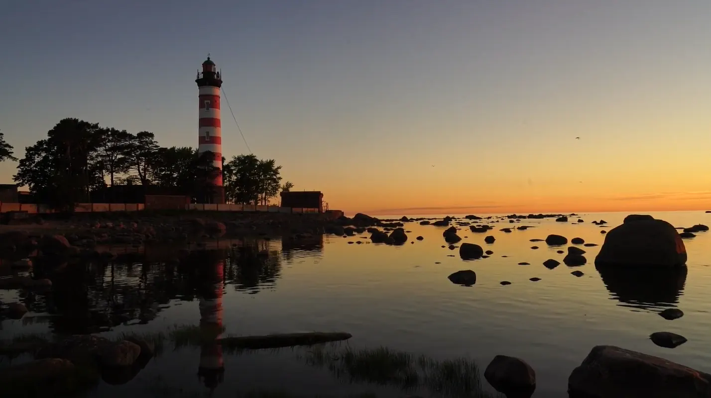

Southern Shore Trail
The supplied GPX is an extended linear version of the Southern Shore Trail measuring about 63 km. It starts east of the official 47 km route, in the Lomonosov area, and continues along the southern shore of th…
 Open on map
 Download route

Route status
Added from a track обновление неизвестно No recent trail condition reports
Подробнее о данных маршрута
This route was added from a track. Individual sections have not been checked in the field.
Перед поездкой проверьте доступность тропы, ограничения и прогноз погоды.
Conditions may have changed. Share a report after completing the route.
Последние прохождения
Станьте первым, кто подтвердит прохождение и поможет другим путешественникам.
 Elevation profile
There is no elevation data in the track for the chart.
 Surface
Asphalt 38% · Dirt 14% · Sand 5% · Не определено 34%
Покрытие определено для 41.6 km из 63.2 km; оставшаяся часть трека пока не классифицирована.
Before you go
Подготовка к маршруту
 Route at a glance
Route suitability
 With a stroller
No
With a stroller
No
 Getting there
 Without a car
 By car
Parking
By car
Parking
What to expect
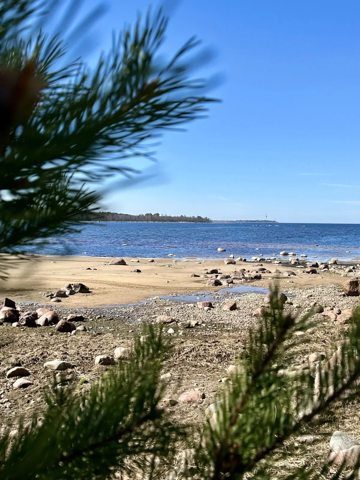
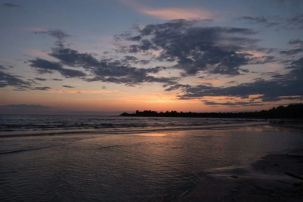
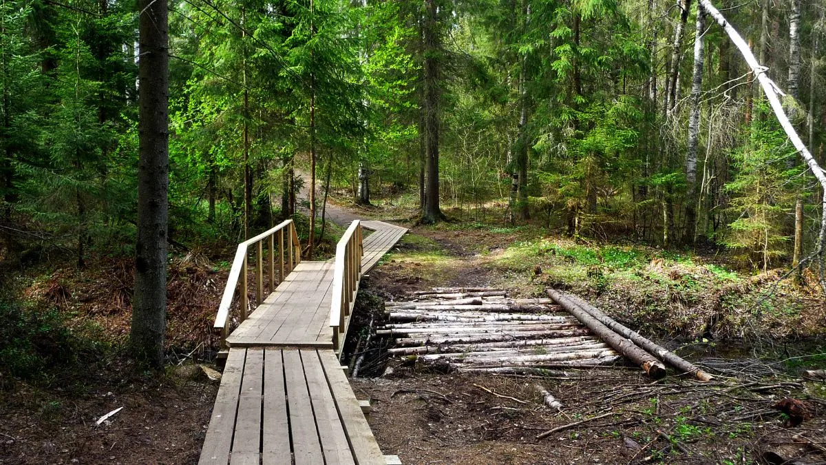
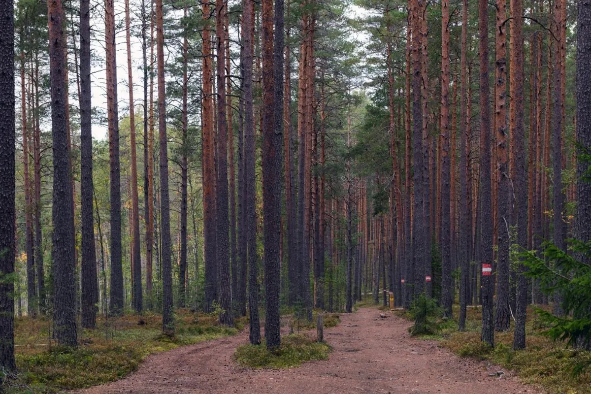
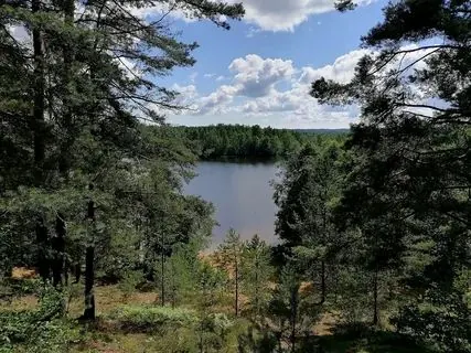
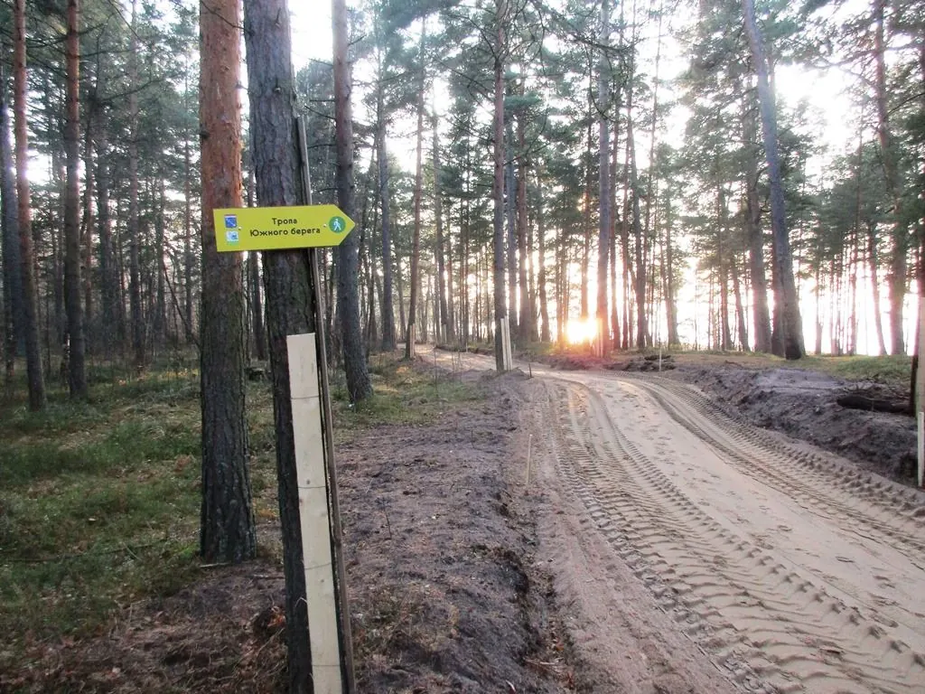
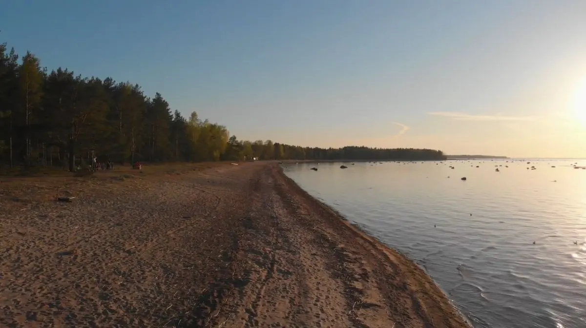
The southern shore of the Gulf of Finland and long coastal forests
Lebyazhy and Bianchi Glade nature reserves
Fort Krasnaya Gorka
The Grey Horse coastal battery
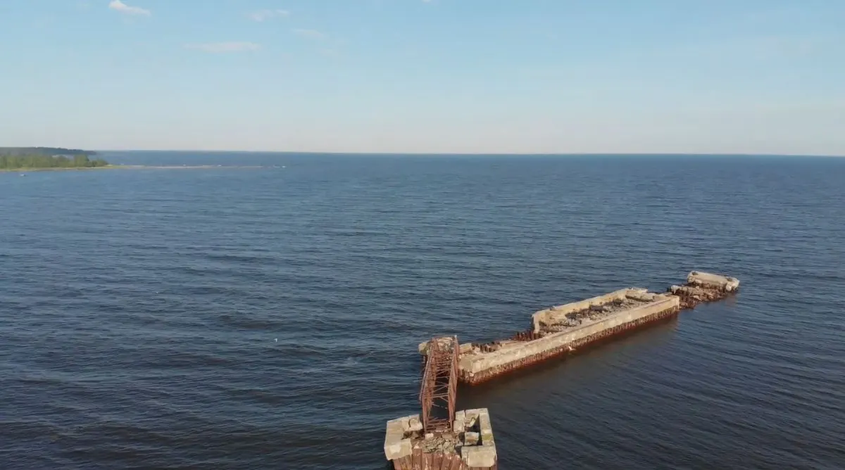
Stony Cape
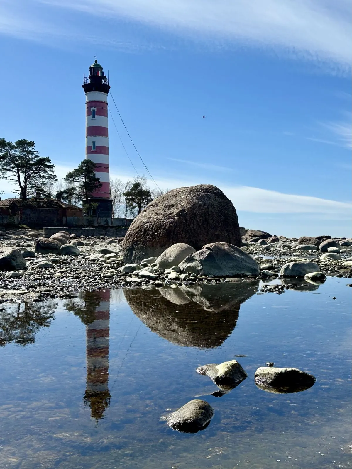
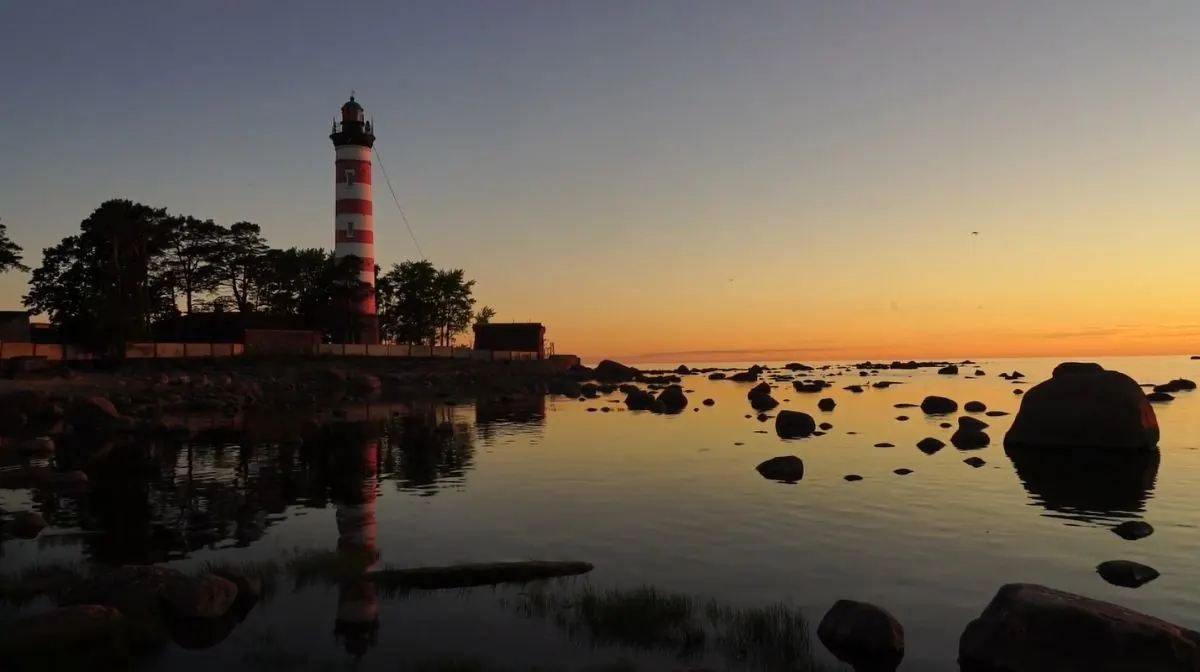
Shepelevsky Lighthouse
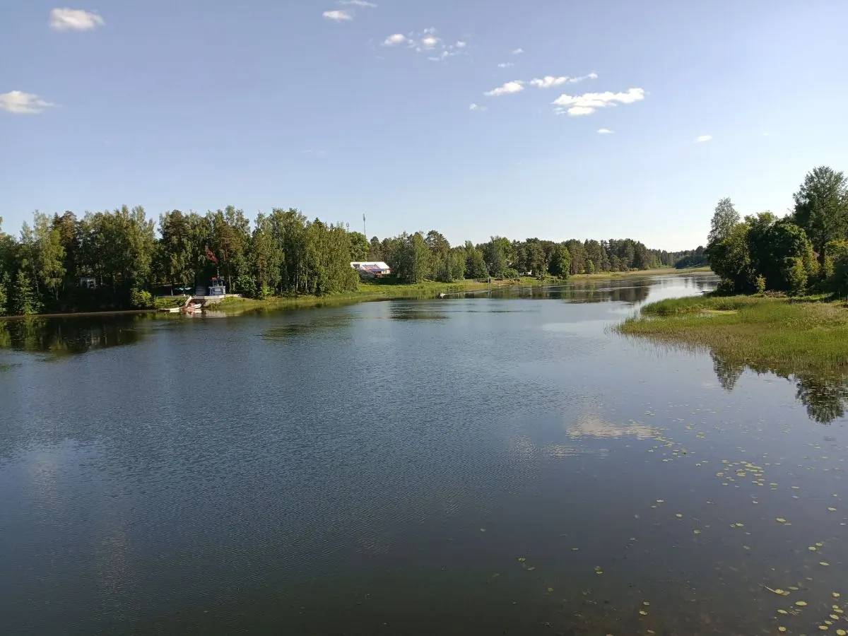
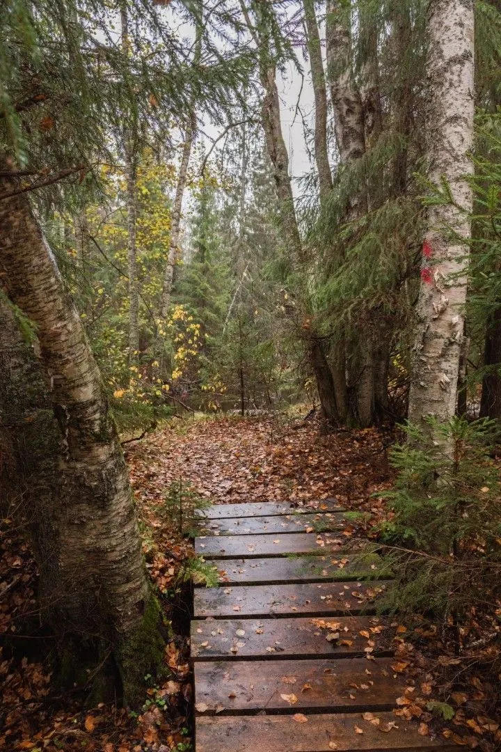
Villages, sandy sections and river crossings
An extended 63 km GPX instead of the official 47 km route
 Difficult sections and safety
 How much time to allow
Расчёт учитывает дистанцию и набор высоты. Добавьте запас на отдых, погоду и навигацию.
Best time to go
The official route is listed as year-round, but late May to September is best for a multi-day hike. Sections may be wet in spring and after storms, ticks and mosquitoes are active in summer, and daylight shortens quickly in autumn.
A 63 km winter journey needs separate preparation, warm equipment and shorter stages. Avoid or postpone exposed shoreline sections during storm-force wind and high water.
What to bring
comfortable hiking boots
a backpack and waterproof protection for equipment
water plus a treatment method
food planned around confirmed shops
a tent and stove only for permitted campsites
offline maps, the GPX and a power bank
a head torch
a first-aid kit, insect repellent and tick protection
a passport and any required border-zone documents
FAQ
Questions before the trip
Can I do this route without a car?
The extended GPX starts near Lomonosov, served by suburban trains to Oranienbaum stations and city transport. The official section near Bolshaya Izhora is also accessible from its rail stop. The finish lies toward Sosnovy Bor and Kalishche, with onward train, bus or taxi options. Save timetables offline and verify transport for every daily stage. A bus road.
Is this route suitable for children?
Assess the route by length, difficulty, and elevation gain. If you go with children, allow more time and choose a calm pace.
Can I download GPX and KML?
Yes, GPX and KML are available on the route page. Open the map, download the file, and use it in a navigator before your trip; key route facts: 63.2 km, hard.
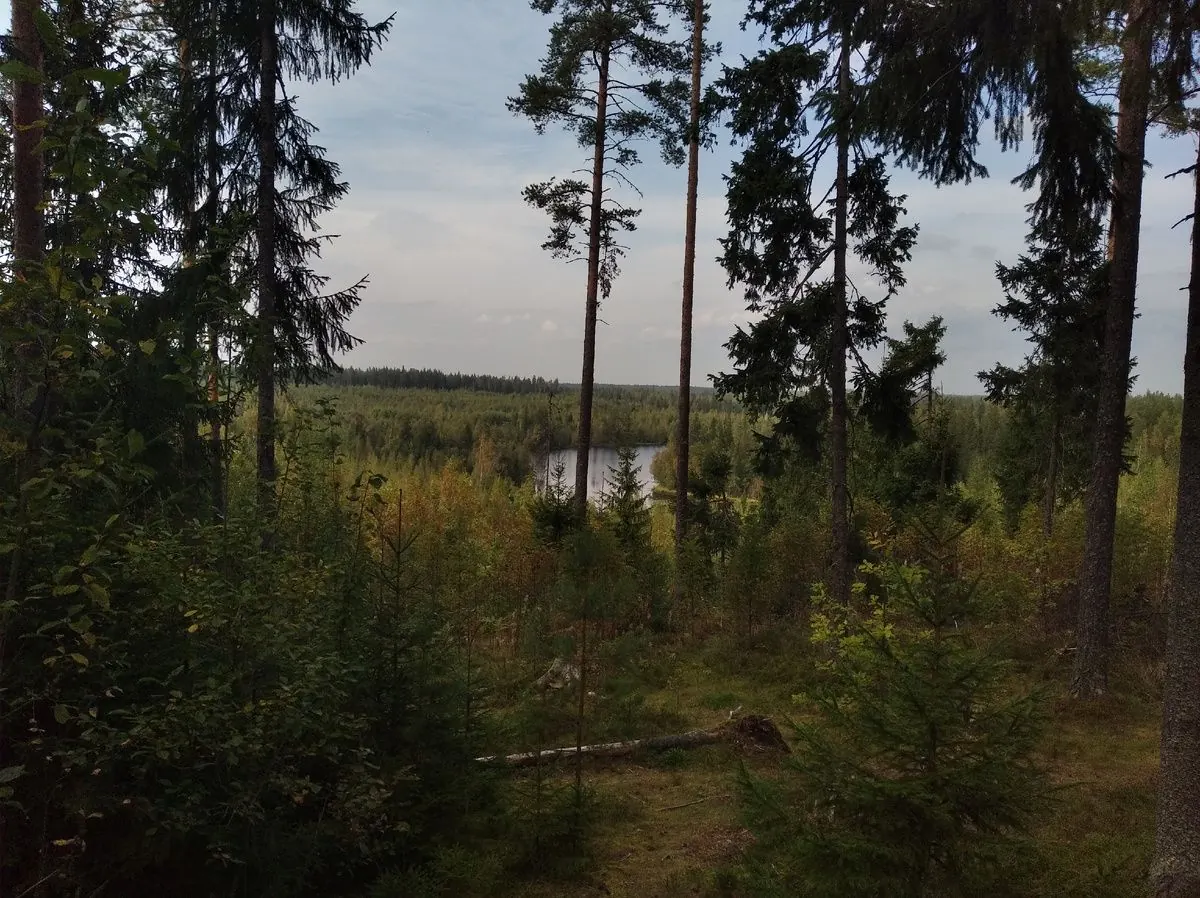
Route photos
9 photos
 23.9 km
Обсуждение
Комментарии 0
Войдите, чтобы читать обсуждение и оставлять комментарии.
Можно задать вопрос о маршруте, покрытии или поделиться своим опытом.