

Voskresenskoe — Velosipednaya Liniya · F003: Between the Route’s Natural Highlights
This trail connects Voskresenskoe with Velosipednaya Liniya · F003 through some of the most expressive sections of nature trails and changing scenery
 Open on map
 Download route

Route status
Added from a track обновление неизвестно No recent trail condition reports
Подробнее о данных маршрута
This route was added from a track. Individual sections have not been checked in the field.
OpenStreetMap: https://www.openstreetmap.org/relation/7431694 Геометрия импортирована из GPX. Состояние на местности не проверялось. Сложность оценена автоматически по длине и набору высоты.
Перед поездкой проверьте доступность тропы, ограничения и прогноз погоды.
Conditions may have changed. Share a report after completing the route.
Последние прохождения
Станьте первым, кто подтвердит прохождение и поможет другим путешественникам.
Before you go
Подготовка к маршруту
 Route at a glance
Route suitability
 Without a car
No data
With children
Yes
With a dog
Yes
By bike
Yes
With a stroller
No
Mobile signal
No data
Without a car
No data
With children
Yes
With a dog
Yes
By bike
Yes
With a stroller
No
Mobile signal
No data
 Getting there
 Without a car
 By car
Parking
By car
Parking
What to expect
Velosipednaya Liniya · F003
nature trails
changing scenery
places for unhurried breaks
 Difficult sections and safety
 How much time to allow
 Best time to go
Best time: May–October, depending on weather and trail conditions
Mud, slippery roots and saturated ground are possible in spring and late autumn
Check the full-day forecast and available daylight before setting out
What to bring
shoes with grippy soles
water and food
a charged phone with an offline map
a small first-aid kit
a lightweight rain jacket
FAQ
Questions before the trip
Can I do this route without a car?
Confirm the car-free option for Voskresenskoe before travelling. Check nearby railway stations and bus stops, and allow for a taxi or a walk on the final approach. This is a point-to-point route, so plan the return from the finish before setting out
Is this route suitable for children?
Yes, the route can work for a calm walk with children. Consider weather, surface, and the group pace.
Can I download GPX and KML?
Yes, GPX and KML are available on the route page. Open the map, download the file, and use it in a navigator before your trip; key route facts: 3.0 km, easy.
Route photos
4 photos
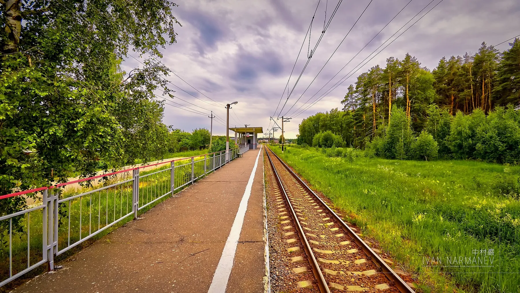
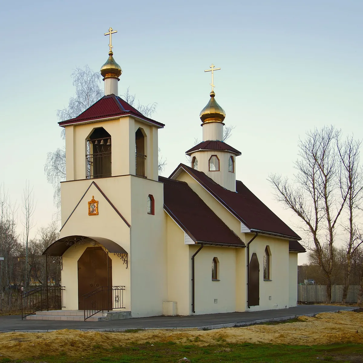
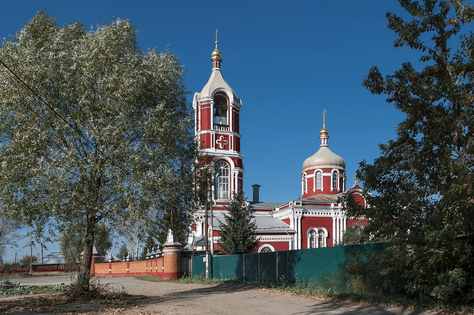
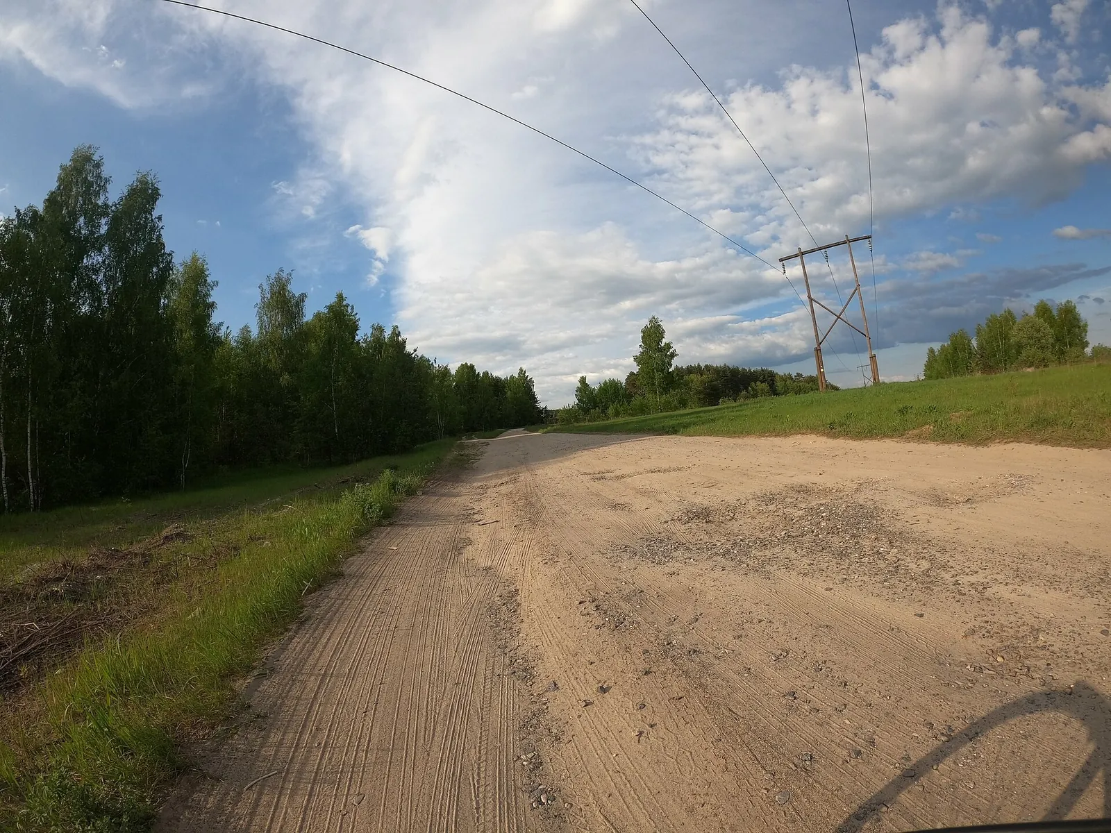
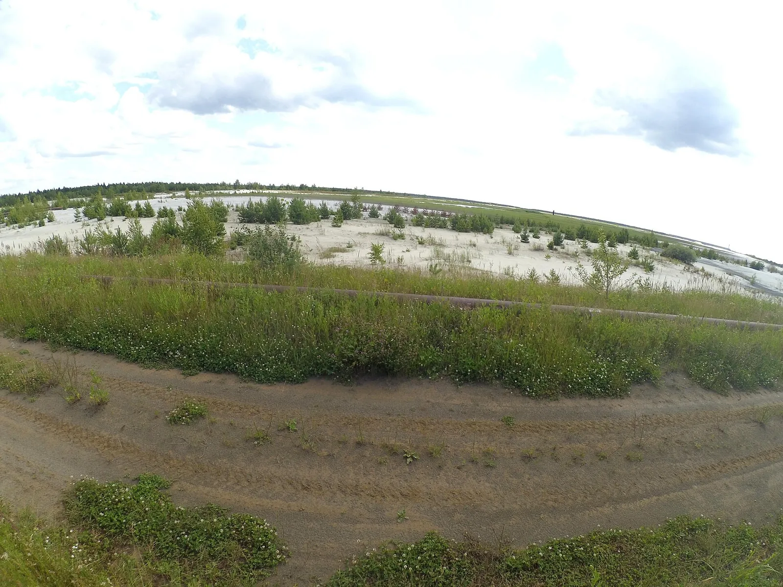
Авторы и источники фотографий
-
131MEDIA-Y0280750
Первоисточник
JPEG, max 2400 px, EXIF orientation applied, no crop; metadata removed from resized copy; WebP, max 1800×1200 px, no crop
-
Rudnikovskaya station platform of Phosphoritny village in Voskresensk
Первоисточник
JPEG, max 2400 px, EXIF orientation applied, no crop; metadata removed from resized copy; WebP, max 1800×1200 px, no crop
-
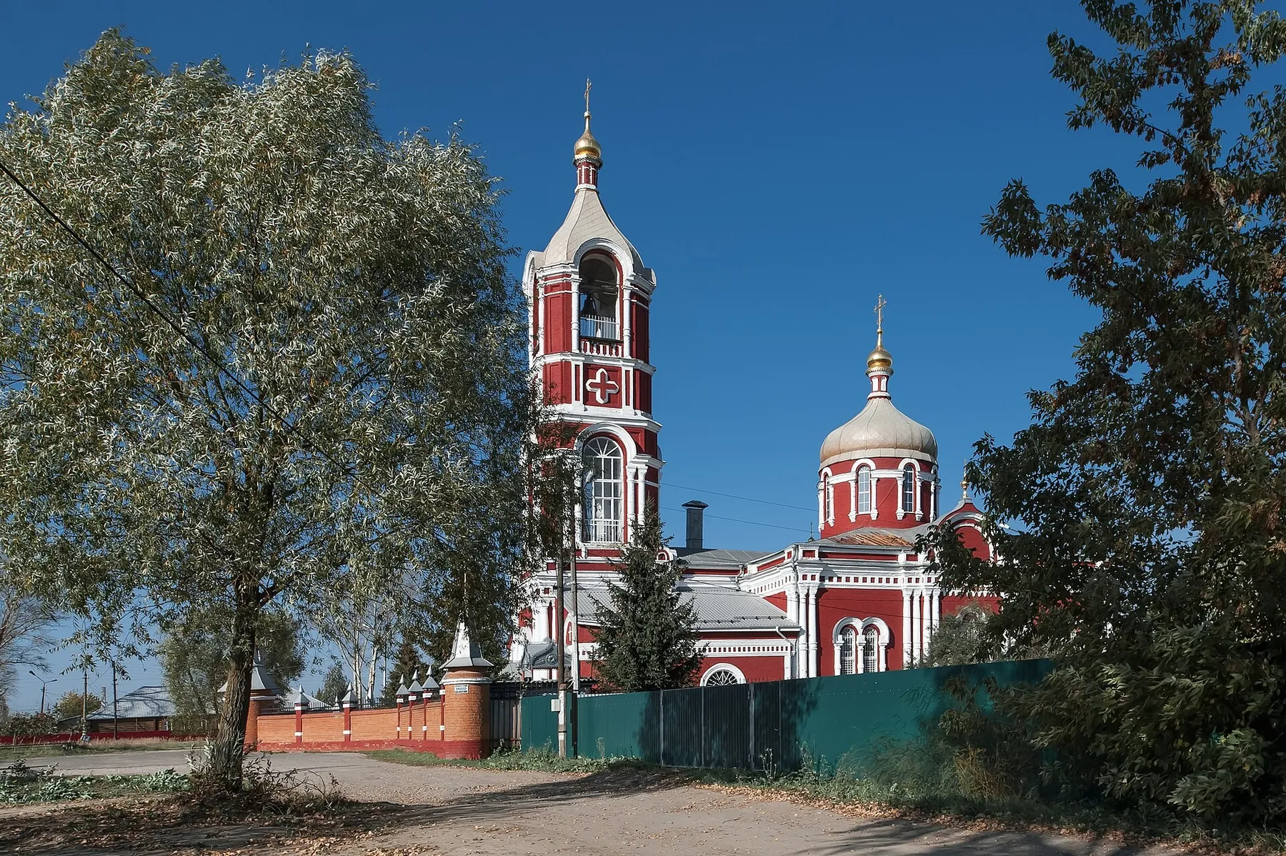
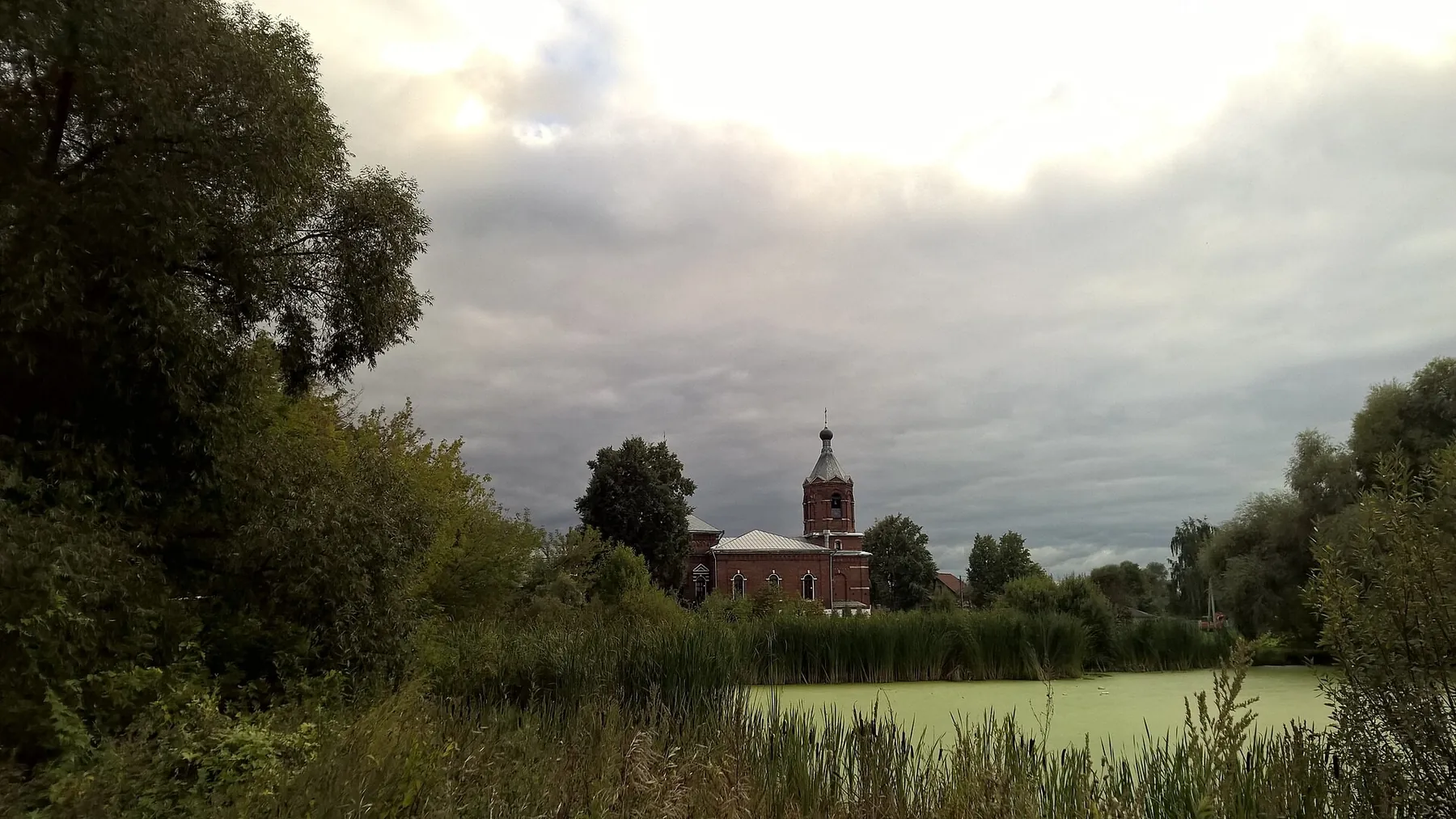
Фосфоритный. Церковь Спаса Преображения - panoramio
Первоисточник
JPEG, max 2400 px, EXIF orientation applied, no crop; metadata removed from resized copy; WebP, max 1800×1200 px, no crop
-
Церковь Воскресения Христова в селе Воскресенское, Воскресенский район, Московская область 01
Первоисточник
JPEG, max 2400 px, EXIF orientation applied, no crop; metadata removed from resized copy; WebP, max 1800×1200 px, no crop
-
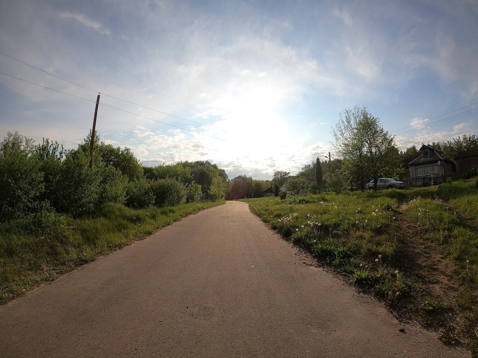
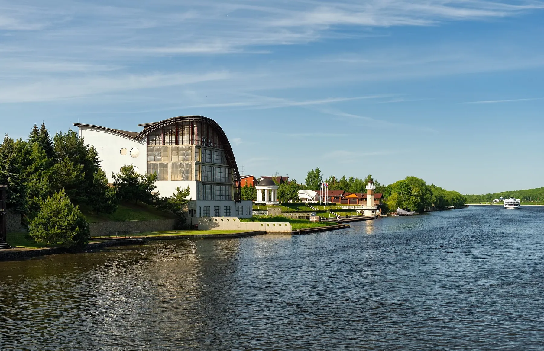
Moscow Oblast Voskresensky District 2023-05 1684691375
Первоисточник
JPEG, max 2400 px, EXIF orientation applied, no crop; metadata removed from resized copy; WebP, max 1800×1200 px, no crop
 5.0 km
Обсуждение
Комментарии 0
Войдите, чтобы читать обсуждение и оставлять комментарии.
Можно задать вопрос о маршруте, покрытии или поделиться своим опытом.