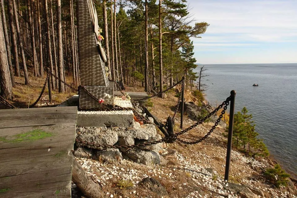


Bay Dyrovataya — Nochyovka: Along the Shore and Open Views
The main story of the route is closely tied to Bay Dyrovataia - Nochiovka. The route on Olkhon Island and the Maloye More moves through coastal paths, exposed headlands and sheltered bays, with plenty of reaso…
 Open on map
 Download route

Route status
Added from a track обновление неизвестно No recent trail condition reports
Подробнее о данных маршрута
This route was added from a track. Individual sections have not been checked in the field.
Геометрия импортирована из GPX. Состояние на местности не проверялось. Сложность оценена автоматически по длине и набору высоты.
Перед поездкой проверьте доступность тропы, ограничения и прогноз погоды.
Conditions may have changed. Share a report after completing the route.
Последние прохождения
Станьте первым, кто подтвердит прохождение и поможет другим путешественникам.
 Elevation profile
There is no elevation data in the track for the chart.
Before you go
Подготовка к маршруту
 Route at a glance
Route suitability
 Without a car
No data
With children
With caution
With a dog
Yes
By bike
No
With a stroller
No
Mobile signal
Patchy
Without a car
No data
With children
With caution
With a dog
Yes
By bike
No
With a stroller
No
Mobile signal
Patchy
 Getting there
 Without a car
 By car
Parking
By car
Parking
What to expect
Bay Dyrovataia - Nochiovka
Bay Dyrovataya
 Difficult sections and safety
 How much time to allow
Best time to go
Best time: May–October, when the coastal sections are more comfortable for a long walk
After storms and strong winds, conditions on rocks, boardwalks and the waterline may change
Check wind strength and precipitation specifically for the coast
What to bring
shoes with grippy soles
water and food
a charged phone with an offline map
a small first-aid kit
windproof and waterproof layers
a warm layer and a hat
a spare pair of dry socks
FAQ
Questions before the trip
Can I do this route without a car?
Buses and minibuses run from Irkutsk via Bayanday and Yelantsy to Sakhyurta and Khuzhir; the Olkhon crossing is seasonal. Pre-book a local transfer for the trailhead near the trailhead. Because the start and finish are in different places, check the return service in advance, arrange a transfer or leave a second vehicle near the finish
Is this route suitable for children?
Possible with caution: review the surface, difficult sections, and extra time for stops in advance.
Can I download GPX and KML?
Yes, GPX and KML are available on the route page. Open the map, download the file, and use it in a navigator before your trip; key route facts: 12.0 km, moderate.
Route photos
6 photos
Авторы и источники фотографий
-
44. Памятник на мысе Красный Яр.
не установлена; требуется разрешение до публикацииПервоисточник
JPEG, max 2400 px, EXIF orientation applied, no crop; metadata removed from resized copy; WebP, max 1800×1200 px, no crop
-
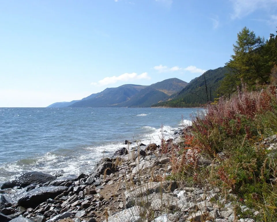
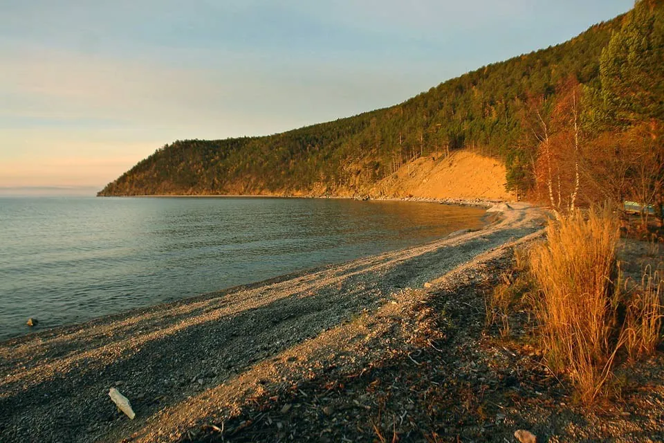
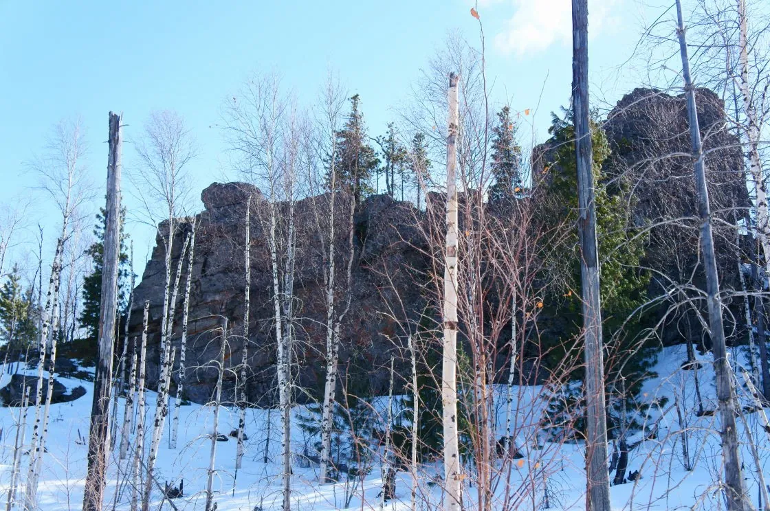
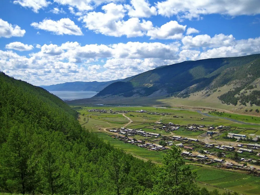
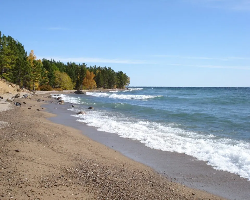
Побережье
не установлена; требуется разрешение до публикацииПервоисточник
JPEG, max 2400 px, EXIF orientation applied, no crop; metadata removed from resized copy; WebP, max 1800×1200 px, no crop
-
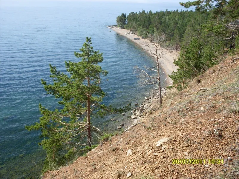
Мыс Красный Яр
не установлена; требуется разрешение до публикацииПервоисточник
JPEG, max 2400 px, EXIF orientation applied, no crop; metadata removed from resized copy; WebP, max 1800×1200 px, no crop
-
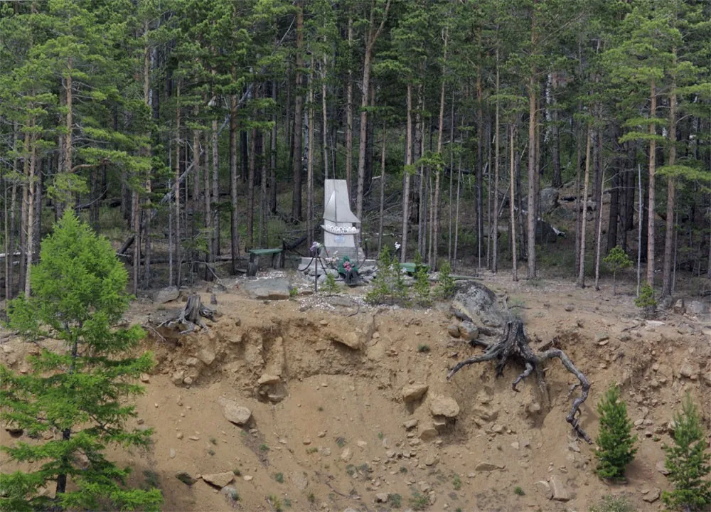
Памятник на мысе Красный Яр
не установлена; требуется разрешение до публикацииПервоисточник
JPEG, max 2400 px, EXIF orientation applied, no crop; metadata removed from resized copy; WebP, max 1800×1200 px, no crop
-
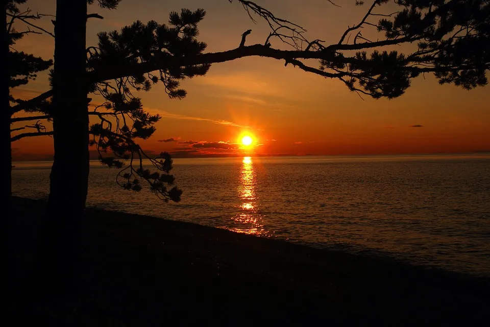
42. Рассвет на мысе Черный.
не установлена; требуется разрешение до публикацииПервоисточник
JPEG, max 2400 px, EXIF orientation applied, no crop; metadata removed from resized copy; WebP, max 1800×1200 px, no crop
-
38. Утро на мысе Черный.
не установлена; требуется разрешение до публикацииПервоисточник
JPEG, max 2400 px, EXIF orientation applied, no crop; metadata removed from resized copy; WebP, max 1800×1200 px, no crop
-
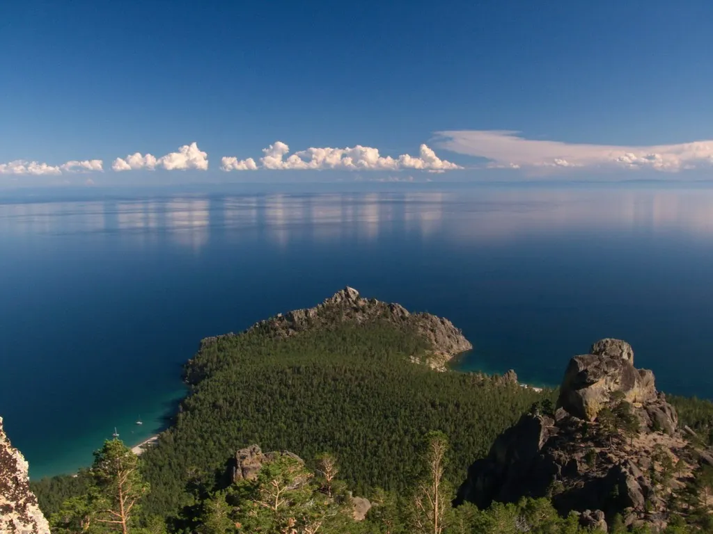
мыс Чёрный
не установлена; требуется разрешение до публикацииПервоисточник
JPEG, max 2400 px, EXIF orientation applied, no crop; metadata removed from resized copy; WebP, max 1800×1200 px, no crop
 11.2 km
Обсуждение
Комментарии 0
Войдите, чтобы читать обсуждение и оставлять комментарии.
Можно задать вопрос о маршруте, покрытии или поделиться своим опытом.