

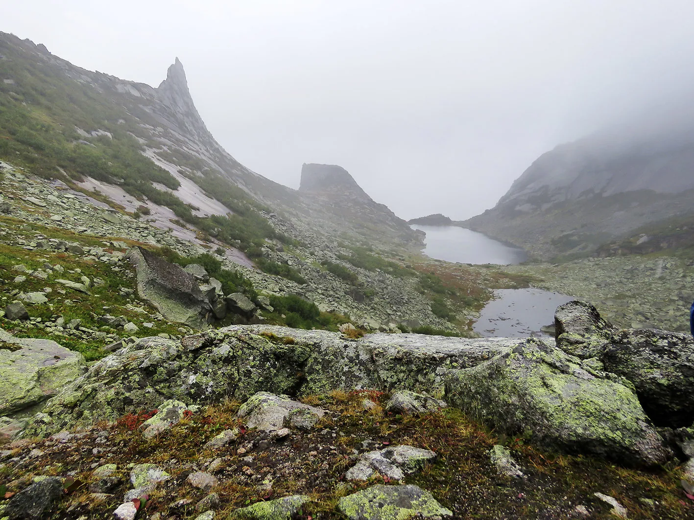
Waterfall at the Foot of the Borus Ridge
The point-to-point hiking route “Waterfall at the Foot of the Borus Ridge” is approximately 8.7 km long, with about 710 m of ascent from the GPX. The main objective is the waterfall or cascade named in the rou…
 Open on map
 Download route

Route status
Added from a track обновление неизвестно No recent trail condition reports
Подробнее о данных маршрута
This route was added from a track. Individual sections have not been checked in the field.
Геометрия импортирована из GPX. Состояние на местности не проверялось. Сложность оценена автоматически по длине и набору высоты.
Перед поездкой проверьте доступность тропы, ограничения и прогноз погоды.
Conditions may have changed. Share a report after completing the route.
Последние прохождения
Станьте первым, кто подтвердит прохождение и поможет другим путешественникам.
 Elevation profile
There is no elevation data in the track for the chart.
Before you go
Подготовка к маршруту
 Route description
Route at a glance
Route suitability
 Getting there
 Without a car
 By car
Parking
By car
Parking
What to expect
Point-to-point hiking route, approximately 8.7 km
GPX ascent — approximately 710 m
File elevations — approximately 327 to 1033 m
the waterfall or cascade named in the title
forest roads and paths
Waterfall at the Foot of the Borus Ridge
 Difficult sections and safety
 How much time to allow
Best time to go
For most mountain routes, the most predictable period is after the main snowmelt and before persistent autumn frost. Snow, high water, storms and closures may still occur in summer.
Check passes, rivers, roads and current protected-area rules before departure.
What to bring
footwear with grip suited to the actual surface
rain, wind and cold protection
water and food with a reserve
 a phone with offline maps and the GPX, plus a power bank
a torch
a first-aid kit and emergency insulation
insect repellent and sun protection as required
identification, cash and any required permits
a phone with offline maps and the GPX, plus a power bank
a torch
a first-aid kit and emergency insulation
insect repellent and sun protection as required
identification, cash and any required permits
Что рядом
FAQ
Questions before the trip
Can I do this route without a car?
The GPX begins at 52.843568, 91.415641. Stop names and timetables are not established by the GPX, so select the nearest permitted approach using a current map. The finish is at 52.801751, 91.483196. Check return transport or arrange a transfer between the two ends in advance
Is this route suitable for children?
Assess the route by length, difficulty, and elevation gain. If you go with children, allow more time and choose a calm pace.
Can I download GPX and KML?
Yes, GPX and KML are available on the route page. Open the map, download the file, and use it in a navigator before your trip; key route facts: 8.7 km, hard.
 10.6 km
Обсуждение
Комментарии 0
Войдите, чтобы читать обсуждение и оставлять комментарии.
Можно задать вопрос о маршруте, покрытии или поделиться своим опытом.