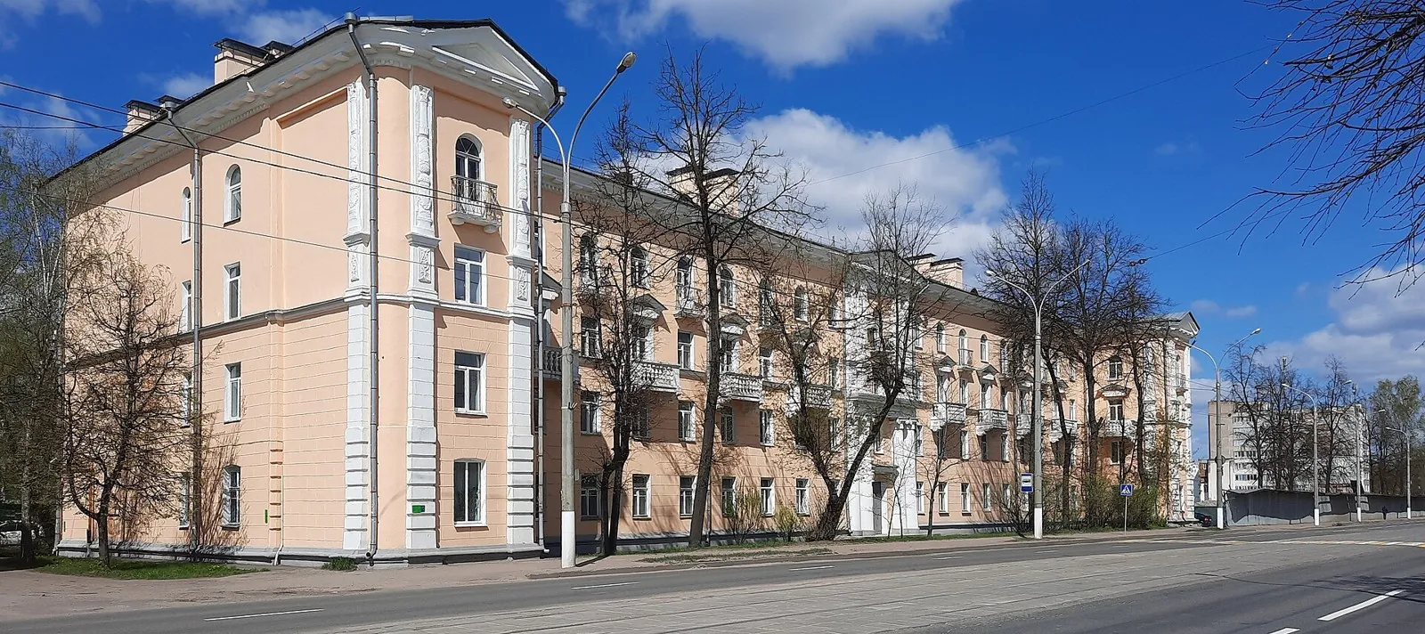


Gorki – Kamenni: Lake-country variant
The route “Gorki – Kamenni: Lake-country variant” runs through the Vitebsk Region. Three defining elements shape the journey: open high ground, scenic viewpoints, and long country roads
 Open on map
 Download route

Route status
Added from a track обновление неизвестно No recent trail condition reports
Подробнее о данных маршрута
This route was added from a track. Individual sections have not been checked in the field.
Геометрия импортирована из GPX. Состояние на местности не проверялось. Сложность оценена автоматически по длине и набору высоты.
Перед поездкой проверьте доступность тропы, ограничения и прогноз погоды.
Conditions may have changed. Share a report after completing the route.
Последние прохождения
Станьте первым, кто подтвердит прохождение и поможет другим путешественникам.
Before you go
Подготовка к маршруту
 Route at a glance
Route suitability
 Without a car
Difficult
With children
No
With a dog
No
By bike
Yes
With a stroller
No
Mobile signal
No data
Without a car
Difficult
With children
No
With a dog
No
By bike
Yes
With a stroller
No
Mobile signal
No data
 Getting there
 Without a car
 By car
Parking
By car
Parking
What to expect
Gorki
Orsha
rolling terrain and scenic sections
long roads and small towns
 Difficult sections and safety
 How much time to allow
 Best time to go
Best time: April–October, after the snow has gone and before persistent frost
Cold rain, strong winds, and limited daylight are possible in spring and autumn
Check the forecast for the whole route, not only the starting point
What to bring
a cycling helmet
water and food
a charged phone with an offline map
a power bank and charging plan for each stage
a spare tube or repair kit and a pump
front and rear lights
windproof and waterproof layers
a small first-aid kit
FAQ
Questions before the trip
Can I do this route without a car?
Direct public transport to the start is not confirmed by the available information. Use Gorki as the nearest reference point, then choose a regional bus, taxi, or pre-arranged transfer after checking current timetables. The circular format returns to the starting point
Is this route suitable for children?
Do not treat this as a basic child-friendly route: check difficulty, length, and trail conditions before going.
Can I download GPX and KML?
Yes, GPX and KML are available on the route page. Open the map, download the file, and use it in a navigator before your trip; key route facts: 414.4 km, hard.
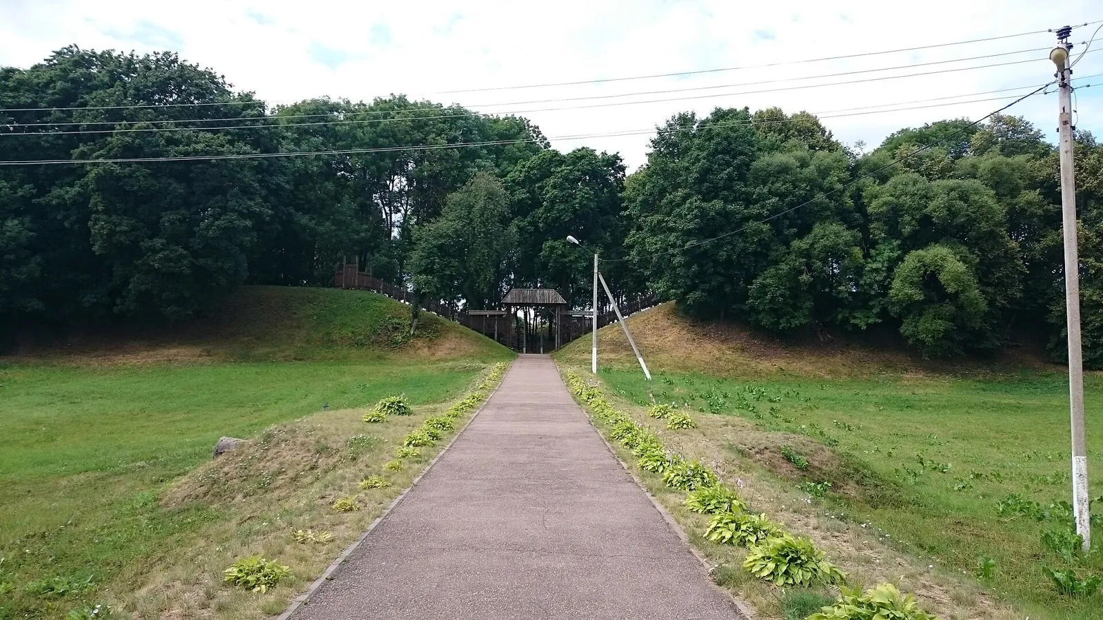
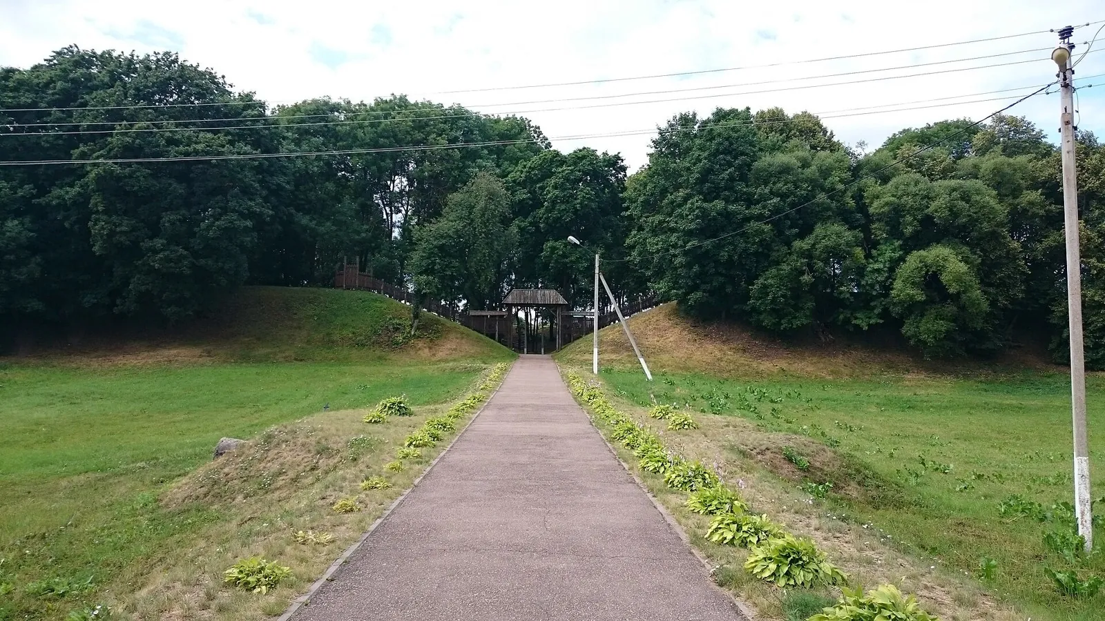
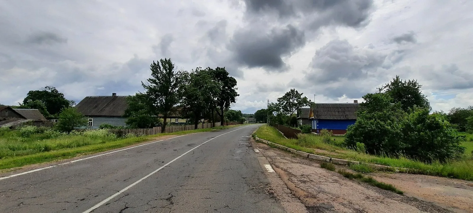
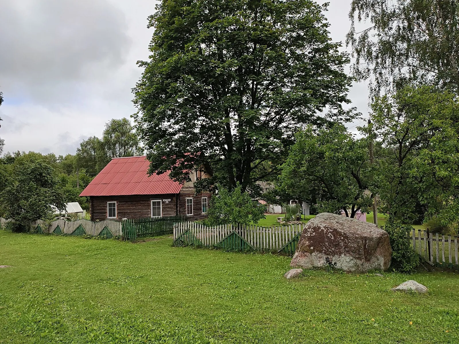
Route photos
4 photos
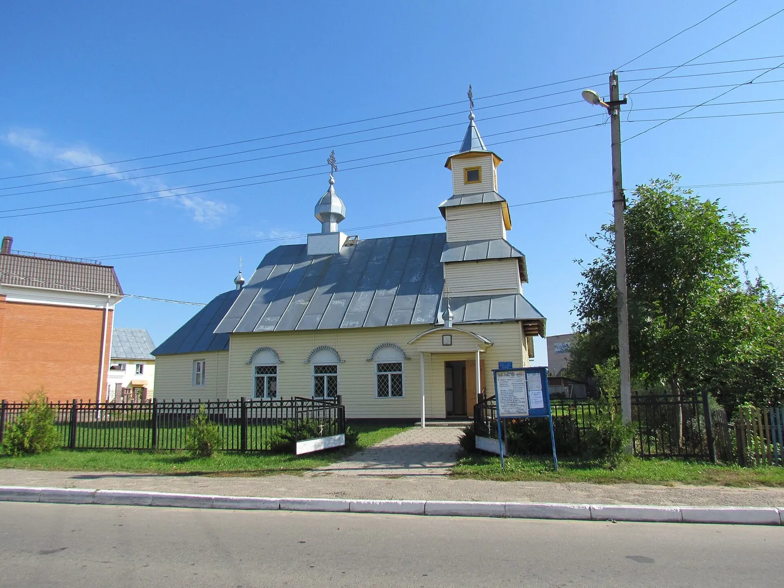
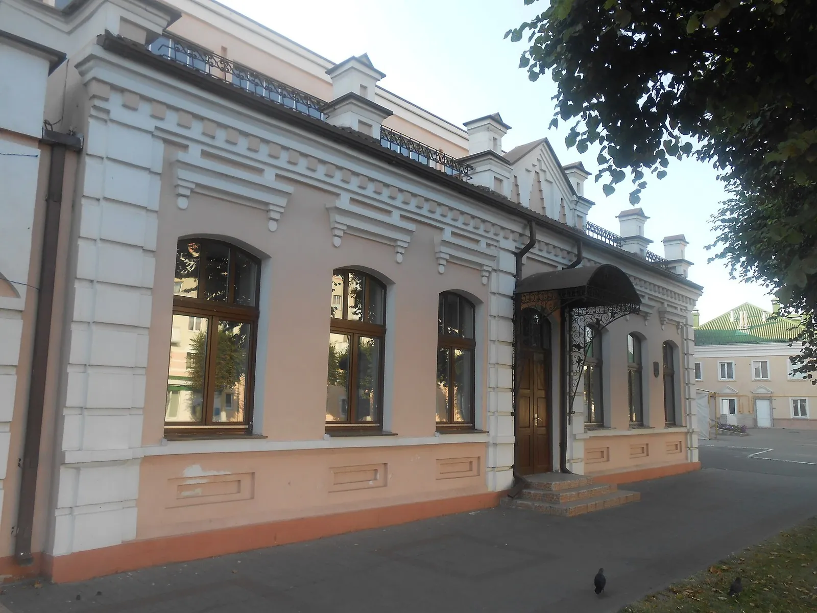
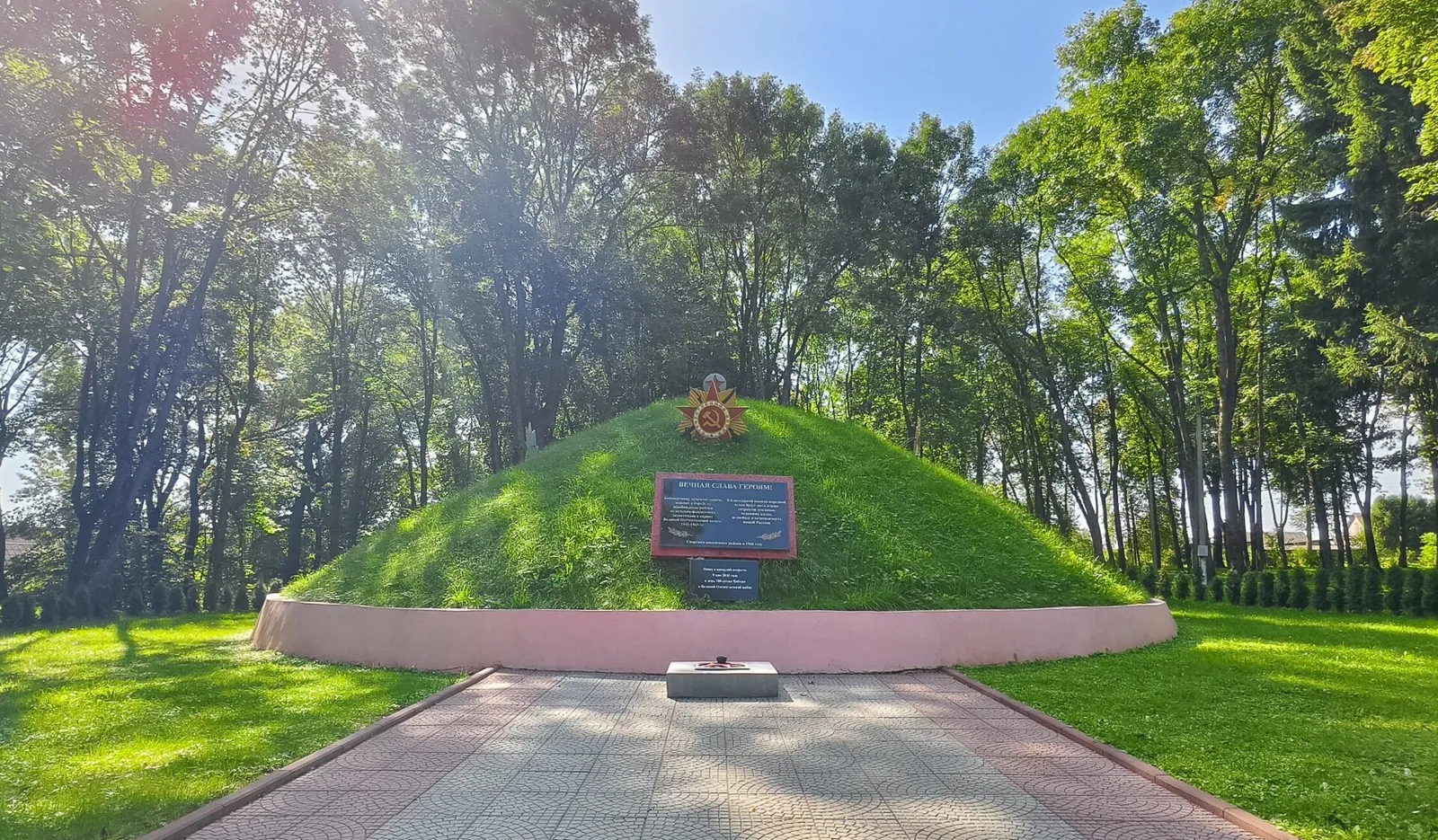
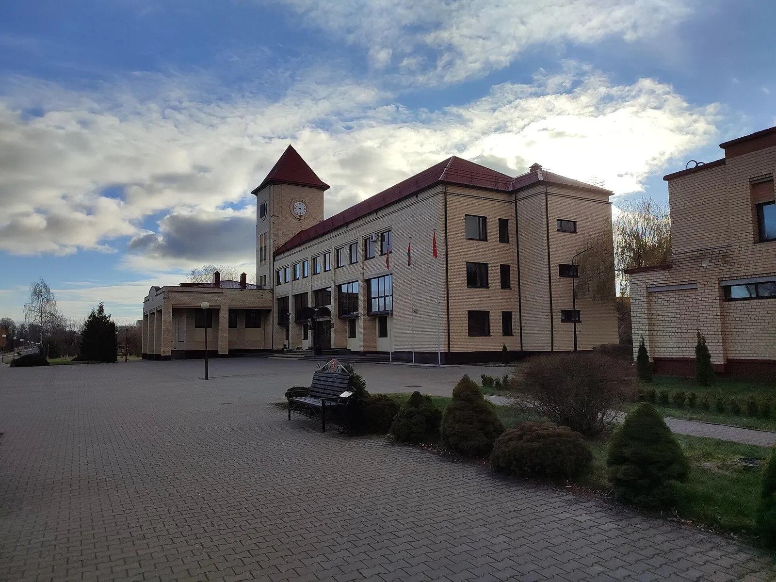
Авторы и источники фотографий
-
File:Budzionnaha Street 1, Viciebsk (01).jpg
Zelyoniy.antonПервоисточник
; WebP, max 1800×1200 px, no crop
-
File:Dubroŭna Sv. Mikalaja.JPG
User:Sergei~be-x-oldwikiПервоисточник
; WebP, max 1800×1200 px, no crop
-
File:Lenina 26 in Orsha 01.JPG
GandvikПервоисточник
; WebP, max 1800×1200 px, no crop
-
File:Бешенковичи. Курган Славы.jpg
Открытые источникиПервоисточник
; WebP, max 1800×1200 px, no crop
-
File:Дри́бин, Дрибинский район, Могилёвская область, Беларусь 13.jpg
Denis BlischПервоисточник
; WebP, max 1800×1200 px, no crop
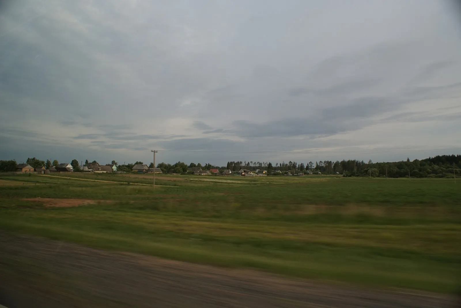
 312.5 km
Обсуждение
Комментарии 0
Войдите, чтобы читать обсуждение и оставлять комментарии.
Можно задать вопрос о маршруте, покрытии или поделиться своим опытом.