

Zimniy Fest B200, Uzdenskiy
Cycling route: “Zimniy Fest B200, Uzdenskiy”, calculated length 201.9 km, geometry type: loop. Country: Belarus; main region by coordinates: Minsk Region. Main line start: 53.949771, 27.450451; finish: 53.9498…
 Open on map
 Download route

Route status
Added from a track обновление неизвестно No recent trail condition reports
Подробнее о данных маршрута
This route was added from a track. Individual sections have not been checked in the field.
Геометрия импортирована из GPX. Состояние на местности не проверялось. Сложность оценена автоматически по длине и набору высоты.
Перед поездкой проверьте доступность тропы, ограничения и прогноз погоды.
Conditions may have changed. Share a report after completing the route.
Последние прохождения
Станьте первым, кто подтвердит прохождение и поможет другим путешественникам.
 Elevation profile
There is no elevation data in the track for the chart.
Before you go
Подготовка к маршруту
 Route description
Route at a glance
Route suitability
 Getting there
 Without a car
 By car
Parking
By car
Parking
What to expect
Main region: Minsk Region
Profile: Cycling route
Total line length: 201.9 km
Geometry: loop; separate lines: 1
Coordinate points: 2506
Recorded point elevations are approximately 164–286 m; this is not cumulative ascent or a verified elevation for each feature.
Waymarking, shelter and drinking-water supplies have not been confirmed
 Difficult sections and safety
 How much time to allow
Best time to go
A specific safe season is not established by the file. Snow, high water, prolonged rain and poor weather can change the same section significantly. Check the original track date, current forecast, water crossings and area restrictions shortly before travel.
What to bring
a serviced bicycle, helmet, lights and repair kit
a detailed offline map and checked GPX
charged navigation devices and backup power
 food and water for the expected self-sufficiency period
a first-aid and emergency kit appropriate to the area
a torch and navigation tools
for remote sections, an agreed backup communication and return plan
food and water for the expected self-sufficiency period
a first-aid and emergency kit appropriate to the area
a torch and navigation tools
for remote sections, an agreed backup communication and return plan
Что рядом
FAQ
Questions before the trip
Can I do this route without a car?
Main line start: 53.949771, 27.450451. Nearby stop names, schedules and walking access were not checked for this collection. Do not select a stop simply because its name resembles the route title; the actual starting point may be elsewhere. For a loop, check both access to the start and a return service with sufficient time allowance. A track point need not.
Is this route suitable for children?
Assess the route by length, difficulty, and elevation gain. If you go with children, allow more time and choose a calm pace.
Can I download GPX and KML?
Yes, GPX and KML are available on the route page. Open the map, download the file, and use it in a navigator before your trip; key route facts: 201.9 km, hard.
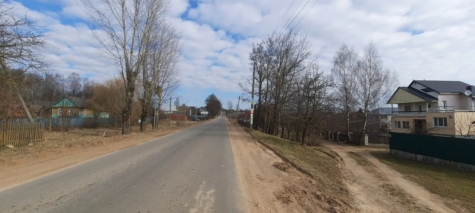
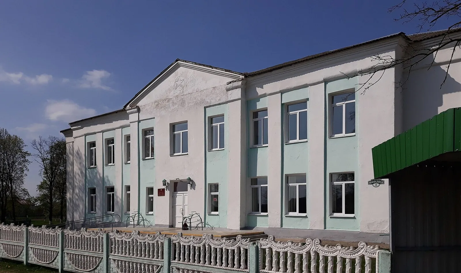
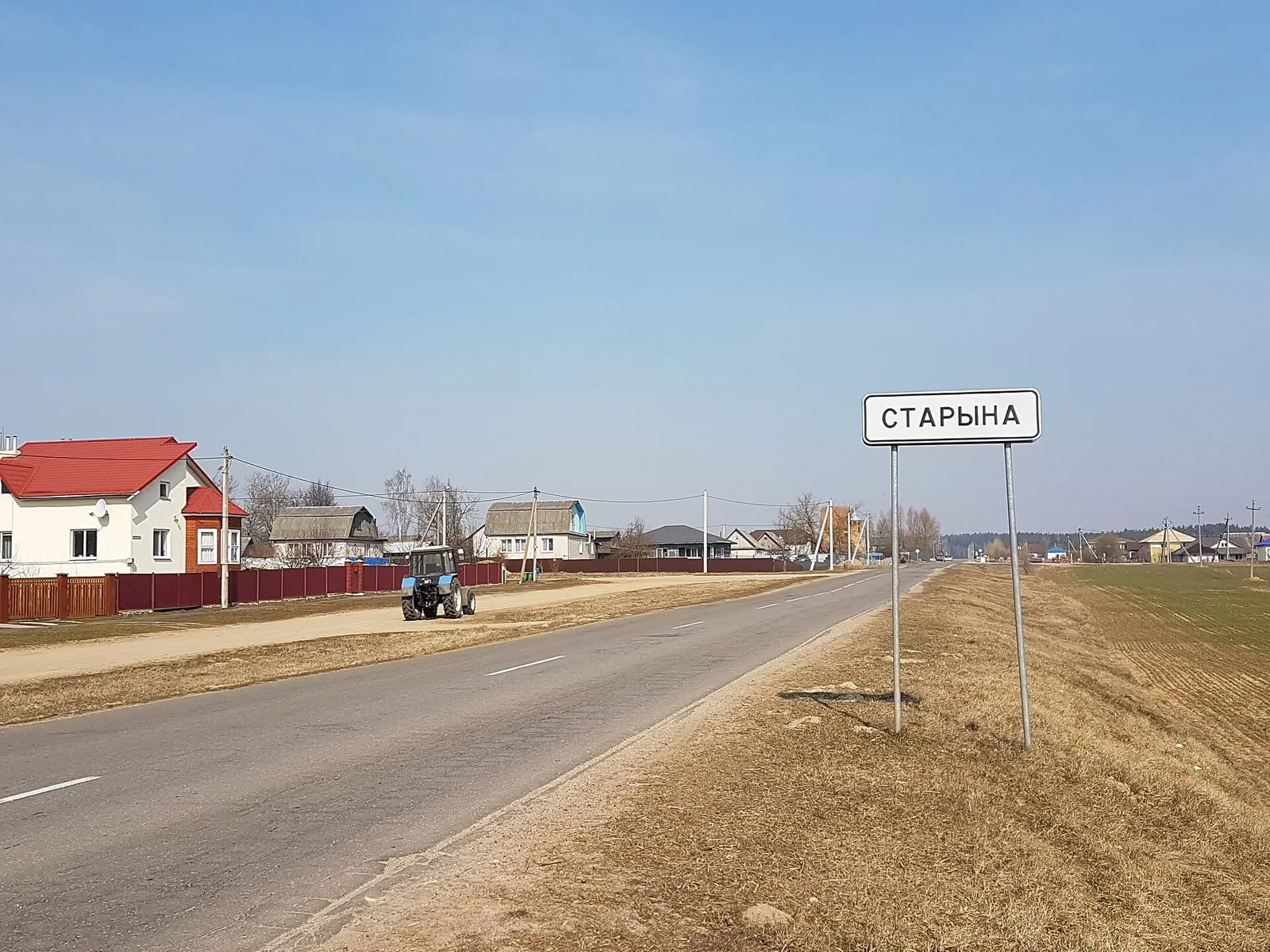
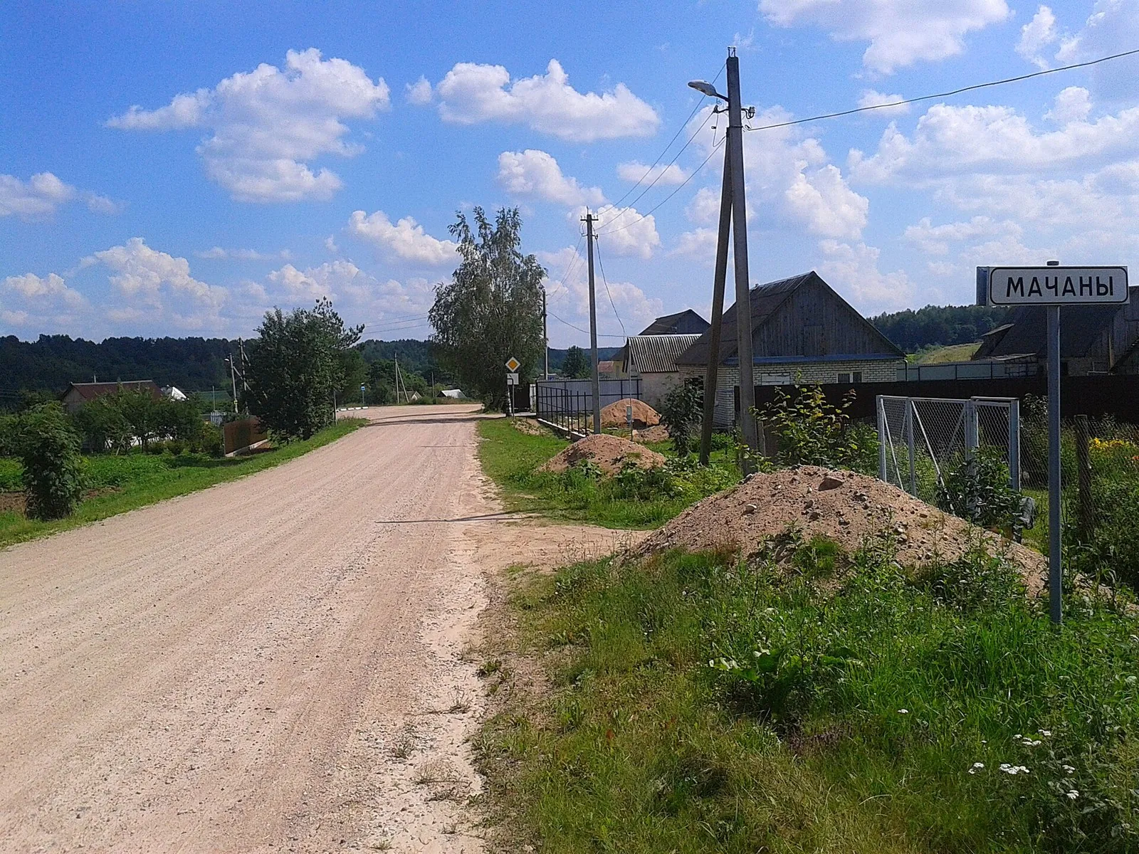
Route photos
4 photos
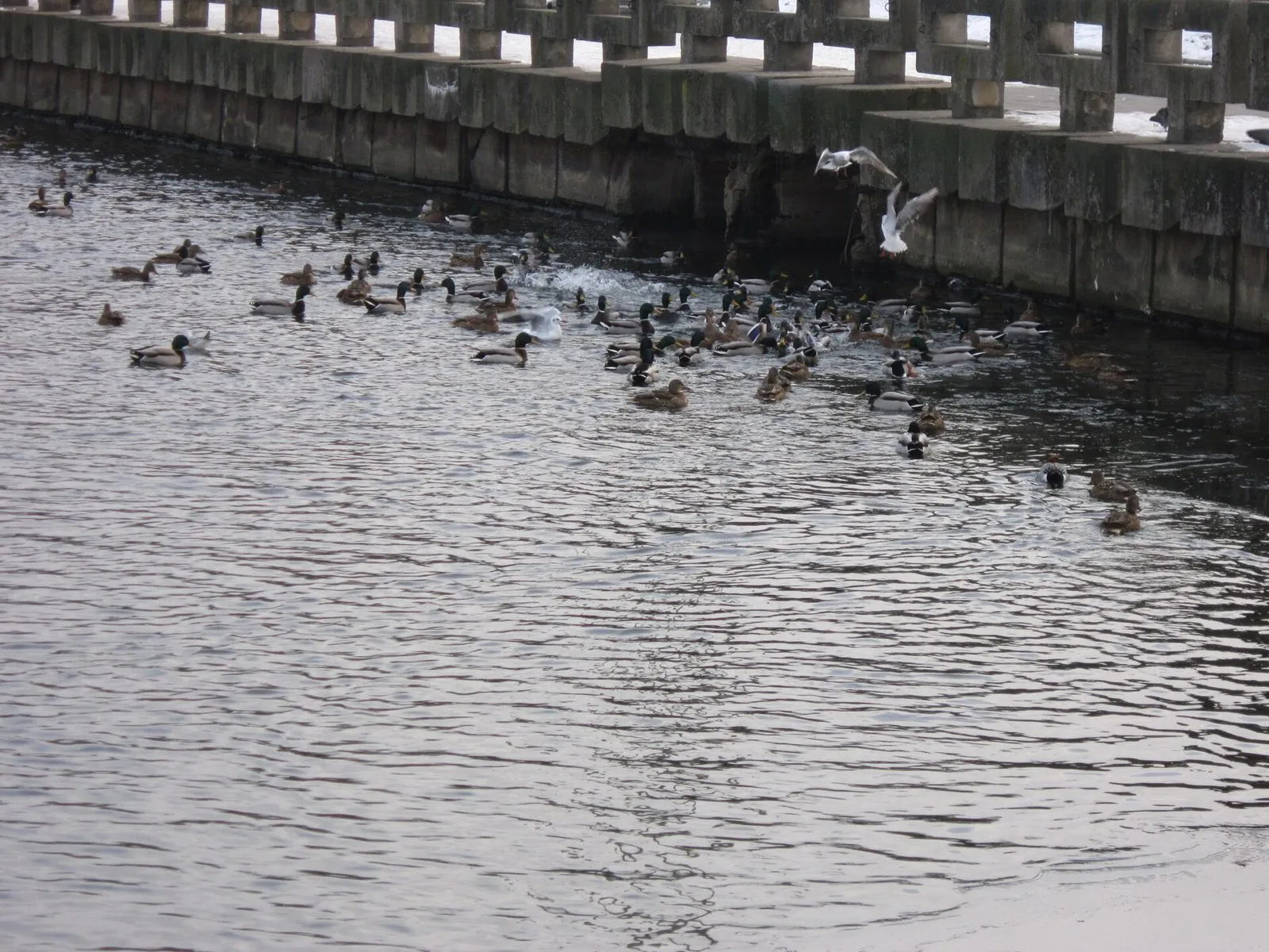
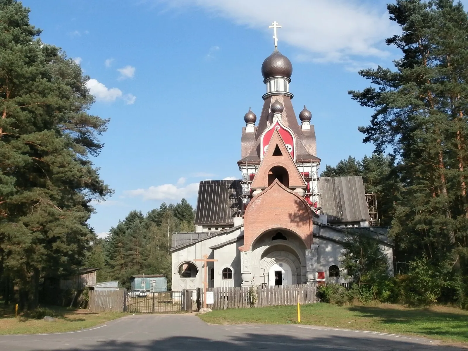
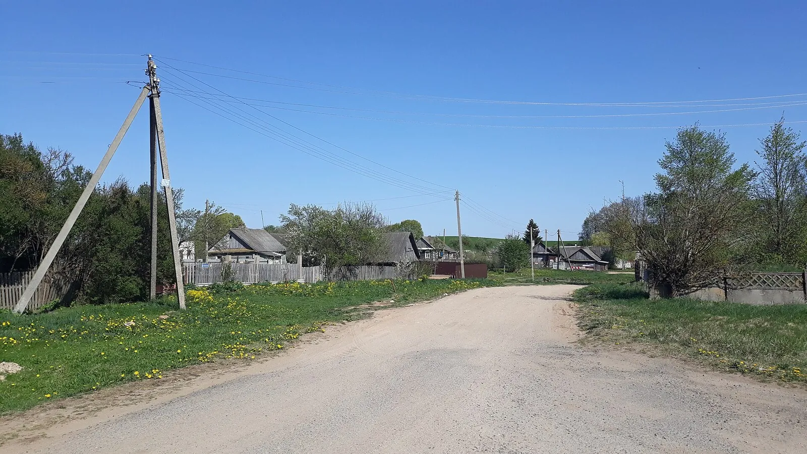
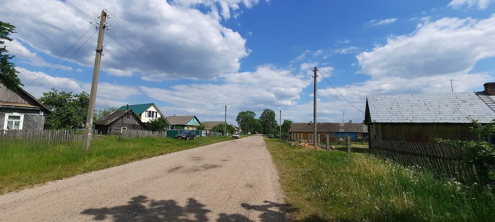
Авторы и источники фотографий
-
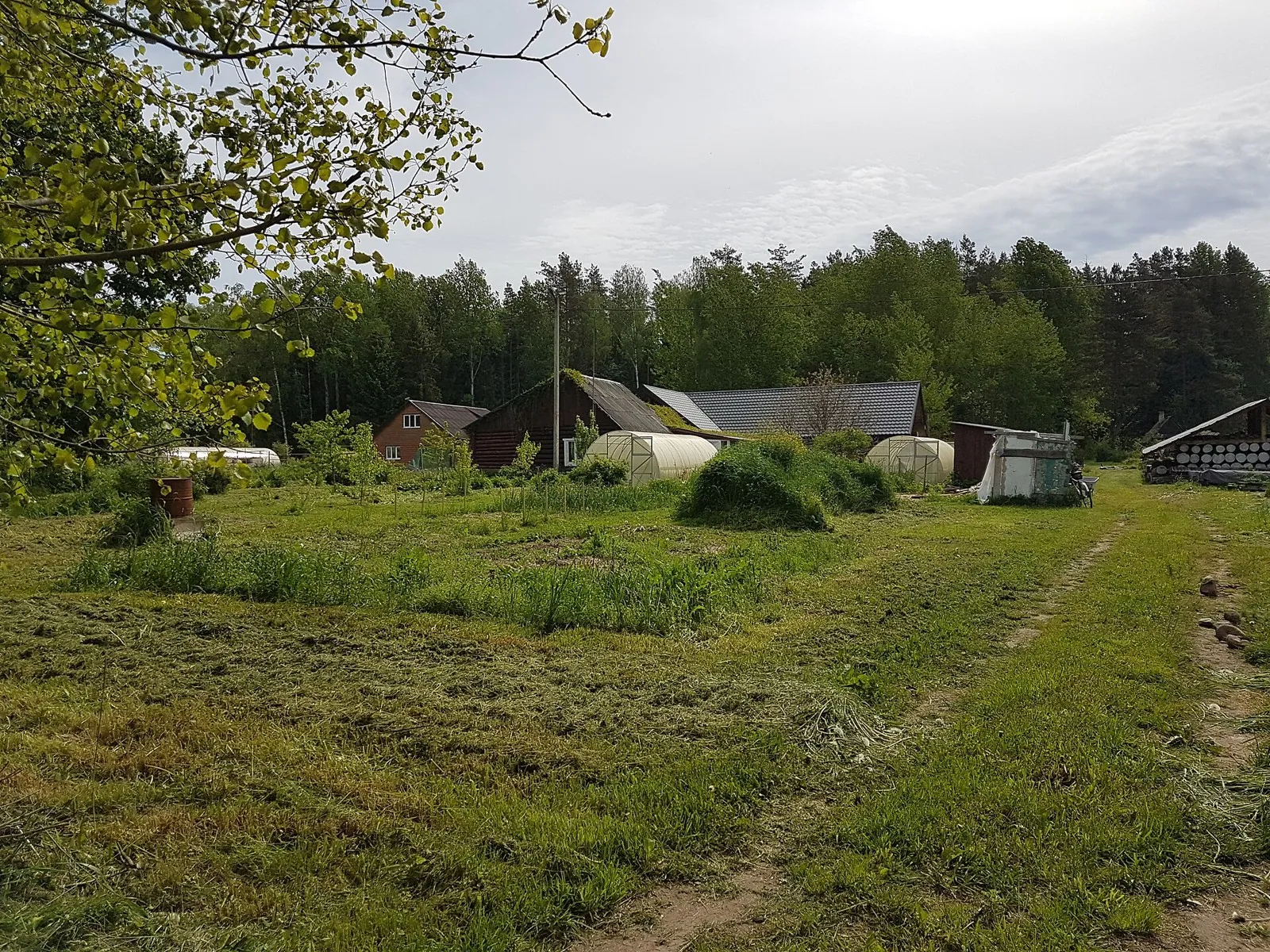
File:Navinka, Dziaržynsk District (2).jpg
Zelyoniy.antonПервоисточник
; WebP, max 1800×1200 px, no crop
-
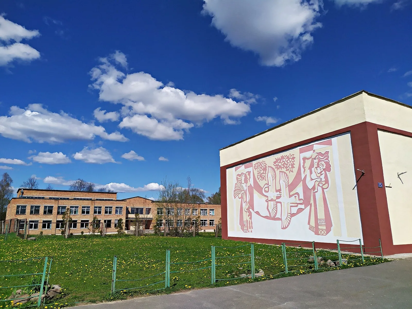
File:Niamiha.jpg
HomoatroxПервоисточник
; WebP, max 1800×1200 px, no crop
-
File:Church of the Ascension of Christ in Zhdanovichi 23 August 2014.jpg
Pjotr MahhoninПервоисточник
; WebP, max 1800×1200 px, no crop
-
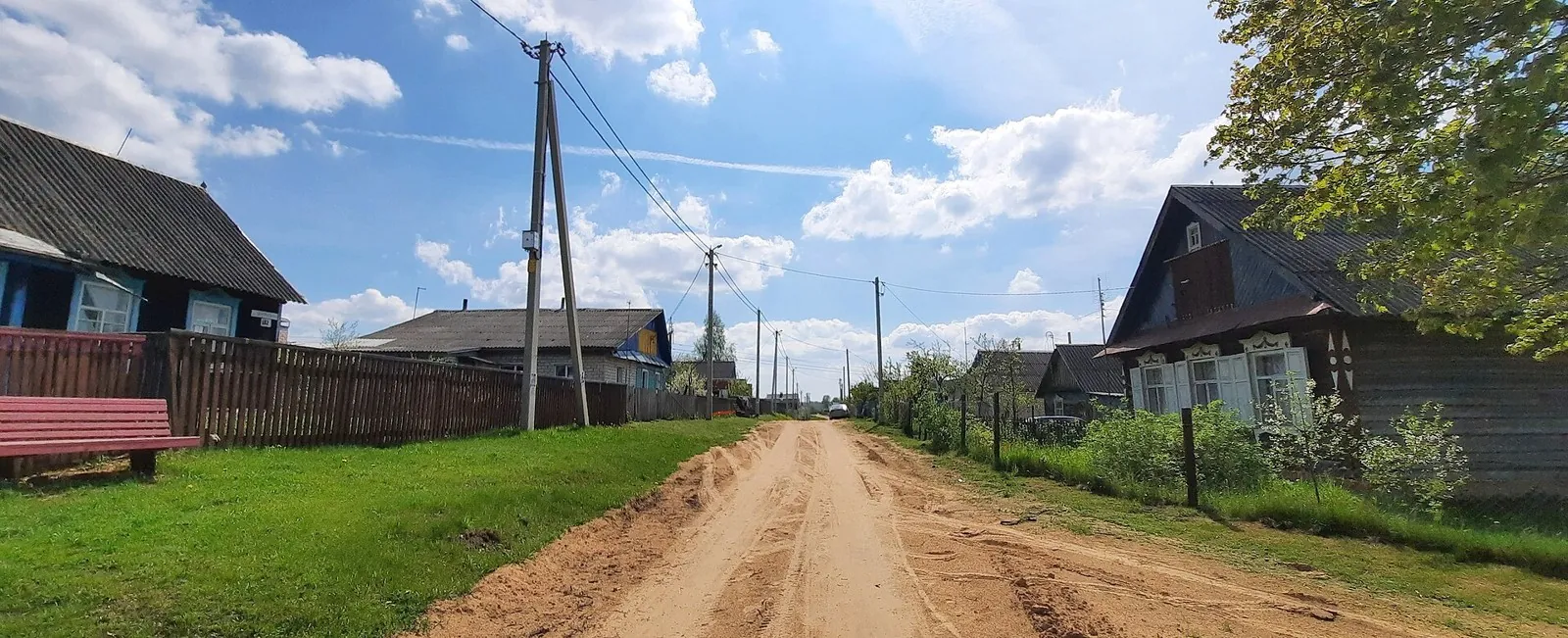
File:Kazly, Dziaržynsk District (2).jpg
Zelyoniy.antonПервоисточник
; WebP, max 1800×1200 px, no crop
-
File:Malaja Usa (02).jpg
Zelyoniy.antonПервоисточник
; WebP, max 1800×1200 px, no crop
 201.5 km
Обсуждение
Комментарии 0
Войдите, чтобы читать обсуждение и оставлять комментарии.
Можно задать вопрос о маршруте, покрытии или поделиться своим опытом.