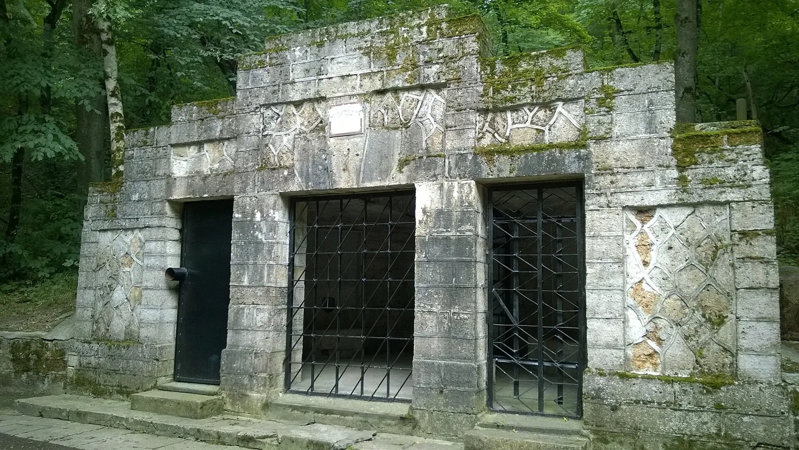


Walking Route in the Caucasus — 3,6 km
- Distance
- 3.6 km
- Time
- 1 h 14 min
- Elevation gain
- 80 m
- Difficulty
- Easy


Route description

Route status
We check how fresh the track data is and take community reports into account

No access bans or fires nearby
We check satellite fire data and regional warnings.
More about the route’s condition No recent trail condition reports


This route was added from a track. Individual sections have not been checked in the field.
Route data was imported from GPX and has not been field-verified.

Before travelling, check trail access, restrictions and the weather forecast.

Conditions may have changed. Share a report after completing the route.

Recent completions
Be the first to confirm a completion and help other travellers.
Elevation profile
There is no elevation data in the track for the chart.
 Surface
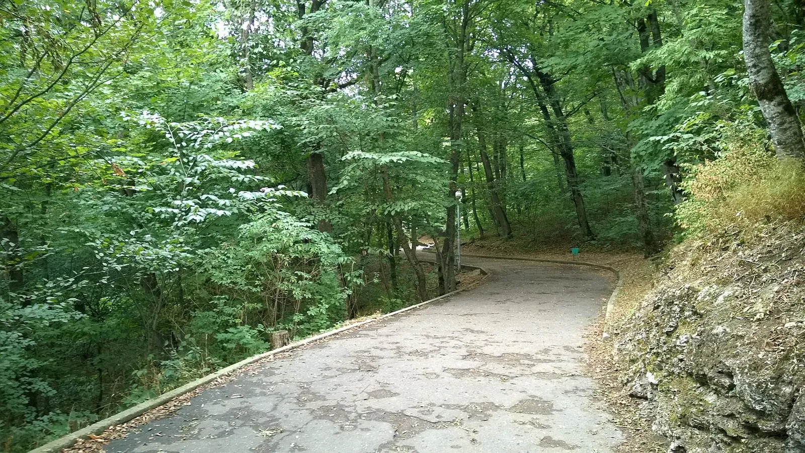
Paving stones 79% · Asphalt 17%
Surface is defined for 96% of the route.
Before you go
Everything important about the route
 Route at a glance
The essentials in a minute
- Length
- 3.6 km
- Elevation gain
- 80 m
- Surface
- Paving stones 79%




 Route suitability
Who will enjoy it
 Nearby
Getting there
Options and key points
 Show on map

 Without a car
 By car
 Parking
Trains there and back
Timetable for the date and the time you need to set off by
 What to expect
Places


 Difficult sections and safety
What to watch out for
Elevation gainTotal elevation gain — 80 m.
SurfacePaving stones 79%, Asphalt 17%.
 Risks
The modelled route distance is 3.59 km.
Check current surface conditions, closures and weather hazards before setting out.
 How much time to allow
Estimate your pace
Estimated moving time
1 h 14 min
 With time for stops
+ 30–60 min
 Estimated moving time is about 1.1 hours; allow extra time for stops and navigation.
 Best time to go
Seasons and advice


 What to bring
A basic list for a comfortable hike




FAQ
Questions before the trip
Can I do this route without a car?
A verified public transport plan has not been added yet. Before travelling, compare the start point on the map with the current timetable
Is this route suitable for children?
Most likely yes: the route is short and easy, but still check weather, surface, and safe rest spots before going.
Can I download GPX and KML?
Yes, GPX and KML are available on the route page. Open the map, download the file, and use it in a navigator before your trip; key route facts: 3.6 km, easy.
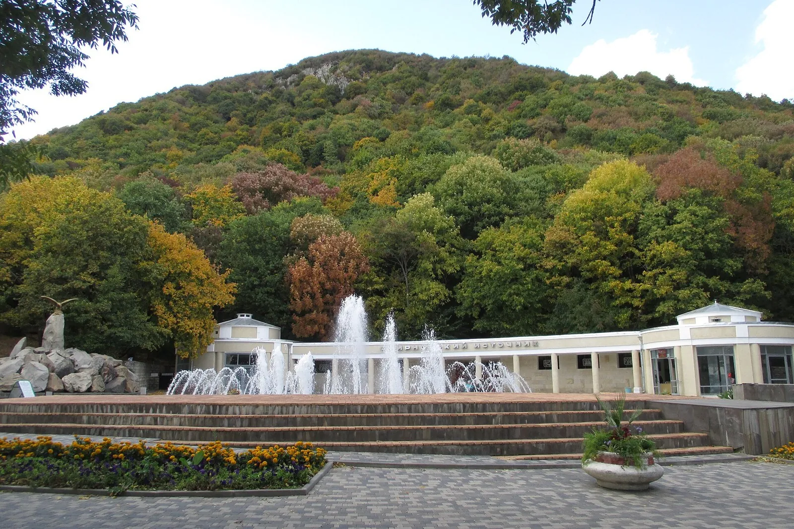
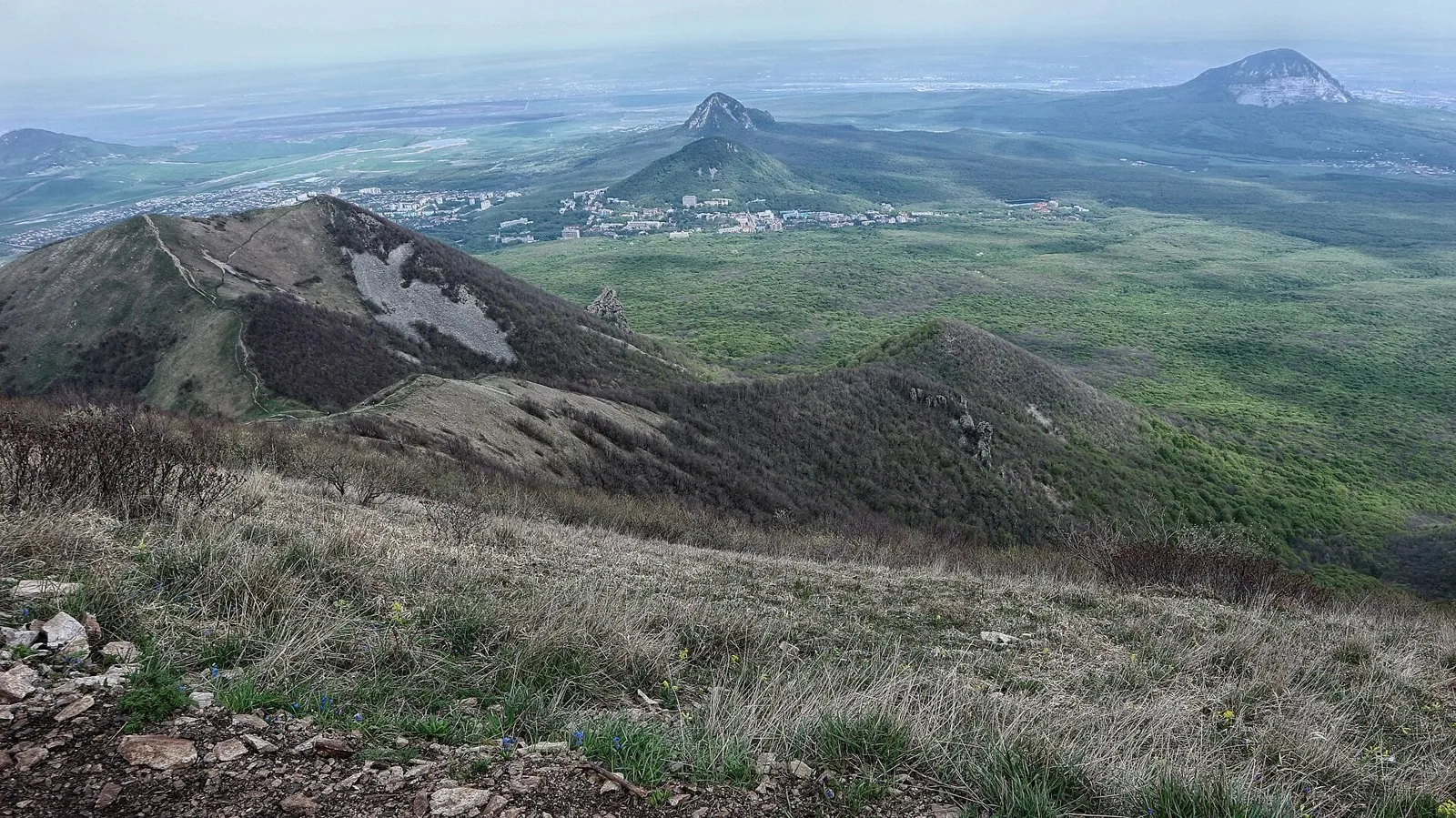
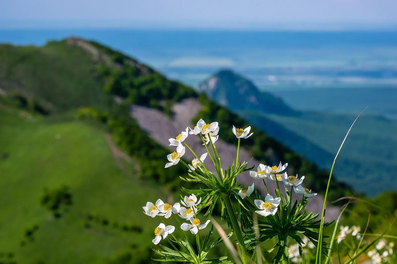
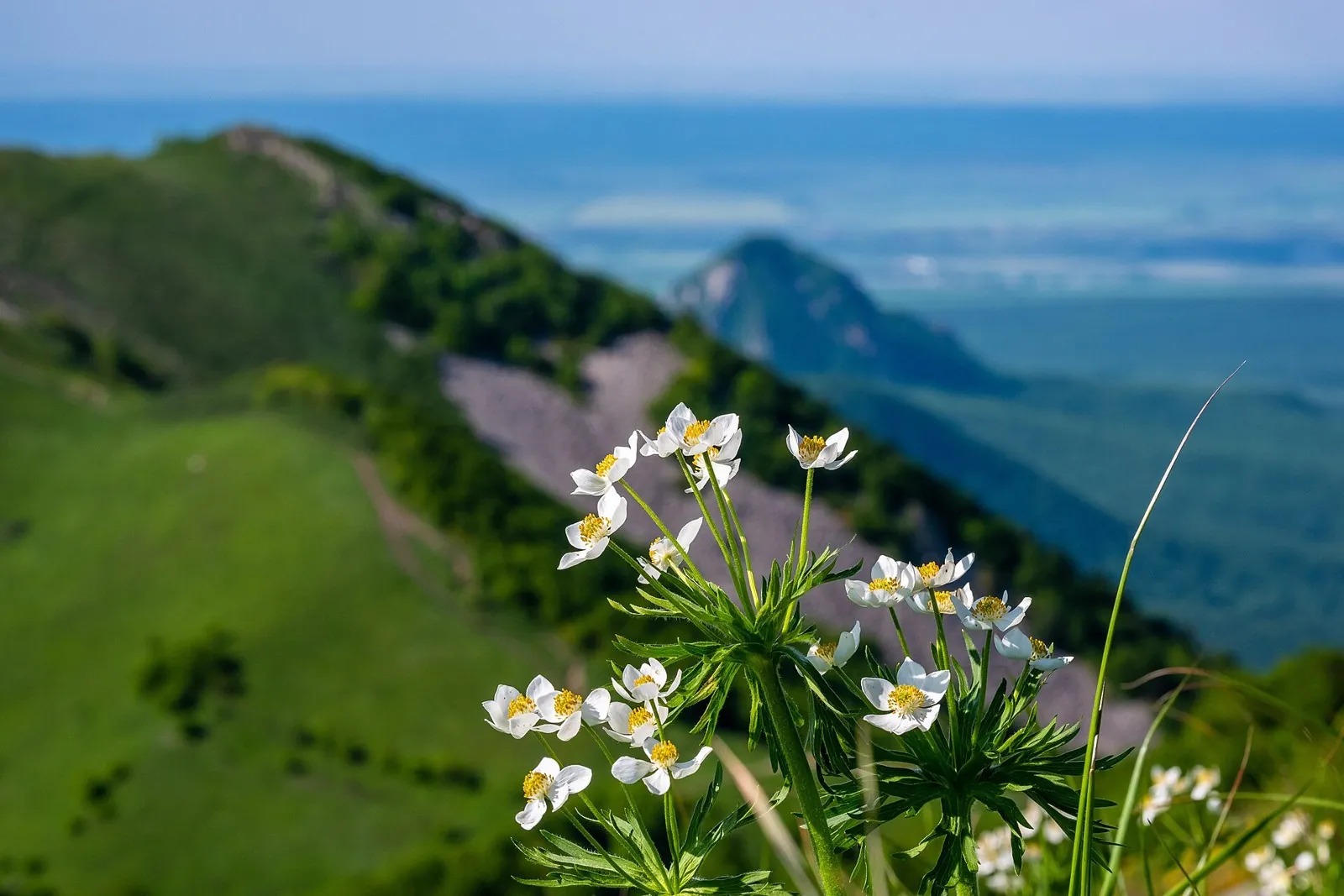
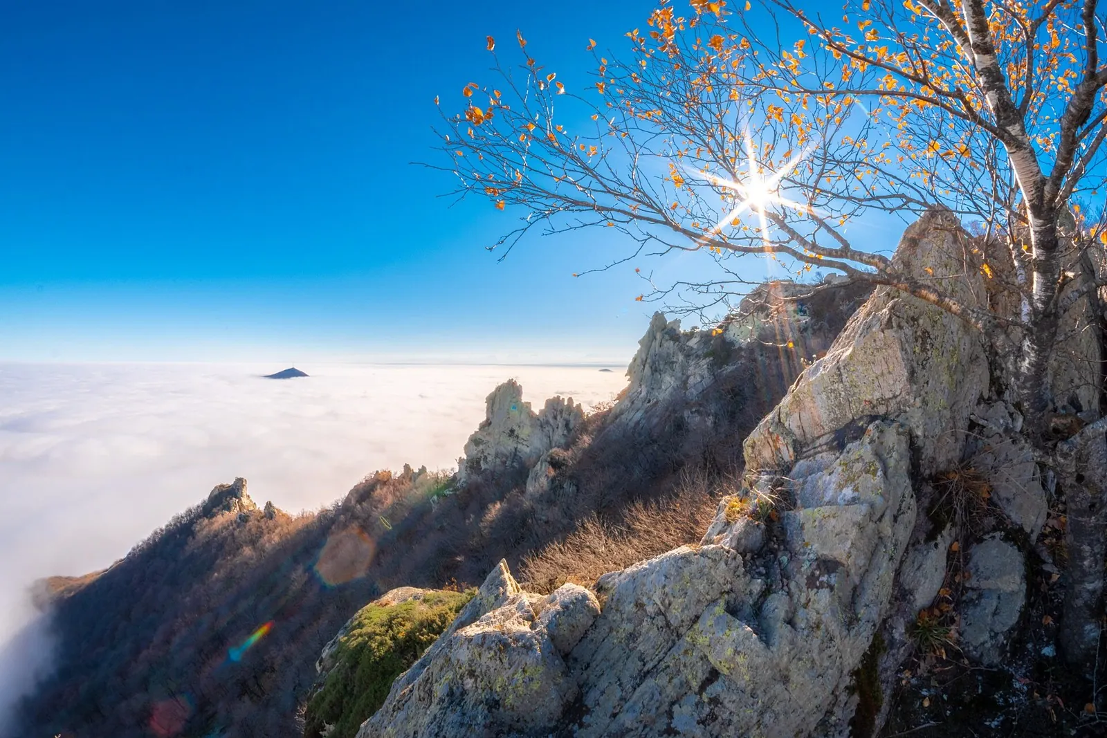
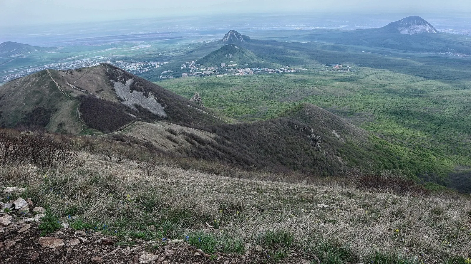
Route photos
4 photos
Discussion
Comments 0
Log in to read the discussion and leave comments.
Ask about the route or its surface, or share your experience.