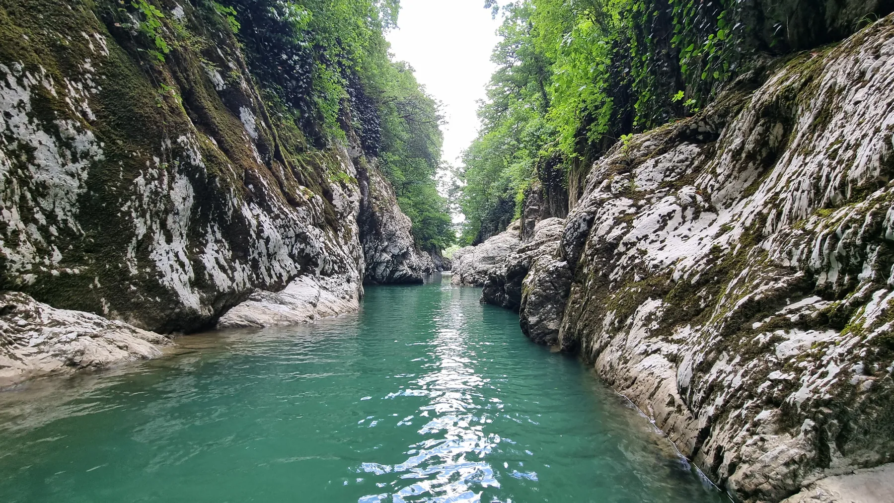
Irkutsk Region Walking Route — 3.1 km
The loop hiking route “Irkutsk Region Walking Route — 3.1 km” is approximately 3.1 km long. The route provides a ready-ma…

Небольшие маршруты для прогулки, тренировки или семейного выхода.
Подборка
На этой странице собраны короткие маршруты и связанные материалы по региону Иркутская область. Используйте карточки маршрутов, GPX и карту TrailTrack, чтобы быстро выбрать подходящий вариант.
14 routes
The loop hiking route “Irkutsk Region Walking Route — 3.1 km” is approximately 3.1 km long. The route provides a ready-ma…
The multi-section hiking route “Nature and Heritage Trail in the V. P. Sukachyov Estate Memorial Park” is approximately 0…
The point-to-point hiking route “Trail to Devil's Gate” is approximately 3.6 km long. The route provides a ready-made lin…
The multi-section hiking route “Routes to Bolshaya Osinovka around the Settling Ponds” is approximately 1.8 km long, with…
The point-to-point hiking route “Sinichka Bay to Cormorant Rock” is approximately 2.3 km long, with about 50 m of ascent …
The point-to-point hiking route “Peschanaya Bay to the Viewpoint Rock” is approximately 1.3 km long. The line follows a s…
The point-to-point hiking route “Peschanaya Bay to Sukhaya Bay” is approximately 8.3 km long, with about 330 m of ascent …
The point-to-point hiking route “To the Rock Outcrop in the Upper Bolshaya Olkha” is approximately 7.3 km long, with abou…
The multi-section hiking route “Vorota Tract and Return to Glubokaya” is approximately 8.9 km long, with about 320 m of a…
The point-to-point hiking route “To the 1,068 m Summit Rock” is approximately 8.2 km long, with about 420 m of ascent fro…
The multi-section hiking route “Trails into the Taltsinsky Cirque” is approximately 7.1 km long, with about 600 m of asce…
The point-to-point hiking route “Equilibrium Rock” is approximately 4.2 km long. The route provides a ready-made line for…
The loop hiking route “Viewpoint above Sails Rock on the Circum-Baikal Railway” is approximately 6.2 km long, with about …
Key places on the way include Slyudyanka, Chersky Peak, and Heart Lake. Woodland and local roads alternate with bays, bea…
Материалы
FAQ
Смотрите дистанцию и набор высоты. Для спокойного выезда начинайте с коротких маршрутов, а сложные варианты оставляйте для подготовленной группы.
Проверяйте сезонность. Зимой часть маршрутов может требовать лыж, снегоступов или другой подготовки, а после дождей грунт меняется.
Открывайте карту и GPX. Карточки TrailTrack помогают заранее оценить трек, точки, покрытие и логистику.
Похожие страницы