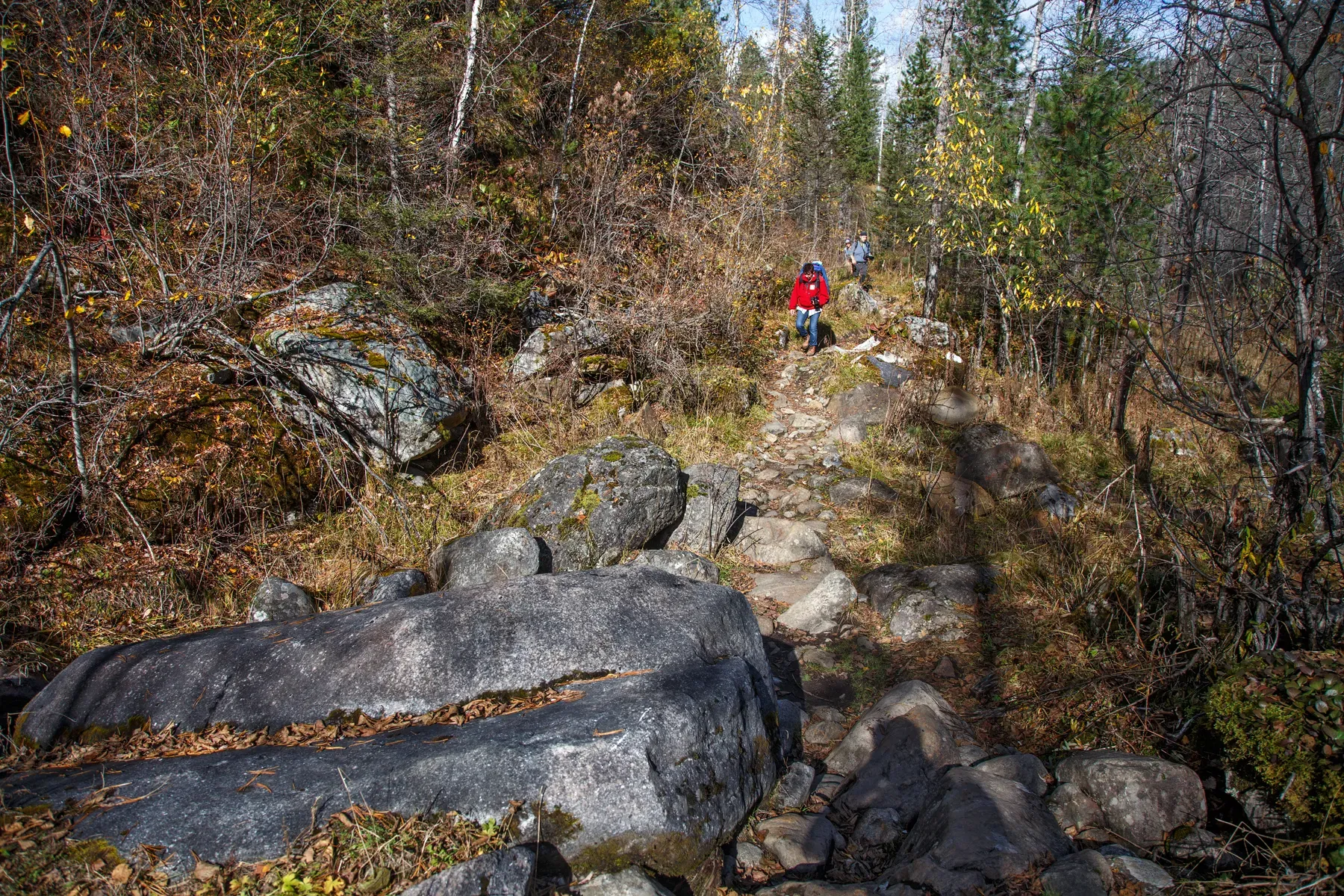
Pine Forest
The multi-section cycling route “Pine Forest” is approximately 15.9 km long. The track provides a ready-made cycling line…

Сбалансированные маршруты для уверенного активного дня.
Подборка
На этой странице собраны маршруты средней сложности и связанные материалы по региону Иркутская область. Используйте карточки маршрутов, GPX и карту TrailTrack, чтобы быстро выбрать подходящий вариант.
15 routes
The multi-section cycling route “Pine Forest” is approximately 15.9 km long. The track provides a ready-made cycling line…
The multi-section cross-country ski route “Bolshaya Olkha to Lake Baikal: Trudny–Slyudyanka Ski Section” is approximately…
The loop cross-country ski route “Ski Route across Yershovsky Bay” is approximately 19.5 km long, with about 330 m of asc…
The loop cross-country ski route “Yershovsky Bay Ski Loop” is approximately 17.2 km long, with about 520 m of ascent from…
The loop cross-country ski route “Orlyonok–Smolensky Spring–Old Fortress–Bolshaya Olkha Ski Route” is approximately 17.0 …
The point-to-point hiking route “Trail to Chersky Peak” is approximately 24.6 km long. The route climbs towards Chersky P…
The multi-section hiking route “Great Baikal Trail Section” is approximately 14.1 km long, with about 550 m of ascent fro…
The multi-section hiking route “Bolshoye Goloustnoye to Listvyanka Trails” is approximately 14.5 km long, with about 670 …
The point-to-point hiking route “Peschanaya Bay to Sukhaya Bay” is approximately 8.3 km long, with about 330 m of ascent …
The point-to-point hiking route “Dyrovataya Bay to the Overnight Camp” is approximately 12.0 km long, with about 210 m of…
The point-to-point hiking route “Overnight Camp to Buguldeyka” is approximately 16.3 km long, with about 170 m of ascent …
The point-to-point hiking route “Sukhaya Bay to Dyrovataya Bay” is approximately 11.2 km long, with about 360 m of ascent…
The point-to-point hiking route “To the Rock Outcrop in the Upper Bolshaya Olkha” is approximately 7.3 km long, with abou…
The multi-section hiking route “Vorota Tract and Return to Glubokaya” is approximately 8.9 km long, with about 320 m of a…
Notable places along the way include Chersky Peak, Slyudyanka, and Heart Lake. Woodland and valley sections gradually giv…
Материалы
FAQ
Смотрите дистанцию и набор высоты. Для спокойного выезда начинайте с коротких маршрутов, а сложные варианты оставляйте для подготовленной группы.
Проверяйте сезонность. Зимой часть маршрутов может требовать лыж, снегоступов или другой подготовки, а после дождей грунт меняется.
Открывайте карту и GPX. Карточки TrailTrack помогают заранее оценить трек, точки, покрытие и логистику.
Похожие страницы