Orange Route to the Chinese Wall
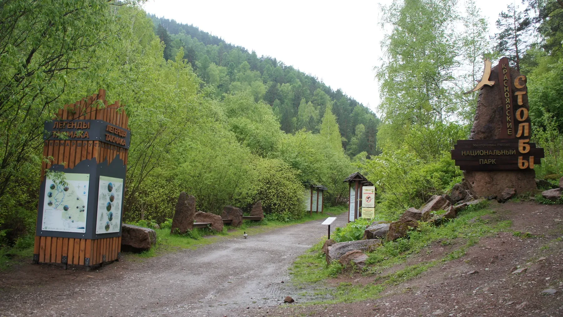
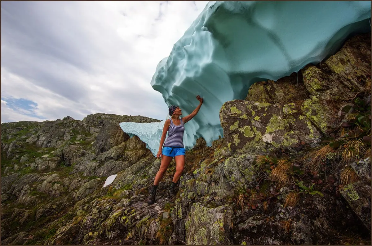
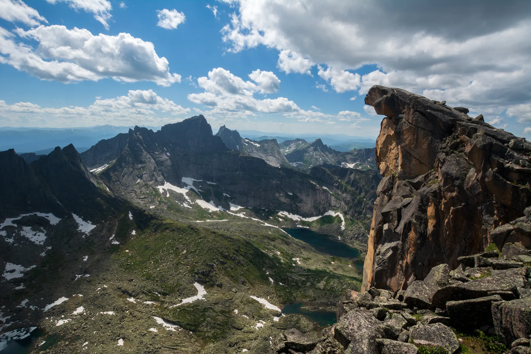
The point-to-point hiking route “Orange Route to the Chinese Wall” is approximately 4.2 km long. The route provides a rea…

Маршруты к водопадам, ручьям и живописной воде.
Подборка
На этой странице собраны маршруты к водопадам и связанные материалы по региону Красноярский край. Используйте карточки маршрутов, GPX и карту TrailTrack, чтобы быстро выбрать подходящий вариант.
49 routes
The point-to-point hiking route “Orange Route to the Chinese Wall” is approximately 4.2 km long. The route provides a rea…
The point-to-point hiking route “Light Blue Route around Takmak” is approximately 4.4 km long. The route provides a ready…
The point-to-point hiking route “Red Route to Maly Berkut and Takmak” is approximately 6.4 km long. The route provides a …
The point-to-point hiking route “Visitor Centre to Tushkanchik Pass” is approximately 4.1 km long. The route crosses moun…
The point-to-point hiking route “Lake Zolotarnoye via Zelyony and Pikantny Passes” is approximately 3.1 km long. The rout…
The point-to-point hiking route “Lake Svetloye to Lake Medvezhye” is approximately 0.7 km long. The route provides a read…
The point-to-point hiking route “Lake Svetloye, Jerboa Waterfall, Marble Lake, West Cadets’ Pass and Artists’ Lake” is ap…
The point-to-point hiking route “Dragon’s Tooth from Warm Lake” is approximately 1.8 km long. The route provides a ready-…
The point-to-point hiking route “Lake Svetloye to Pikantny Pass” is approximately 4.7 km long. The route combines mountai…
The multi-section water route “Tofalaria 2011: Approach Trek” is approximately 123.2 km long, with about 3350 m of ascent…
The multi-section water route “Tofalaria 2011: Rafting Section” is approximately 190.1 km long, with about 210 m of ascen…
The point-to-point water route “Tofalaria Expedition, 2013” is approximately 396.3 km long, with about 10800 m of ascent …
The multi-section cross-country ski route “Ergaki–Aradan Ski Expedition, 2019” is approximately 171.2 km long. The line i…
The multi-section hiking route “Yarygin Embankment” is approximately 5.0 km long. The line follows a shore, bay or cape s…
The point-to-point hiking route “Book of Nature Trail” is approximately 1.0 km long. The route provides a ready-made line…
The loop hiking route “Ergaki Lakes and Passes Loop” is approximately 54.5 km long, with about 1760 m of ascent from the …
The multi-section hiking route “Hanging Stone, Jerboa Pass and Lake Svetloye” is approximately 12.8 km long. The route co…
The multi-section hiking route “Jerboa Ranger Station to Lake Svetloye” is approximately 6.8 km long. The route provides …
The point-to-point hiking route “Lake of Mountain Spirits, Coloured Lakes and Dragon’s Tooth Peak” is approximately 4.0 k…
The multi-section hiking route “Lake Karovoye, Lake Khudozhnikov and Lake Svetloye” is approximately 19.3 km long. The ro…
The point-to-point hiking route “Borus Waterfalls” is approximately 2.0 km long. The main objective is the waterfall or c…
The loop hiking route “Karst Trail” is approximately 8.6 km long. The route provides a ready-made line for exploring the …
The loop hiking route “Bazaiskaya Trail” is approximately 7.0 km long. The route provides a ready-made line for exploring…
The loop hiking route “Davydov Loop Trail” is approximately 6.5 km long. The route provides a ready-made line for explori…
Материалы
FAQ
Смотрите дистанцию и набор высоты. Для спокойного выезда начинайте с коротких маршрутов, а сложные варианты оставляйте для подготовленной группы.
Проверяйте сезонность. Зимой часть маршрутов может требовать лыж, снегоступов или другой подготовки, а после дождей грунт меняется.
Открывайте карту и GPX. Карточки TrailTrack помогают заранее оценить трек, точки, покрытие и логистику.
Похожие страницы