

Visitor Centre to Tushkanchik Pass
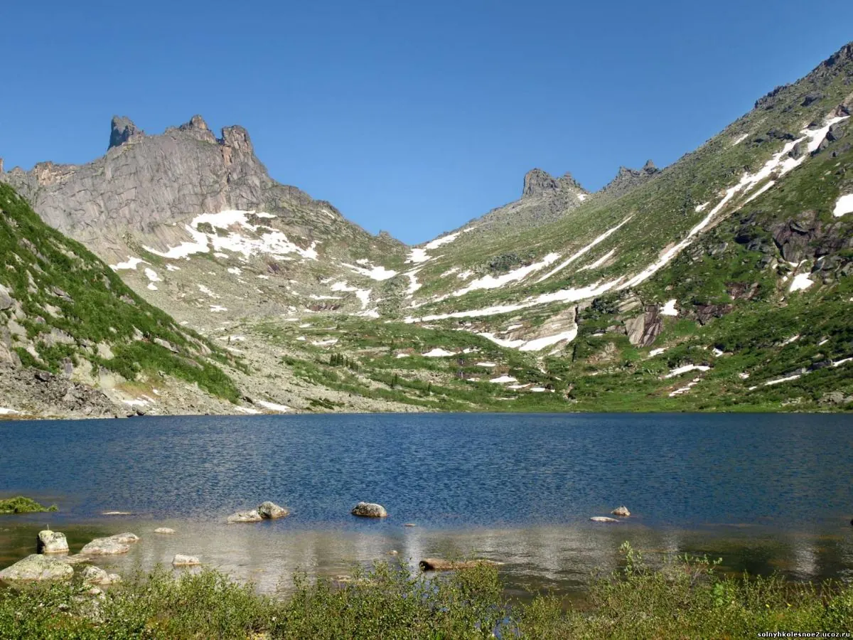
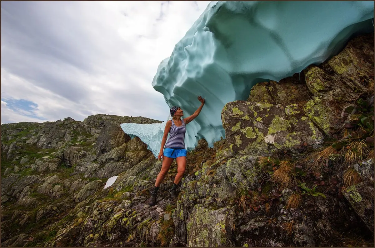
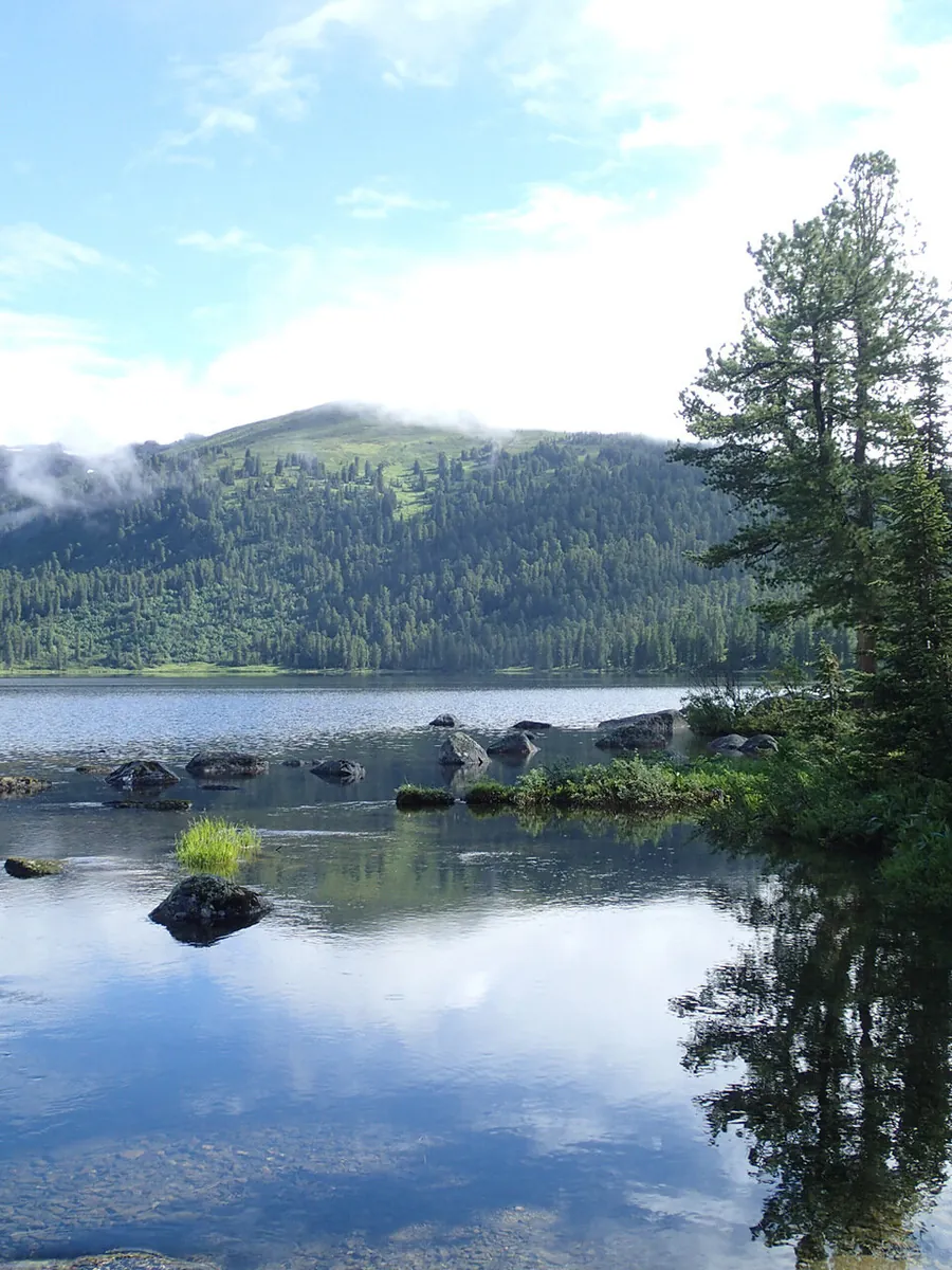
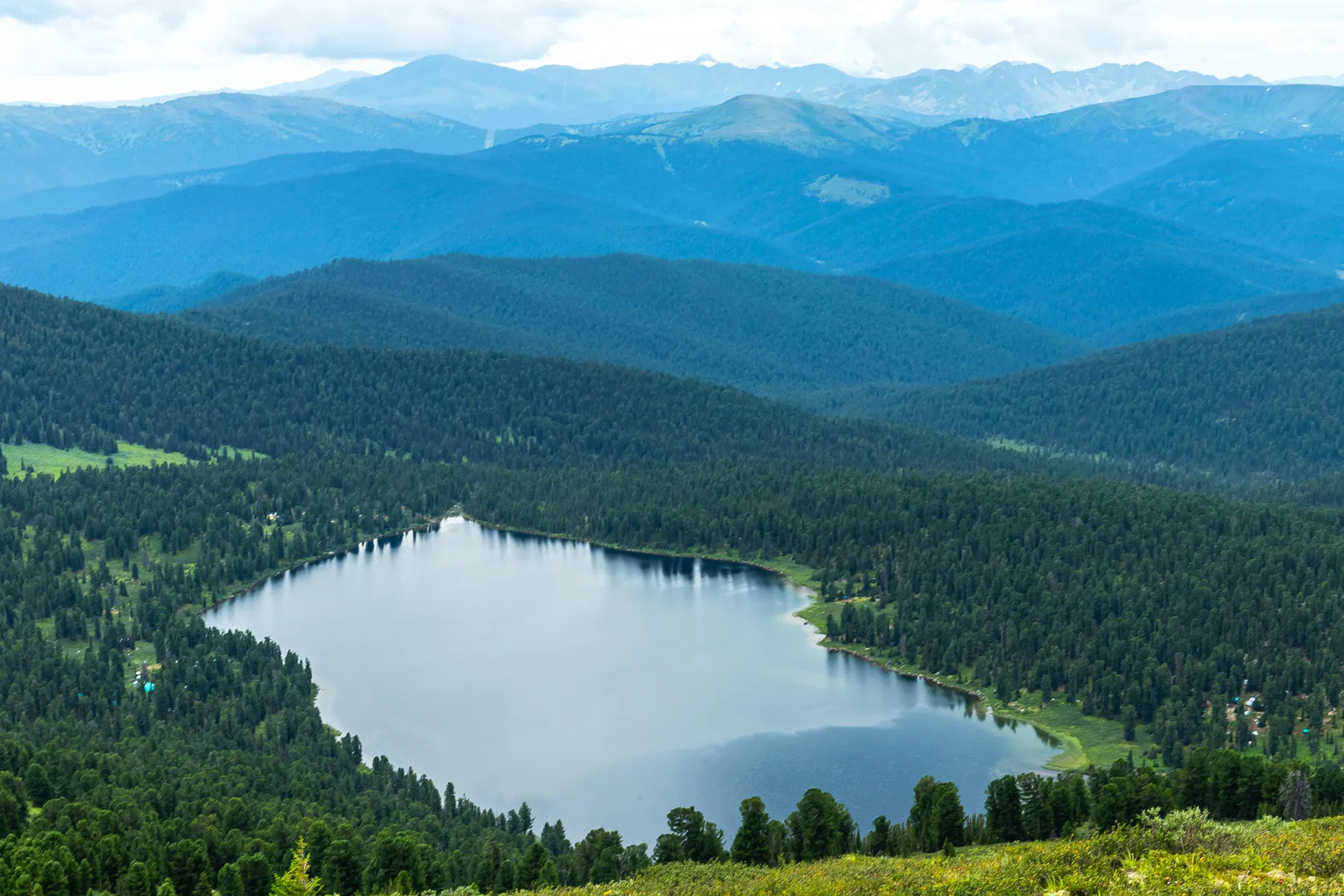
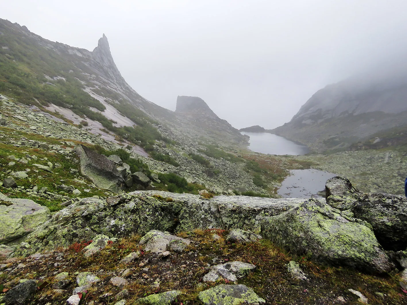
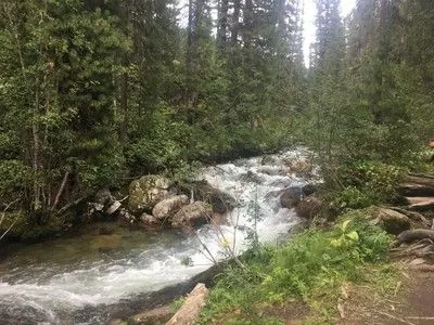
The point-to-point hiking route “Visitor Centre to Tushkanchik Pass” is approximately 4.1 km long. The route crosses moun…

Маршруты с видовыми точками, обзорными местами и красивыми панорамами.
Подборка
На этой странице собраны панорамные маршруты и связанные материалы по региону Красноярский край. Используйте карточки маршрутов, GPX и карту TrailTrack, чтобы быстро выбрать подходящий вариант.
14 routes
The point-to-point hiking route “Visitor Centre to Tushkanchik Pass” is approximately 4.1 km long. The route crosses moun…
The point-to-point hiking route “Lake Zolotarnoye via Zelyony and Pikantny Passes” is approximately 3.1 km long. The rout…
The point-to-point hiking route “Lake Svetloye, Jerboa Waterfall, Marble Lake, West Cadets’ Pass and Artists’ Lake” is ap…
The point-to-point hiking route “Lake Svetloye to Pikantny Pass” is approximately 4.7 km long. The route combines mountai…
The multi-section water route “Tofalaria 2011: Approach Trek” is approximately 123.2 km long, with about 3350 m of ascent…
The multi-section water route “Tofalaria 2011: Rafting Section” is approximately 190.1 km long, with about 210 m of ascen…
The point-to-point water route “Tofalaria Expedition, 2013” is approximately 396.3 km long, with about 10800 m of ascent …
The loop hiking route “Ergaki Lakes and Passes Loop” is approximately 54.5 km long, with about 1760 m of ascent from the …
The multi-section hiking route “Hanging Stone, Jerboa Pass and Lake Svetloye” is approximately 12.8 km long. The route co…
The point-to-point hiking route “Lake of Mountain Spirits, Coloured Lakes and Dragon’s Tooth Peak” is approximately 4.0 k…
The point-to-point hiking route “Waterfall at the Foot of the Borus Ridge” is approximately 8.7 km long, with about 710 m…
Among the main landmarks are Jerboa Ranger Station – Lake Svetloye, Ergaki Nature Park, and Lake Svetloye. Woodland and v…
Key places on the way include Ergaki Nature Park, Lake Svetloye, and Lake of the Artists. Woodland and valley sections gr…
Notable places along the way include Krasnoyarsk Stolby National Park, Takmak, and Chinese Wall. Woodland and valley sect…
Материалы
FAQ
Смотрите дистанцию и набор высоты. Для спокойного выезда начинайте с коротких маршрутов, а сложные варианты оставляйте для подготовленной группы.
Проверяйте сезонность. Зимой часть маршрутов может требовать лыж, снегоступов или другой подготовки, а после дождей грунт меняется.
Открывайте карту и GPX. Карточки TrailTrack помогают заранее оценить трек, точки, покрытие и логистику.
Похожие страницы