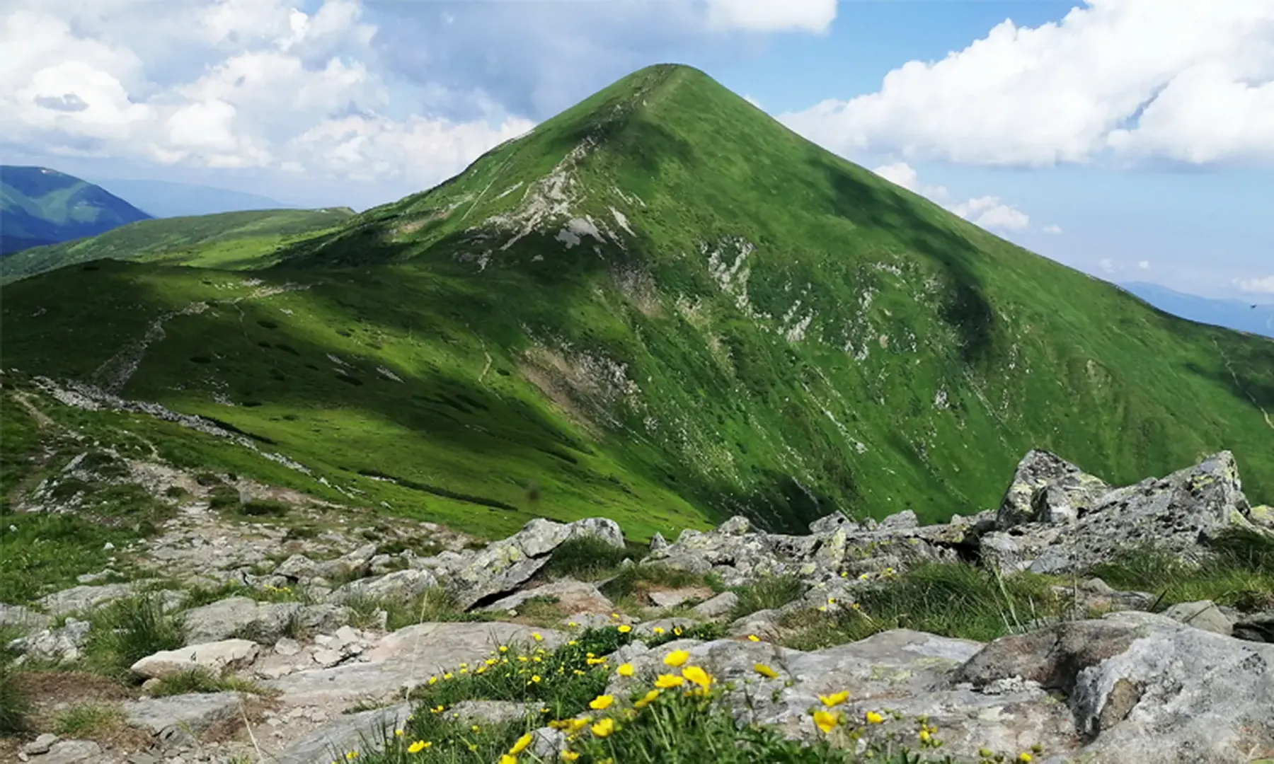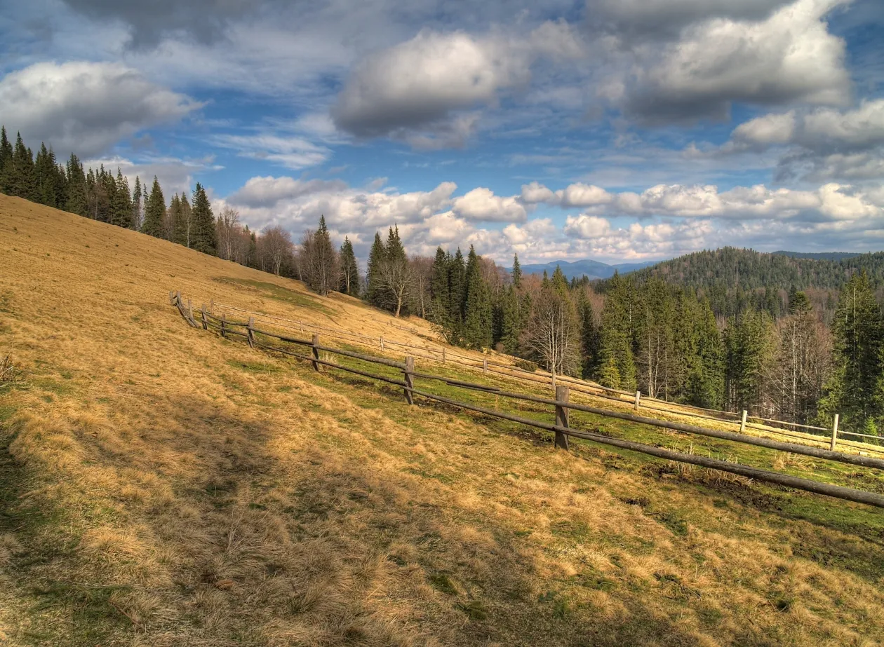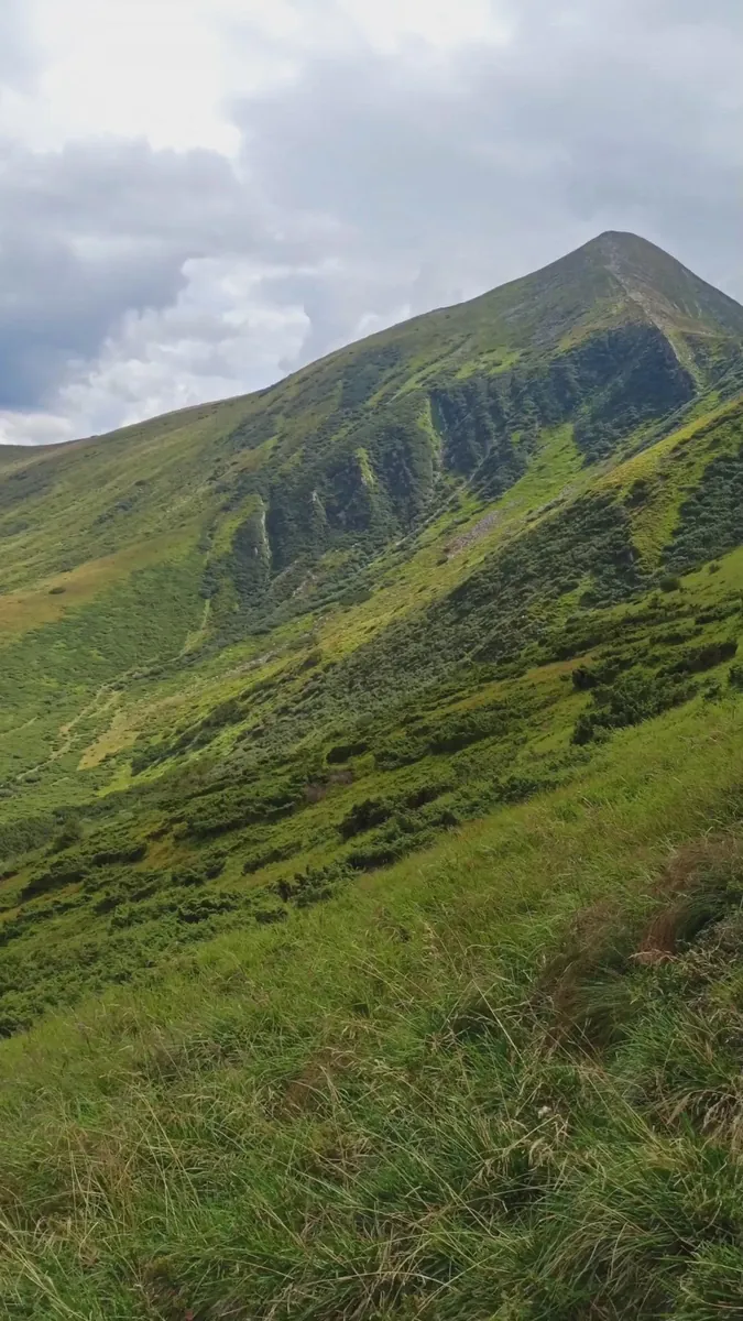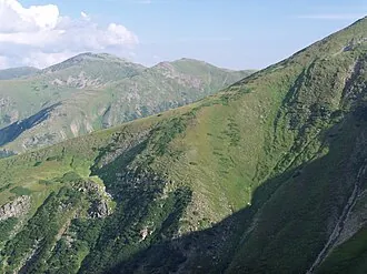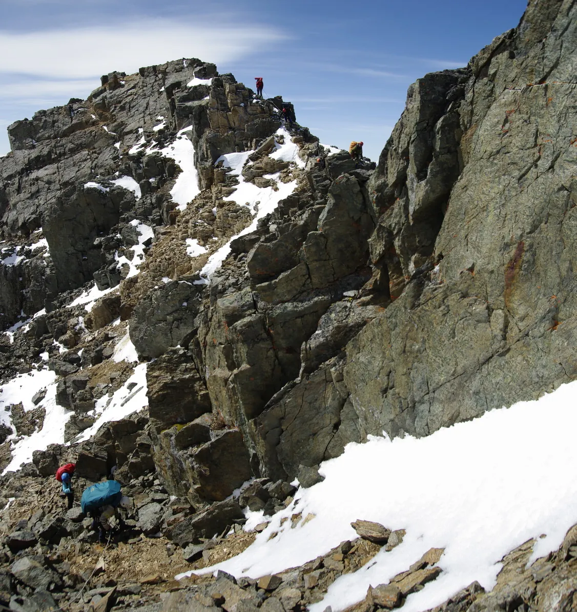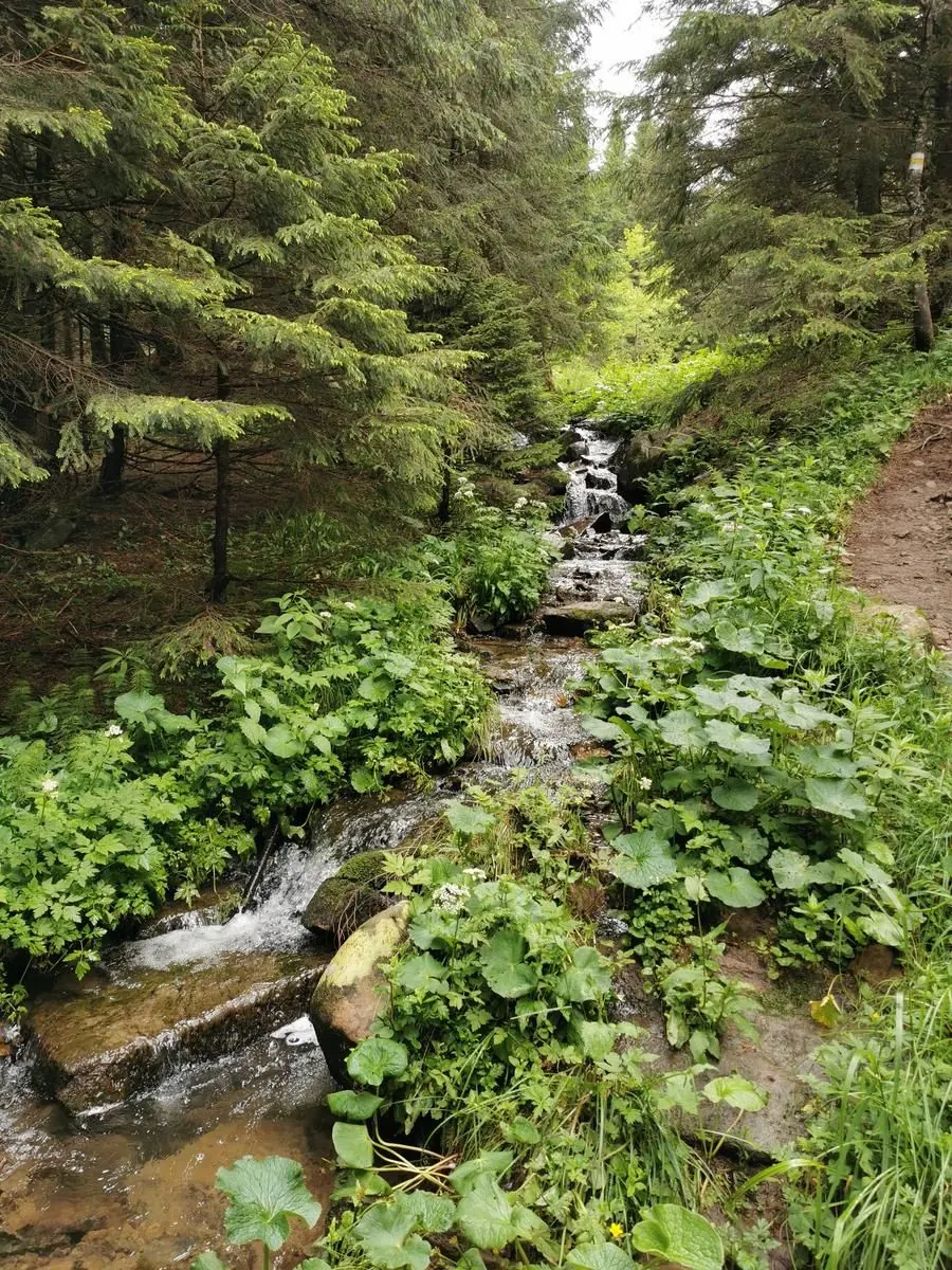


Zarosliak - lake Nesamovite: ascent k vysokogornomu ozeru Chernogory
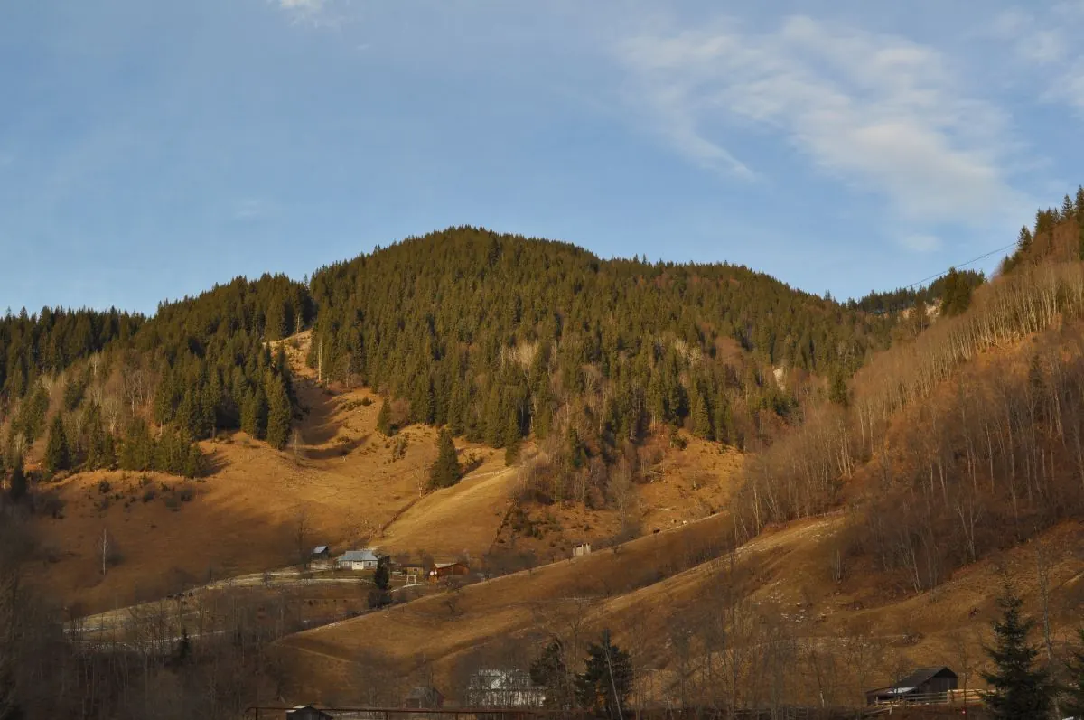
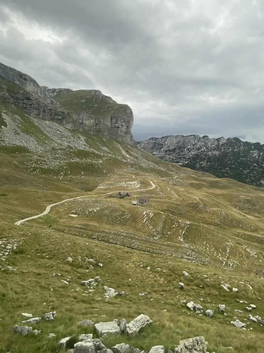
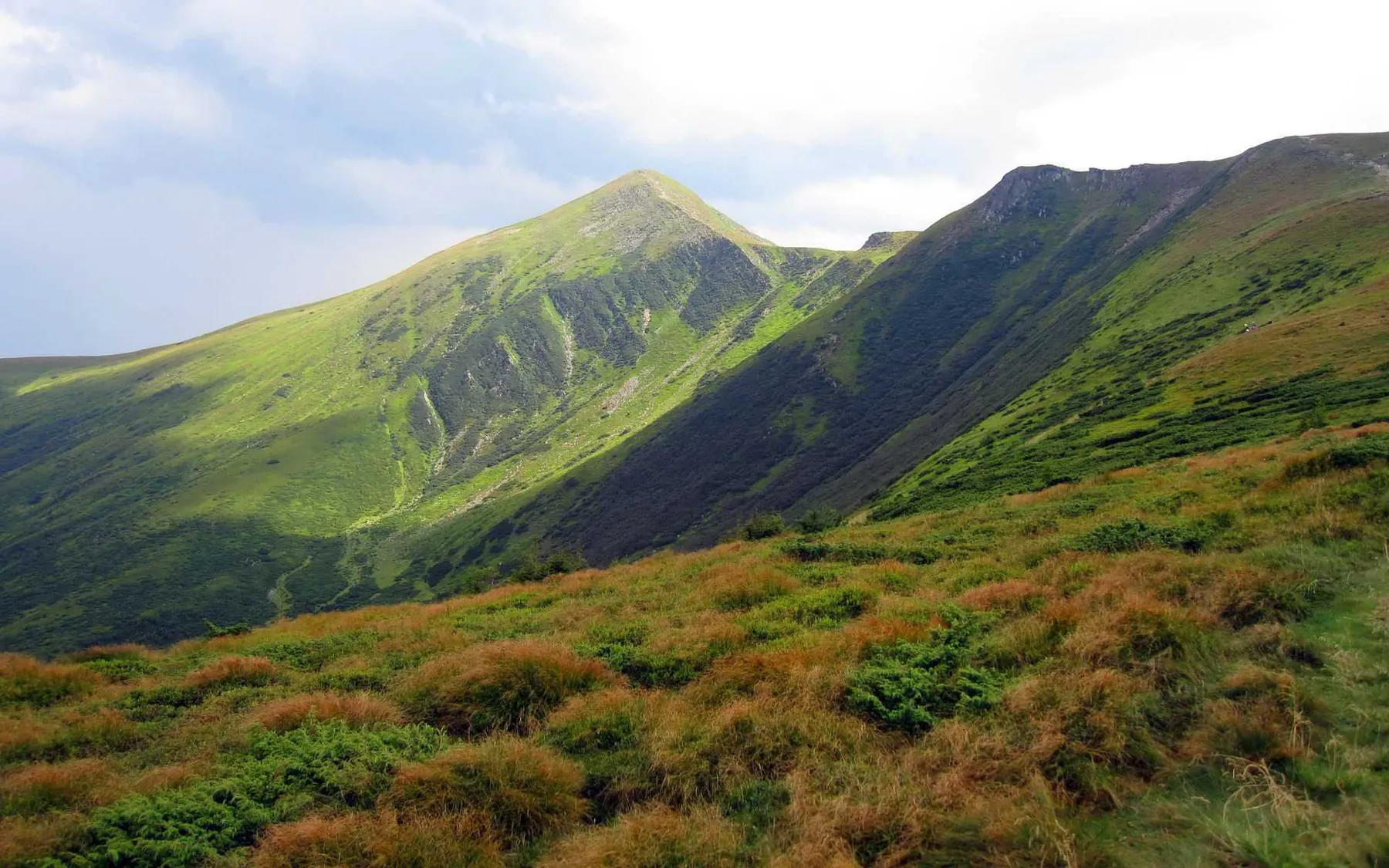
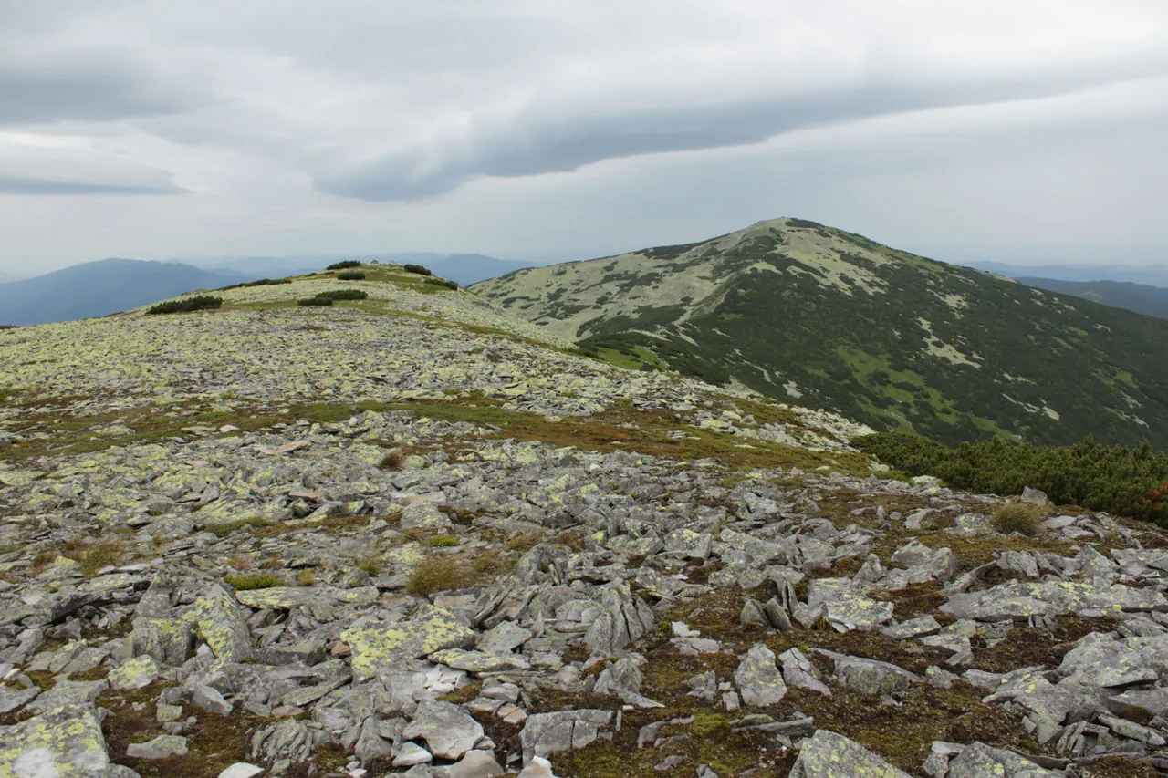
Key places on the way include Zarosliak, Lake Nesamovyte, and Chornohora. Woodland and valley sections gradually give way…

Однодневные трейлы с картой, параметрами и полезными материалами.
Подборка
На этой странице собраны однодневные трейлы и связанные материалы по региону Украины. Используйте карточки маршрутов, GPX и карту TrailTrack, чтобы быстро выбрать подходящий вариант.
12 routes
Key places on the way include Zarosliak, Lake Nesamovyte, and Chornohora. Woodland and valley sections gradually give way…
Key places on the way include Dzembronia, Chufrova, and Hoverla. Woodland and valley sections gradually give way to mount…
Among the main landmarks are Chornohora, Hoverla, and Petros. Woodland and valley sections gradually give way to mountain…
Notable places along the way include Chornohora, Hoverla, and Petros. Woodland and valley sections gradually give way to …
Among the main landmarks are Kostrych, Chornohora, and Hoverla. Woodland and valley sections gradually give way to mounta…
The main points along the way are Zarosliak, Hoverla Blue, and Chornohora. Woodland and valley sections gradually give wa…
Notable places along the way include Chornohora, Hoverla, and Petros. Woodland and valley sections gradually give way to …
Notable places along the way include Zarosliak, Hoverla Green, and Chornohora. Woodland and valley sections gradually giv…
Notable places along the way include Chornohora, Hoverla, and Petros. Woodland and valley sections gradually give way to …
Among the main landmarks are Chornohora, Hoverla, and Petros. Woodland and valley sections gradually give way to mountain…
Notable places along the way include Chornohora, Hoverla, and Petros. Woodland and valley sections gradually give way to …
One-day hiking with clear details and difficulty hard.
Материалы
FAQ
Смотрите дистанцию и набор высоты. Для спокойного выезда начинайте с коротких маршрутов, а сложные варианты оставляйте для подготовленной группы.
Проверяйте сезонность. Зимой часть маршрутов может требовать лыж, снегоступов или другой подготовки, а после дождей грунт меняется.
Открывайте карту и GPX. Карточки TrailTrack помогают заранее оценить трек, точки, покрытие и логистику.
Похожие страницы