TrailTrack routes

Маршруты с подготовленным описанием, сложностью, покрытием и планированием визита.

Found 1895 routes
Choose a route from the list or view routes on the map.
Rakov Loop: via Zaslavl
✓ TrailTrack

Rakov Loop: via Zaslavl

КП2, Бояры, 64км · Bicycle · Multi-day

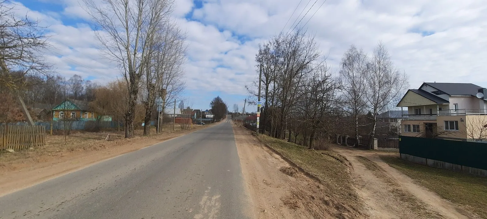
This 201.28 km circular cycling route passes through terrain where woodland is one of the route's main features. Gentle terrain: 466 m of total ascent over 201.28 km. Surface: asphalt. Allow at least 3 days and verify overnight and exit options independently.

201.3 km 72 +466 m Hard
Minsk Loop: hillside route
✓ TrailTrack

Minsk Loop: hillside route

КП Королищевичи, 23км · Bicycle · Multi-day

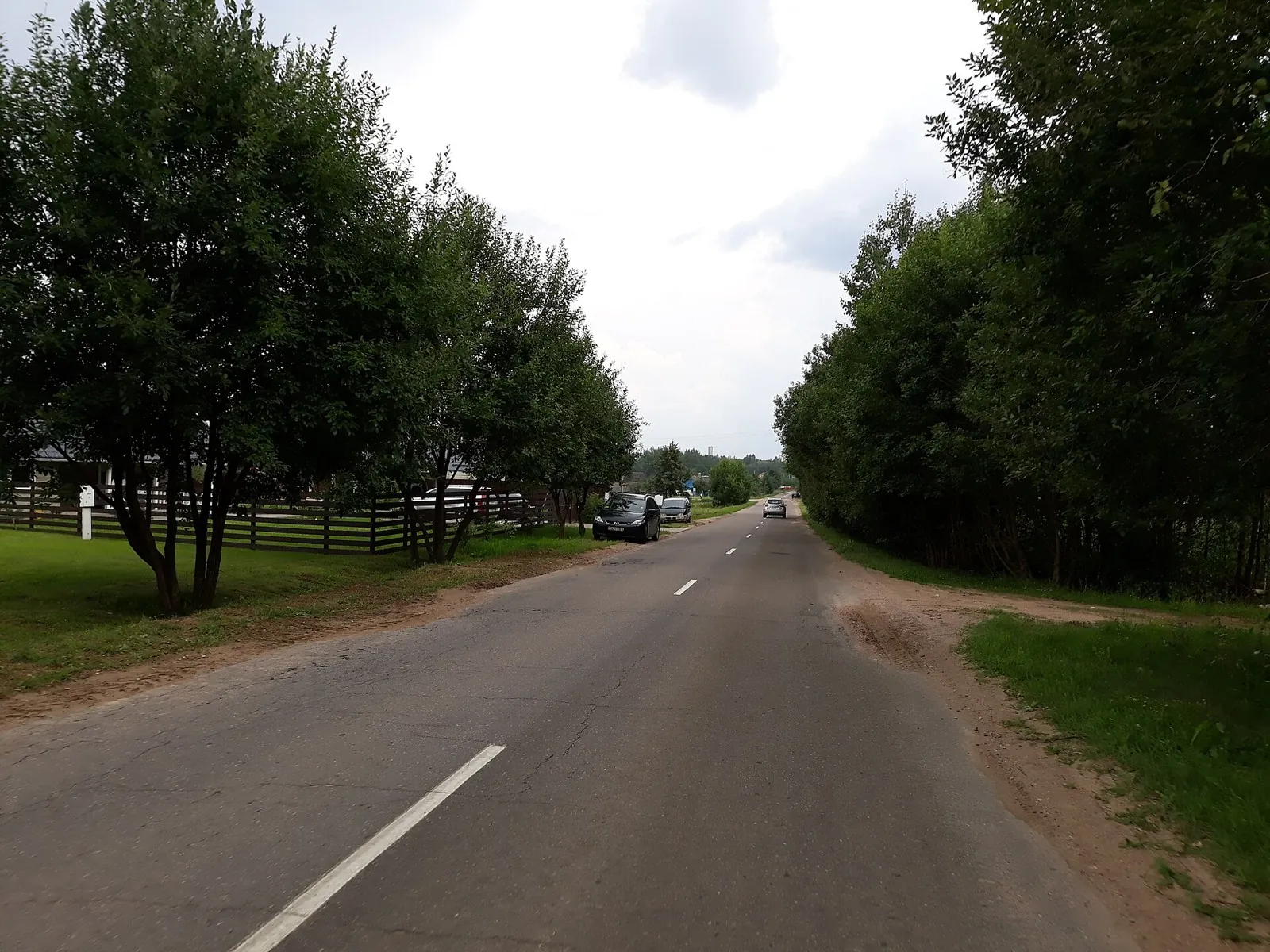
The recorded line is a 109.4 km circular cycling route, with woodland is one of the route's main features. Gentle terrain: 180 m of total ascent over 109.4 km. Surface: asphalt. Allow at least 2 days and verify overnight and exit options independently.

109.4 km 72 +180 m Hard
Winter Roads of the Uzda Region: via Tsnyanka
✓ TrailTrack

Winter Roads of the Uzda Region: via Tsnyanka

Bicycle · Multi-day

This 201.93 km circular cycling route passes through terrain where woodland is one of the route's main features. Gentle terrain: 764 m of total ascent over 201.93 km. Surface: asphalt plus concrete. Allow at least 3 days and verify overnight and exit options independently.

201.9 km 72 +764 m Hard
Cycleway to Ptich
✓ TrailTrack

Cycleway to Ptich

Bicycle · One-day

This 5.17 km point-to-point cycling route is shaped by its terrain, surface and pace rather than a single landmark. Gentle terrain: 40 m of total ascent over 5.17 km. Surface: asphalt. Estimated moving time is about 0.6 hours; add time for pauses and navigation.

5.2 km 72 +40 m Easy
Medvezhino Forest Cycling Circuit
✓ TrailTrack

Medvezhino Forest Cycling Circuit

Bicycle · One-day

Woodland is one of the route's main features along this 4.92 km circular cycling route. Rolling terrain: 40 m of total ascent over 4.92 km. Surface: improved surface plus natural ground. Estimated moving time is about 0.6 hours; add time for pauses and navigation.

4.9 km 72 +40 m Easy
Belarusian Fleche across the Grodno Region: via Zhirovichi
✓ TrailTrack

Belarusian Fleche across the Grodno Region: via Zhirovichi

КП0(старт) · Hiking · Multi-day

Woodland is one of the route's main features along this 427.42 km point-to-point walking route. Gentle terrain: 215 m of total ascent over 427.42 km. Allow at least 18 days and verify overnight and exit options independently.

427.4 km 72 +215 m Hard
Belarusian Fleche: A Grand Ride through the Grodno Region
✓ TrailTrack

Belarusian Fleche: A Grand Ride through the Grodno Region

КП0 · Hiking · Multi-day

This is a 368.26 km point-to-point walking route with a complete recorded line to follow from start to finish. Gentle terrain: 303 m of total ascent over 368.26 km. Surface: asphalt. Allow at least 16 days and verify overnight and exit options independently.

368.3 km 72 +303 m Hard
Randonneuring Festival across the Grodno Region: Southern route
✓ TrailTrack

Randonneuring Festival across the Grodno Region: Southern route

КП0 Старт · Bicycle · Multi-day

This is a 605.21 km circular cycling route with a complete recorded line to follow from start to finish. Gentle terrain: 198 m of total ascent over 605.21 km. Surface: asphalt. Allow at least 8 days and verify overnight and exit options independently.

605.2 km 72 +198 m Hard
Dobrush: Gomel: Road between Towns: northern route
✓ TrailTrack

Dobrush: Gomel: Road between Towns: northern route

КП Финиш · Hiking · Multi-day

This 202.04 km point-to-point walking route passes through terrain where woodland is one of the route's main features. Gentle terrain: 152 m of total ascent over 202.04 km. Allow at least 9 days and verify overnight and exit options independently.

202.0 km 72 +152 m Hard
To the Mound of Glory
✓ TrailTrack

To the Mound of Glory

КП 1 ( магазин Чебатовичи ) · Bicycle · Multi-day

Expect woodland is one of the route's main features on this 300.18 km point-to-point cycling route. Gentle terrain: 152 m of total ascent over 300.18 km. Surface: asphalt. Allow at least 4 days and verify overnight and exit options independently.

300.2 km 72 +152 m Hard
Trans-Belarus: Southern Route: via Baran
✓ TrailTrack

Trans-Belarus: Southern Route: via Baran

КП1, Климовичи, 186км · Bicycle · Multi-day

Shore or waterside sections are recorded on the route along this 1219.7 km point-to-point cycling route. Gentle terrain: 195 m of total ascent over 1219.7 km. Surface: asphalt. Allow at least 16 days and verify overnight and exit options independently.

1219.7 km 72 +195 m Hard
Gorki: Kamenni: Northern route
✓ TrailTrack

Gorki: Kamenni: Northern route

Белы Ковель · Bicycle · One-day

Expect shore or waterside sections are recorded on the route on this 7.99 km point-to-point cycling route. Gentle terrain: 24 m of total ascent over 7.99 km. Surface: asphalt plus improved surface. Estimated moving time is about 0.8 hours; add time for pauses and navigation.

8.0 km 72 +24 m Easy
To the Lakes of Osveya: Western route
✓ TrailTrack

To the Lakes of Osveya: Western route

КП 0 АЗС Старт · Bicycle · Multi-day

The recorded line is a 204.47 km circular cycling route, with shore or waterside sections are recorded on the route. Gentle terrain: 194 m of total ascent over 204.47 km. Surface: asphalt plus compacted ground. Allow at least 3 days and verify overnight and exit options independently.

204.5 km 72 +194 m Hard
Breakthrough across the Vitebsk Lake District: Southern route
✓ TrailTrack

Breakthrough across the Vitebsk Lake District: Southern route

КП 0 Старт АЗС Блок · Bicycle · Multi-day

This 299.16 km point-to-point cycling route passes through terrain where shore or waterside sections are recorded on the route. Rolling terrain: 2594 m of total ascent over 299.16 km. Surface: asphalt. Allow at least 5 days and verify overnight and exit options independently.

299.2 km 72 +2594 m Hard
Beshtaugorskoe Loop
✓ TrailTrack

Beshtaugorskoe Loop

Caucasus · Off-road cycling · One-day

Plan this 13.11 km circular cycling route from its verified distance, gradients and recorded surface rather than unconfirmed landmarks. Estimated moving time is about 1.8 hours; add time for pauses and navigation.

13.1 km 71 +0 m Moderate
Adrau-Vladimirovka
✓ TrailTrack

Adrau-Vladimirovka

Off-road cycling · One-day

Plan this 17.21 km point-to-point cycling route from its verified distance, gradients and recorded surface rather than unconfirmed landmarks. Estimated moving time is about 2.4 hours; add time for pauses and navigation.

17.2 km 71 +0 m Moderate
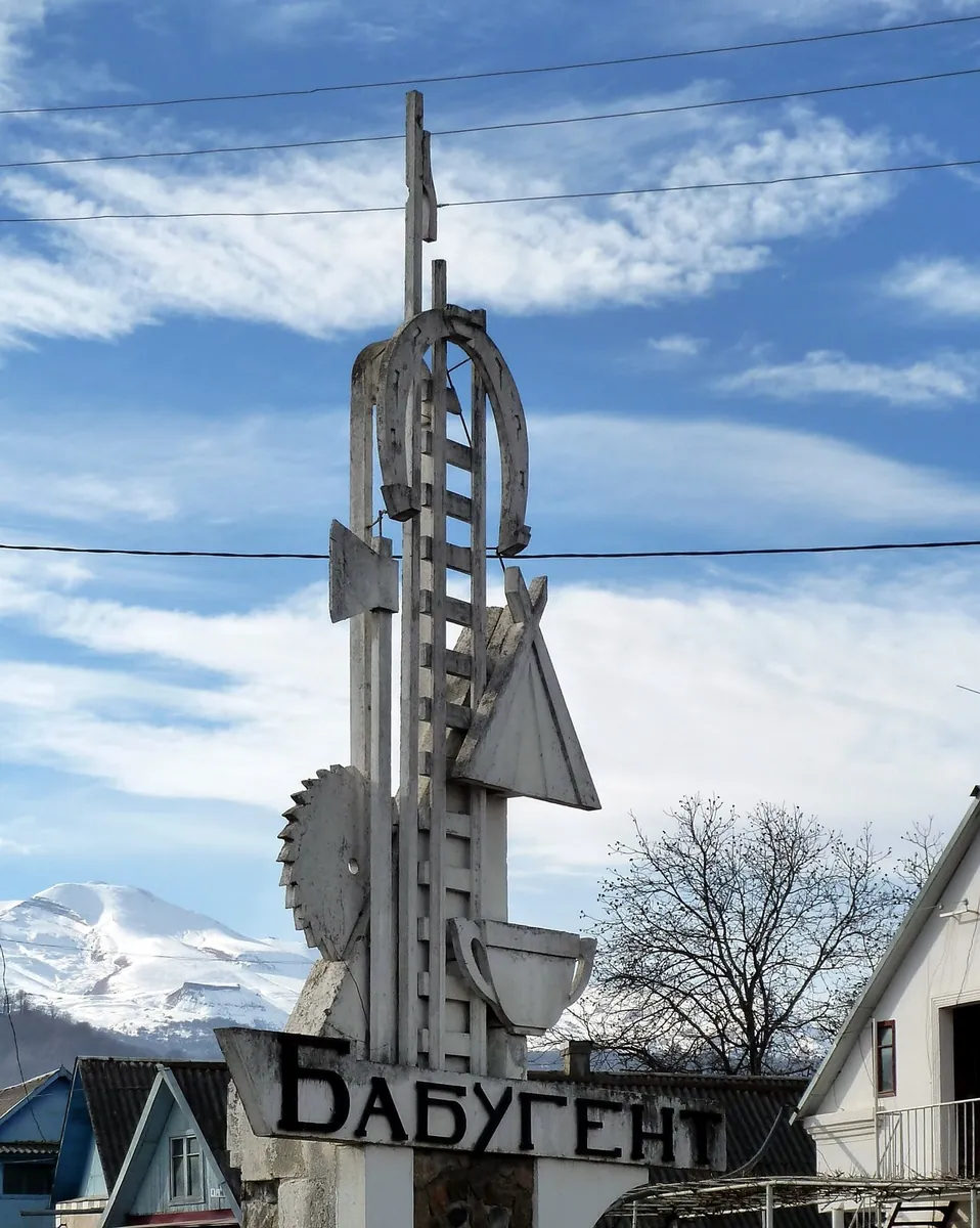
Babugent
✓ TrailTrack

Babugent

Hiking · Multi-day

Plan this 31.09 km point-to-point walking route from its verified distance, gradients and recorded surface rather than unconfirmed landmarks. Noticeable climbing: 650 m of total ascent over 31.09 km. Allow at least 2 days and verify overnight and exit options independently.

31.1 km 71 +547 m Hard
Health trail — Progress
✓ TrailTrack

Health trail — Progress

Health trail · Hiking · One-day

Plan this 3.9 km point-to-point walking route from its verified distance, gradients and recorded surface rather than unconfirmed landmarks. Estimated moving time is about 1.2 hours; add time for pauses and navigation.

3.9 km 71 +0 m Easy
Promenad po naberezhnoy
✓ TrailTrack

Promenad po naberezhnoy

Bicycle · One-day

Plan this 6.73 km point-to-point cycling route from its verified distance, gradients and recorded surface rather than unconfirmed landmarks. Estimated moving time is about 0.7 hours; add time for pauses and navigation.

6.7 km 71 +0 m Easy
Up the Kök-Art Valley to the Fergana Foothills
✓ TrailTrack

Up the Kök-Art Valley to the Fergana Foothills

Hiking · One-day

Follow the Kök-Art from the Kazarman side towards the upper Fergana approaches. Get to know the river corridor before tackling a higher crossing, and give the valley walk its own place in the journey.

26.4 km 71 +613 m Hard
Kargaly-Aksai-Kaskelen
✓ TrailTrack

Kargaly-Aksai-Kaskelen

Hiking · Multi-day

This is a point-to-point hiking route of about 45.4 km. The clearest starting reference is Буйражар. Use Буйражар as the starting reference and Кызылкунгей as the finishing reference; plan the return in advance. Features worth noticing include Dorozhnyy (mountain pass, 2780 m, directly beside the route); Low Qargaly (mountain pass, 3735 m, directly beside the route); Somnitel'nykh romashek (mountain pass, 3708 m, directly beside the route); Вагончик КазСелезащиты (wilderness hut, directly beside the route); Perevalny (peak, 3738 m, directly beside the route). The route itself has no recorded elevations, but nearby named features rise to about 3805 m. This matters for weather and acclimatisation. Original material: OpenStreetMap — https://www.openstreetmap.org/relation/17975553.

45.5 km 71 +3026 m Hard
Bobruisk: Soligorsk: Long-Distance Route
✓ TrailTrack

Bobruisk: Soligorsk: Long-Distance Route

Bicycle · Multi-day

This 340.64 km point-to-point cycling route is shaped by its terrain, surface and pace rather than a single landmark. Gentle terrain: 53 m of total ascent over 340.64 km. Allow at least 5 days and verify overnight and exit options independently.

340.6 km 71 +53 m Hard
Borisov Loop: Town Section
✓ TrailTrack

Borisov Loop: Town Section

Bicycle · One-day

This 13.4 km point-to-point cycling route is shaped by its terrain, surface and pace rather than a single landmark. Gentle terrain: 32 m of total ascent over 13.4 km. Surface: asphalt. Estimated moving time is about 1.3 hours; add time for pauses and navigation.

13.4 km 71 +32 m Moderate
Winter Roads of the Uzda Region
✓ TrailTrack

Winter Roads of the Uzda Region

М · Bicycle · Multi-day

The recorded line is a 199.78 km circular cycling route, with woodland is one of the route's main features. Gentle terrain: 127 m of total ascent over 199.78 km. Surface: asphalt plus concrete. Allow at least 3 days and verify overnight and exit options independently.

199.8 km 71 +127 m Hard
Back Page 67 of 79 Next