TrailTrack routes

Маршруты с подготовленным описанием, сложностью, покрытием и планированием визита.

Найдено 51 routes
Choose a route from the list or view routes on the map.
Trail River at Khuruma: A Climb to High-Mountain Views
TrailTrack

Trail River at Khuruma: A Climb to High-Mountain Views

Hiking · One-day

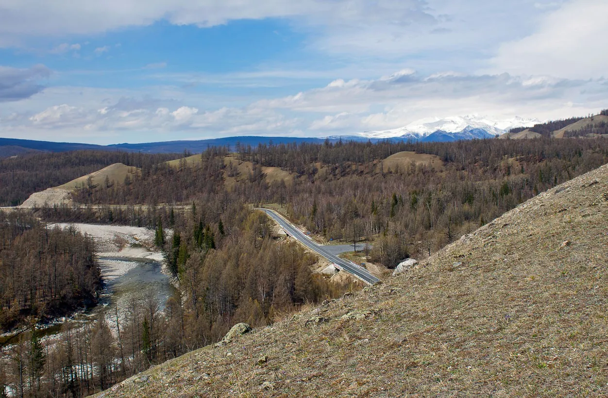
The path follows the river valley, sometimes close to the water and sometimes on higher banks. Even the connecting sections remain engaging because of floodplain paths, green riverbanks and quiet country lanes. Named places along the way include Tunka Valley, Khuruma and Eastern Sayan. Together they give the walk a clear sequence and make the area easier to remember.

2.9 km 29 +26 m Easy
Trail via Arshanskiy Pass: A Trail Above the Valleys
TrailTrack

Trail via Arshanskiy Pass: A Trail Above the Valleys

Hiking · One-day

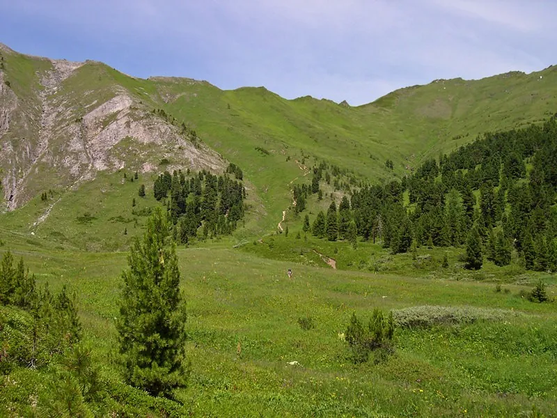
The lower section offers a gradual start before woodland gives way to more open terrain. Even the connecting sections remain engaging because of wooded lower slopes, mountain meadows and rocky ground. The main landmarks are Tunka Valley, Arshanskii and Eastern Sayan. Each deserves a short pause for both the details and the wider setting.

2.4 km 25 +518 m Moderate
Budushchey Road from Samarty to Sagan-Sayra: A Trail to Open Summits
TrailTrack

Budushchey Road from Samarty to Sagan-Sayra: A Trail to Open Summits

Hiking · One-day

The lower section offers a gradual start before woodland gives way to more open terrain. Along the way, wooded lower slopes, mountain meadows and rocky ground are revealed one section at a time. The route passes Samarty, Sagan-Saira and Budushchei. Together they turn the walk into a coherent introduction to the area rather than a simple transfer.

15.0 km 21 +701 m Hard
From Pass Solnechnogo to Tsentra Arshana through Doline Bugataya: Along the Main Ridge
TrailTrack

From Pass Solnechnogo to Tsentra Arshana through Doline Bugataya: Along the Main Ridge

Hiking · One-day

The lower section offers a gradual start before woodland gives way to more open terrain. The character of the area is especially clear in wooded lower slopes, mountain meadows and rocky ground. Particular attention should be given to Pass Solnechnogo, Pass Solnechnogo do tsentra Arshana po doline Bugataia and Tsentra Arshana po doline Bugataia. These are the places that give the route its recognisable character.

16.1 km 20 +879 m Hard
Trail Lake to Moglayn-Gol: Up to the Skyline
TrailTrack

Trail Lake to Moglayn-Gol: Up to the Skyline

Hiking · One-day

The approach to the water unfolds gradually, moving from sheltered paths to open shoreline. Along the way, woodland paths, open shores and quiet waterside sections are revealed one section at a time. The most distinctive places are Tunka Valley, Moglain-Gol and Eastern Sayan. It is worth allowing time for a brief stop at each one.

7.9 km 19 +102 m Easy
Arkhut — Kharimta: Across Ridges and Mountain Meadows
TrailTrack

Arkhut — Kharimta: Across Ridges and Mountain Meadows

Arkhut · Hiking · One-day

The lower section offers a gradual start before woodland gives way to more open terrain. Along the way, wooded lower slopes, mountain meadows and rocky ground are revealed one section at a time. The main landmarks are Tunka Valley, Kharimta, Arkhut and Eastern Sayan. Each deserves a short pause for both the details and the wider setting.

12.8 km 18 +808 m Hard
V Bukhtu Zmeyovaya: Between Sea and Land
TrailTrack

V Bukhtu Zmeyovaya: Between Sea and Land

Hiking · One-day

The shoreline continually changes perspective, moving between sheltered sections and exposed headlands. Even the connecting sections remain engaging because of coastal paths, exposed headlands and sheltered bays. Particular attention should be given to In bukhtu Zmeiovaia. These are the places that give the route its recognisable character.

19.1 km 18 +167 m Moderate
Sayan, from Samarty to Nilovki, Fevral 2017: A Walk Where the Journey Matters
TrailTrack

Sayan, from Samarty to Nilovki, Fevral 2017: A Walk Where the Journey Matters

Ob3 · Skiing · Multi-day

Maintained sections make it easier to notice the natural features of the area in detail. An unhurried pace leaves time to notice maintained paths, natural observation areas and interpretive stops rather than focusing only on the finish. The main landmarks are Nilovki, fevral'. Each deserves a short pause for both the details and the wider setting.

160.4 km 18 +0 m Hard
Great Sayan, Fevral-mart 2016: A Trail to Open Summits
TrailTrack

Great Sayan, Fevral-mart 2016: A Trail to Open Summits

CAMP0 · Skiing · Multi-day

The lower section offers a gradual start before woodland gives way to more open terrain. The character of the area is especially clear in wooded lower slopes, mountain meadows and rocky ground. Particular attention should be given to Prirodnykh raionakh Rossii. These are the places that give the route its recognisable character.

120.9 km 18 +4448 m Hard
Ekspeditsii #BaykalSOS - 2016: Through the Area’s Defining Landscapes
TrailTrack

Ekspeditsii #BaykalSOS - 2016: Through the Area’s Defining Landscapes

Ekspeditsii #BaykalSOS · Hiking · Multi-day

Maintained sections make it easier to notice the natural features of the area in detail. The setting is shaped by a combination of maintained paths, natural observation areas and interpretive stops. The main line of the experience is formed by Lake Baikal and Ekspeditsii #BaikalSOS. They are spaced through the journey so that the area reveals itself gradually.

1262.6 km 17 +0 m Hard
Road from Meadow Lesorubov at Zapad: Up to the Skyline
TrailTrack

Road from Meadow Lesorubov at Zapad: Up to the Skyline

Hiking · One-day

The lower section offers a gradual start before woodland gives way to more open terrain. Along the way, wooded lower slopes, mountain meadows and rocky ground are revealed one section at a time. Named places along the way include Tunka Valley and Eastern Sayan. Together they give the walk a clear sequence and make the area easier to remember.

5.4 km 17 +228 m Easy
Pokhoda Vykhodnogo Dnya Kyngarga — Belokopytka: A Trail to Open Summits
TrailTrack

Pokhoda Vykhodnogo Dnya Kyngarga — Belokopytka: A Trail to Open Summits

Pokhoda Vykhodnogo Dnya Kyngarga · Hiking · Multi-day

The lower section offers a gradual start before woodland gives way to more open terrain. The character of the area is especially clear in wooded lower slopes, mountain meadows and rocky ground. The most distinctive places are Fedyushka, Belokopytka and Pokhoda vykhodnogo dnia Kyngarga. It is worth allowing time for a brief stop at each one.

22.8 km 17 +2020 m Hard
Splava through Zhomboloku: A Walk Where the Journey Matters
TrailTrack

Splava through Zhomboloku: A Walk Where the Journey Matters

Boat · Multi-day

Maintained sections make it easier to notice the natural features of the area in detail. An unhurried pace leaves time to notice maintained paths, natural observation areas and interpretive stops rather than focusing only on the finish. The main line of the experience is formed by Splava po Zhomboloku. They are spaced through the journey so that the area reveals itself gradually.

39.3 km 17 +4 m Hard
Treki Obkhoda Dvukh Kanonov V Sredney Chasti Ara-Osheya: Across Ridges and Mountain Meadows
TrailTrack

Treki Obkhoda Dvukh Kanonov V Sredney Chasti Ara-Osheya: Across Ridges and Mountain Meadows

Hiking · One-day

The path follows the river valley, sometimes close to the water and sometimes on higher banks. The character of the area is especially clear in floodplain paths, green riverbanks and quiet country lanes. The most distinctive places are Tunka Valley, Treki, Ara-Osheia and Eastern Sayan. It is worth allowing time for a brief stop at each one.

1.4 km 16 +53 m Easy
Lake to Artemeva from Ul.Gabanova: A Climb to High-Mountain Views
TrailTrack

Lake to Artemeva from Ul.Gabanova: A Climb to High-Mountain Views

Hiking · One-day

The approach to the water unfolds gradually, moving from sheltered paths to open shoreline. Even the connecting sections remain engaging because of woodland paths, open shores and quiet waterside sections. The route passes Lakes Artem'eva ot ul.Gabanova, Abano Pass and Omalo. Together they turn the walk into a coherent introduction to the area rather than a simple transfer.

5.2 km 16 +230 m Easy
Pokhoda Khoyto-Gol — Ara-Oshey (May 2011 G.): A Trail to Open Summits
TrailTrack

Pokhoda Khoyto-Gol — Ara-Oshey (May 2011 G.): A Trail to Open Summits

Pokhoda Khoyto-Gol · Hiking · Multi-day

The lower section offers a gradual start before woodland gives way to more open terrain. The character of the area is especially clear in wooded lower slopes, mountain meadows and rocky ground. The main line of the experience is formed by Bogo-Bulnay, Pokhoda Khoito-Gol and Ara-Oshei. They are spaced through the journey so that the area reveals itself gradually.

87.7 km 16 +2977 m Hard
Sukhoy Stream — Shumak: Among Slopes and Clouds
TrailTrack

Sukhoy Stream — Shumak: Among Slopes and Clouds

Sukhoy Stream · Hiking · Multi-day

The lower section offers a gradual start before woodland gives way to more open terrain. The character of the area is especially clear in wooded lower slopes, mountain meadows and rocky ground. The most distinctive places are Shumak and Sukhoi ruchei. It is worth allowing time for a brief stop at each one.

42.5 km 16 +2726 m Hard
Voskhozhdeniya at Saint Nos: Up to the Skyline
TrailTrack

Voskhozhdeniya at Saint Nos: Up to the Skyline

Hiking · One-day

The lower section offers a gradual start before woodland gives way to more open terrain. The combination of wooded lower slopes, mountain meadows and rocky ground gives the journey its variety. The most distinctive places are Sviatoi Nos and Voskhozhdeniia na Sviatoi Nos. It is worth allowing time for a brief stop at each one.

5.9 km 16 +44 m Easy
Radialki at Peak Khoyto-Ula: A Climb to High-Mountain Views
TrailTrack

Radialki at Peak Khoyto-Ula: A Climb to High-Mountain Views

Hiking · Multi-day

The lower section offers a gradual start before woodland gives way to more open terrain. The setting is shaped by a combination of wooded lower slopes, mountain meadows and rocky ground. The most distinctive places are Peak Khoito-Ula and Radialki. It is worth allowing time for a brief stop at each one.

51.5 km 16 +4107 m Hard
Khuray-Khobok — Oz. Serebryanoe: Up to the Skyline
TrailTrack

Khuray-Khobok — Oz. Serebryanoe: Up to the Skyline

Khuray-Khobok · Hiking · One-day

The lower section offers a gradual start before woodland gives way to more open terrain. An unhurried pace leaves time to notice wooded lower slopes, mountain meadows and rocky ground rather than focusing only on the finish. Particular attention should be given to Oz. Serebryanoe and Khurai-Khobok. These are the places that give the route its recognisable character.

11.6 km 15 +1496 m Hard
Trail through Srednemu Irkutu: A Climb to High-Mountain Views
TrailTrack

Trail through Srednemu Irkutu: A Climb to High-Mountain Views

Hiking · One-day

The lower section offers a gradual start before woodland gives way to more open terrain. The combination of wooded lower slopes, mountain meadows and rocky ground gives the journey its variety. The route passes Tunka Valley, Srednemu Irkutu and Eastern Sayan. Together they turn the walk into a coherent introduction to the area rather than a simple transfer.

7.7 km 15 +492 m Moderate
Mamay-p.Meadow-Osinovka-p.Neftyanikov-per. Baykal-Gramotukha-Vydrino: A Trail Above the Valleys
TrailTrack

Mamay-p.Meadow-Osinovka-p.Neftyanikov-per. Baykal-Gramotukha-Vydrino: A Trail Above the Valleys

Hiking · Multi-day

The lower section offers a gradual start before woodland gives way to more open terrain. The setting is shaped by a combination of wooded lower slopes, mountain meadows and rocky ground. The most distinctive places are Chersky Peak and Lake Baikal. It is worth allowing time for a brief stop at each one.

76.4 km 15 +5217 m Hard
Trail from Zhalgi to Perevalu Novogodnemu: Among the Peaks
TrailTrack

Trail from Zhalgi to Perevalu Novogodnemu: Among the Peaks

Hiking · One-day

The lower section offers a gradual start before woodland gives way to more open terrain. Along the way, wooded lower slopes, mountain meadows and rocky ground are revealed one section at a time. The most distinctive places are Tunka Valley, Zhalgi, Novogodnemu and Eastern Sayan. It is worth allowing time for a brief stop at each one.

4.0 km 15 +151 m Easy
Peak Lyubvi: Up to the Skyline
TrailTrack

Peak Lyubvi: Up to the Skyline

Hiking · One-day

The lower section offers a gradual start before woodland gives way to more open terrain. The character of the area is especially clear in wooded lower slopes, mountain meadows and rocky ground. The main line of the experience is formed by Peak Liubvi, Tunka Valley and Eastern Sayan. They are spaced through the journey so that the area reveals itself gradually.

4.0 km 15 +1083 m Easy
Page 1 of 3 Next
Home Map Routes Regions Profile