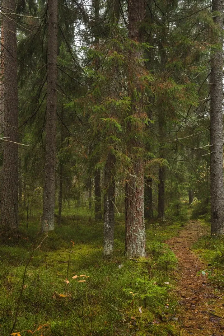



Маршрут «Пороги реки Гладышевки»
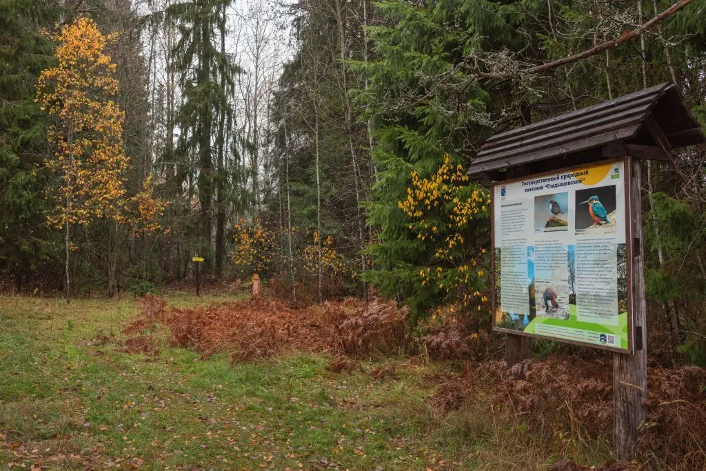
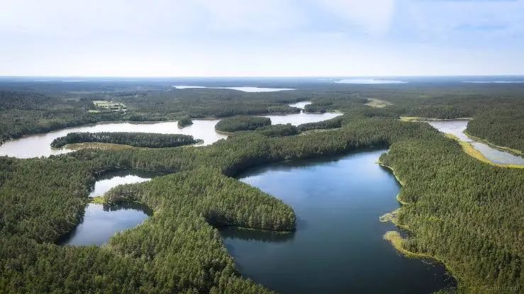
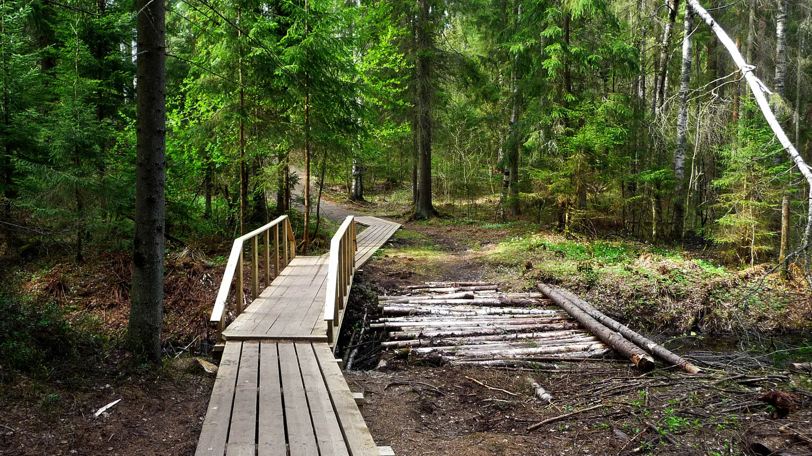
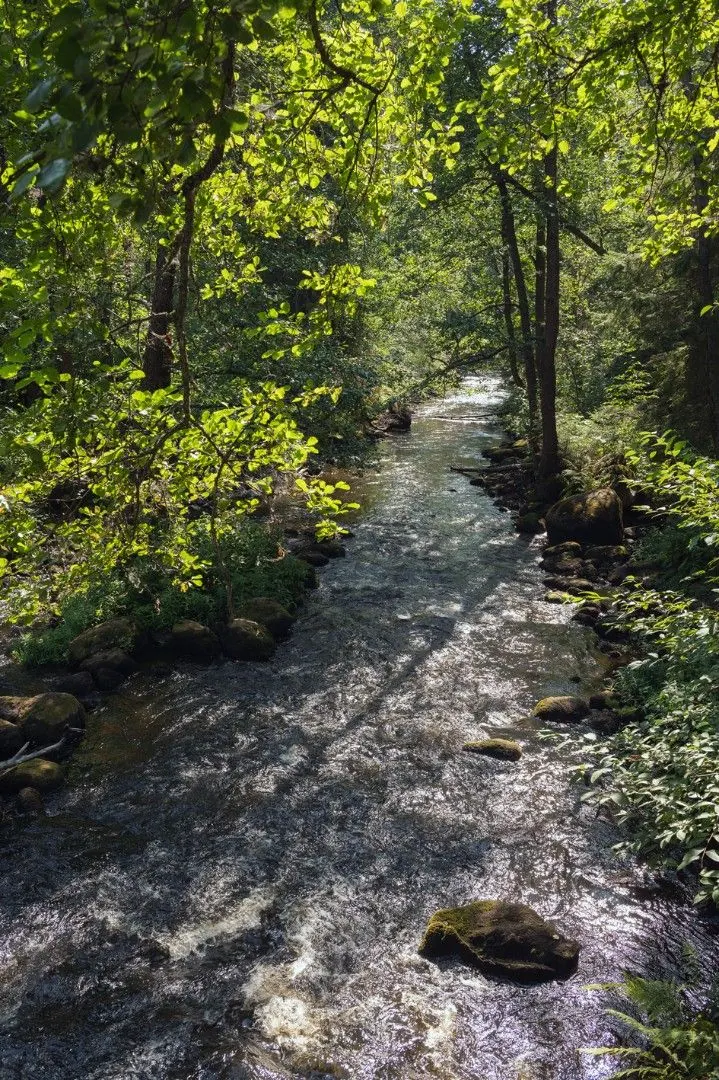
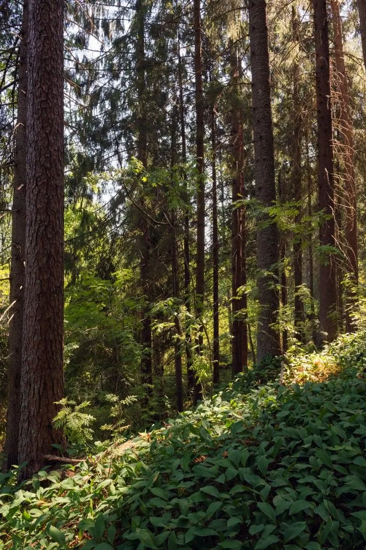
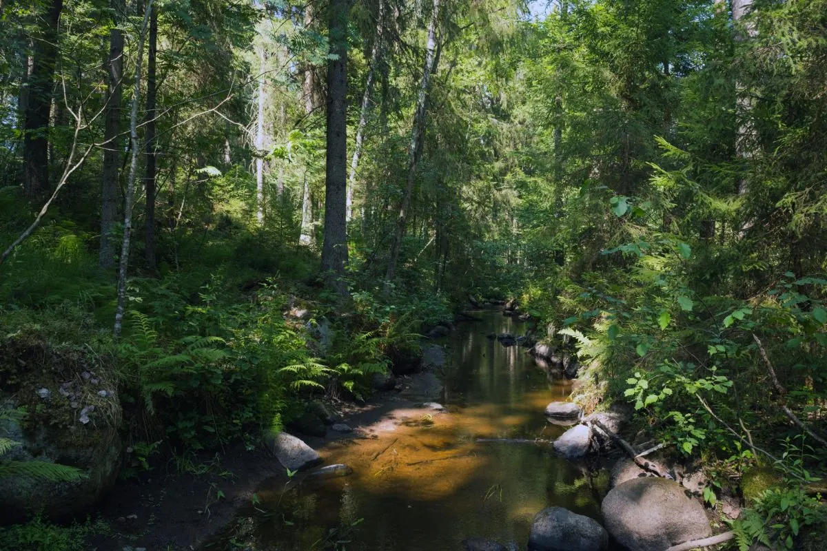
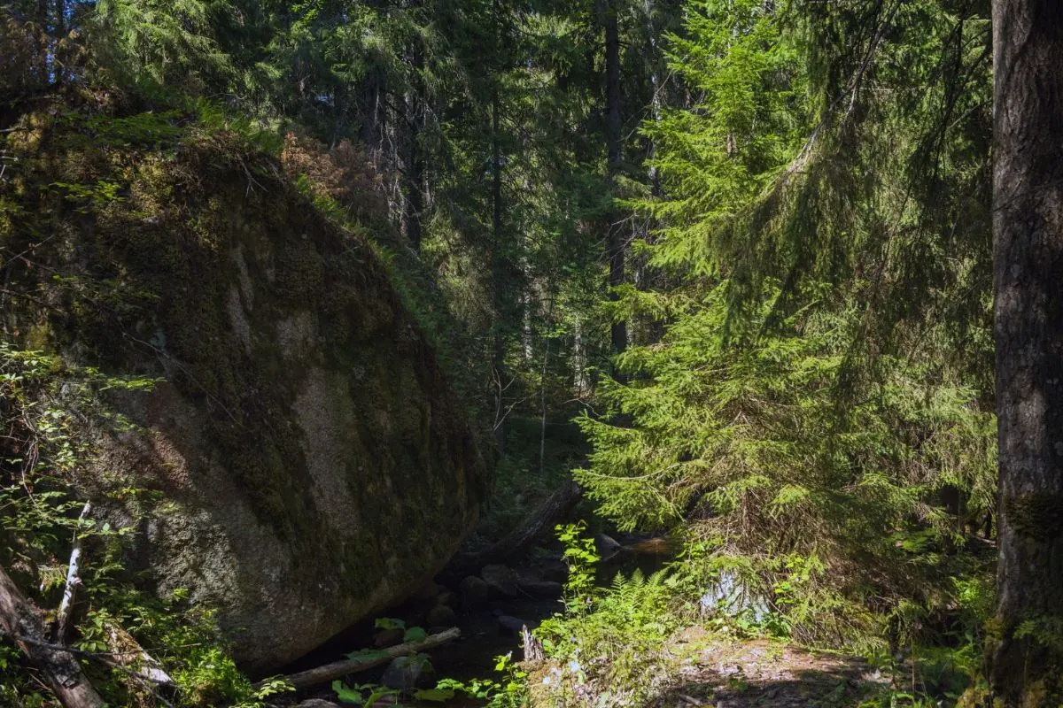
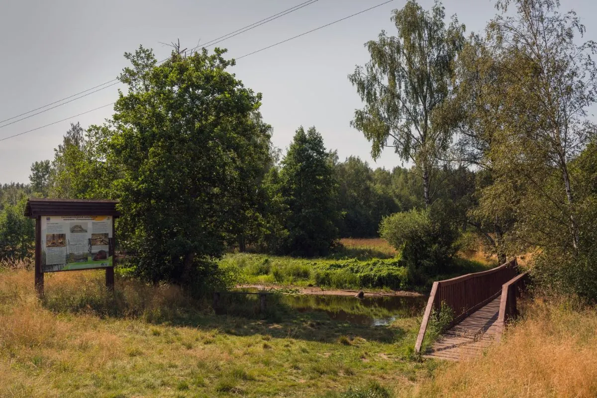
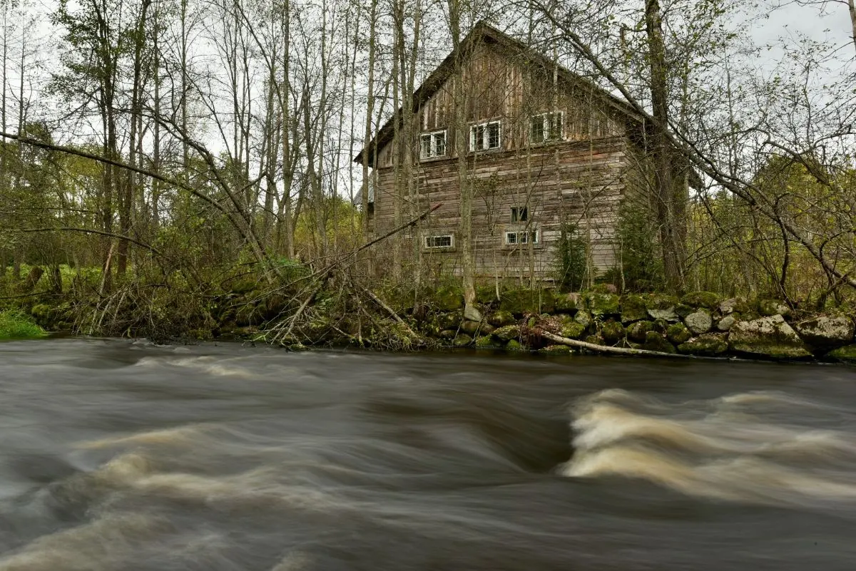
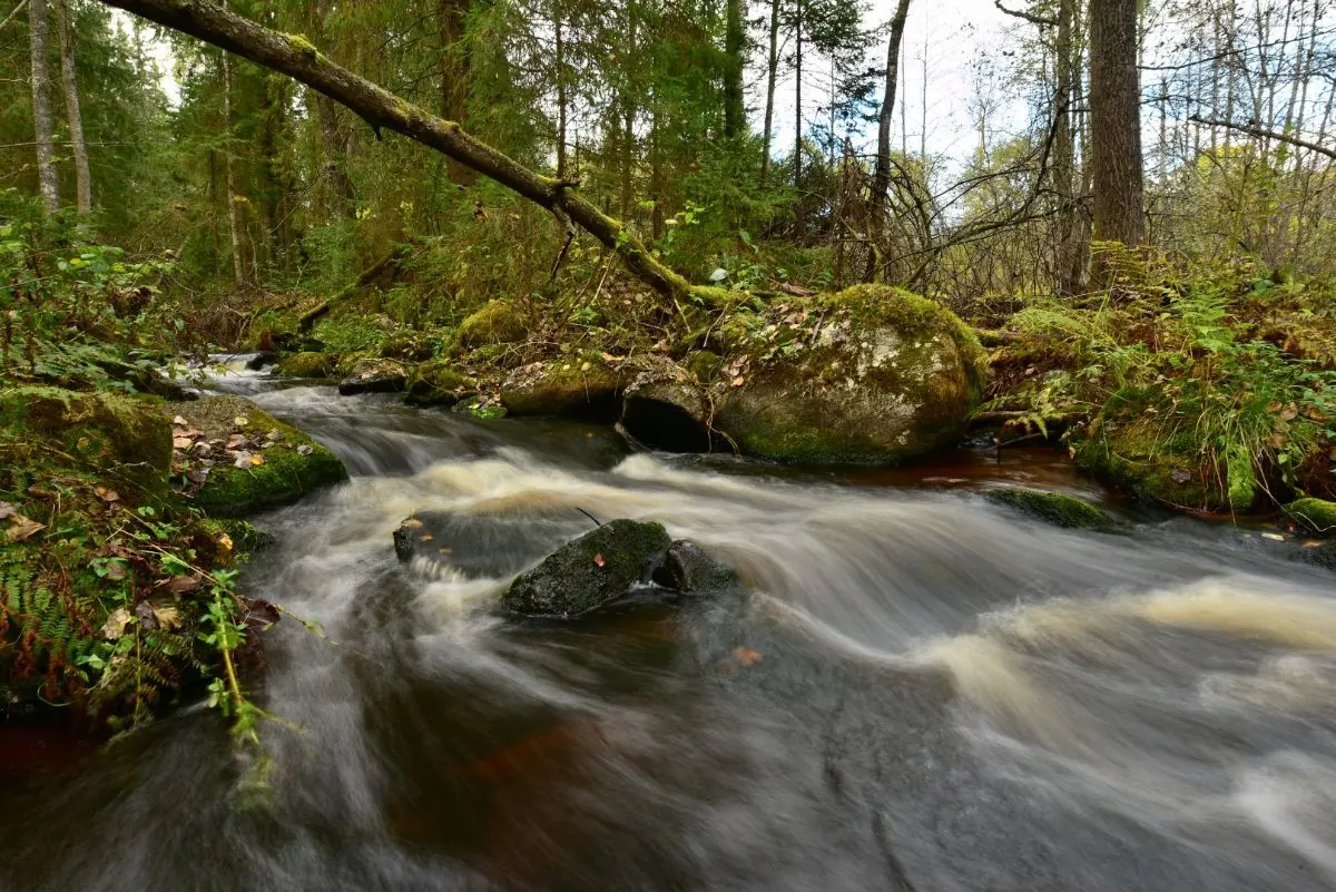
The route follows spruce and pine forest in the nature reserve and runs upstream along the Gladyshevka River, crossing it twice. An old mill and several riverbank sections lie along the way
 Open on map
 Download route

Route status
Added from a track обновление неизвестно No recent trail condition reports
Подробнее о данных маршрута
This route was added from a track. Individual sections have not been checked in the field.
Перед поездкой проверьте доступность тропы, ограничения и прогноз погоды.
Conditions may have changed. Share a report after completing the route.
Последние прохождения
Станьте первым, кто подтвердит прохождение и поможет другим путешественникам.
 Elevation profile
There is no elevation data in the track for the chart.
 Surface
Dirt 94% · Dirt / grass 1%
Surface is defined for 95% of the route.
Before you go
Подготовка к маршруту
 Route description
Route at a glance
 Getting there
Start
Finish
Route type
What to expect
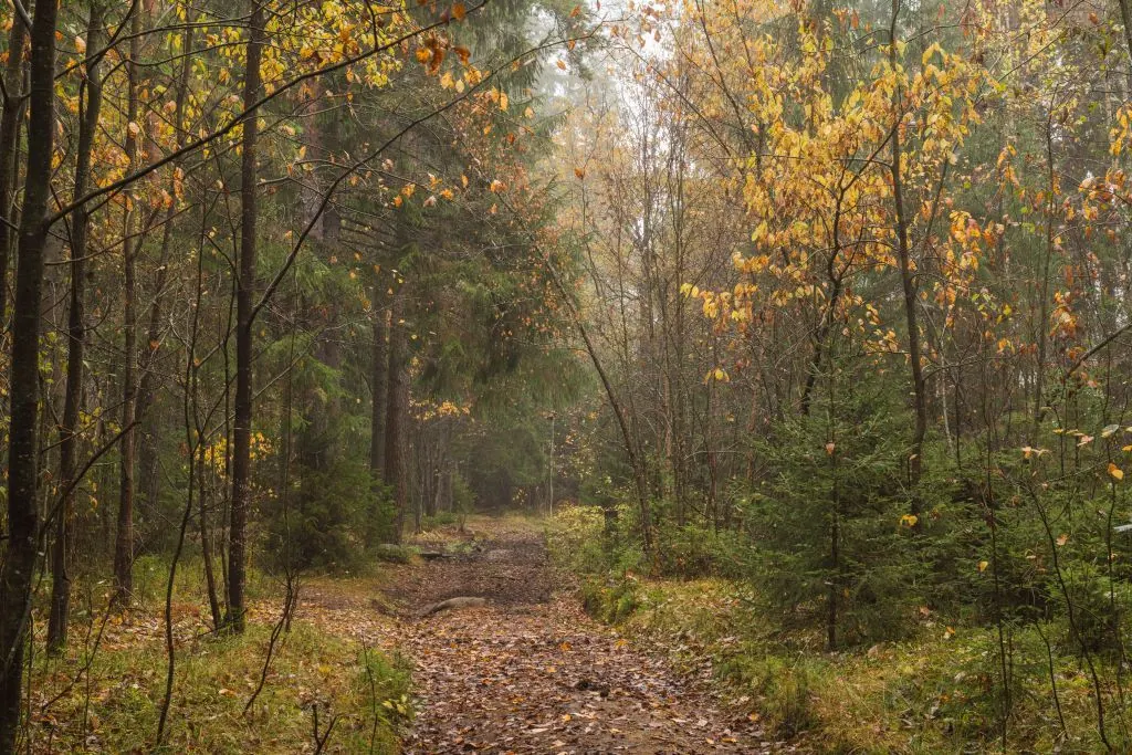
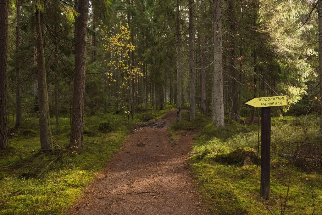
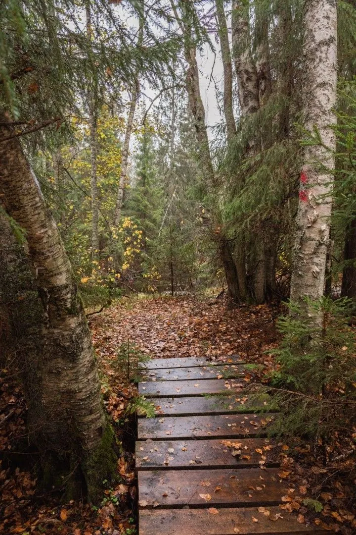
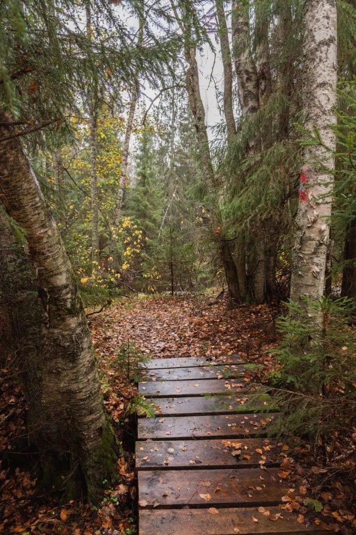
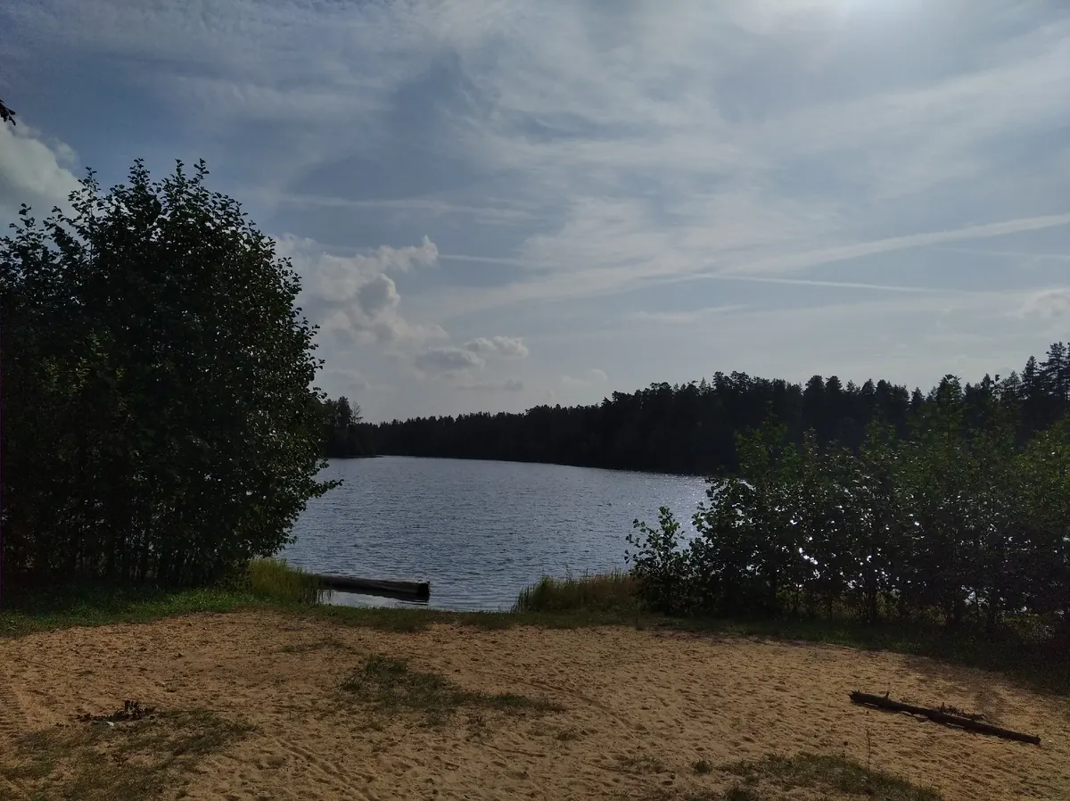
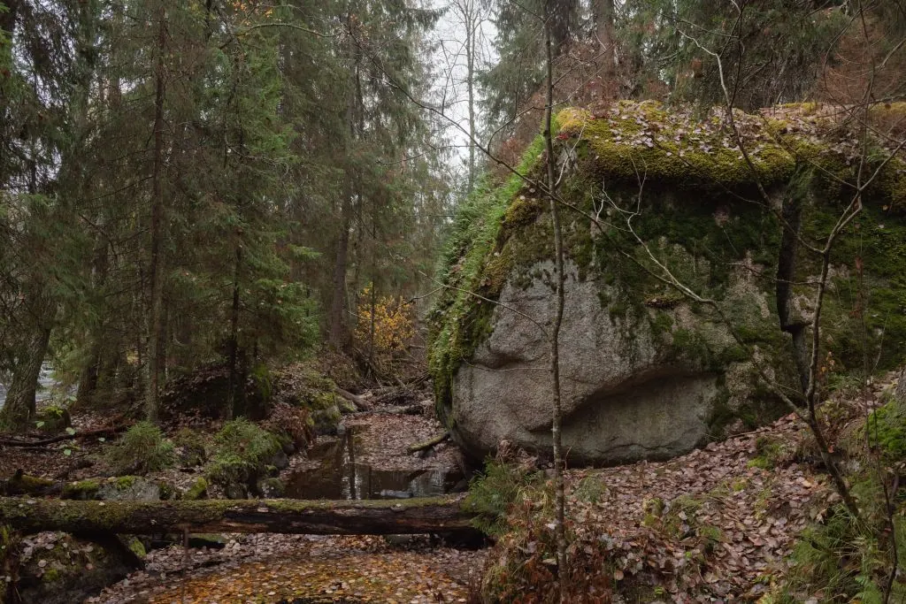
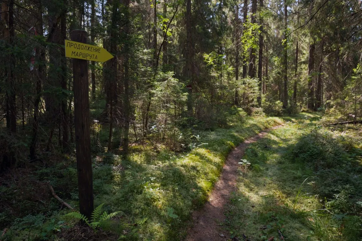
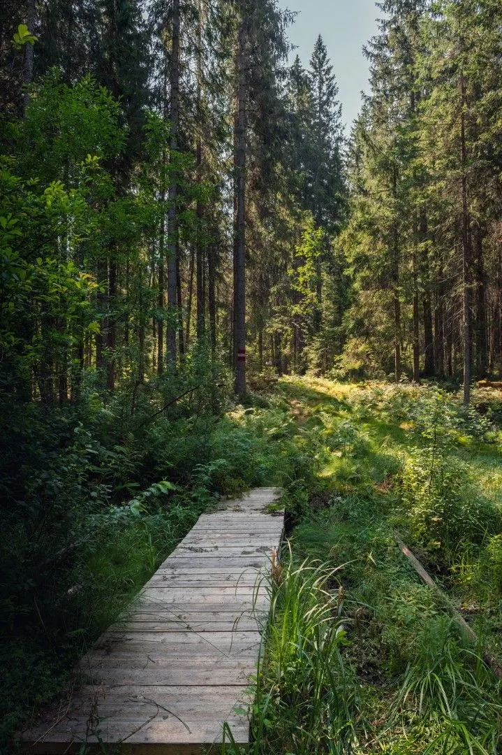
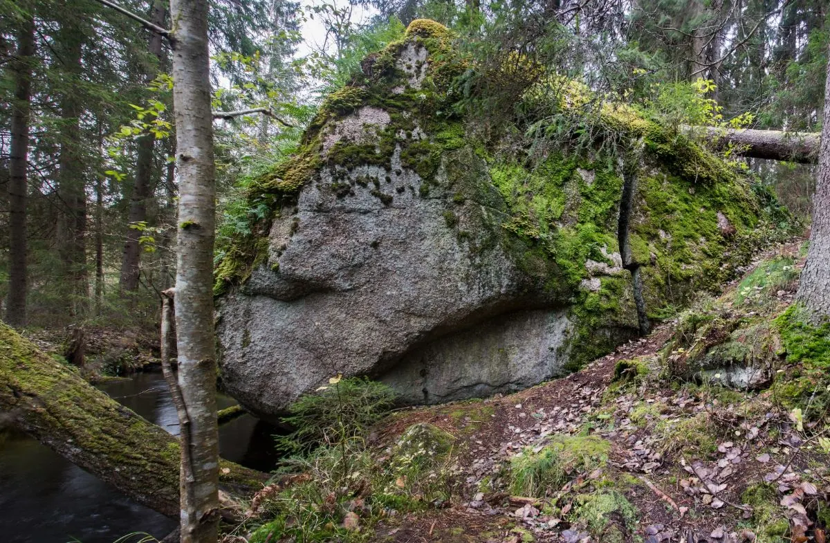
The trail is only a few hundred metres long and remains mostly level, crossing small gullies and occasional river sections. The landscape combines green woodland, open banks and gentle transitions. The atmosphere is quiet, with good photo opportunities in favourable weather.
 How much time to allow
FAQ
Questions before the trip
Can I do this route without a car?
Check public transport to the start point before your trip. The route page includes a map and coordinates for logistics.
Is this route suitable for children?
Assess the route by length, difficulty, and elevation gain. If you go with children, allow more time and choose a calm pace.
Can I download GPX and KML?
Yes, GPX and KML are available on the route page. Open the map, download the file, and use it in a navigator before your trip; key route facts: 9.2 km, moderate.
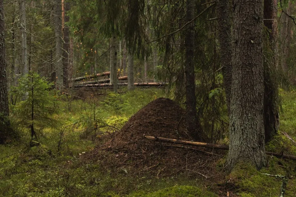
Route photos
16 photos
 9.6 km
 Moderate
Обсуждение
Комментарии 0
Войдите, чтобы читать обсуждение и оставлять комментарии.
Можно задать вопрос о маршруте, покрытии или поделиться своим опытом.