
Mannerheim Line
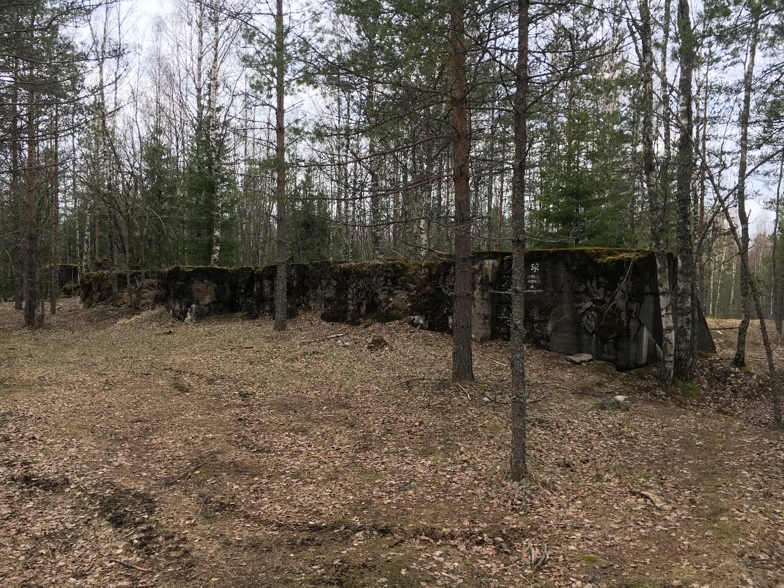
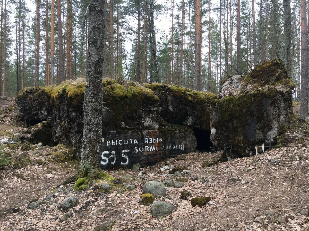
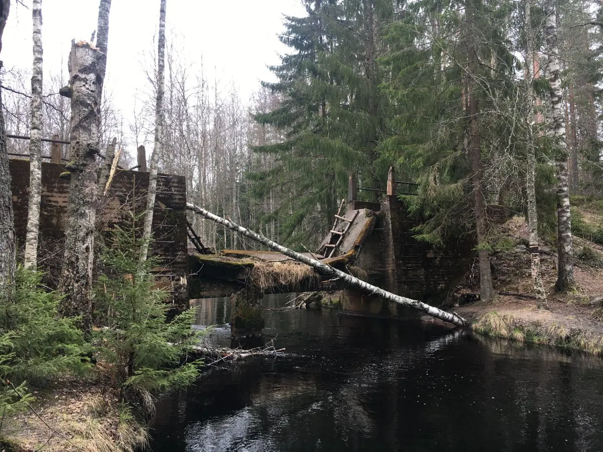
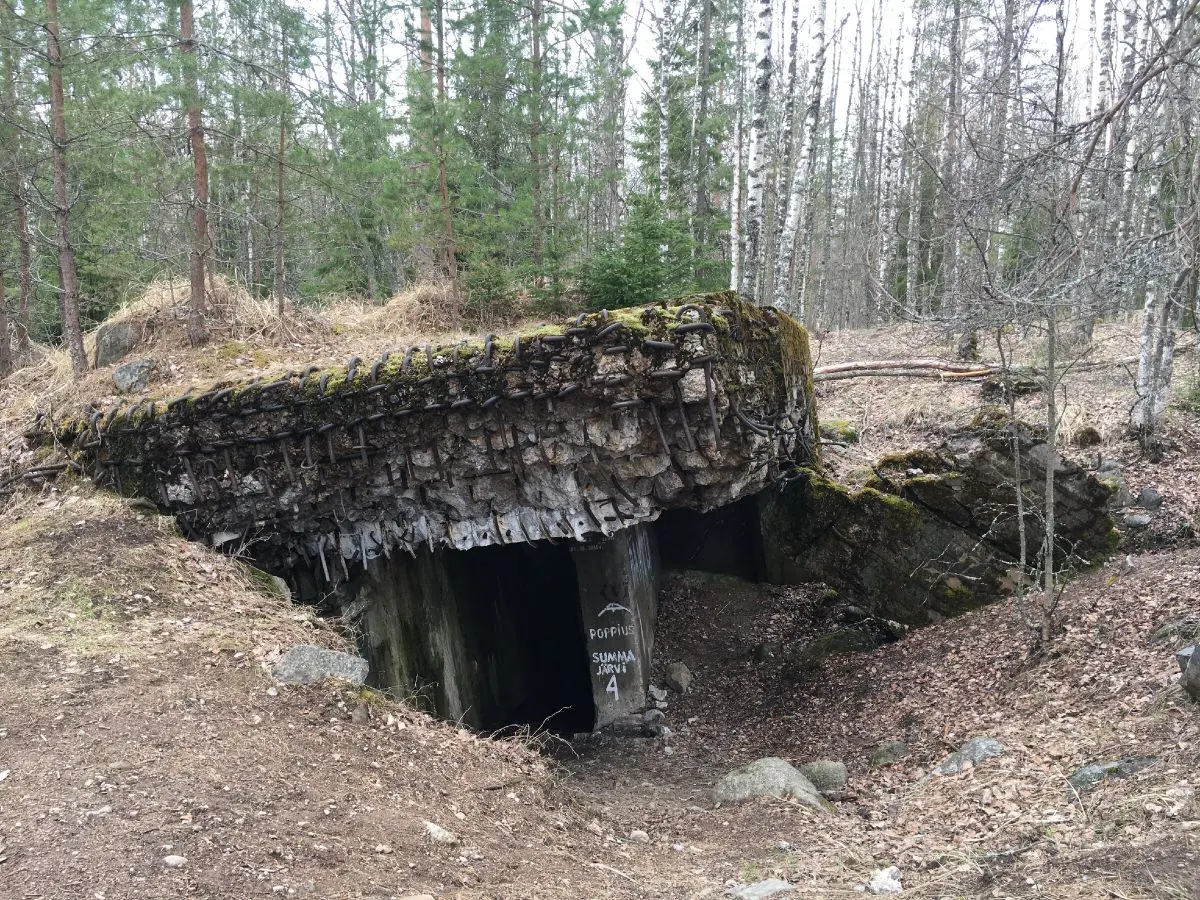
This 9.6 km circular route follows forest roads near Kamenka on the Karelian Isthmus. Its theme is the fortified landscape of the Mannerheim Line and the Winter War battlefields: anti-tank ditches, earthworks,…
 Open on map
 Download route

Route status
Added from a track обновление неизвестно No recent trail condition reports
Подробнее о данных маршрута
This route was added from a track. Individual sections have not been checked in the field.
Перед поездкой проверьте доступность тропы, ограничения и прогноз погоды.
Conditions may have changed. Share a report after completing the route.
Последние прохождения
Станьте первым, кто подтвердит прохождение и поможет другим путешественникам.
 Elevation profile
There is no elevation data in the track for the chart.
 Surface
Dirt / grass 1% · Не определено 100%
Покрытие определено для 0.01 km из 9.56 km; оставшаяся часть трека пока не классифицирована.
Before you go
Подготовка к маршруту
 Route at a glance
Route suitability
 With a stroller
No
With a stroller
No
 Getting there
 Without a car
 By car
Parking
By car
Parking
What to expect
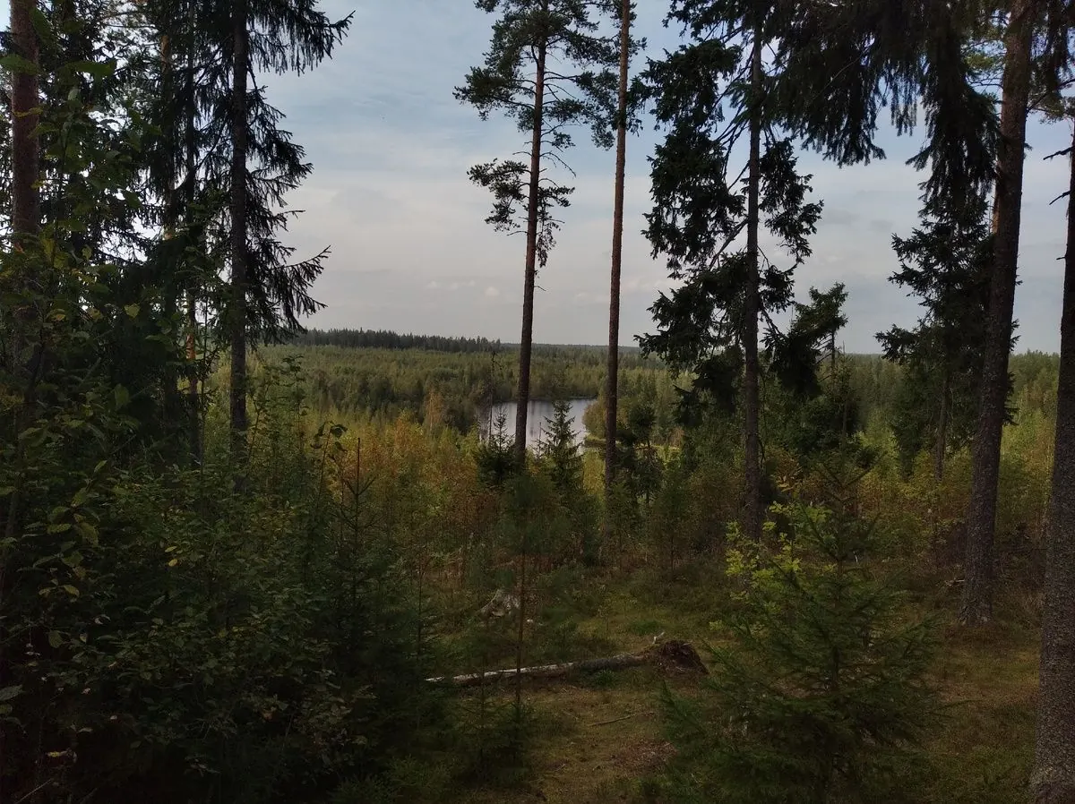
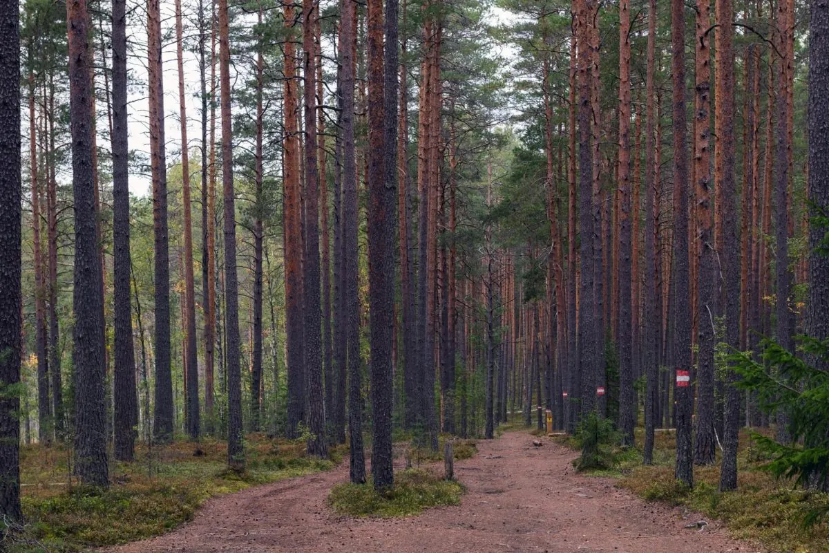
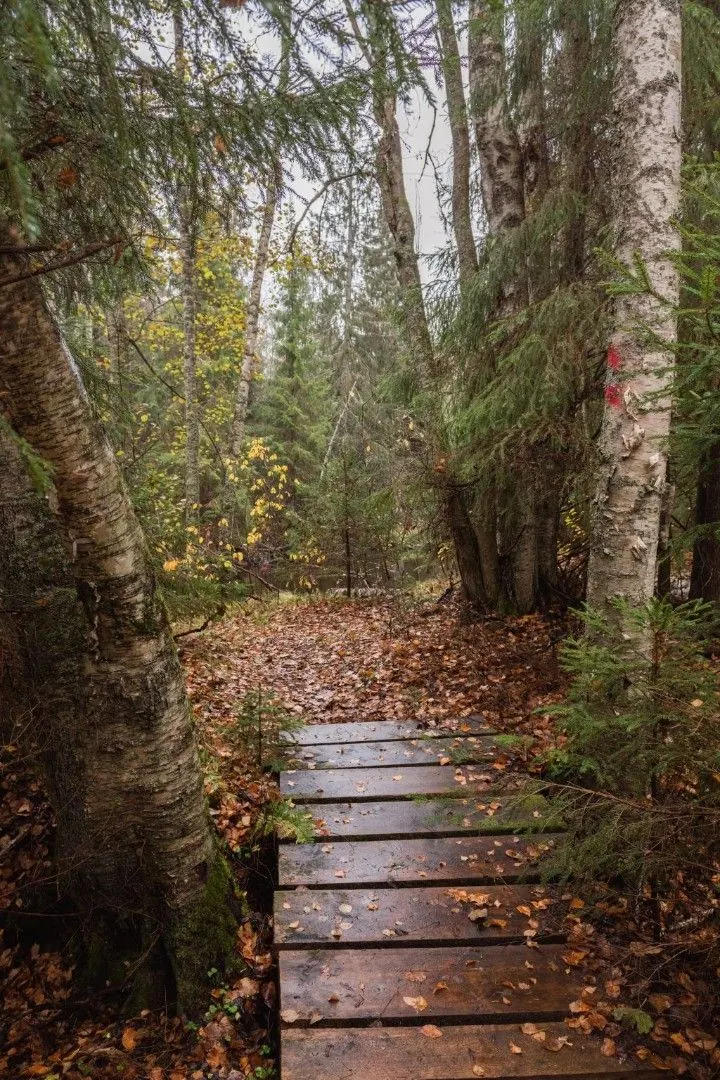
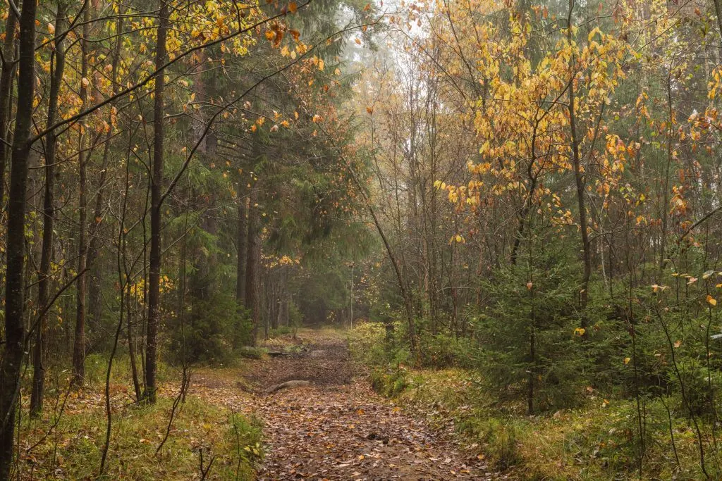
Forest roads across the Karelian Isthmus
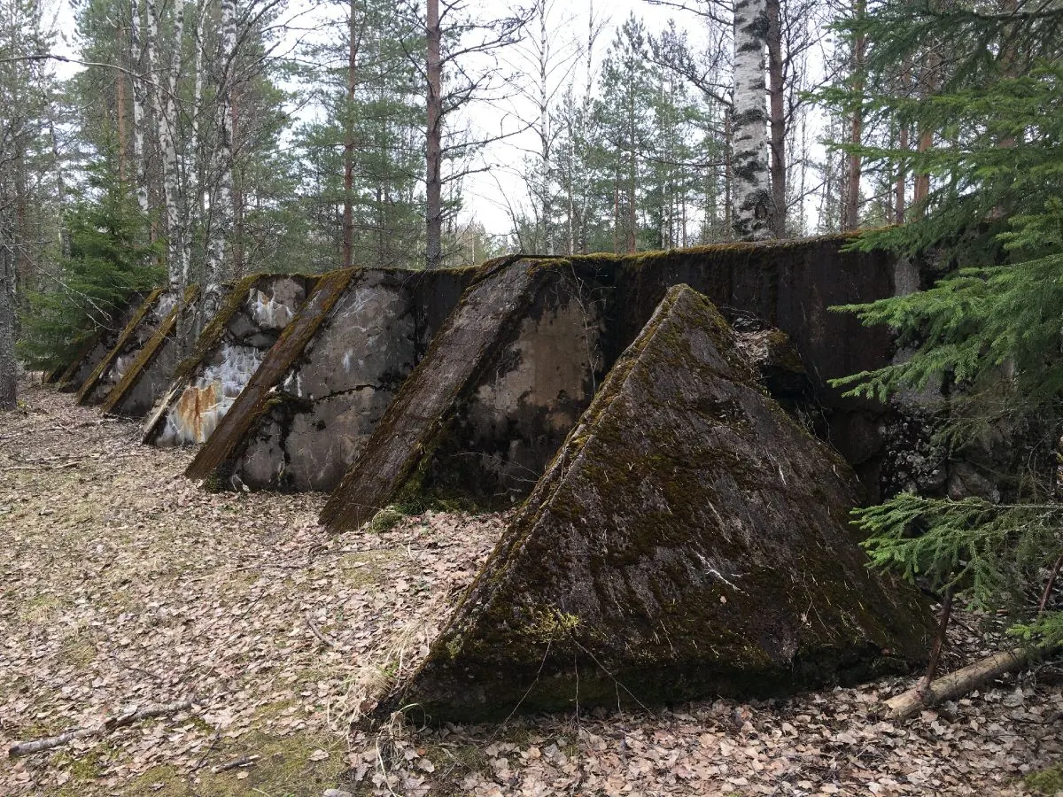
Anti-tank ditches and earth embankments
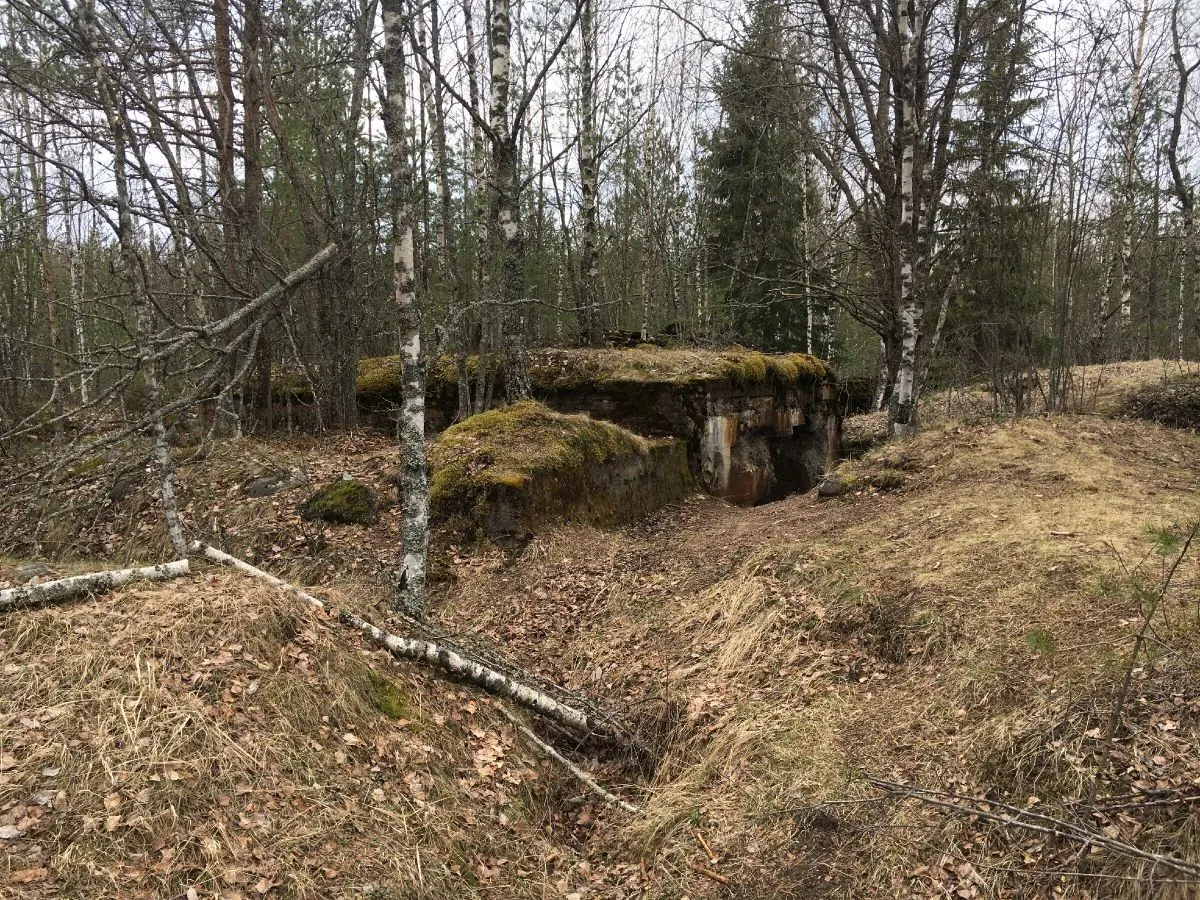
Traces of trenches, shell craters and former positions
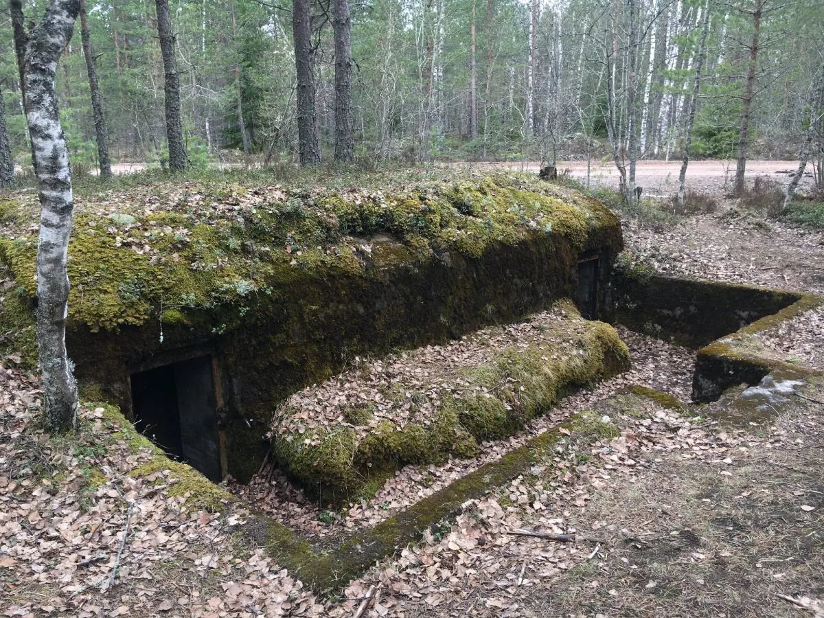
Fragments of concrete fortifications where they survive
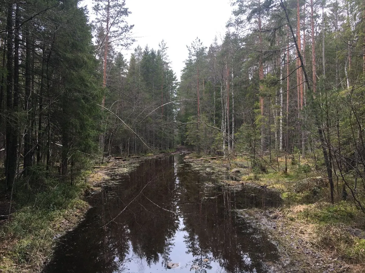
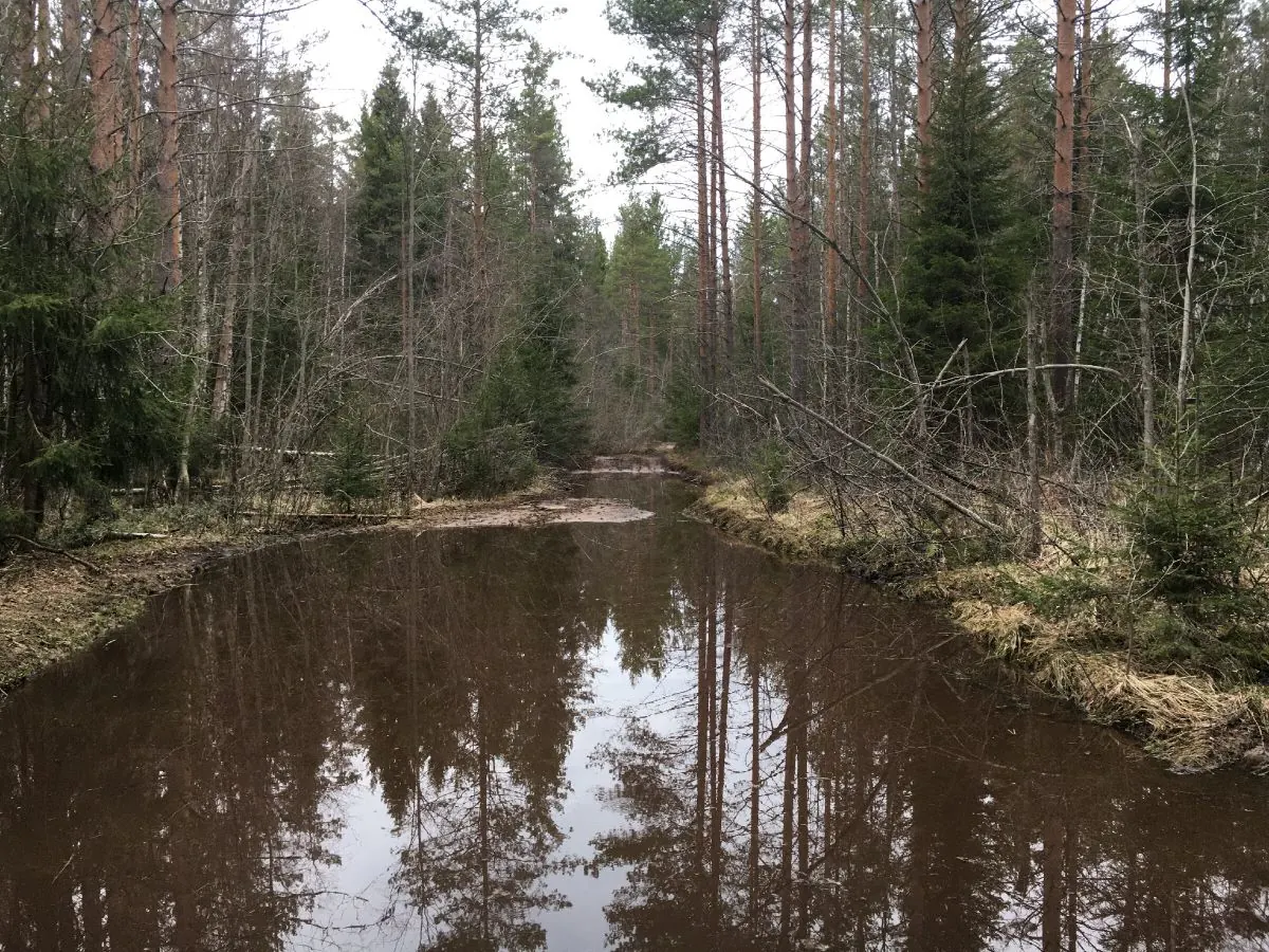
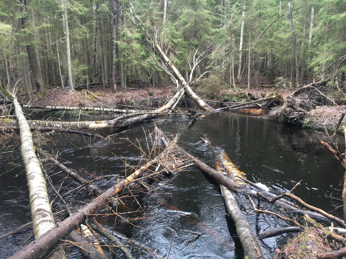
Overgrown and occasionally waterlogged ground
Little or no route marking and no visitor facilities
 Difficult sections and safety
 How much time to allow
Расчёт учитывает дистанцию и набор высоты. Добавьте запас на отдых, погоду и навигацию.
Best time to go
May to October is generally the easiest period. Forest roads may flood in spring and after heavy rain; tall vegetation, mosquitoes and ticks are common in summer; daylight becomes short in late autumn.
The fortification relief is easier to see outside the leafy season, but wet leaves, ice and concealed pits increase the risk. A winter visit is suitable only with strong navigation skills and confirmed public access.
What to bring
closed hiking footwear with good grip
long clothing and tick repellent
an offline map and downloaded GPX
a fully charged phone and power bank
water and food
a head torch
a small first-aid kit
bright clothing during the hunting season
FAQ
Questions before the trip
Can I do this route without a car?
Regional buses serve Kamenka, but the GPX start may be a considerable distance from the stop and close to areas with restricted access. The final approach will require a walk or a pre-booked taxi. Before setting out, compare the start coordinates with a current map, check the timetable and confirm that the selected access road is open to civilian visitors
Is this route suitable for children?
Assess the route by length, difficulty, and elevation gain. If you go with children, allow more time and choose a calm pace.
Can I download GPX and KML?
Yes, GPX and KML are available on the route page. Open the map, download the file, and use it in a navigator before your trip; key route facts: 9.6 km, moderate.
Route photos
9 photos
 10.9 km
Обсуждение
Комментарии 0
Войдите, чтобы читать обсуждение и оставлять комментарии.
Можно задать вопрос о маршруте, покрытии или поделиться своим опытом.