


Great Sevastopol Trail: Separate Walks to the Coast, Monasteries and Waterfalls: hiking in Crimea
TrailTrack route Hiking Crimea Multi-day
Waiting for the first trip report

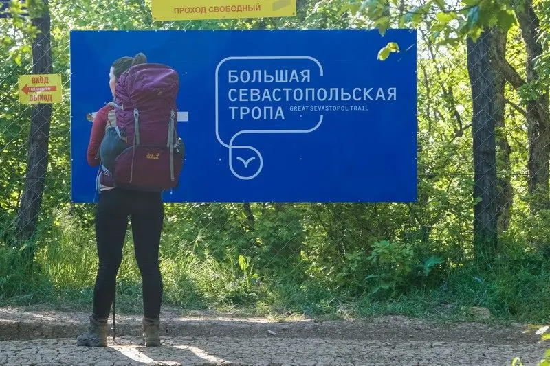
Great Sevastopol Trail: Separate Walks to the Coast, Monasteries and Waterfalls

Distance
146.4 km
Estimated moving time
2 d 5 h
Elevation gain
—
Difficulty
Hard
Open on map
Download route

Route description

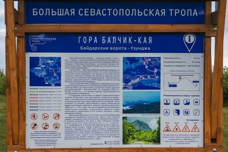
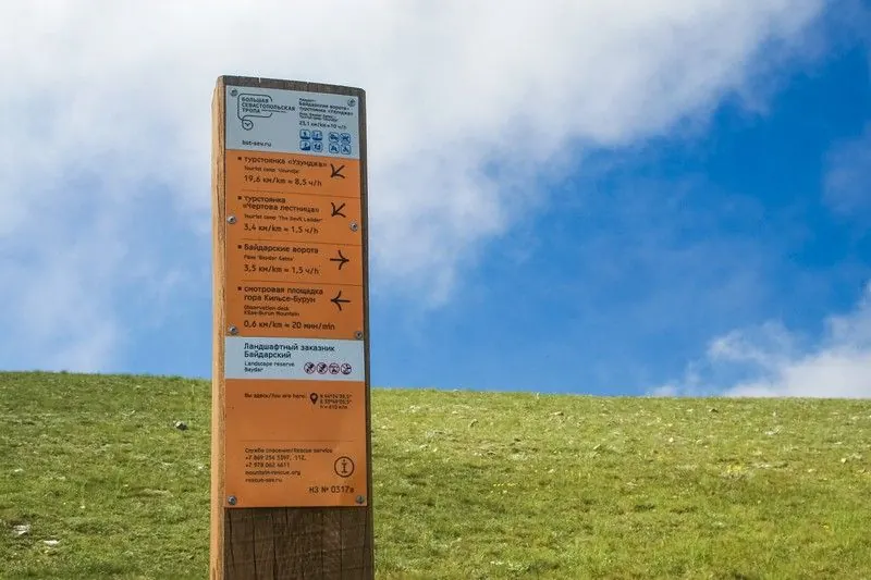
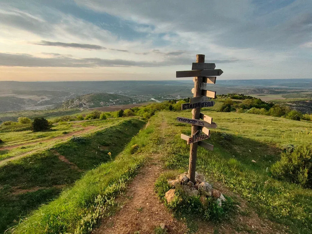
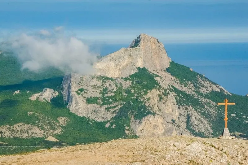
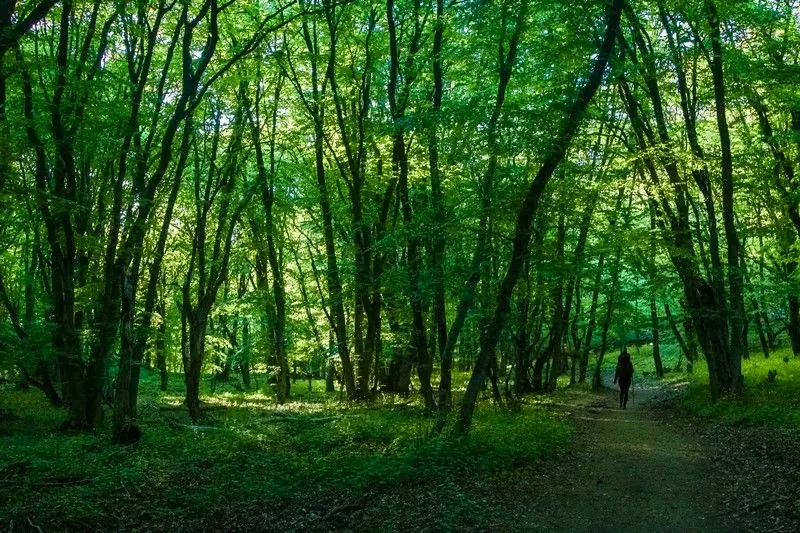
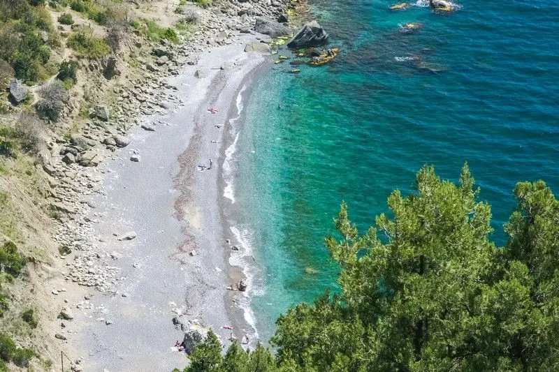
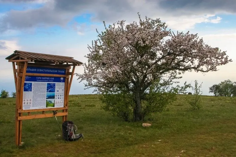
This Great Sevastopol Trail programme unfolds through different walking outings. The northern side links the Perovsky Family House Museum, Belbek River and memorial pauses. In the woodland area, Chelter-Marmara and Shuldan change the perspective towards rock monastery complexes. The Baydar side adds Mulovskoye Lake, Shan-Koba and waterfall ledges, while the Laspi side includes Tyshlar, Ilyas-Kaya and Baydar Gate. Balaklava outings introduce another layer of history: the pottery kiln, Asketi Mountain and South Fort connect the hillside with human activity. Organise the programme as separate sections. Their beginnings and finishes need independently agreed walking approaches or transfers; a continuous pedestrian connection between every part is unconfirmed. Avoid filling the gaps with unknown roads. Choose days according to weather, current access and the party’s preparation. Museum and monastery interiors, overnight stays and historic structures need separate arrangements. At the Barrel of Death, a safe exterior view is sufficient; springs and waterfalls are not guaranteed water supplies for the entire programme.

Route status

Проверяем свежесть данных по треку и учитываем сообщения сообщества

Запретов на посещение и пожаров рядом нет

Проверяем спутниковые данные о пожарах и предупреждения по региону.

Следить за маршрутом
Подробнее о состоянии маршрута No recent trail condition reports
Data source Information prepared

The description, logistics and points of interest were prepared using maps and open sources. Trail conditions may change.

Last updated 12.10.2026

Before travelling, check trail access, restrictions and the weather forecast.

Current conditions No recent trail condition reports

Conditions may have changed. Share a report after completing the route.

Community experience

Recent completions

0

Be the first to confirm a completion and help other travellers.

Elevation profile

gentle climb steep

Surface

Dirt 10% · Dirt / grass 8% · Gravel 4% · Unknown 75%

Surface data covers 37.1 km of 146.4 km; the rest of the track is not yet classified.

Dirt 10% · 14.7 km
Dirt / grass 8% · 11.6 km
Gravel 4% · 6.19 km
Asphalt 1% · 2.02 km
Improved surface 1% · 1.87 km
Compacted dirt 1% · 0.68 km
Concrete 1% · 0.08 km
Paving stones 1% · 0.01 km
Unknown 75% · 109.3 km

Before you go

Всё важное о маршруте

Route at a glance

Главное за минуту
Bring together distinct Great Sevastopol Trail walking days: northern monuments, rock monasteries, Baydar waterside places and Balaklava fortifications. The programme rewards its variety of specific places when individual sections and transfers have been arranged.
Length
146.4 km
Elevation gain
6327 m
Surface
Dirt 10%
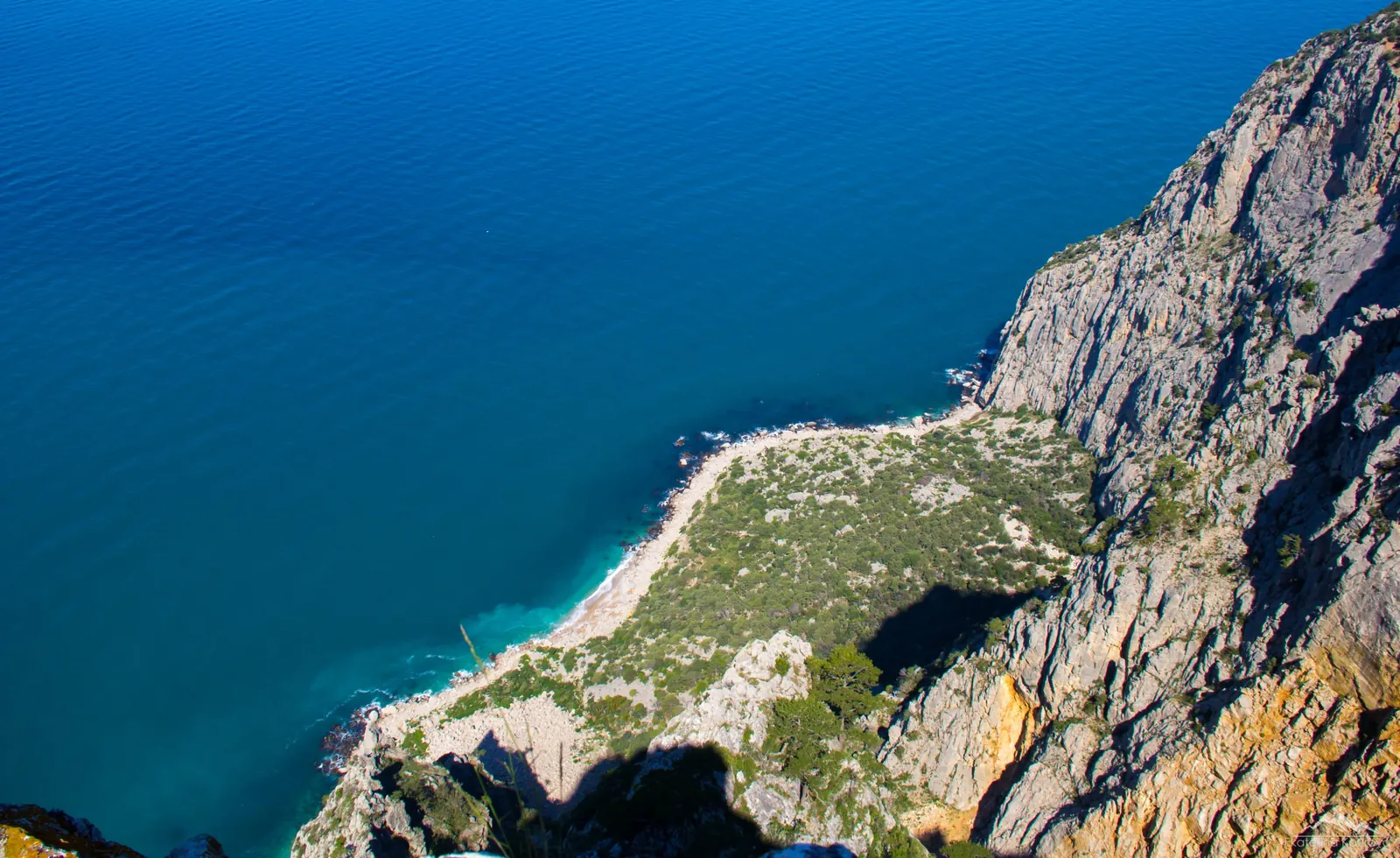
Great Sevastopol Trail: Separate Walks to the Coast, Monasteries and Waterfalls: route photo 2 in Crimea

Route suitability

Кому будет комфортно
Without a car - Hard With children - With caution With a dog - No data By bike - No With a stroller - No Mobile signal - No data For prepared walkers organising several outings and separate transfers. Choose manageable parts for children after checking conditions. Dog access, water, accommodation and reception depend on the section and are unconfirmed throughout the programme.

Nearby

Museum exhibitions, monastery interiors and underground cave excursions require separate arrangements. Balaklava’s waterfront, Cembalo and additional coastal descents are not automatically included. Via ferratas need independent preparation rather than being used as short walking connectors.

Getting there

Варианты и важные моменты Show on map
Without a car
The official municipal list separates BST into individual directions, including Laspi bus stop. Check services, lower walking approaches and return boarding separately for each day. One confirmed public-transport arrangement for all sections is unavailable.
By car
Arrange independent delivery and collection for each section without assuming through driving across woodland or monastery grounds. Confirmed permitted access to every beginning and finish is unavailable. Agree drop-offs, roads and transfers between days beforehand.
Parking
Official parking for this journey is unconfirmed. Ask a host or local services whether a vehicle may be stored at the chosen location throughout the trip. Request the conditions and permission before departure.

Электрички туда и обратно

Расписание на дату и время, до которого нужно выйти на маршрут

What to expect

Places
Perovsky Family House Museum the named museum building on the Liubymivka side.
Belbek River the northern waterside stop.
Church of the Transfiguration the named northern-side church.
Mekenziyevo Fallen Soldiers Memorial the identified remembrance site.
Chelter-Marmara Cave Monastery the named rock complex.
Shuldan Cave Monastery a separate named monastery complex.
Mulovskoye Lake the woodland waterbody beside the passage.
Shan-Koba Rock Shelter the identified archaeological rock feature.
Kozyryok Waterfall the named seasonal ledge.
Three-Cascade Waterfall the separate waterfall stop.
Uzundzha River the named Baydar-side watercourse.
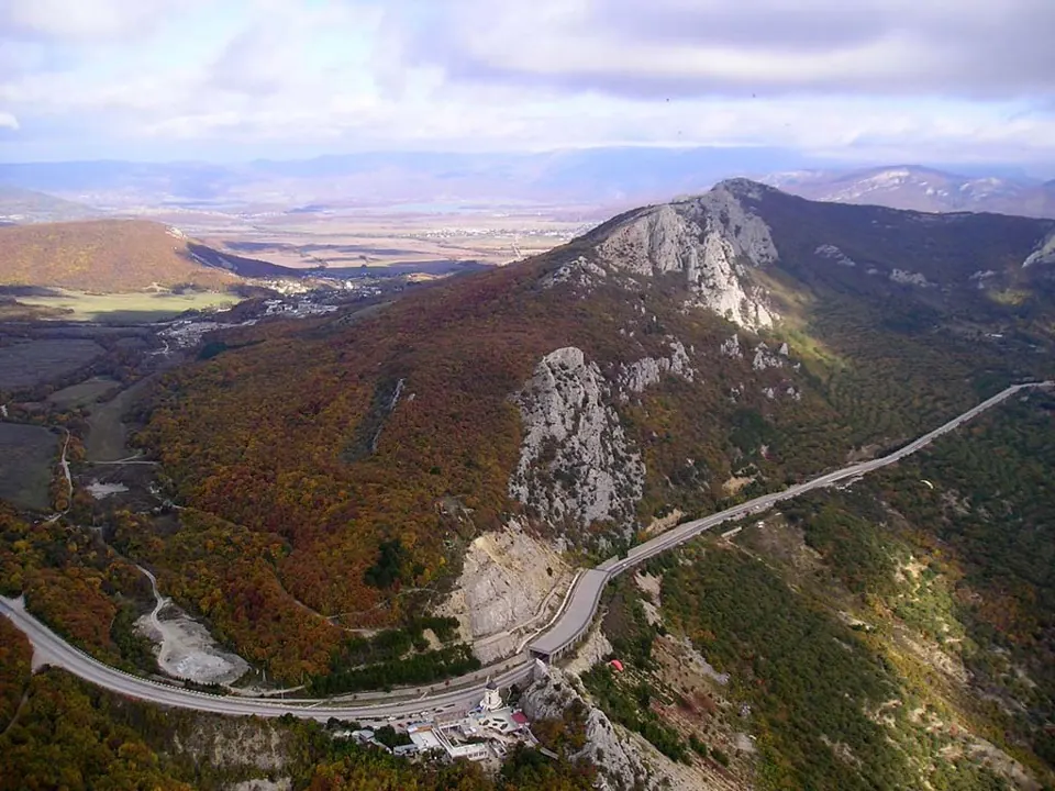
Baydar Gate the historic stone portico.
Tyshlar Rocks the identified natural rock group.
Laspi Yuzhny Pass the named mountain passage.
Saint Elijah Church Ruins the identified historic place.
Ilyas-Kaya Mountain the summit on a separately included section.
Kush-Kaya Mountain the Laspi-side mountain stop.
Kokiya-Kaya Mountain the summit on a separate coastal section.
Medieval Pottery Kiln the identified archaeological stop.
Ayazma-Chokrak Spring the named woodland source.
Asketi Mountain the Balaklava-side mountain stop.
South Fort the historic fortification.
Barrel of Death Observation Post the structure viewed from a safe accessible side.

Difficult sections and safety

На что обратить внимание
Elevation gainСуммарный набор высоты — 6327 м.
SurfaceDirt 10%, Dirt / grass 8%, Gravel 4%, Unknown 75%.
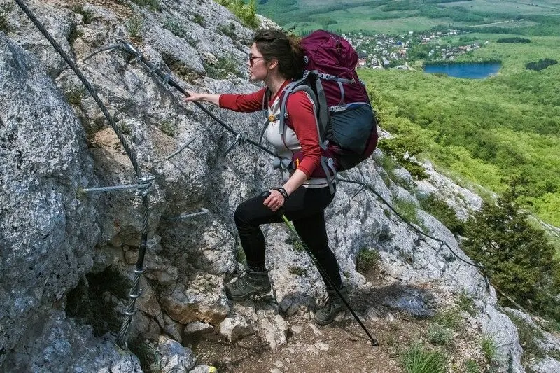
Риски Different beginnings, finishes and access conditions create the main organisational challenge. Mountain sections include rocks, stones and nearby drops; use secure steps after rain. View caves and historic places from permitted sides without entering unsafe openings or shafts. Do not replace transfers between outings with unconfirmed walking shortcuts.

How much time to allow

Оцените свой темп
Расчётное время в пути 2 d 5 h
С запасом на остановки + 30–60 мин
Plan several hiking days as separate outings. Give every day its own beginning, finish, viewing pauses and confirmed exit. Count transfers, museum visits, overnight stays and repeat approaches separately. One official trail’s timing does not describe this entire collection.

Best time to go

Сезонность и рекомендации
Choose dry, snow-free days for individual sections. Waterfalls depend on present flow, rocks on wind and visibility, and woodland on current access. Carry summer water independently. Winter snow or ice can rule out one outing while others remain accessible.

What to bring

Базовый список для комфортного похода
Hiking footwear and poles
Independent water and food for each day
Offline maps of every chosen section and compass
Sun, rain, wind and cold protection
First-aid kit, torch, phone and power bank
Confirmed transfers, accommodation and alternative exits

FAQ

Questions before the trip

Can I do this route without a car?

The official municipal list separates BST into individual directions, including Laspi bus stop. Check services, lower walking approaches and return boarding separately for each day. One confirmed public-transport arrangement for all sections is unavailable

Is this route suitable for children?

Possible with caution: review the surface, difficult sections, and extra time for stops in advance.

Can I download GPX and KML?

Yes, GPX and KML are available on the route page. Open the map, download the file, and use it in a navigator before your trip; key route facts: 146.4 km, hard.

Discussion

Comments 0

Log in to read the discussion and leave comments.

Ask about the route or its surface, or share your experience.