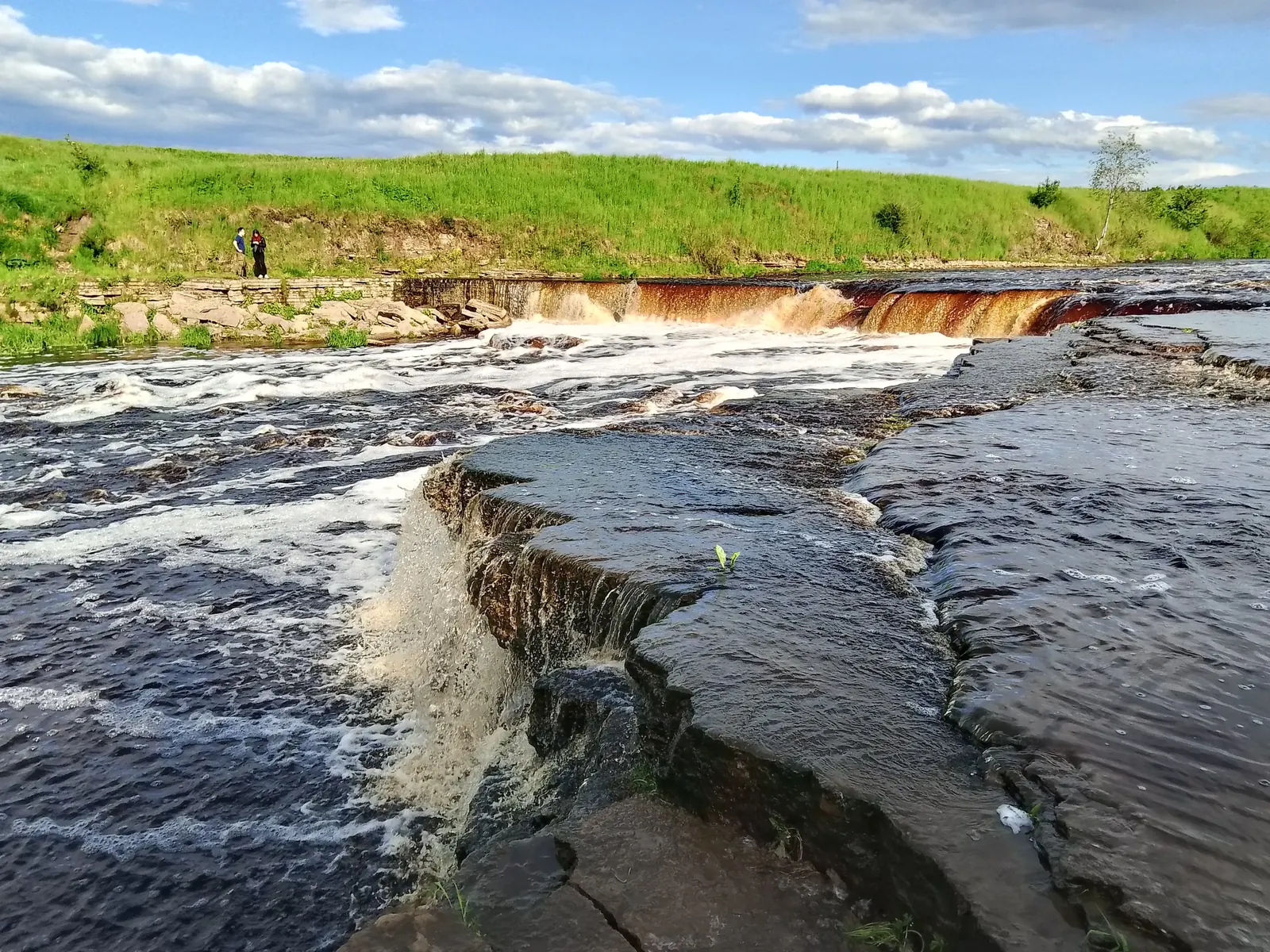

Tosna Waterfall Nature Trail
This short 1 km circular GPX explores the Tosna Waterfall area within Sablinsky Natural Monument. The official nature trail is longer, about 2.1 km, so the supplied file covers a compact waterfall-focused sect…
 Open on map
 Download route

Route status
Added from a track обновление неизвестно No recent trail condition reports
Подробнее о данных маршрута
This route was added from a track. Individual sections have not been checked in the field.
Перед поездкой проверьте доступность тропы, ограничения и прогноз погоды.
Conditions may have changed. Share a report after completing the route.
Последние прохождения
Станьте первым, кто подтвердит прохождение и поможет другим путешественникам.
 Elevation profile
There is no elevation data in the track for the chart.
 Surface
Dirt 97% · Compacted dirt 2%
Surface is defined for 99% of the route.
Before you go
Подготовка к маршруту
 Route at a glance
 Getting there
 Without a car
 By car
Parking
By car
Parking
What to expect
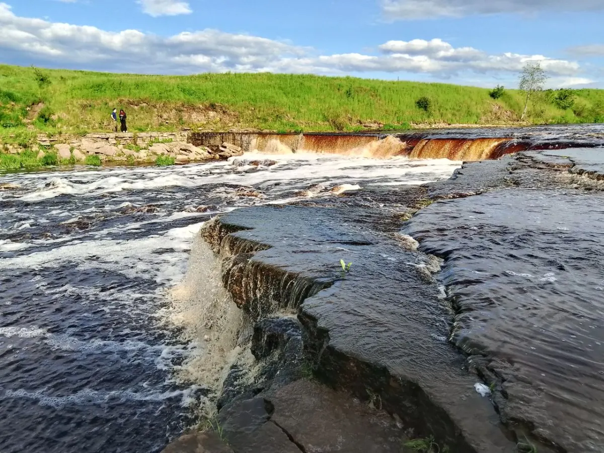
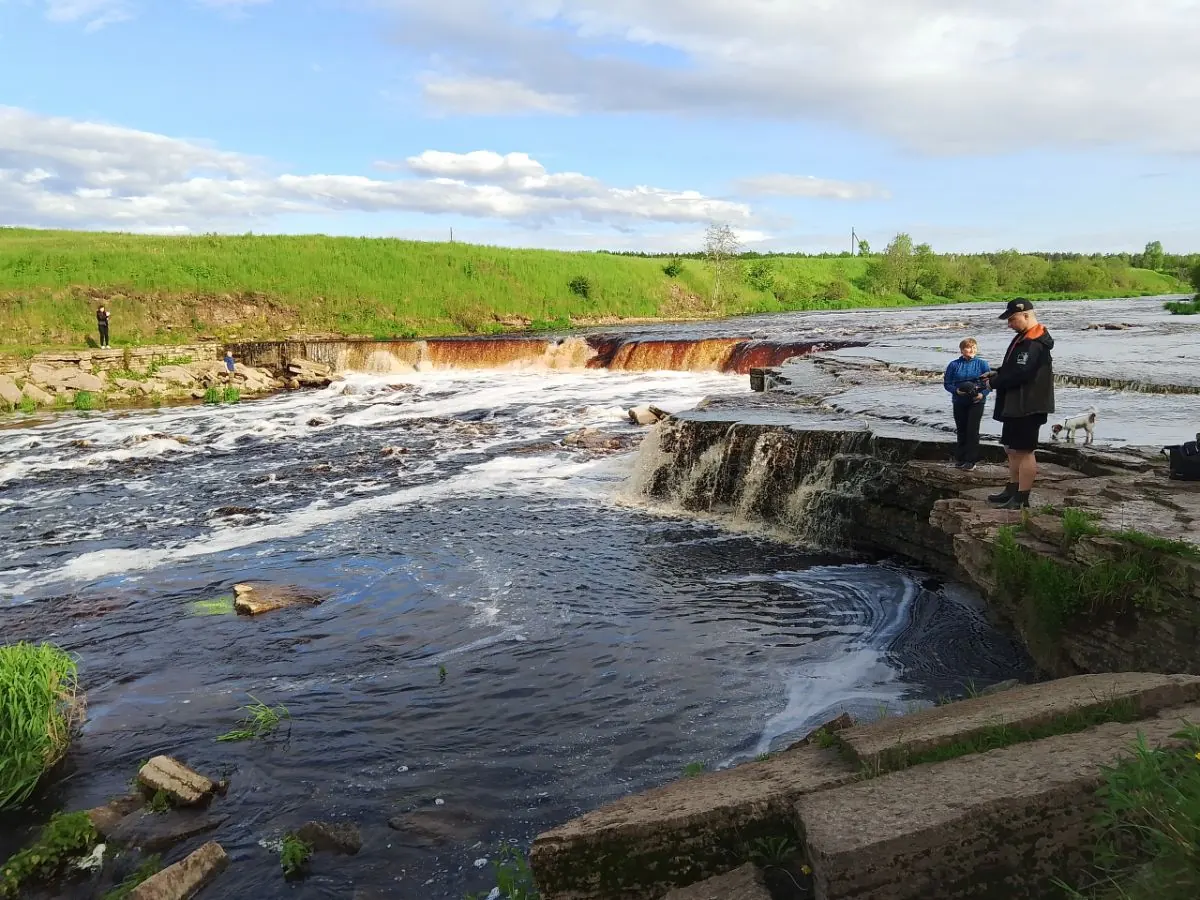
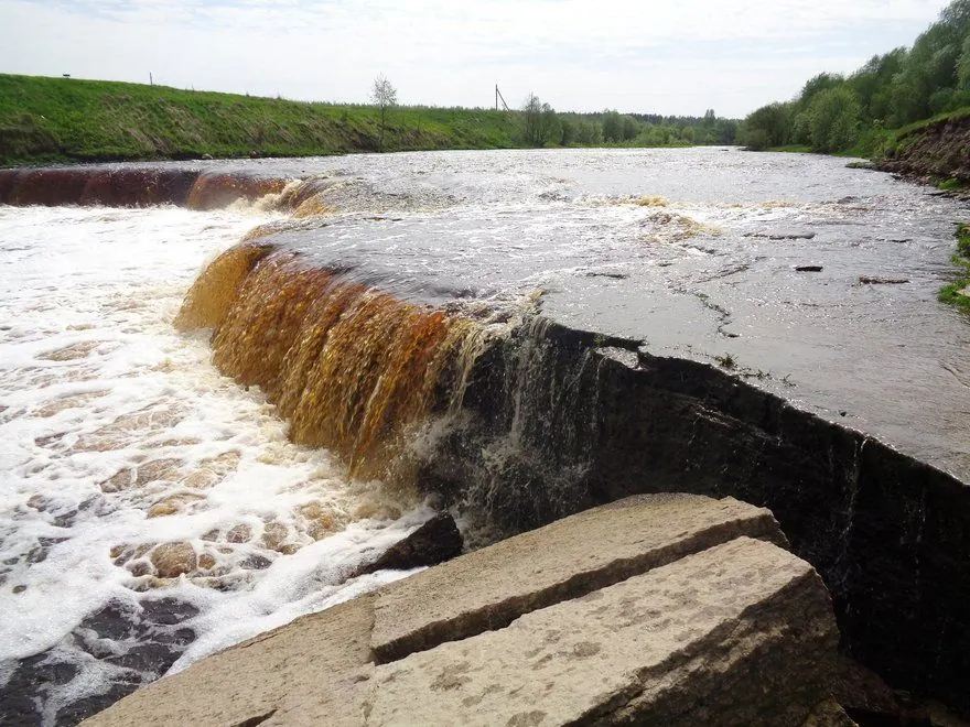
Tosna Waterfall, about 30 m wide
Limestone ledges and geological exposures
The plunge pool below the waterfall
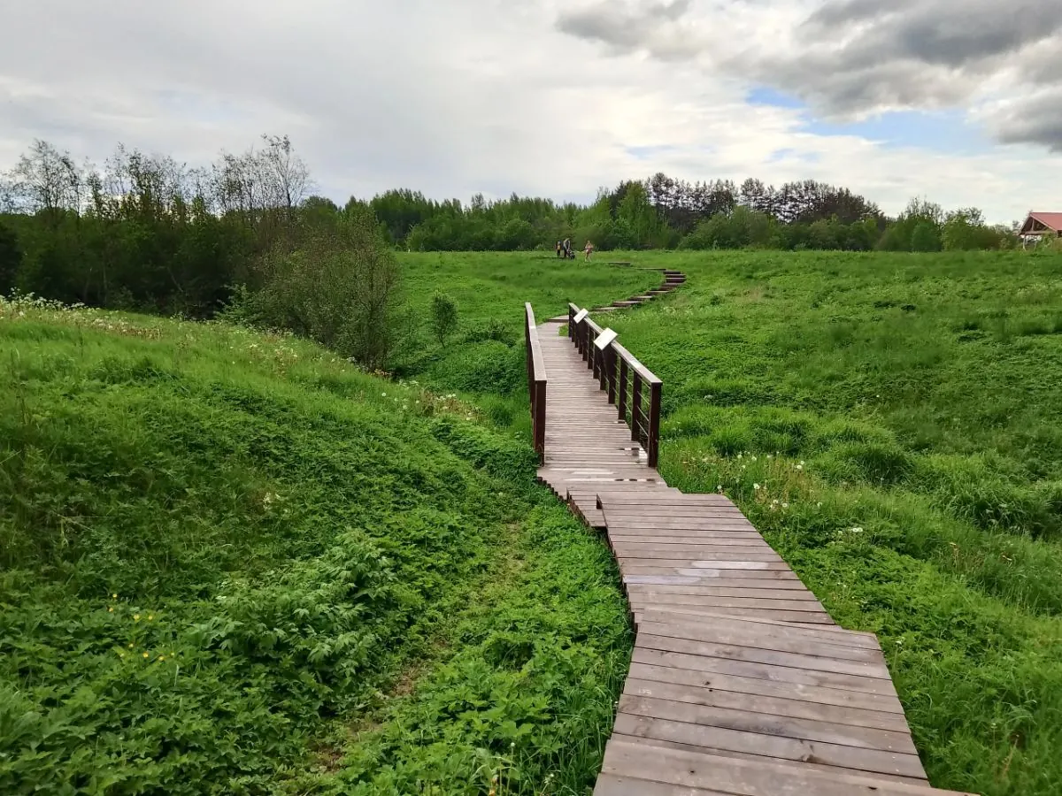
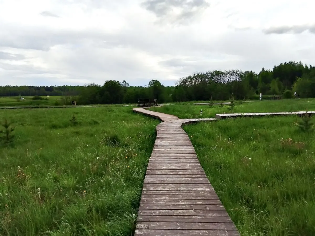
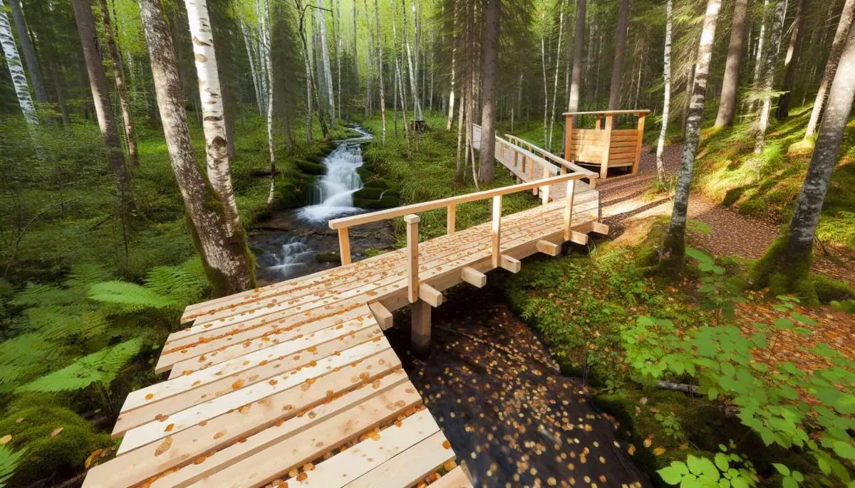
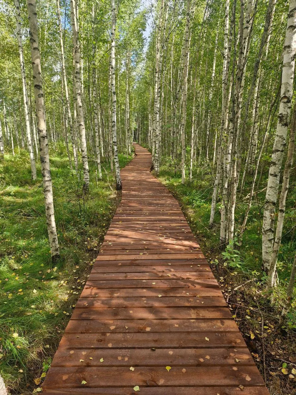
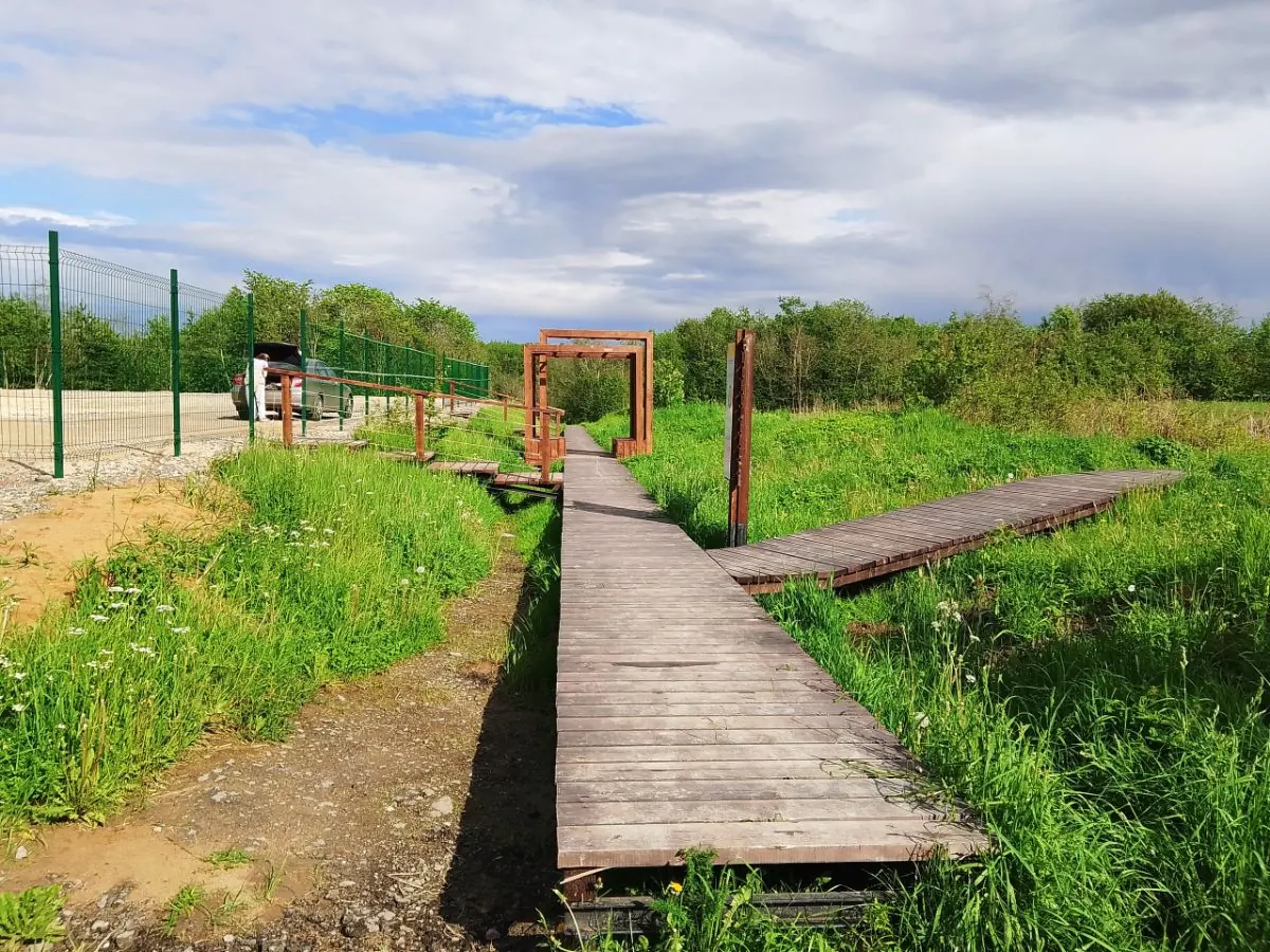
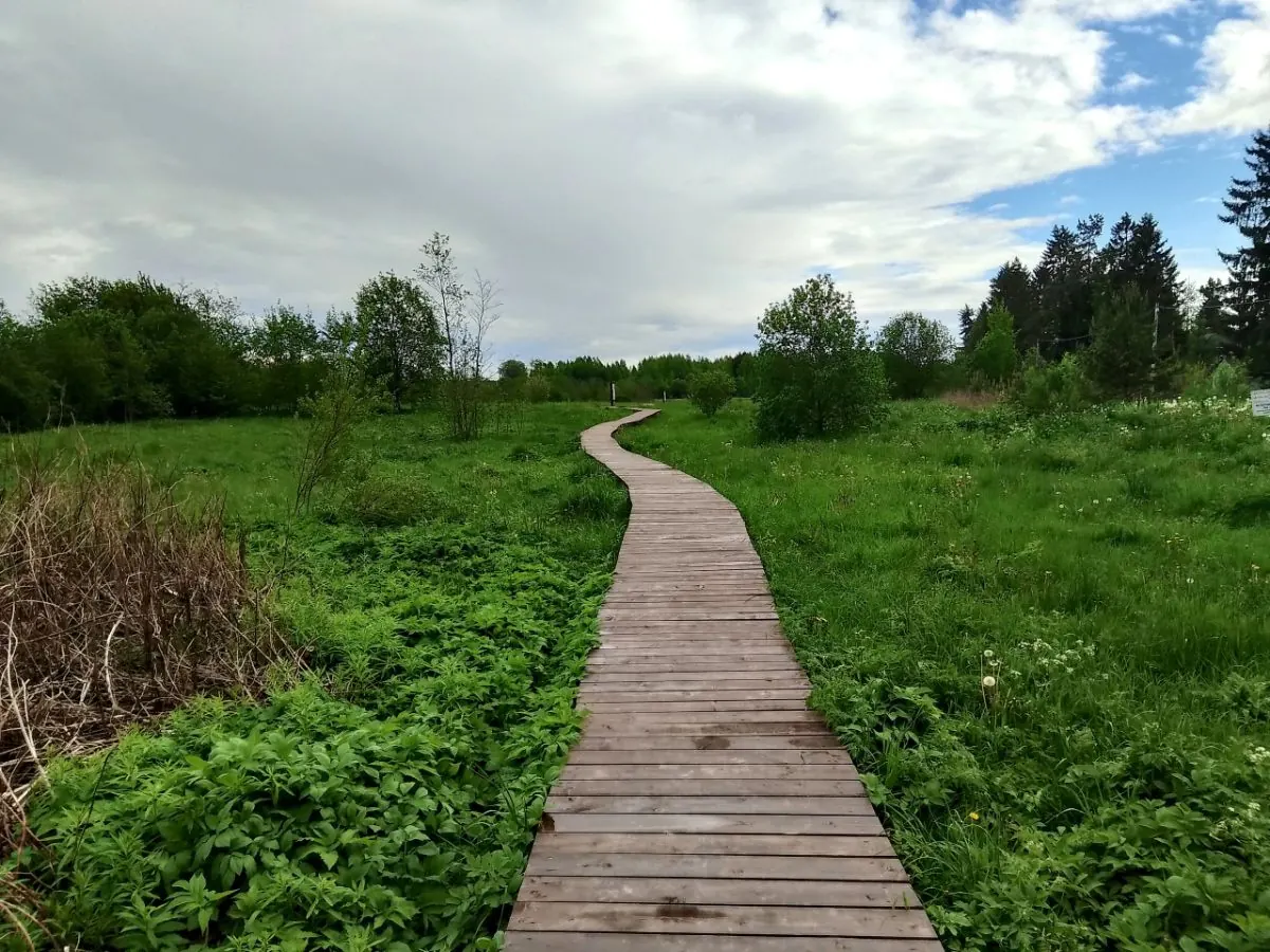
Boardwalks and viewpoints on the official trail
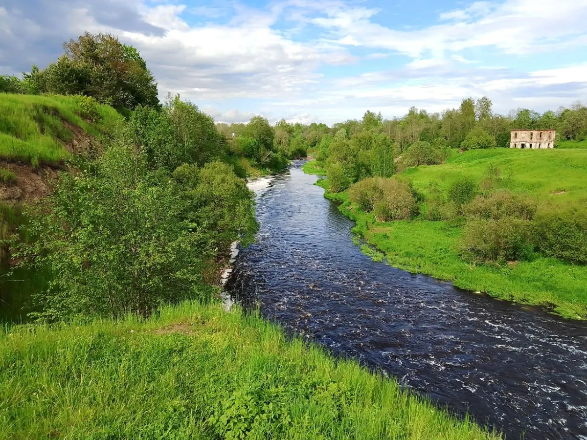
The bank of the Tosna River
A short GPX focused on the main attraction
 Difficult sections and safety
 How much time to allow
Расчёт учитывает дистанцию и набор высоты. Добавьте запас на отдых, погоду и навигацию.
Best time to go
The official trail season runs from May to October, after the snow melts and before lasting snow returns. The waterfall is strongest in spring, though banks are wet; summer flow may be lower; autumn brings attractive forest colour and shorter daylight.
Outside the official season, boardwalks and descents may be covered by snow and ice, so safe passage is not guaranteed.
What to bring
footwear with a grippy, non-slip sole
rain protection
water
 insect repellent and tick protection
a phone with the GPX and official map
a power bank
spare socks in wet weather
insect repellent and tick protection
a phone with the GPX and official map
a power bank
spare socks in wet weather
FAQ
Questions before the trip
Can I do this route without a car?
Take a suburban train to Sablino station in Ulyanovka. Continue to the official entrance by local bus, taxi or on foot, depending on the current timetable and selected trailhead. Check the return connection before travelling. Do not use direct shortcuts across closed riverbank paths or private land
Is this route suitable for children?
Most likely yes: the route is short and easy, but still check weather, surface, and safe rest spots before going.
Can I download GPX and KML?
Yes, GPX and KML are available on the route page. Open the map, download the file, and use it in a navigator before your trip; key route facts: 1.0 km, easy.
Route photos
9 photos
 2.7 km
Обсуждение
Комментарии 0
Войдите, чтобы читать обсуждение и оставлять комментарии.
Можно задать вопрос о маршруте, покрытии или поделиться своим опытом.