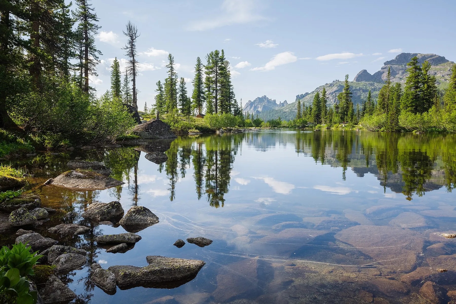


4 Lake Raduzhnoe-Lazurnoe-Khudozhnikov-Karovoe: To Peaceful Shores
The key landmark in this part of the region is Lakes Raduzhnoe-Lazurnoe-Khudozhnikov-Karovoe. The walk brings together coastal paths, exposed headlands and sheltered bays, giving the journey a coherent and var…
 Open on map
 Download route

Route status
Added from a track обновление неизвестно No recent trail condition reports
Подробнее о данных маршрута
This route was added from a track. Individual sections have not been checked in the field.
Геометрия импортирована из GPX. Состояние на местности не проверялось. Сложность оценена автоматически по длине и набору высоты.
Перед поездкой проверьте доступность тропы, ограничения и прогноз погоды.
Conditions may have changed. Share a report after completing the route.
Последние прохождения
Станьте первым, кто подтвердит прохождение и поможет другим путешественникам.
Before you go
Подготовка к маршруту
 Route at a glance
Route suitability
 Without a car
No data
With children
With caution
With a dog
Yes
By bike
Partly
With a stroller
No
Mobile signal
No data
Without a car
No data
With children
With caution
With a dog
Yes
By bike
Partly
With a stroller
No
Mobile signal
No data
 Getting there
 Without a car
 By car
Parking
By car
Parking
What to expect
Lakes Raduzhnoe-Lazurnoe-Khudozhnikov-Karovoe
4 Lakes Raduzhnoe-Lazurnoe-Khudozhnikov-Karovoe
 Difficult sections and safety
 How much time to allow
 Best time to go
Best time: May–October, depending on weather and trail conditions
Mud, slippery roots and saturated ground are possible in spring and late autumn
Check the full-day forecast and available daylight before setting out
What to bring
shoes with grippy soles
water and food
a charged phone with an offline map
a small first-aid kit
a lightweight rain jacket
FAQ
Questions before the trip
Can I do this route without a car?
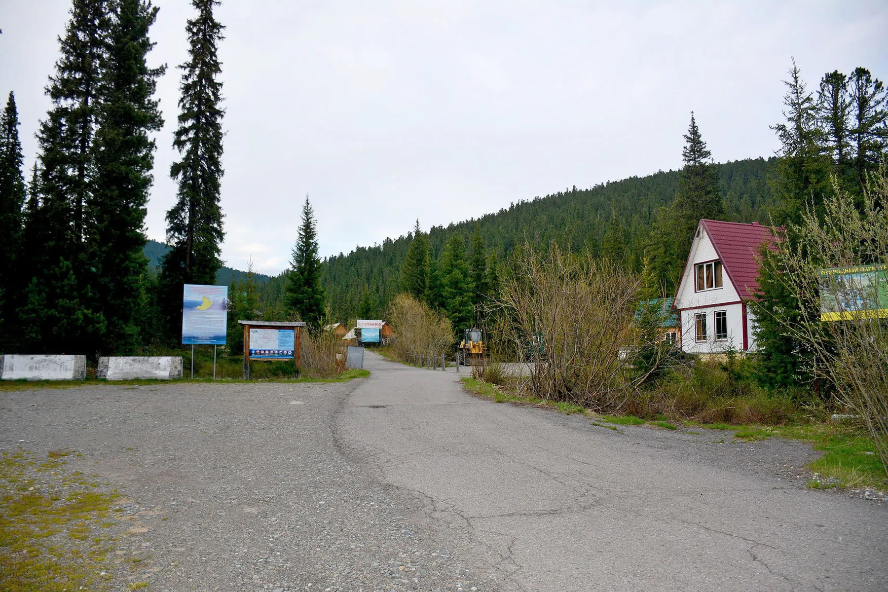
Reach Abakan or Minusinsk by train or air, then take an intercity bus towards Kyzyl. Alight at the Ergaki visitor centre, a tourist base or the stop nearest the trailhead; check the return service in advance. Because the start and finish are in different places, check the return service in advance, arrange a transfer or leave a second vehicle near the finish
Is this route suitable for children?
Possible with caution: review the surface, difficult sections, and extra time for stops in advance.
Can I download GPX and KML?
Yes, GPX and KML are available on the route page. Open the map, download the file, and use it in a navigator before your trip; key route facts: 9.2 km, easy.
Route photos
5 photos
Авторы и источники фотографий
-
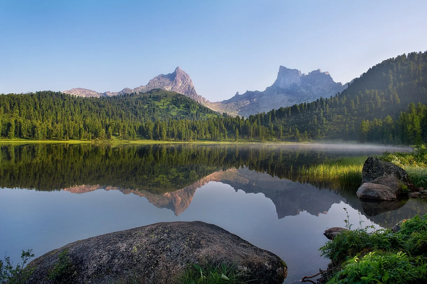
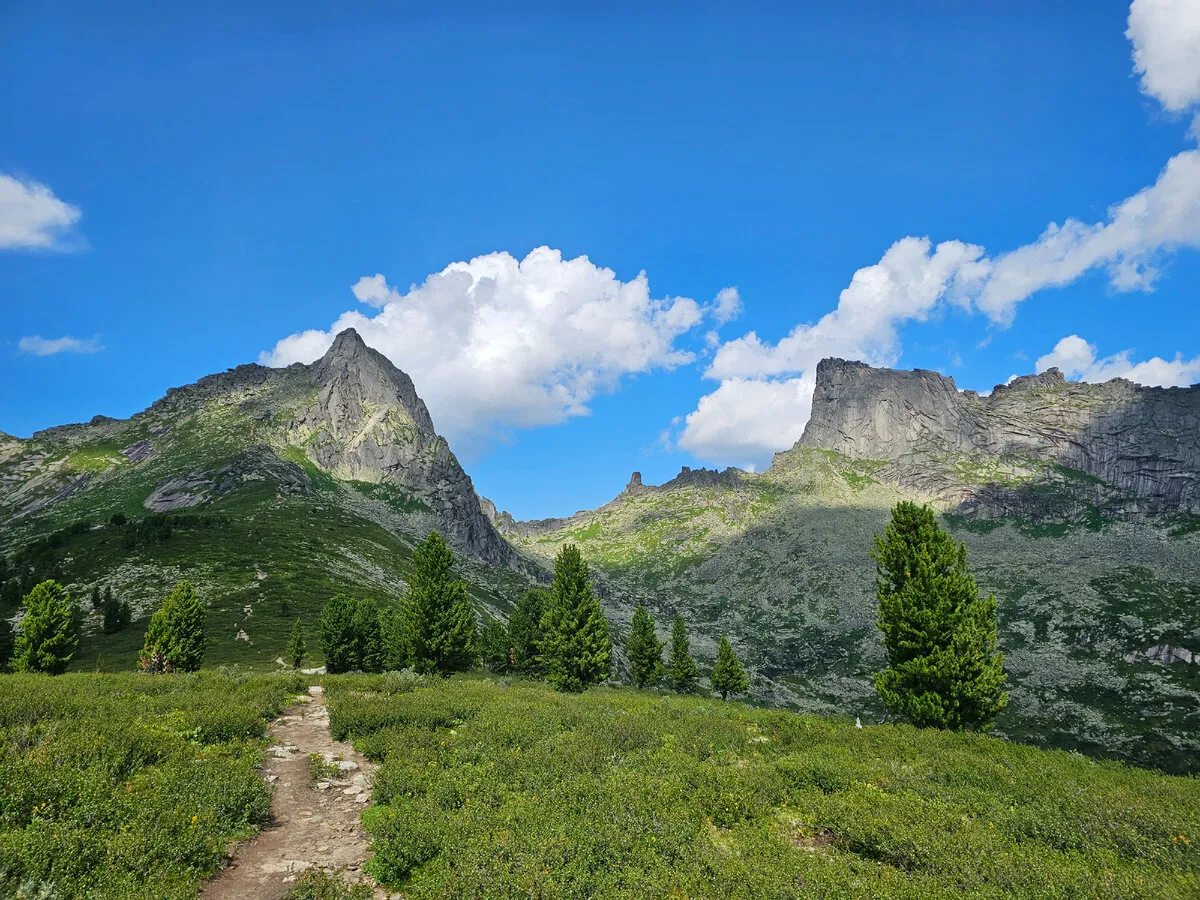
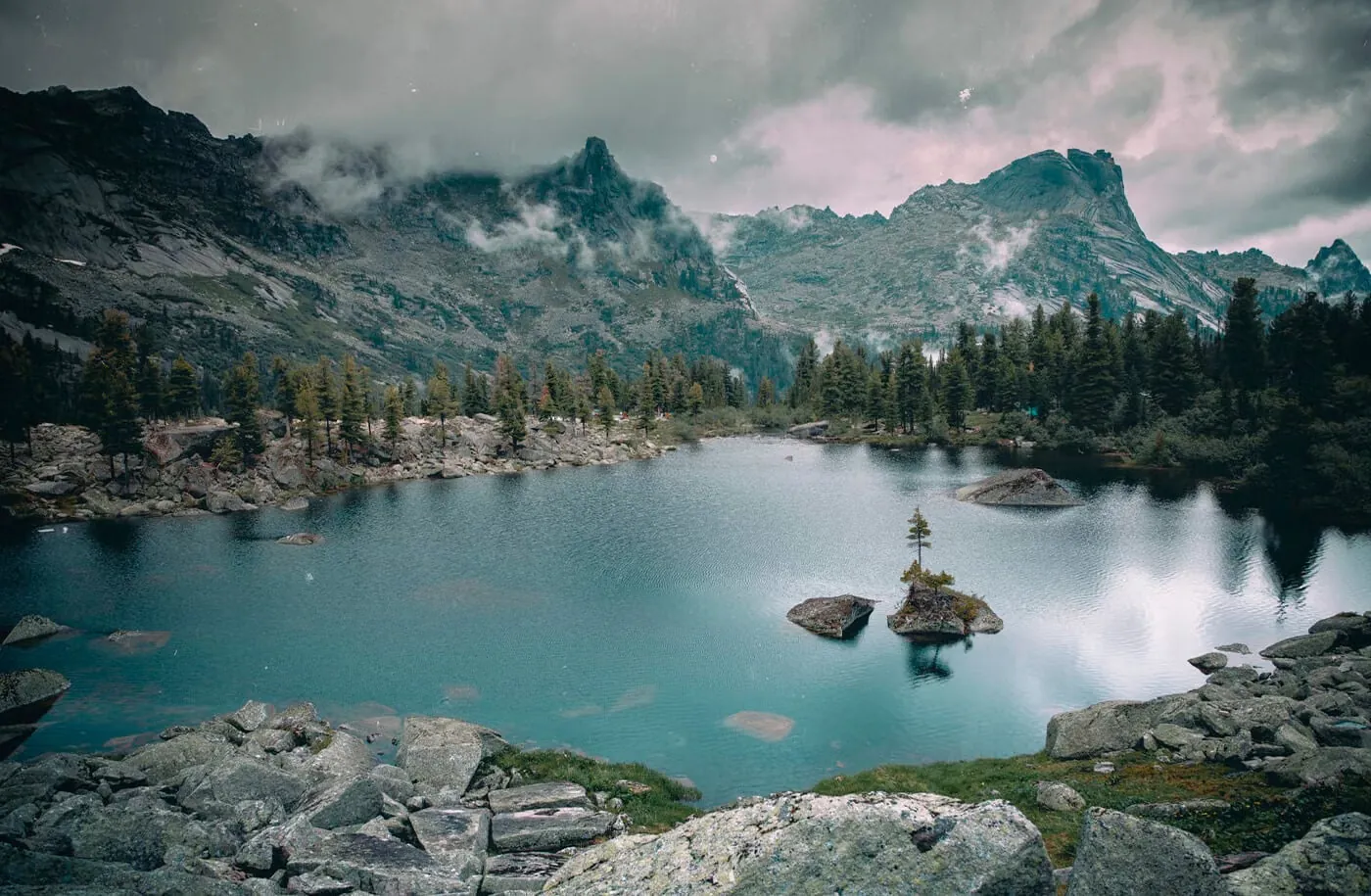
Озеро Лазурное, Ергаки
Первоисточник
JPEG, max 2400 px, EXIF orientation applied, no crop; metadata removed from resized copy; WebP, max 1800×1200 px, no crop
-
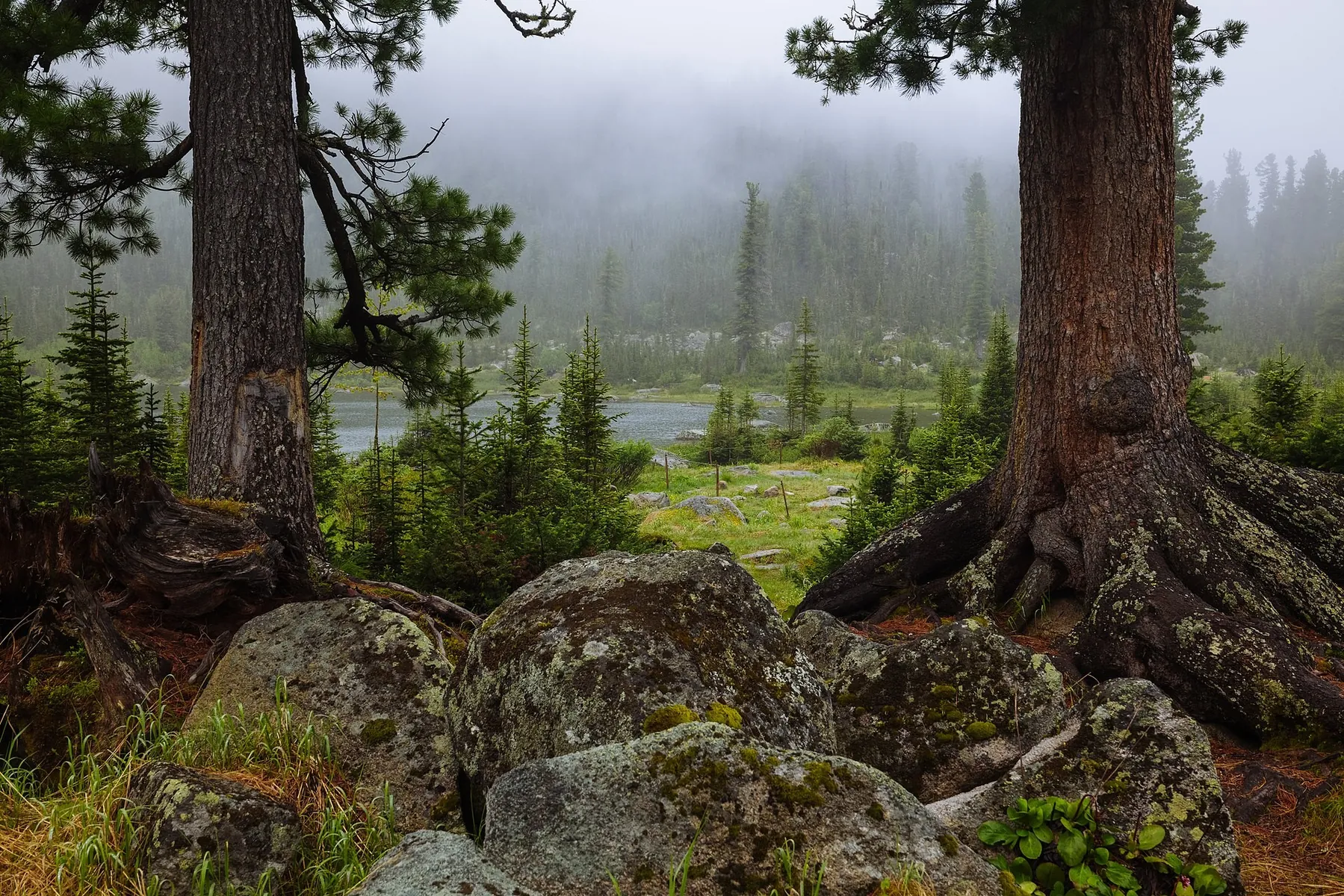
Пасмурный день в Ергаках
Первоисточник
JPEG, max 2400 px, EXIF orientation applied, no crop; metadata removed from resized copy; WebP, max 1800×1200 px, no crop
-
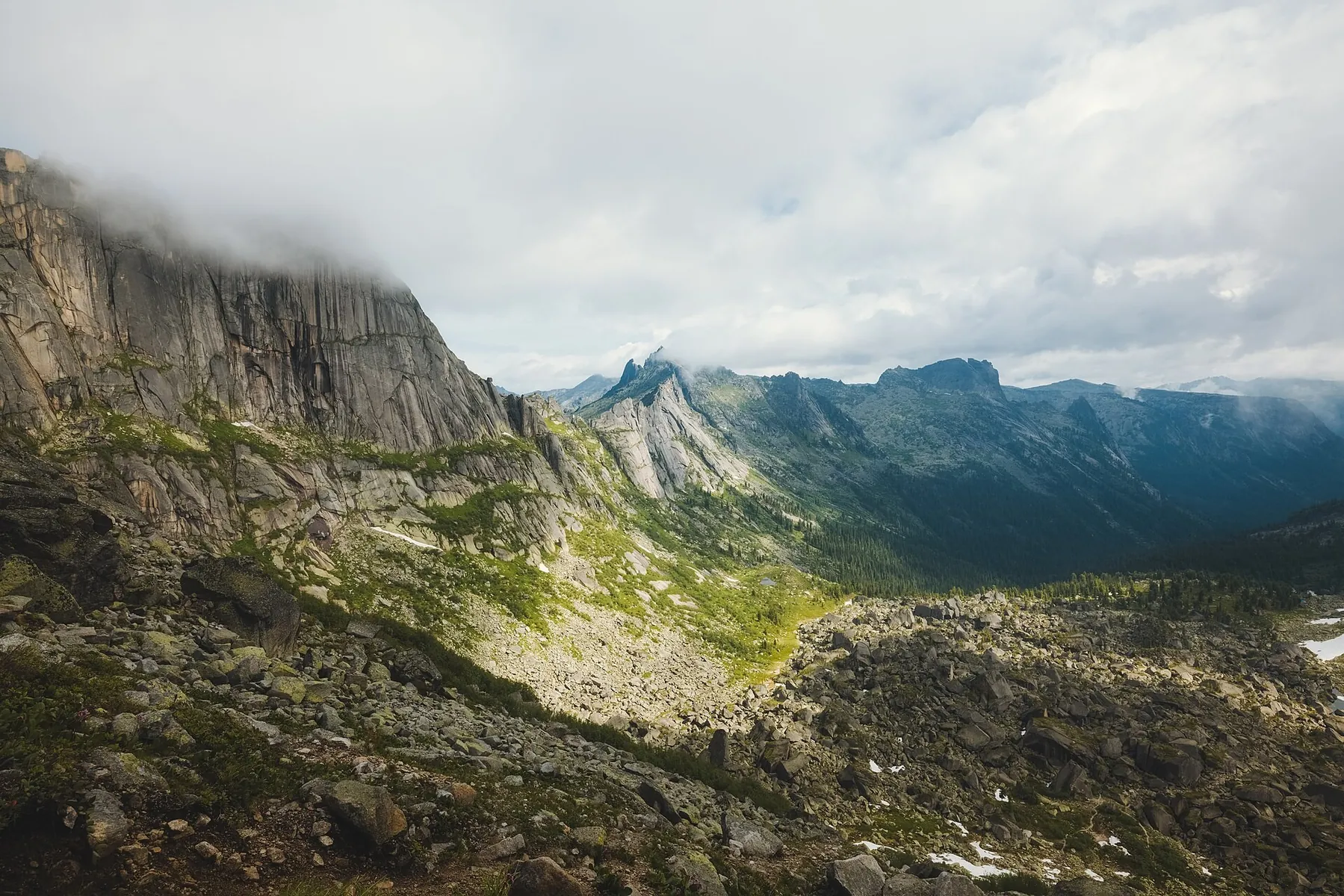
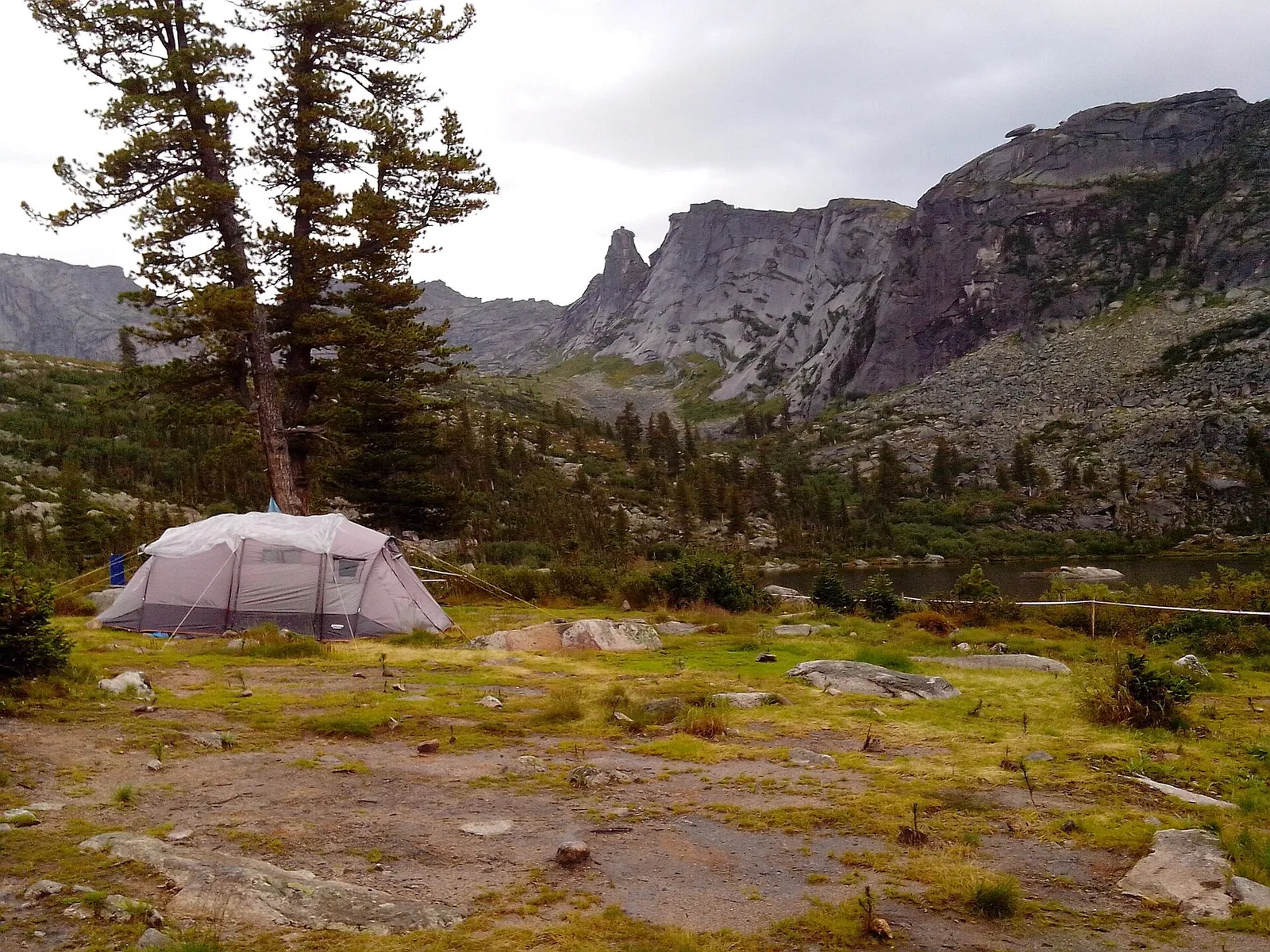
Перевал Художников
Первоисточник
JPEG, max 2400 px, EXIF orientation applied, no crop; metadata removed from resized copy; WebP, max 1800×1200 px, no crop
-
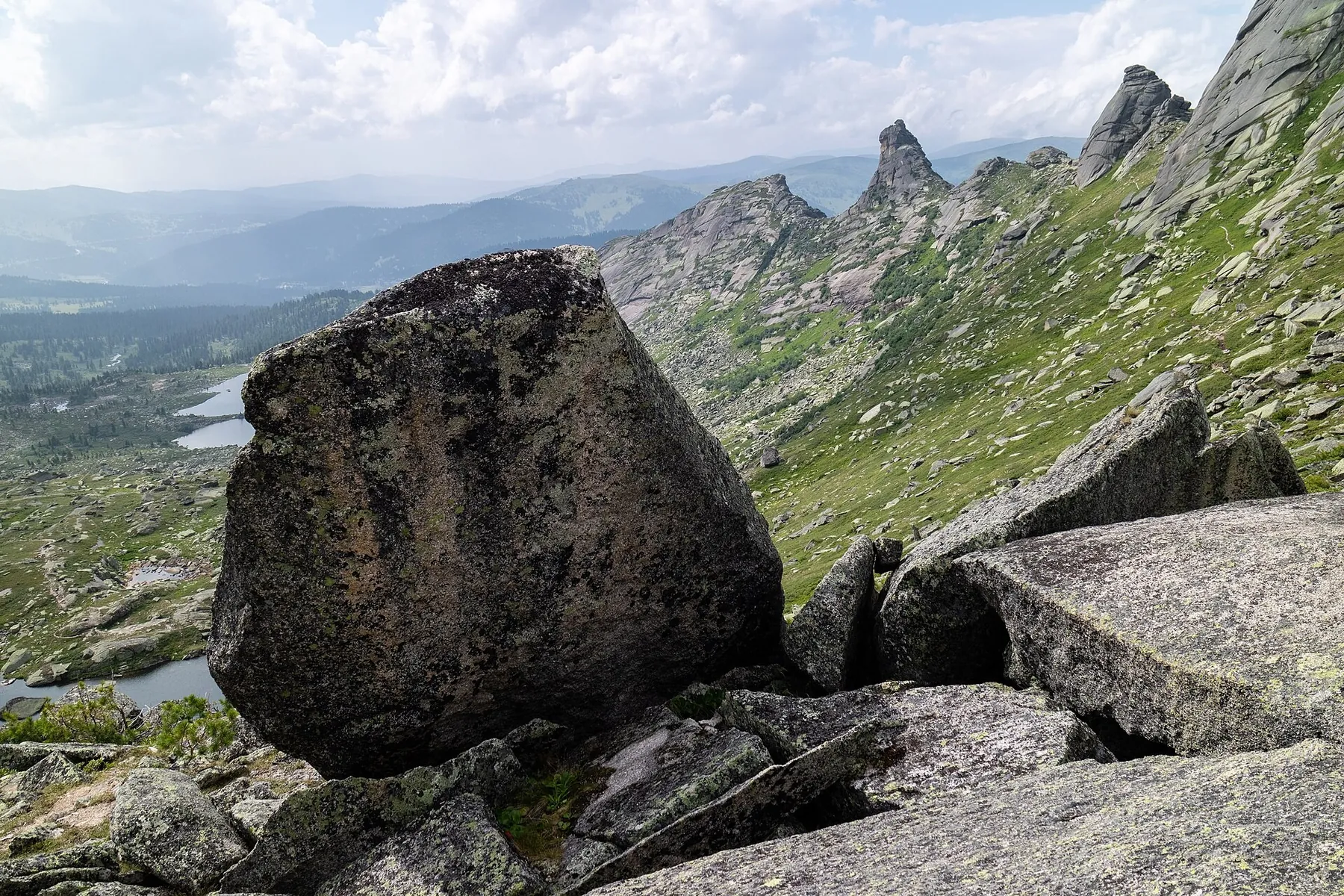
Ergaki, Buiba Valley, Massive granite rocks, Western Sayan Mountains, Russia
Первоисточник
JPEG, max 2400 px, EXIF orientation applied, no crop; metadata removed from resized copy; WebP, max 1800×1200 px, no crop
-
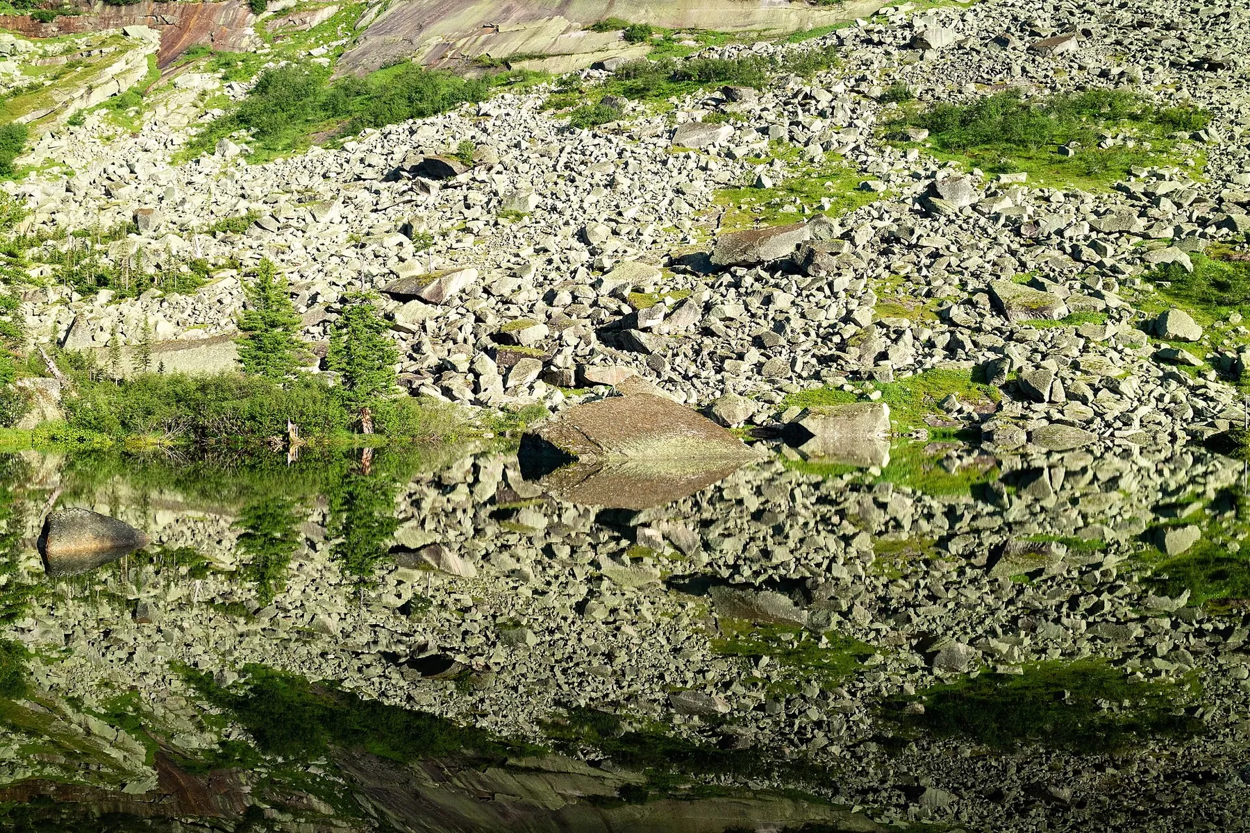
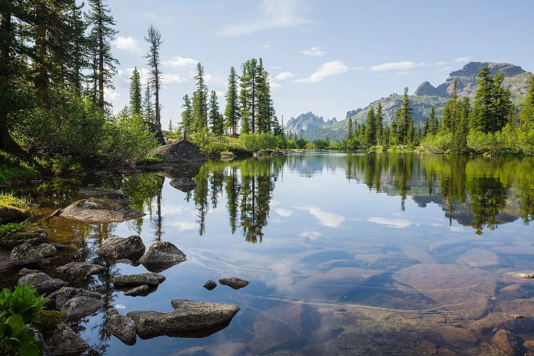
Ergaki, Artists' Lake, Reflections 2, Sayan Mountains, Russia
Первоисточник
JPEG, max 2400 px, EXIF orientation applied, no crop; metadata removed from resized copy; WebP, max 1800×1200 px, no crop
-
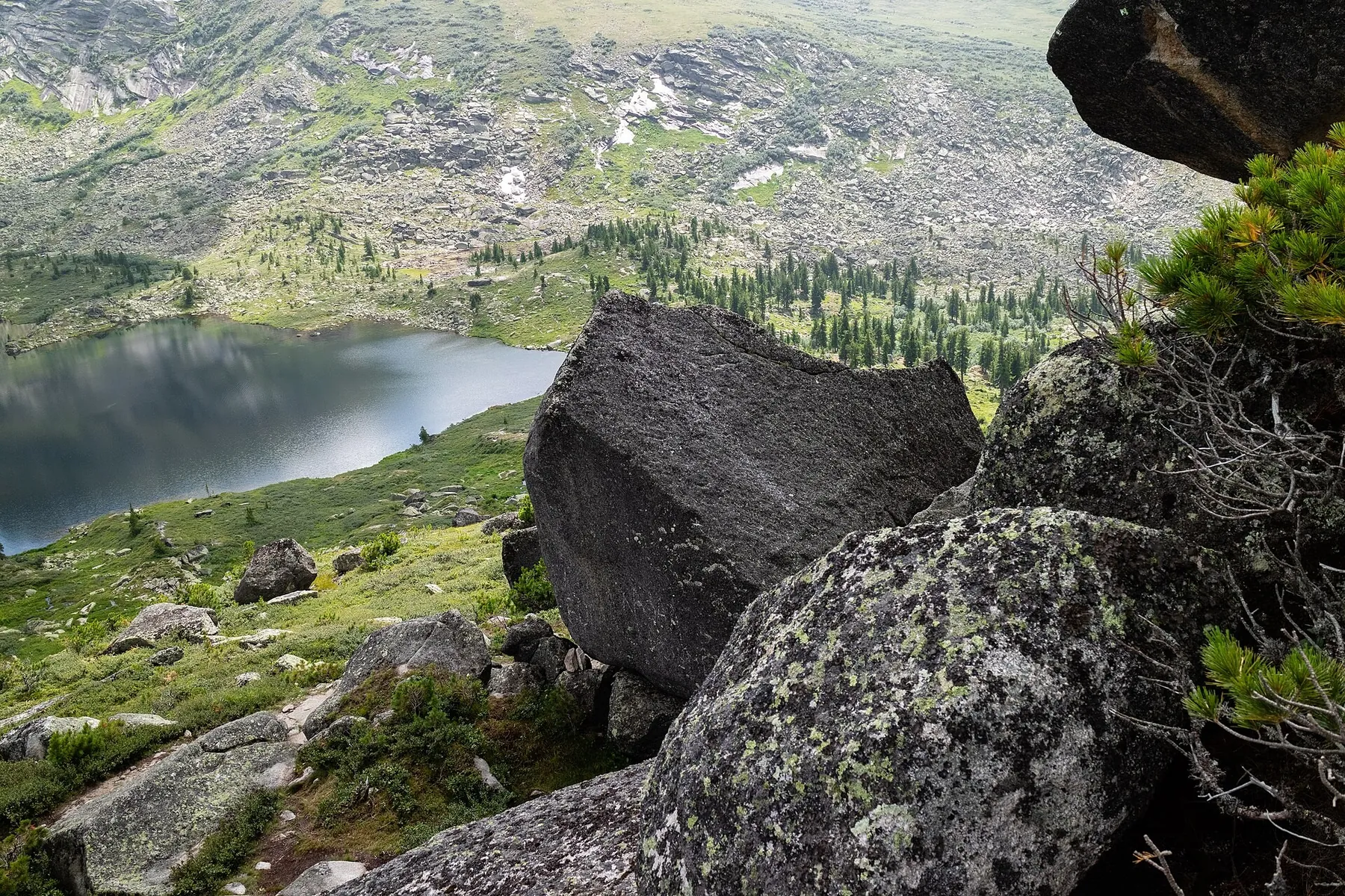
Ergaki, Rock monoliths in Buiba Valley, Sayan Mountains, Russia
Первоисточник
JPEG, max 2400 px, EXIF orientation applied, no crop; metadata removed from resized copy; WebP, max 1800×1200 px, no crop
 6.8 km
Обсуждение
Комментарии 0
Войдите, чтобы читать обсуждение и оставлять комментарии.
Можно задать вопрос о маршруте, покрытии или поделиться своим опытом.