
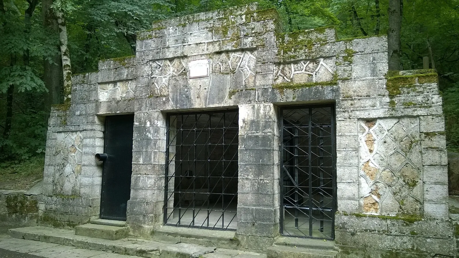
TrailTrack route Hiking Caucasus One-day Waiting for the first trip report

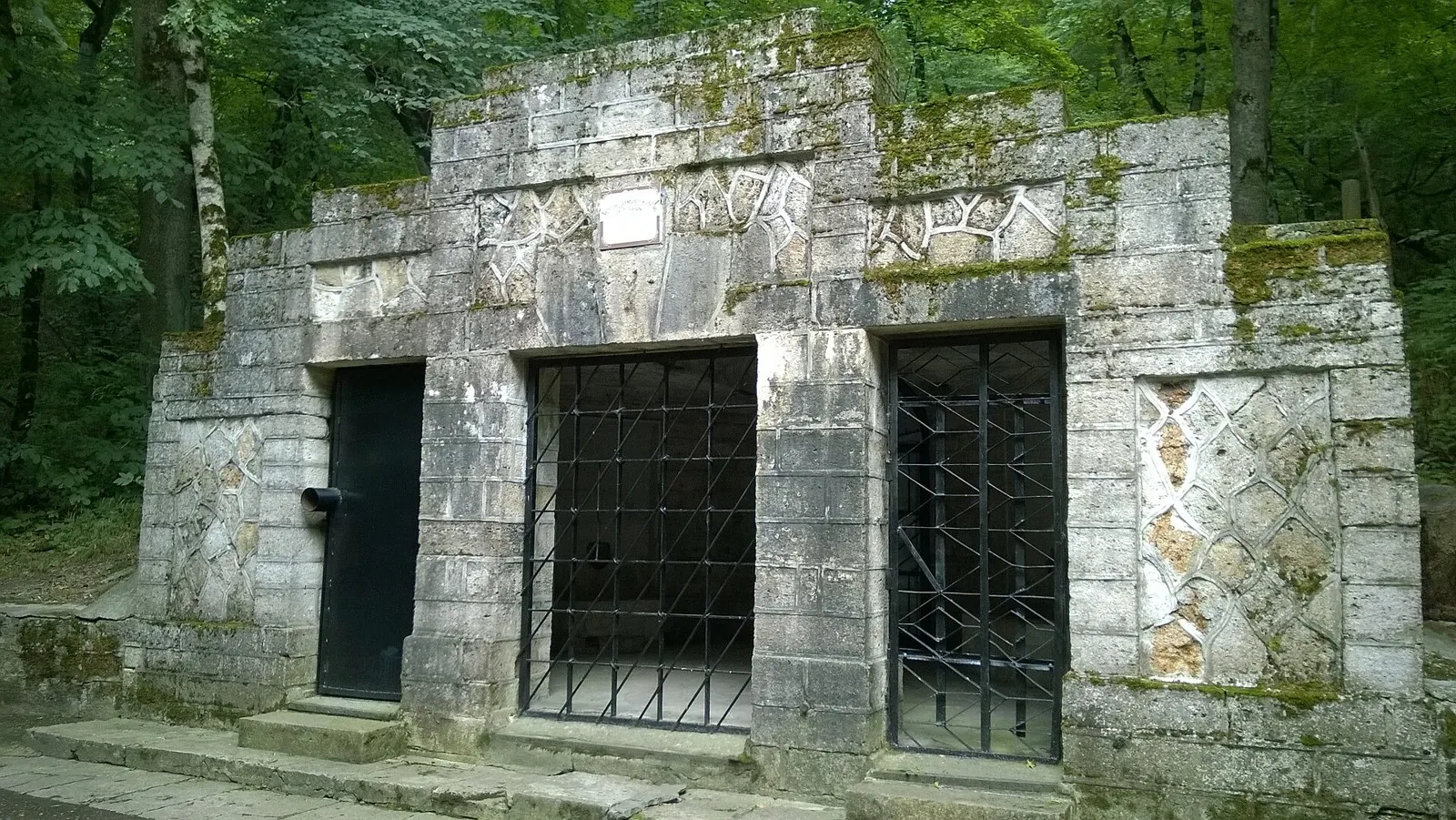
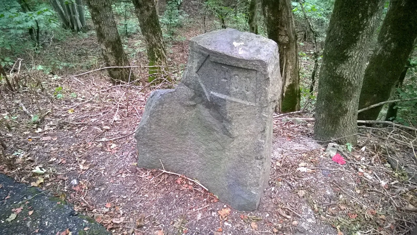
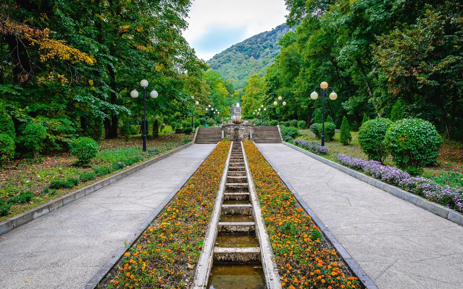
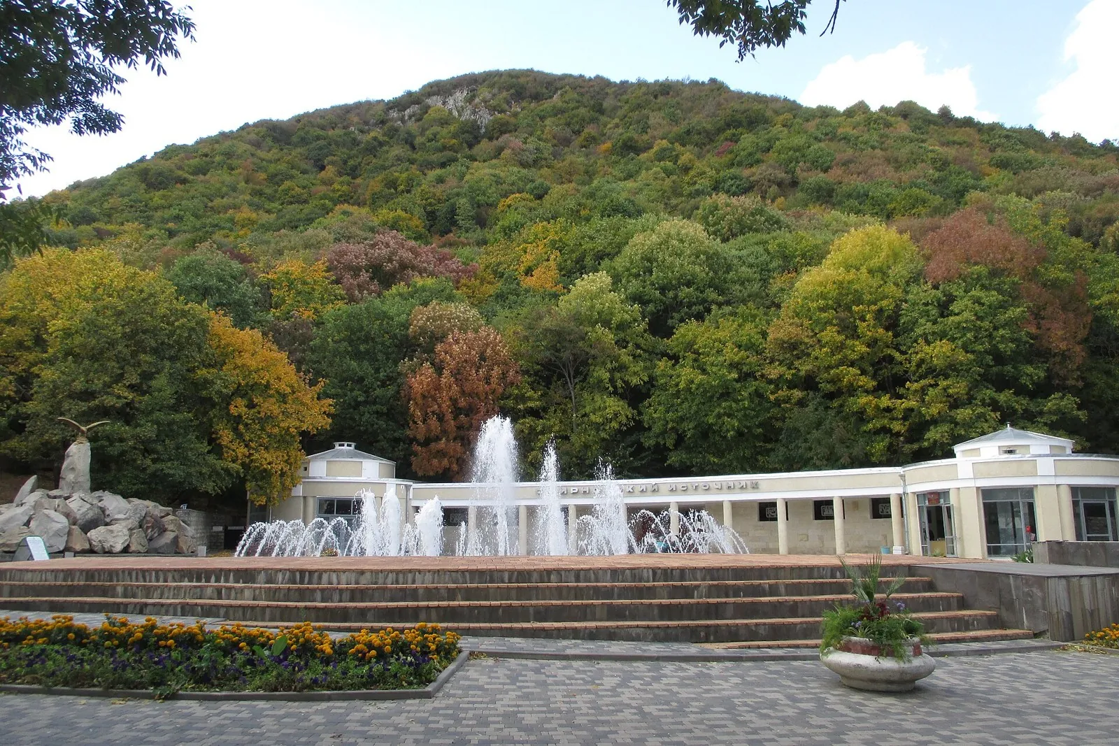
Walking Route in the Caucasus — 4,9 km

Distance
4.9 km
Time
1 h 32 min
Elevation gain
70 m
Difficulty
Easy

Description

This is a point-to-point walking route with different start and finish points. Recorded figures: 4.85 km.

Route map

Open full map

Elevation profile

gentle climb steep

There is no elevation data in the track for the chart.

Surface

Asphalt 62% · Paving stones 26% · Artificial surface 4%

Surface is defined for 93% of the route.

Asphalt 62% · 3.01 km
Paving stones 26% · 1.26 km
Artificial surface 4% · 0.17 km
Dirt / grass 1% · 0.06 km
Dirt 1% · 0.01 km

Встроить маршрут на сайт

Выберите формат виджета и вставьте код на свой сайт. Карта использует тайлы TrailTrack и сохраняет ссылки на источники данных.

Вид виджета
Preview

Share

Sign in to send a link in a private message.