Pionerskaya Bay
The point-to-point hiking route “Pionerskaya Bay” is approximately 5.3 km long. The route heads to Pionerskaya Bay on Kam…

Однодневные походы с картой, параметрами и полезными материалами.
Подборка
На этой странице собраны однодневные походы и связанные материалы по региону Камчатский край. Используйте карточки маршрутов, GPX и карту TrailTrack, чтобы быстро выбрать подходящий вариант.
11 routes
The point-to-point hiking route “Pionerskaya Bay” is approximately 5.3 km long. The route heads to Pionerskaya Bay on Kam…
The point-to-point hiking route “Dachnye Hot Springs” is approximately 1.7 km long. The destination is the Dachnye hot-sp…
The point-to-point hiking route “Ganalskiye Vostryaki” is approximately 15.5 km long. The route provides a ready-made lin…
The point-to-point hiking route “Blue Lakes” is approximately 13.0 km long, with about 530 m of ascent from the GPX. The …
The loop hiking route “Vachkazhets Mountain Massif” is approximately 12.2 km long, with about 520 m of ascent from the GP…
The point-to-point hiking route “Kamchatka Stone” is approximately 3.3 km long. The route provides a ready-made line for …
The point-to-point hiking route “Petropavlovsk Lighthouse to Cape Vertikalny” is approximately 1.6 km long. The line foll…
The point-to-point hiking route “Cape Mayachny” is approximately 11.2 km long. The line follows a shore, bay or cape sect…
The point-to-point hiking route “Waterfall at Babiy Rock” is approximately 3.3 km long. The main objective is the waterfa…
The point-to-point hiking route “Snow Leopard Waterfall on Spokoyny Stream” is approximately 3.2 km long. The main object…
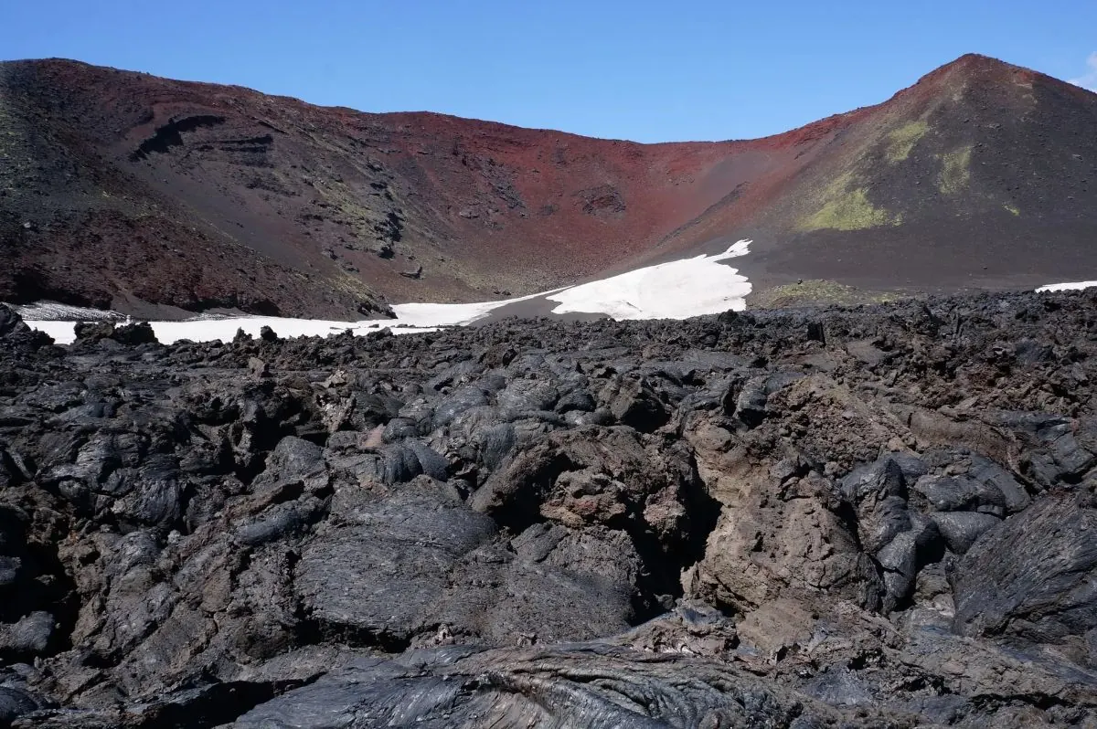
Notable places along the way include Kleshnia, Naboko Breakthrough, and Tolbachik. Vegetation gradually gives way to lava…
Материалы
FAQ
Смотрите дистанцию и набор высоты. Для спокойного выезда начинайте с коротких маршрутов, а сложные варианты оставляйте для подготовленной группы.
Проверяйте сезонность. Зимой часть маршрутов может требовать лыж, снегоступов или другой подготовки, а после дождей грунт меняется.
Открывайте карту и GPX. Карточки TrailTrack помогают заранее оценить трек, точки, покрытие и логистику.
Похожие страницы