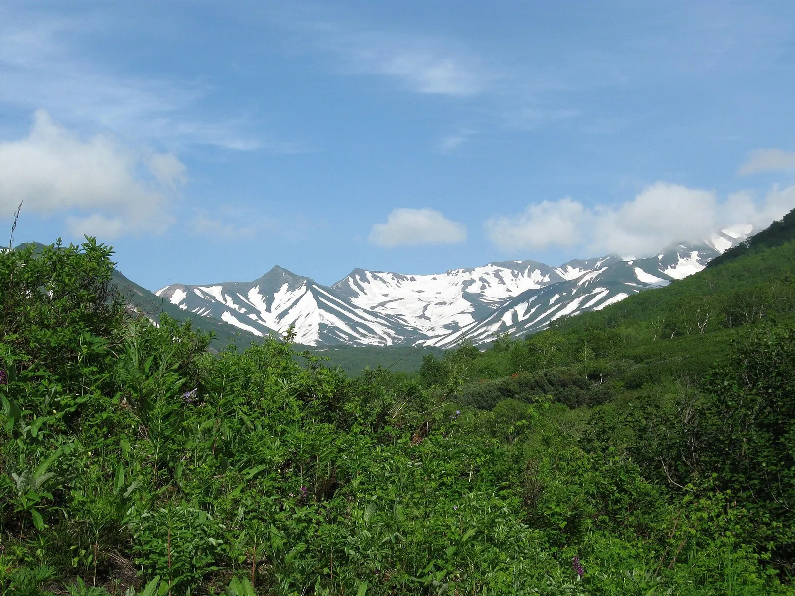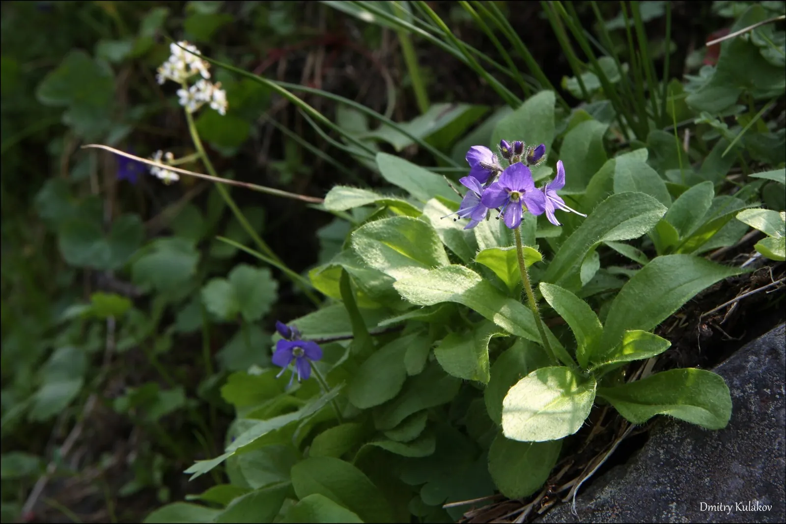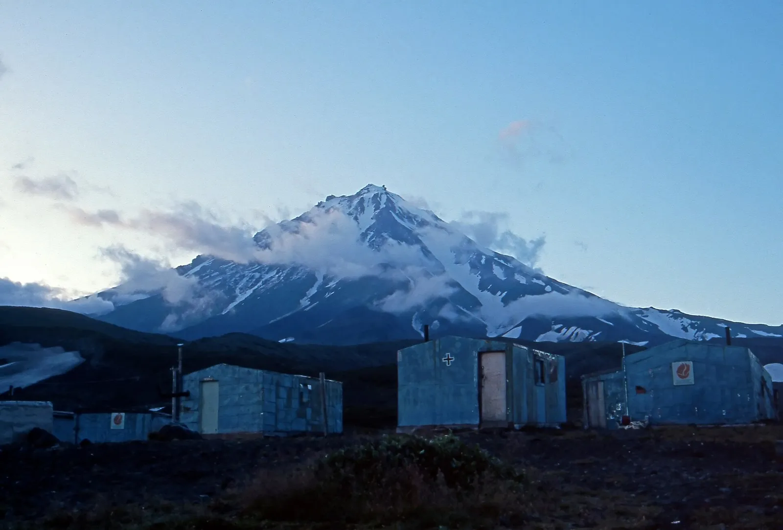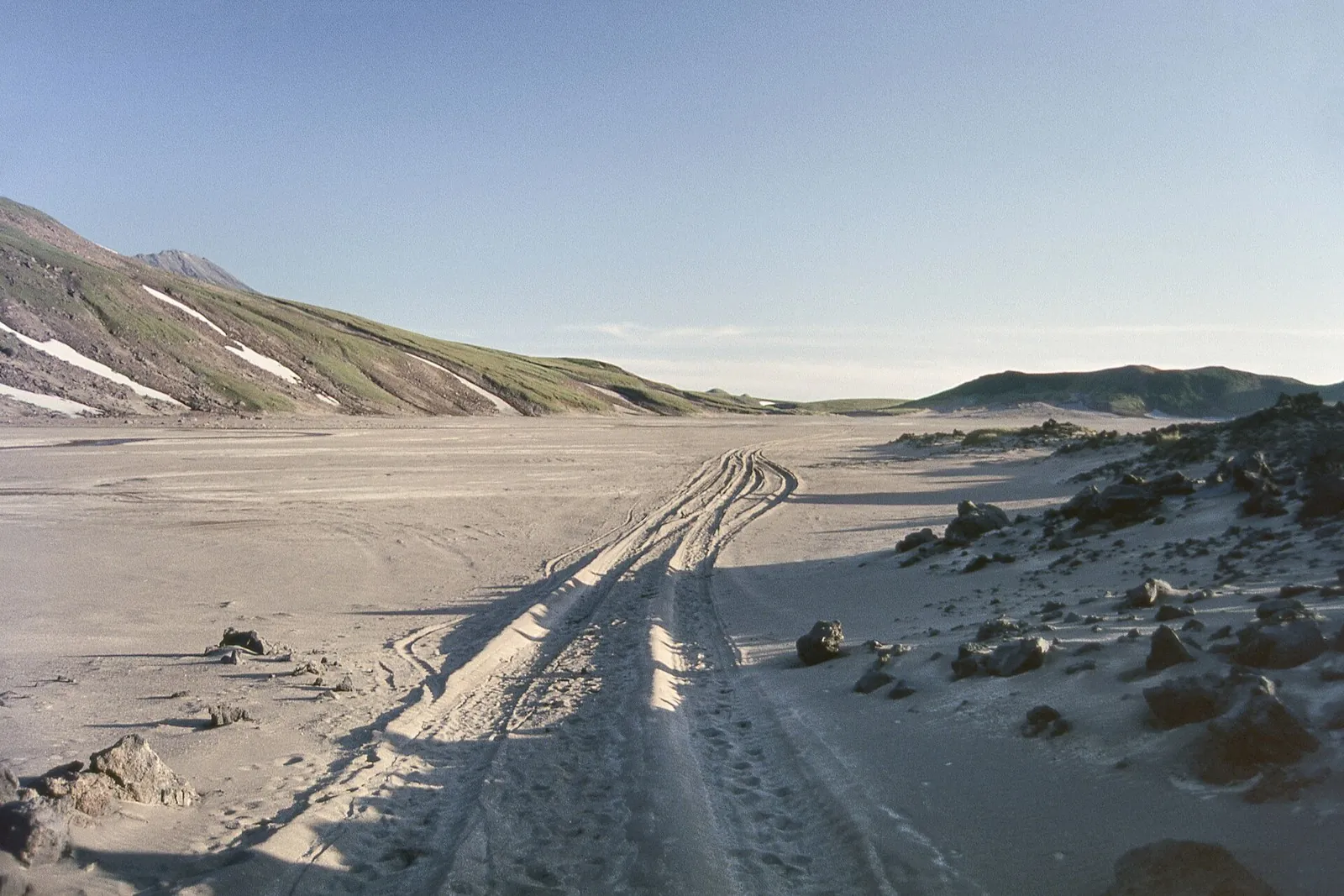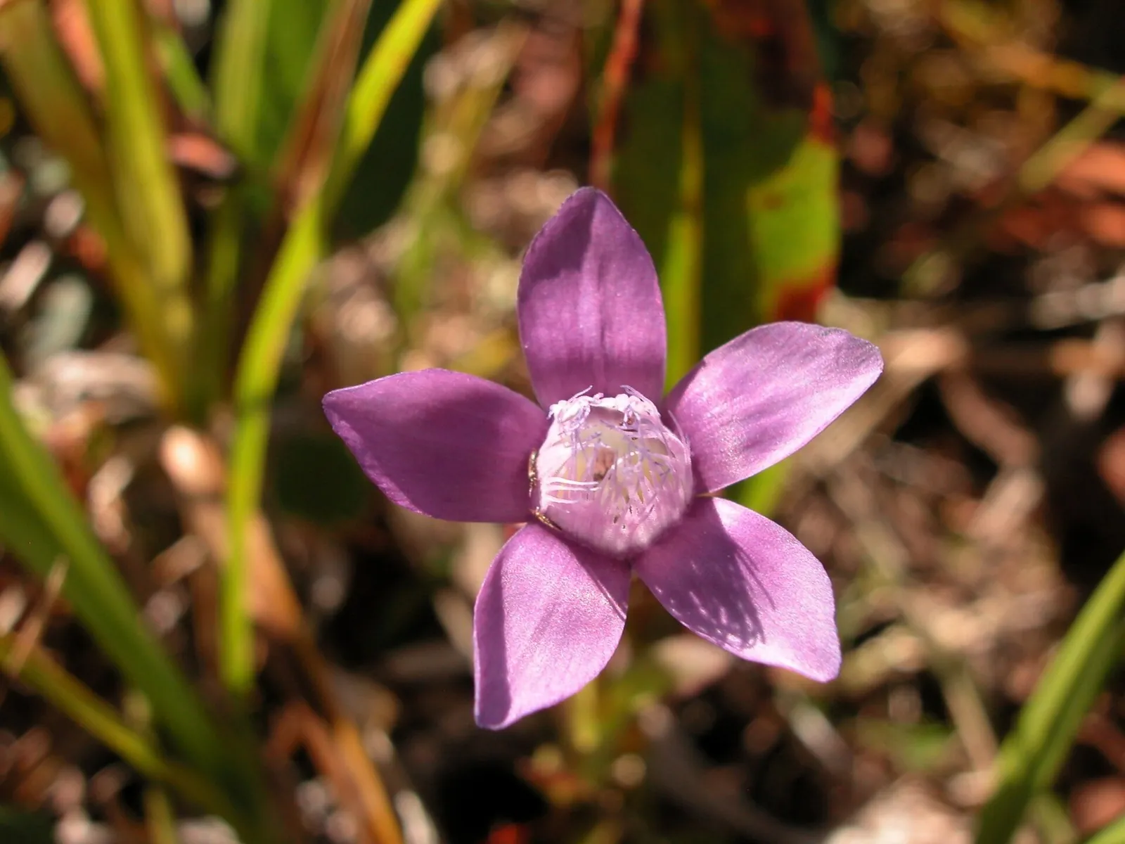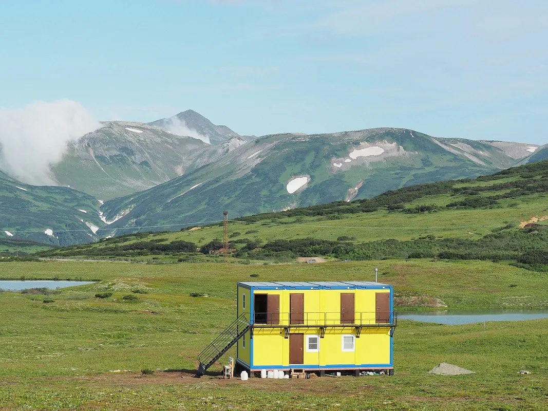
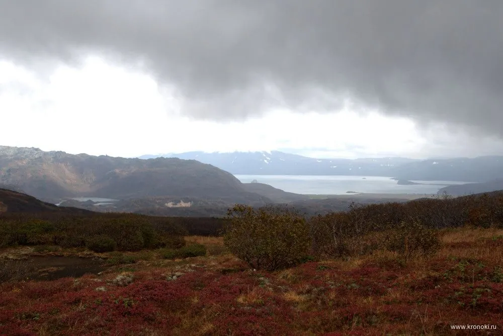
Ozyornaya from two sides: road approaches and the Kutkhiny Baty outlook
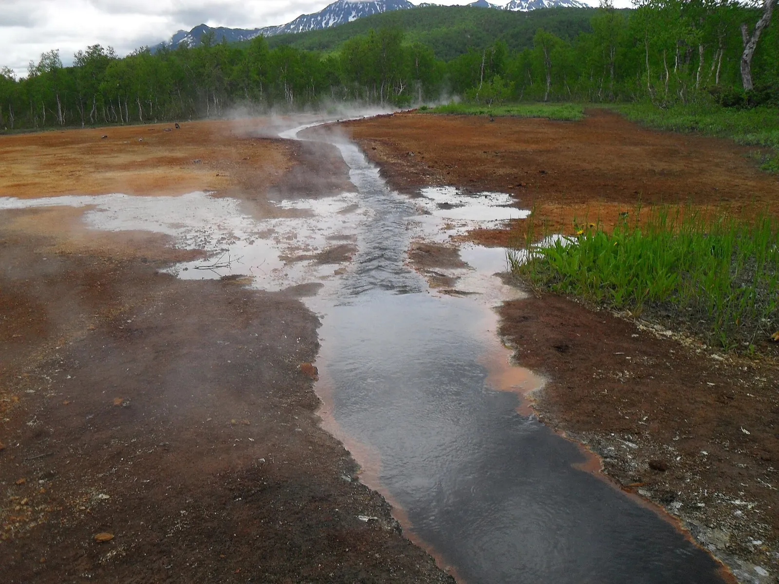
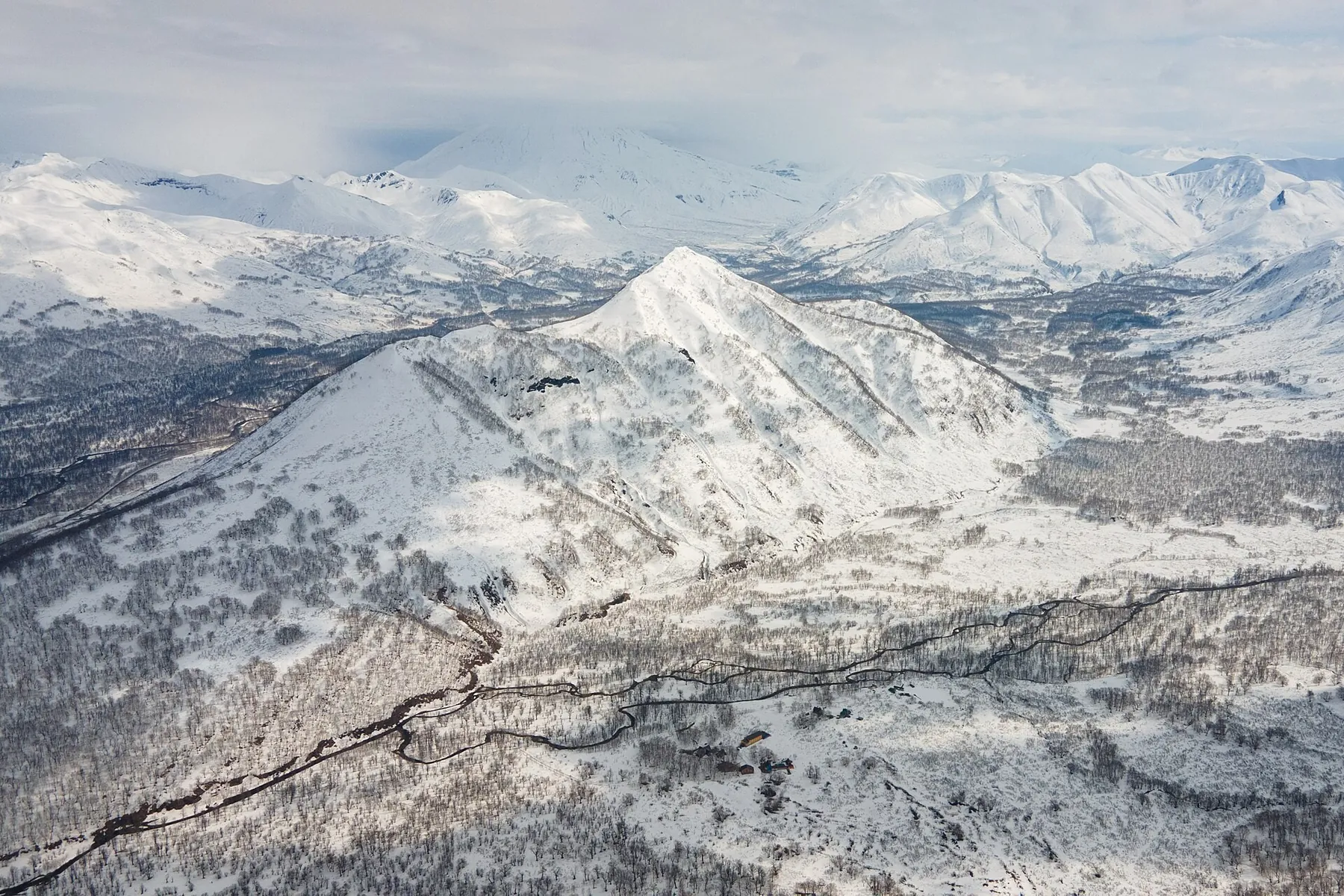
See Kutkhiny Baty from a checked viewpoint, explore the Ozyornaya river valley and encounter the scientific side of its s…
TrailTrack region
TrailTrack has 25 public routes in Kamchatka Krai for hiking, travel and road trips. Distances range from 1.6 to 109.5 km. Featured: Vachkazhets: Takhkoloch’s lake circuit through the cirque and two waterfalls, Vertical Cape: woodland branch to the Pacific viewpoint and Towards Pionerskaya via Prilivnoye: woodland passage from the city edge to the ocean. Each route has a map, distance, difficulty and a GPX/KML download.
Collection
See Kutkhiny Baty from a checked viewpoint, explore the Ozyornaya river valley and encounter the scientific side of its s…
Explore different sides of Nalychevo: woodland and Pinachevsky Pass, Dzendzur’s northern volcanic approach, mineral sprin…
Combine a view of Prilivnoye Lake with a woodland approach towards the open ocean shore. This version brings together the…
View Takhkoloch from different sides and connect it with two waterfall stops and the Letnyaya Poperechnaya cirque. The up…
Walk from the remote ranger-station side through the pass woodland to Esso, finishing beside the Uksichan and museum wate…
Explore the southern side of Gorely’s crater landscape and see the small Side Crater formation from an external passage. …
See the lower Nalycheva valley give way to the Ostrovnaya river side during an agreed winter journey. The appeal lies in …
Return from the Talovaya valley through named Malysh Pass towards Babye’s woodland side and the central ranger-station ar…
Walk from Pinachevo through named woodland ranger-post places to Pinachevsky Pass, then descend towards Nalychevo. The pa…
Once access is confirmed, explore the winter saddle of Koryaksky Pass, Shumnaya’s river side and named Aag Narzans. The s…
Approach the stone Camel from the Avachinsky ranger-station side and view two volcanoes across open mountain terrain. The…
Follow Gorely’s caldera side and the Sredinnoye passage towards the road approach before Opasny. Combine it with a separa…
Walk through the Vulkashiki side from the road start, see the western outlook towards Esso and finish via Pionerskaya Hil…
Reach Ilmagan Lake through the upper road and woodland sections, pause on the permitted shore and see a quiet mountain la…
See Galyamaki’s winter side and follow mountain approaches into the Malaya Romanovka valley, then the woodland road towar…
Follow the woodland approach from Esso through Nyulki towards Dygeren’s upper side, then descend to Alpine Shelter. The h…
View Snow Leopard Waterfall from its lookout side and follow the open mountain approach towards Spokoyny Stream. A pause …
Follow the woodland side to Babiy Kamen’s cascades and watch a mountain stream spread over rocky ledges. The outing intro…
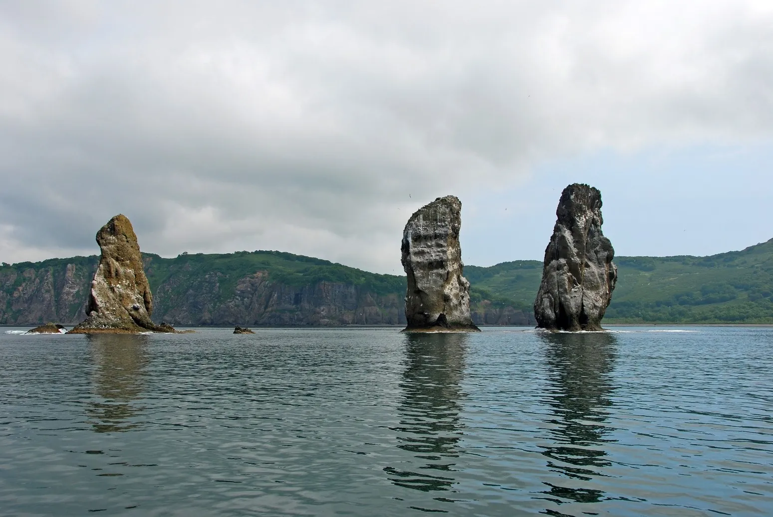
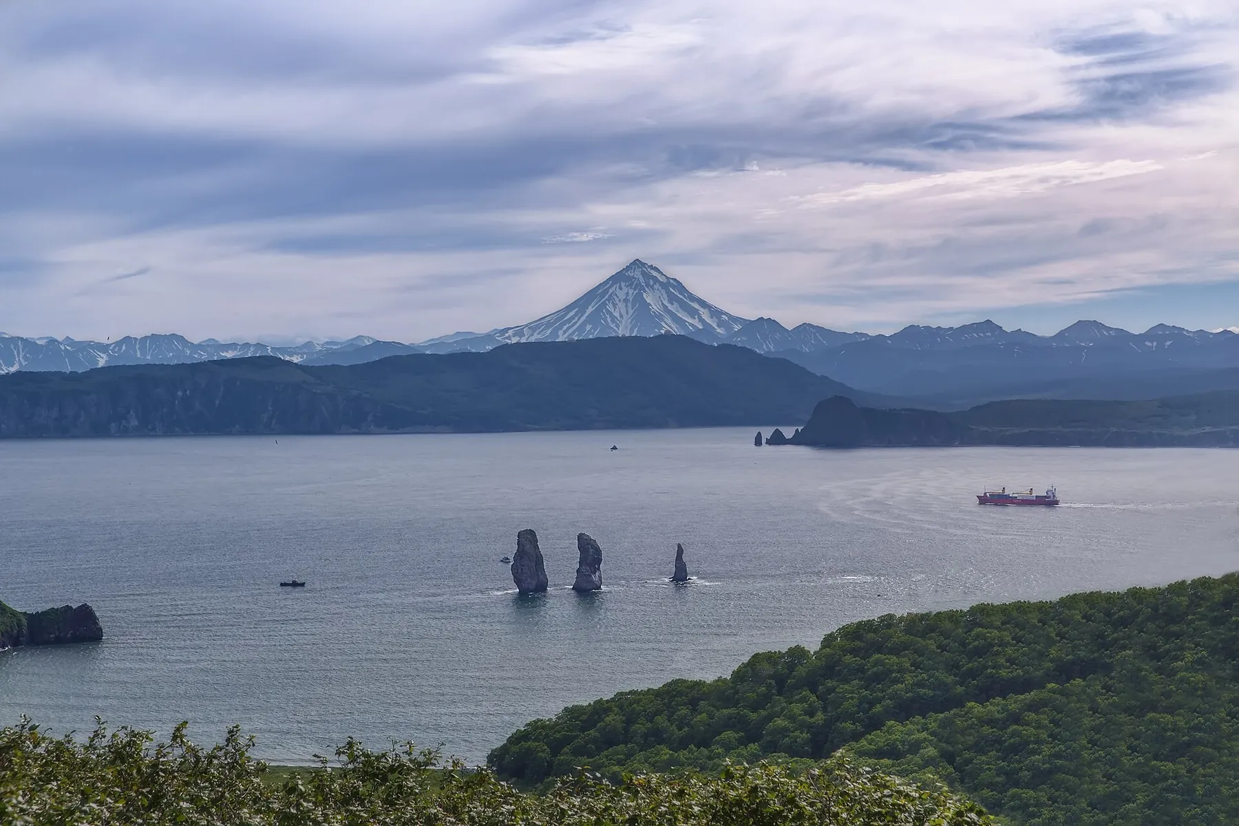
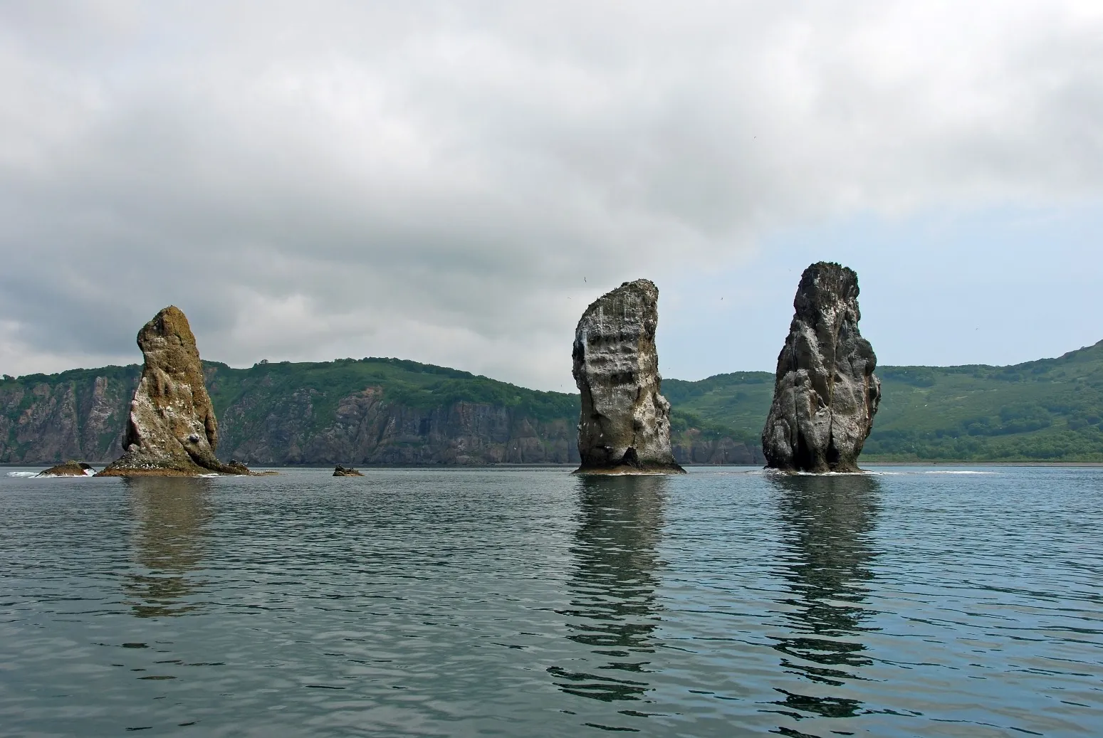
View Three Brothers Rocks from the coastal lookout and drive to Mayachny’s gun-emplacement side. The shoreline journey br…
Walk from birch woodland to Vertical Cape’s open ocean outlook. The viewpoint allows a pause above the shoreline and surf…
Watch the urban waterfront give way to birch woodland and Rakovaya’s upper rocks. Kamchatsky Stone provides a distinct st…
View the Blue Lakes cirque before descending and follow its water system towards the Polovinka valley. This version bring…
Approach Ganalskiye Vostryaki’s rocky side through woodland and upper terraces, then pause beside Lednichok Lake. The lak…
Explore two distinct thermal fields, Bear and Active, along one main approach. Steam, mud pots and hot-water outlets brin…
Stories
Pick where to start
Hikes, posts and albums are saved to your account. You can draw a route on the map without signing in.
Share a trip sign-in needed