TrailTrack routes

Routes with a prepared description, difficulty, surface details and visit planning.

Found 1895 routes
Choose a route from the list or view routes on the map.
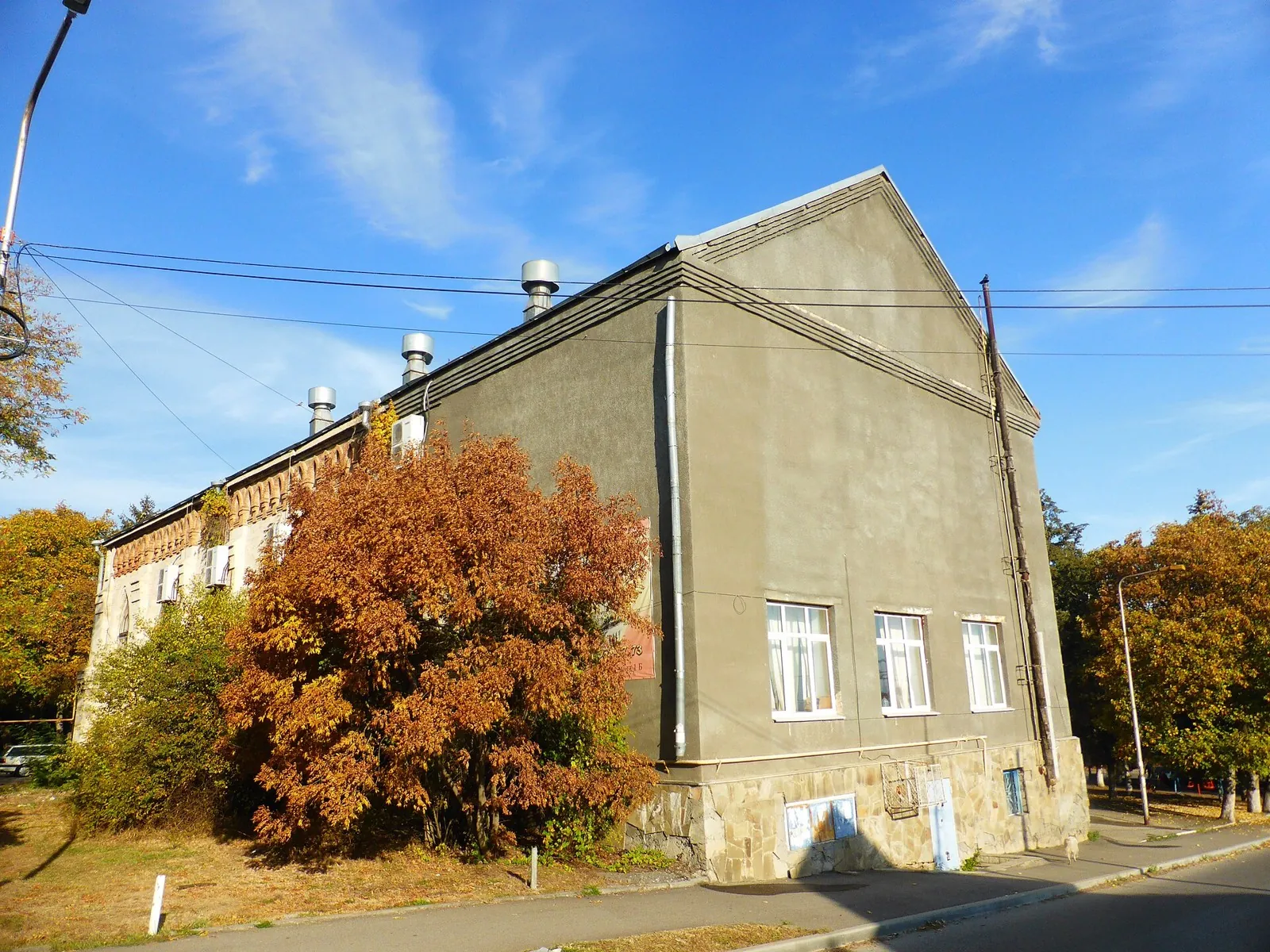
Lake Karras => Mashukskoe Loop: Cycling Route
✓ TrailTrack

Lake Karras => Mashukskoe Loop: Cycling Route

Caucasus · Off-road cycling · One-day

Plan this 5.75 km circular cycling route from its verified distance, gradients and recorded surface rather than unconfirmed landmarks. Estimated moving time is about 0.8 hours; add time for pauses and navigation.

5.8 km 69 +0 m Easy
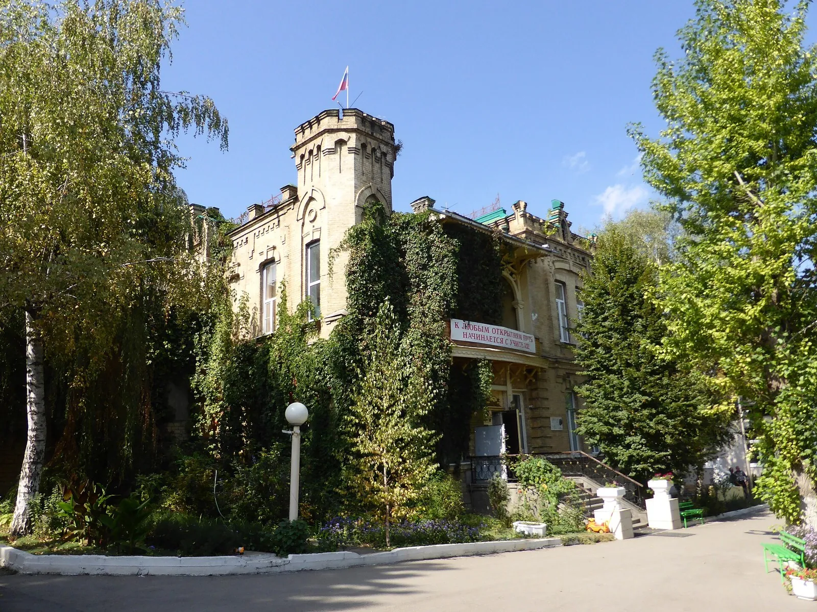
Platforma Inozemtsevo => Beshtaugorskoe Loop
✓ TrailTrack

Platforma Inozemtsevo => Beshtaugorskoe Loop

Caucasus · Off-road cycling · One-day

Plan this 4.46 km point-to-point cycling route from its verified distance, gradients and recorded surface rather than unconfirmed landmarks. Estimated moving time is about 0.7 hours; add time for pauses and navigation.

4.5 km 69 +0 m Easy
Walking Route in the Caucasus — 1,8 km
✓ TrailTrack

Walking Route in the Caucasus — 1,8 km

Caucasus · Hiking · One-day

Plan this 1.81 km point-to-point walking route from its verified distance, gradients and recorded surface rather than unconfirmed landmarks. Estimated moving time is about 0.7 hours; add time for pauses and navigation.

1.8 km 69 +0 m Easy
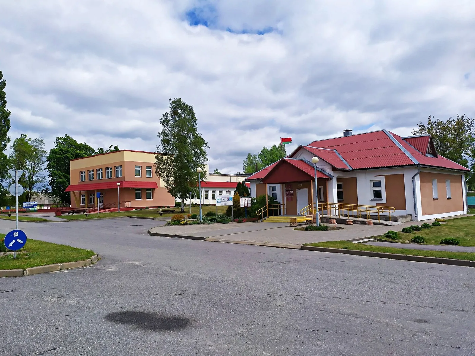
Durso Viewpoint Trail
✓ TrailTrack

Durso Viewpoint Trail

Hiking · One-day

Plan this 3.87 km point-to-point walking route from its verified distance, gradients and recorded surface rather than unconfirmed landmarks. Estimated moving time is about 1.2 hours; add time for pauses and navigation.

3.9 km 69 +0 m Easy
Kaverzinskie Waterfalls
✓ TrailTrack

Kaverzinskie Waterfalls

Hiking · One-day

Plan this 6.56 km point-to-point walking route from its verified distance, gradients and recorded surface rather than unconfirmed landmarks. Estimated moving time is about 1.9 hours; add time for pauses and navigation.

6.6 km 69 +0 m Easy
Koldun Mountain Ascent
✓ TrailTrack

Koldun Mountain Ascent

Hiking · One-day

Plan this 3.99 km point-to-point walking route from its verified distance, gradients and recorded surface rather than unconfirmed landmarks. Estimated moving time is about 1.2 hours; add time for pauses and navigation.

4.0 km 69 +0 m Easy
Pass 3571m
✓ TrailTrack

Pass 3571m

Hiking · One-day

This is a point-to-point hiking route of about 8.3 km. The clearest starting reference is Üch-Chat. Use Üch-Chat as the starting reference and Üch-Chat as the finishing reference; plan the return in advance. Features worth noticing include the nearest pass (mountain pass, directly beside the route); Ak-Tör Pass (mountain pass, about 1.4 km away); Kosh-Bel Pass (mountain pass, 3575 m, about 1.8 km away). The route itself has no recorded elevations, but nearby named features rise to about 3575 m. This matters for weather and acclimatisation. Original material: OpenStreetMap — https://www.openstreetmap.org/relation/19851257.

8.3 km 69 +668 m Easy
Kukunchak Pass
✓ TrailTrack

Kukunchak Pass

Hiking · Multi-day

The route covers about 27.1 km as a point-to-point hiking route, with Чалкойдо as the most useful starting reference. Use Чалкойдо as the starting reference and Sary-Bee as the finishing reference; plan the return in advance. Features worth noticing include the nearest pass (mountain pass, directly beside the route); Kulduk pass (mountain pass, about 1.8 km away). There is no reliable elevation profile, so climbs and descents should be checked on a detailed map. Original material: OpenStreetMap — https://www.openstreetmap.org/relation/19849266.

27.1 km 69 +1173 m Hard
Bus №5 - Qumbel
✓ TrailTrack

Bus №5 - Qumbel

Bus №5 · Hiking · One-day

This point-to-point route is about 9.7 km long. Use Leshoz to locate the starting area. Use Leshoz as the starting reference and Kokshoky as the finishing reference; plan the return in advance. Features worth noticing include Qumbel (peak, 3221 m, directly beside the route); Tri Brata (peak, 2860 m, directly beside the route); Hut Qumbel (wilderness hut, about 0.4 km away); Батарейка (peak, 2483 m, about 0.4 km away); Землянка (wilderness hut, about 0.5 km away). The route itself has no recorded elevations, but nearby named features rise to about 3256 m. This matters for weather and acclimatisation. Original material: OpenStreetMap — https://www.openstreetmap.org/relation/19924759.

9.7 km 69 +1817 m Easy
MAU 3
✓ TrailTrack

MAU 3

Bicycle · One-day

Expect roughly 4.3 km of mountain travel. The format is multi-part, and Kok Tobe is the starting reference. The route contains 4 separate parts; establish how they connect before travelling. Features worth noticing include Dinamo (peak, 1590 m, about 1.3 km away); Вертолётка (camp site, directly beside the route); Peacock Bus Stop (attraction, about 0.9 km away); Народная тропа (visitor information, about 0.5 km away); Dog walking rules (visitor information, about 1.2 km away). The route itself has no recorded elevations, but nearby named features rise to about 1590 m. This matters for weather and acclimatisation. Original material: OpenStreetMap — https://www.openstreetmap.org/relation/14419851. It states: published distance: время: 10 км туда, 1-1,5 часа туда от пересечения пр. Достык и ул. Сатпаева;0,5 часа обратно..

4.3 km 69 +287 m Easy
Vileyka Loop: Reverse route
✓ TrailTrack

Vileyka Loop: Reverse route

Kp2, Sosenka, 133km · Bicycle · Multi-day

This 300.32 km point-to-point cycling route passes through terrain where woodland is one of the route's main features. Gentle terrain: 402 m of total ascent over 300.32 km. Surface: asphalt. Allow at least 4 days and verify overnight and exit options independently.

300.3 km 69 +402 m Hard
Bobruisk: Soligorsk: Road between Towns
✓ TrailTrack

Bobruisk: Soligorsk: Road between Towns

Bicycle · Multi-day

This 340.64 km point-to-point cycling route is shaped by its terrain, surface and pace rather than a single landmark. Gentle terrain: 53 m of total ascent over 340.64 km. Allow at least 5 days and verify overnight and exit options independently.

340.6 km 69 +53 m Hard
Minsk Grand Circuit: Eastern route
✓ TrailTrack

Minsk Grand Circuit: Eastern route

Kp3, Fanipol, 166 · Bicycle · Multi-day

This 204.18 km point-to-point cycling route passes through terrain where woodland is one of the route's main features. Gentle terrain: 263 m of total ascent over 204.18 km. Surface: asphalt plus concrete. Allow at least 3 days and verify overnight and exit options independently.

204.2 km 69 +263 m Hard
Hills of the Minsk Region: Western route
✓ TrailTrack

Hills of the Minsk Region: Western route

345m · Bicycle · Multi-day

This 202.45 km point-to-point cycling route passes through terrain where woodland is one of the route's main features. Gentle terrain: 446 m of total ascent over 202.45 km. Surface: asphalt. Allow at least 3 days and verify overnight and exit options independently.

202.5 km 69 +446 m Hard
Logoisk Hills: via Minsk
✓ TrailTrack

Logoisk Hills: via Minsk

M · Bicycle · Multi-day

Treat this 199.01 km circular cycling route as a complete outing, paying attention to the terrain and changing surface underfoot. Gentle terrain: 471 m of total ascent over 199.01 km. Allow at least 3 days and verify overnight and exit options independently.

199.0 km 69 +471 m Hard
Vileyka Loop: via Minsk
✓ TrailTrack

Vileyka Loop: via Minsk

Kp3, Zembin, 203km · Bicycle · Multi-day

Treat this 301.8 km point-to-point cycling route as a complete outing, paying attention to the terrain and changing surface underfoot. Gentle terrain: 319 m of total ascent over 301.8 km. Allow at least 4 days and verify overnight and exit options independently.

301.8 km 69 +319 m Hard
Lida: Grand Journey
✓ TrailTrack

Lida: Grand Journey

Kp1 Evroopt 87 km · Bicycle · Multi-day

Treat this 612.71 km circular cycling route as a complete outing, paying attention to the terrain and changing surface underfoot. Gentle terrain: 422 m of total ascent over 612.71 km. Allow at least 9 days and verify overnight and exit options independently.

612.7 km 69 +422 m Hard
Randonneurs’ Anniversary Route: via Dyatlovo
✓ TrailTrack

Randonneurs’ Anniversary Route: via Dyatlovo

Bicycle · Multi-day

Woodland is one of the route's main features along this 202.67 km circular cycling route. Gentle terrain: 285 m of total ascent over 202.67 km. Surface: asphalt. Allow at least 3 days and verify overnight and exit options independently.

202.7 km 69 +285 m Hard
Road of Castles: via Radun
✓ TrailTrack

Road of Castles: via Radun

Kp0 Grodno · Bicycle · Multi-day

This 397.61 km point-to-point cycling route passes through terrain where the route includes sites with cultural context. Gentle terrain: 212 m of total ascent over 397.61 km. Surface: asphalt. Allow at least 6 days and verify overnight and exit options independently.

397.6 km 69 +212 m Hard
Grodno: Minsk
✓ TrailTrack

Grodno: Minsk

Bicycle · Multi-day

This is a 305.16 km point-to-point cycling route with a complete recorded line to follow from start to finish. Gentle terrain: 341 m of total ascent over 305.16 km. Surface: asphalt. Allow at least 5 days and verify overnight and exit options independently.

305.2 km 69 +341 m Hard
Trans-Belarus: Ferry Section
✓ TrailTrack

Trans-Belarus: Ferry Section

Bicycle · Multi-day

This 122.51 km point-to-point cycling route passes through terrain where shore or waterside sections are recorded on the route. Gentle terrain: 108 m of total ascent over 122.51 km. Surface: asphalt. Allow at least 2 days and verify overnight and exit options independently.

122.5 km 69 +108 m Hard
Autumn Roads
✓ TrailTrack

Autumn Roads

Start · Bicycle · Multi-day

Expect woodland is one of the route's main features on this 204.96 km circular cycling route. Gentle terrain: 147 m of total ascent over 204.96 km. Surface: asphalt. Allow at least 3 days and verify overnight and exit options independently.

205.0 km 69 +147 m Hard
Gorki: Krichev: Long Journey through Changing Landscapes
✓ TrailTrack

Gorki: Krichev: Long Journey through Changing Landscapes

Bicycle · Multi-day

This is a 1002.86 km point-to-point cycling route with a complete recorded line to follow from start to finish. Gentle terrain: 197 m of total ascent over 1002.86 km. Surface: asphalt. Allow at least 14 days and verify overnight and exit options independently.

1002.9 km 69 +197 m Hard
Rivers North of Gomel: Vetka, Svetilovichi and the Southern Road by Chechersk
✓ TrailTrack

Rivers North of Gomel: Vetka, Svetilovichi and the Southern Road by Chechersk

Kp 4 Finish · Bicycle · One-day

Connect Vetka and Svetilovichi through a succession of Polesye rivers. The Besed, Pokot and Sozh give the northern section its character, while the southern road beyond the Sozh distinguishes this version from rides through Chechersk’s central square.

205.2 km 69 +156 m Hard
Back Page 72 of 79 Next